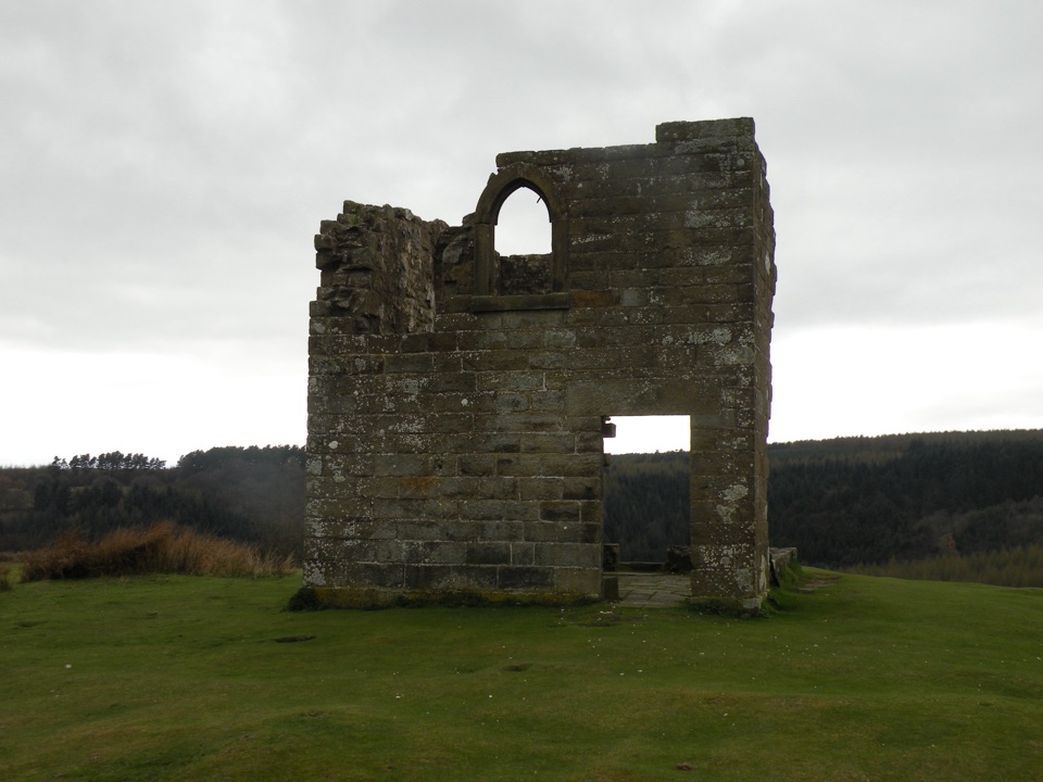
Skelton Tower in North York Moors National Park

Sight · North York Moors National Park

Skelton Tower

Ruined 1830s shooting lodge perched high above Newtondale's steam railway

Photo: Wikimedia Commons
Type
Sight
Nearest trail
1.8 km
Audio stories
9 nearby
  • Scenic viewpoint

Hear the audio tour

Hole of Horcum

Overview

About Skelton Tower

Why stop

  • Exceptional views down Newtondale
  • Distinctive ruined shooting lodge

Heads up

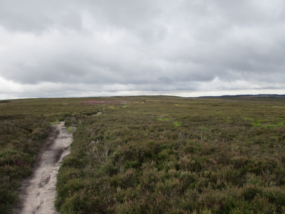
  • Requires a walk over exposed moorland

Map

Where it is

Loading the North York Moors map
Full map
SightSkelton Tower54.32483, -0.74063
Keep this map with you offline in the Parkwolf app

Plan your stop

Before you go

Best time to go

  • Pick a clear, calm day. In mist the view disappears entirely and the walk stops being worth it.
  • Early or late daylight gives raking side light on the sandstone and a less blown-out sky than midday.
  • Sit on the grass and listen. Train whistles carry up from the valley with enough warning to get a camera ready, though nothing about the timetable is guaranteed.
  • The headland is a good picnic spot, and quiet compared with the busier Hole of Horcum rim.

Getting there

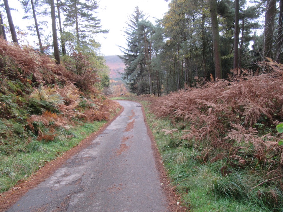
This is a walking destination, not a drive-up viewpoint. The usual approaches are on foot from Levisham village or Levisham Station, or as a detour on longer routes linking the Hole of Horcum and Levisham Moor. One well-used circuit from Levisham runs about 7.4 miles (12 km) with roughly 900 feet (273 m) of ascent, mostly on good paths, and takes around four and a half hours at an easy pace. On-street parking in Levisham is often available, but treat that as route context rather than a promise.

There are no facilities at the tower: no toilets, no parking, no cafe, nothing staffed. Levisham Station and the Hole of Horcum car park are separate places with their own arrangements, and neither is close enough to count as a facility here.

8 active North York Moors alerts

  • ClosureHawnby Bridleway 110 closurePublic Bridleway 25.122/110/1 in Hawnby is closed to pedestrians, cyclists and equestrians because its bridge is unsafe. - The closure is between grid references SE 5309 9073 and SE 5335 9097.Official details
  • ClosureWest Ayton Footpath 1 closurePublic Footpath 1 in West Ayton (Forge Valley) is temporarily closed because its boardwalk is unsafe. - The closure is between SE 9860 8494 and SE 9839 8712.Official details
See all 8 alerts
A park ranger sits on a dash-mounted phone, talking, as Parkwolf’s Tour Guide plays “Army Cutworm Moths: A Grizzly Bear Buffet” on Grand Loop Road below Dunraven Pass in Yellowstone
Parkwolf Tour GuideThe highest, rockiest slopes around here are a summer buffet for grizzly bears.

North York Moors Tour Guide

Your drive to Skelton Tower, narrated.

Parkwolf is a GPS audio tour guide for North York Moors National Park. As you drive, it chimes in with what’s ahead: hidden gems, upcoming stops, history, geology, and wildlife, right through your car’s speakers.

Recorded for this place

Hole of Horcum
0:00 / 0:35
“You're approaching the Hole of Horcum, a natural amphitheatre scooped roughly 400 feet deep and more than half a mile wide into the open moor.”

Plays as you drive up to Skelton Tower in the Parkwolf North York Moors Tour Guide.

More stories near here in the app

  • The Hole Geologists Still Debate
  • The Valley the Ice Left
  • The Rector's Moorland Tower
  • The Halt Without a Road
  • 298 audio storiesacross North York Moors’s roads, triggered by GPS as you drive
  • Wildlife heatmapsfor Eurasian Otter, Red Deer, Grey Seal, and 13 more
  • Works offlinemaps, 126 trails, 65 places, and audio download before you lose signal
  • CarPlay readysimple controls built for the drive
★★★★★
“Fantastic app with many points of information… It’s great to just turn on while you’re driving and it gives you an audio tour of the national Park. We love it!!!!”
JMJamesApp Store review
Download Parkwolf on the App StoreGet Parkwolf on Google Play

4.7 from 8,600+ ratings

Guide

More about Skelton Tower

Why make the detourA small, roofless stone shell on the lip of Corn Hill Point, sitting on a grassy headland that…

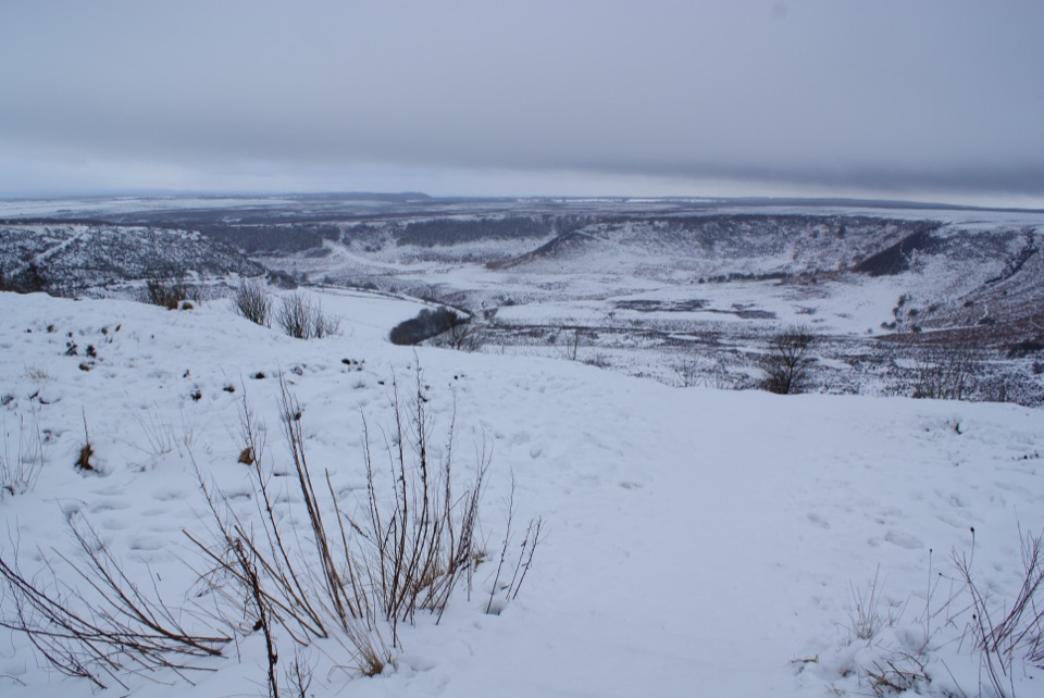
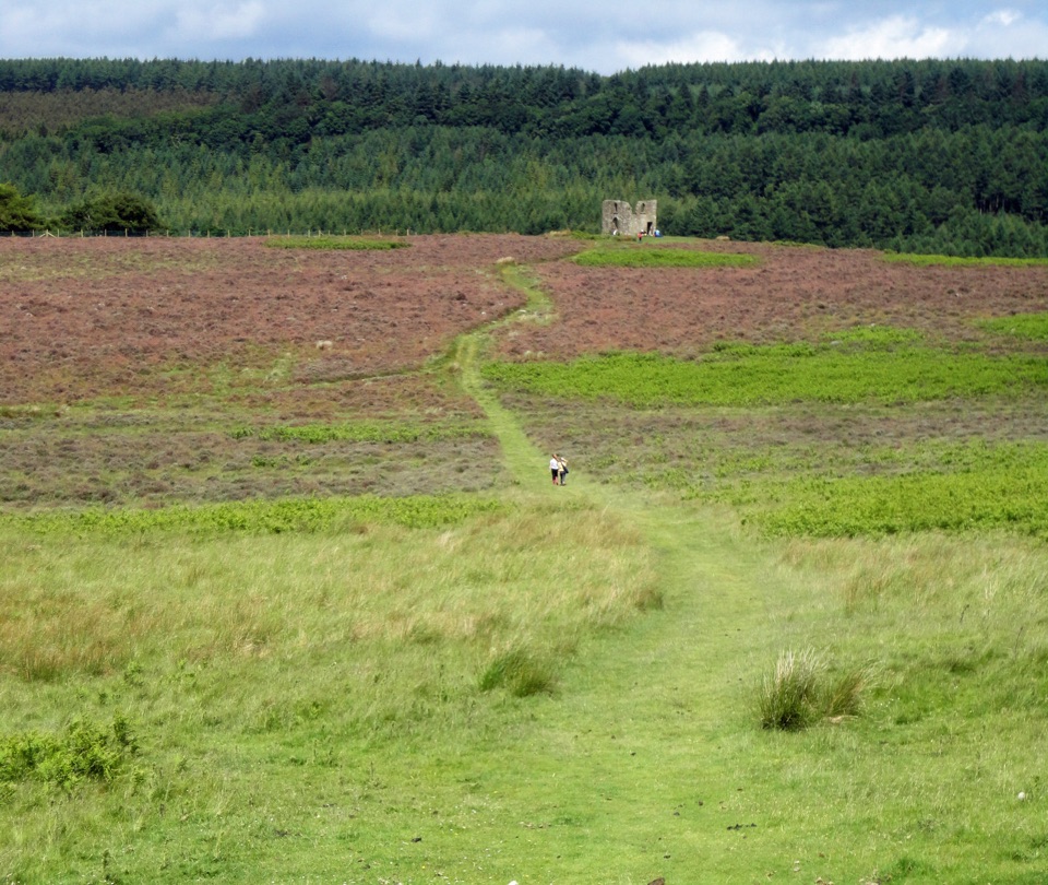
A small, roofless stone shell on the lip of Corn Hill Point, sitting on a grassy headland that drops away into Newtondale. The view is the reason to come: a long, deep, wooded valley with the North Yorkshire Moors Railway threading along the bottom, far enough below that a steam locomotive looks like a model. The ruin itself takes two minutes to look over. The headland beside it can hold you for an hour.

What it actually isBuilt around 1830 for the Reverend Robert Skelton, then rector of Levisham, as a shooting lodge…

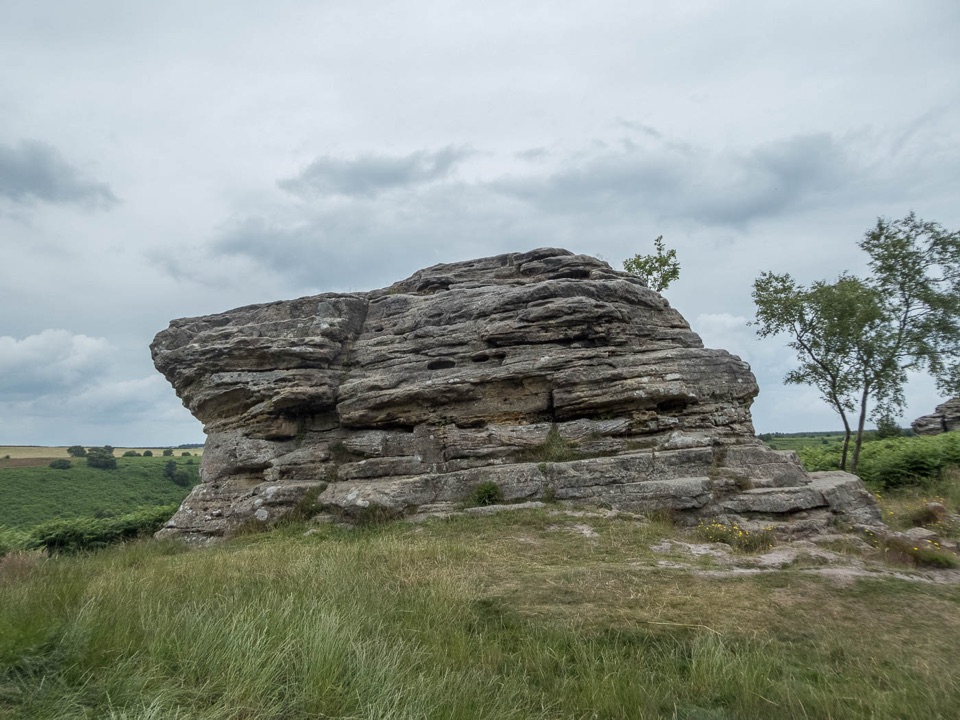
Built around 1830 for the Reverend Robert Skelton, then rector of Levisham, as a shooting lodge with overnight lodgings after a day on the moors. It is a square, two-storey, single-bay building in dressed sandstone, Grade II listed, and long since part ruined. Look for the pointed windows, stubs of iron glazing bars still set in the stone, the remains of a plain interior stair, and a small fireplace at first-floor level. A rector's private hunting retreat is an odd thing to find alone on open moorland, and that oddity is much of the appeal.

Honest drawbacksThe ruin is not extensive, so come for the setting rather than the architecture.

The ruin is not extensive, so come for the setting rather than the architecture. The approach includes uneven ground and a short steep section, and the summit is fully exposed to wind and rain with no shelter. Bring sturdy footwear, water, weatherproof layers, and a map or offline route, since this is open moorland where paths are easy to misread. Do not count on the walk being suitable if you need level, surfaced going.

Wildlife

Wildlife in North York Moors

All North York Moors wildlife maps

Sighting maps show where each species has been reported across North York Moors. Wildlife moves, so no sighting is guaranteed.

Keep exploring

Near Skelton Tower

See it all on the map

Trails nearby

More stops nearby

Parkwolf’s North York Moors ranking

Top sights in North York Moors

All 65 places
  1. 1North Yorkshire Moors RailwaySight
  2. 2Roseberry ToppingSight
  3. 3Rievaulx AbbeySight
  4. 4Robin Hood's Bay and BeachSight
  5. 5Hole of HorcumSight
  6. 6Goathland StationSight

Take Parkwolf to North York Moors.

The audio tour guide for the drive, plus offline maps, trails, and wildlife heatmaps for when the signal drops.

4.7 from 8,600+ ratings

Download Parkwolf on the App StoreGet Parkwolf on Google Play