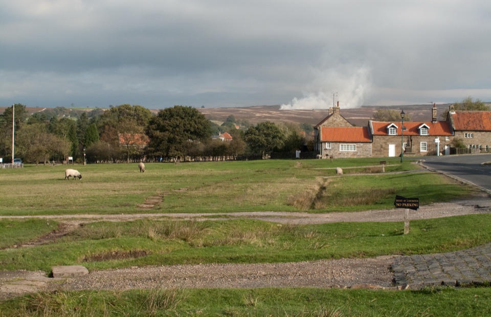
Hole of Horcum in North York Moors National Park

#5 of 55 sights in North York Moors

Sight · North York Moors National Park

Hole of Horcum

A 400-foot heather amphitheatre with a short accessible view platform

Photo: Wikimedia Commons
Type
Sight
Nearest trail
0.8 km
Audio stories
6 nearby
  • Scenic viewpoint
  • Parking
  • Restrooms

Hear the audio tour

Hole of Horcum

Overview

About Hole of Horcum

Why stop

  • Huge amphitheatre view from the rim
  • Accessible platform before the longer walk

Heads up

  • Wind and fog can erase the main view
  • Steep, uneven ground beyond the platform
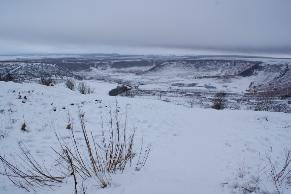
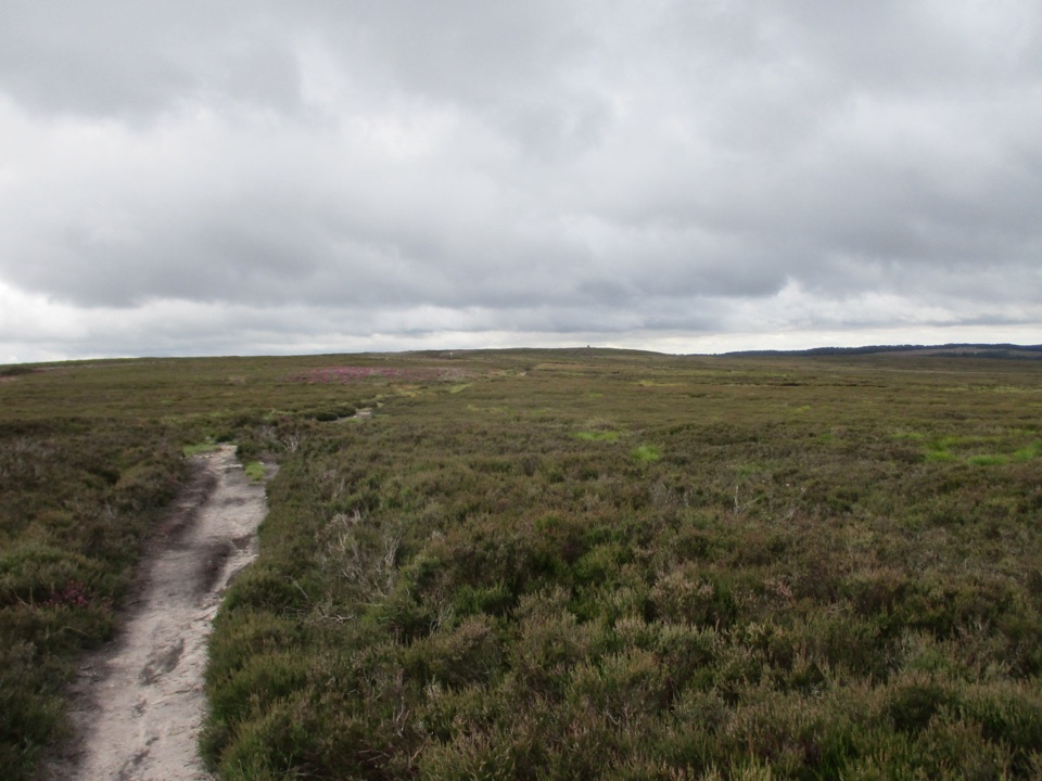
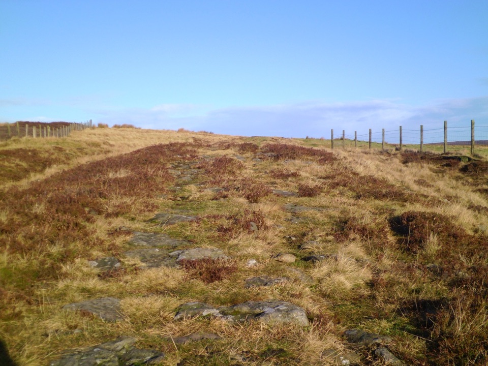
This is a natural amphitheatre roughly 400 feet deep and more than half a mile wide, scooped into open moorland. From the rim you look straight down into the bowl, with heather and bilberry heath falling away to Levisham Beck at the bottom. It is one of the most spectacular views in the national park, and it works both as a five-minute look and as the start of a half-day walk.
Parkwolf’s verdictWhy stop

Map

Where it is

Loading the North York Moors map
Full map
SightHole of Horcum54.33159, -0.70218
Keep this map with you offline in the Parkwolf app

Plan your stop

Before you go

Best time to go

Go in clear weather; low cloud and fog can hide the whole bowl and leave you looking at grey. Early mornings and weekdays are quieter. Bring layers for an exposed rim, sturdy footwear for wet and uneven ground, water, and a map or charged phone if you are walking beyond the platform.

The short, accessible option

From the Hole of Horcum car park at Saltergate, a short walk leads to a fully accessible viewing platform with a wide panorama over the hollow. If you have limited time, limited mobility, or young children, this alone is worth the stop. The car park has two accessible portaloos; permanent toilets are elsewhere in the area.

8 active North York Moors alerts

  • ClosureHawnby Bridleway 110 closurePublic Bridleway 25.122/110/1 in Hawnby is closed to pedestrians, cyclists and equestrians because its bridge is unsafe. - The closure is between grid references SE 5309 9073 and SE 5335 9097.Official details
  • ClosureWest Ayton Footpath 1 closurePublic Footpath 1 in West Ayton (Forge Valley) is temporarily closed because its boardwalk is unsafe. - The closure is between SE 9860 8494 and SE 9839 8712.Official details
See all 8 alerts
A park ranger sits on a dash-mounted phone, talking, as Parkwolf’s Tour Guide plays “Army Cutworm Moths: A Grizzly Bear Buffet” on Grand Loop Road below Dunraven Pass in Yellowstone
Parkwolf Tour GuideThe highest, rockiest slopes around here are a summer buffet for grizzly bears.

North York Moors Tour Guide

Your drive to Hole of Horcum, narrated.

Parkwolf is a GPS audio tour guide for North York Moors National Park. As you drive, it chimes in with what’s ahead: hidden gems, upcoming stops, history, geology, and wildlife, right through your car’s speakers.

Recorded for this place

Hole of Horcum
0:00 / 0:35
“You're approaching the Hole of Horcum, a natural amphitheatre scooped roughly 400 feet deep and more than half a mile wide into the open moor.”

Plays as you drive up to Hole of Horcum in the Parkwolf North York Moors Tour Guide.

More stories near here in the app

  • The Hole Geologists Still Debate
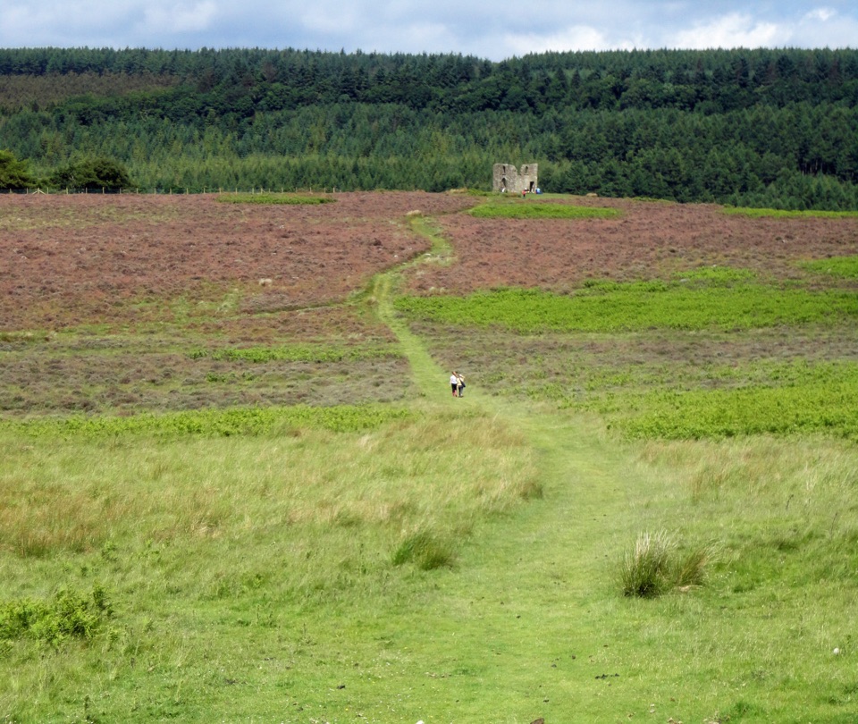
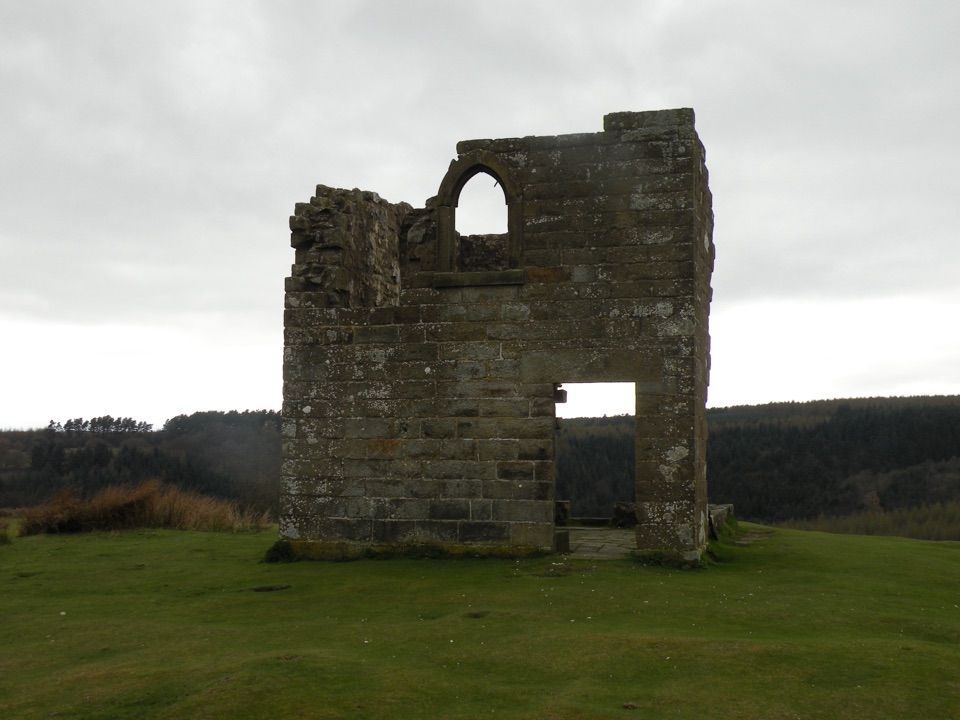
  • The Rector's Moorland Tower
  • The Valley the Ice Left
  • The Women Who Worked the Timber
  • 298 audio storiesacross North York Moors’s roads, triggered by GPS as you drive
  • Wildlife heatmapsfor Eurasian Otter, Red Deer, Grey Seal, and 13 more
  • Works offlinemaps, 126 trails, 65 places, and audio download before you lose signal
  • CarPlay readysimple controls built for the drive
★★★★★
“Fantastic app with many points of information… It’s great to just turn on while you’re driving and it gives you an audio tour of the national Park. We love it!!!!”
JMJamesApp Store review
Download Parkwolf on the App StoreGet Parkwolf on Google Play

4.7 from 8,600+ ratings

Guide

More about Hole of Horcum

The longer walkTo feel the scale, drop off the rim and walk into the valley.

To feel the scale, drop off the rim and walk into the valley. The park authority highlights a scenic five-mile route over Levisham Moor. Circular options vary: one common circuit is about 7.1 miles with roughly 1,299 feet of ascent and takes most walkers 3.5 to 4 hours, while a shorter loop of about 5.3 miles takes 2.5 to 3 hours. Treat these as examples rather than one fixed route. Expect open moorland, uneven paths, a muddy valley section after rain, and a clear climb back out at the end.

Getting thereThe A169 runs past the site about 7.

The A169 runs past the site about 7.8 miles north of Pickering, and the Saltergate car park is the practical access point on the rim. The Coastliner 840 bus stops at the Hole of Horcum, so a car is not essential.

Ecology, history and folkloreThe heather and bilberry heath grows on poor sandy soils, and the peatland supports…

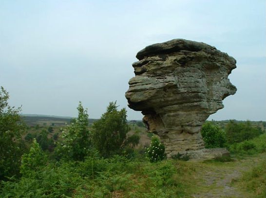
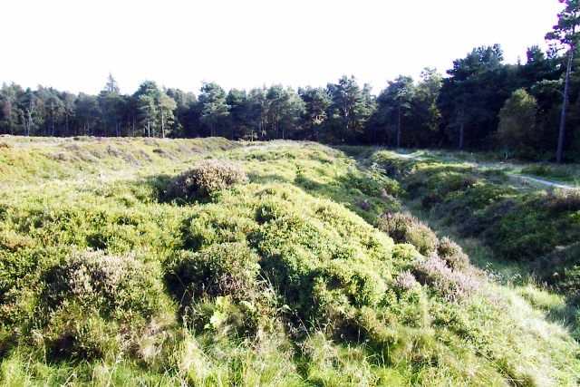
The heather and bilberry heath grows on poor sandy soils, and the peatland supports ground-nesting birds including curlew, lapwing and golden plover, though sightings are never a given. Green-winged orchid can appear in spring grassland, and the former Low Horcum farm buildings shelter a thriving bat population. People settled here around 4,000 years ago, leaving round barrows and cairns, with later medieval settlement and nineteenth-century farm buildings lived in until the 1960s. The A169 follows part of an ancient route once used for the salt trade. Local tradition says Wade the Giant scooped up the earth to throw at his wife Bell, missed, and left the Hole behind; the flung clod became Blakey Topping.


Honest drawbacksThe rim is fully exposed to wind and weather.

The rim is fully exposed to wind and weather. Beyond the viewing platform the walking is steep, uneven and often muddy, and the return climb is noticeable. The A169 carries fast traffic, so take care approaching or crossing near the car park. Dogs should be kept on leads around grazing sheep, and you may meet highland cattle on the moor.

Wildlife

Wildlife in North York Moors

All North York Moors wildlife maps

Sighting maps show where each species has been reported across North York Moors. Wildlife moves, so no sighting is guaranteed.

Keep exploring

Near Hole of Horcum

See it all on the map

Trails nearby

More stops nearby

Parkwolf’s North York Moors ranking

Top sights in North York Moors

All 65 places
  1. 1North Yorkshire Moors RailwaySight
  2. 2Roseberry ToppingSight
  3. 3Rievaulx AbbeySight
  4. 4Robin Hood's Bay and BeachSight
  5. 6Goathland StationSight
  6. 7Whitby AbbeySight

Take Parkwolf to North York Moors.

The audio tour guide for the drive, plus offline maps, trails, and wildlife heatmaps for when the signal drops.

4.7 from 8,600+ ratings

Download Parkwolf on the App StoreGet Parkwolf on Google Play