Parkwolf Tour GuideThe highest, rockiest slopes around here are a summer buffet for grizzly bears.
North York Moors Tour Guide
North York Moors, narrated.
Parkwolf is a GPS audio tour guide for North York Moors National Park. As you drive, it chimes in with what’s ahead: hidden gems, upcoming stops, history, geology, and wildlife, right through your car’s speakers.
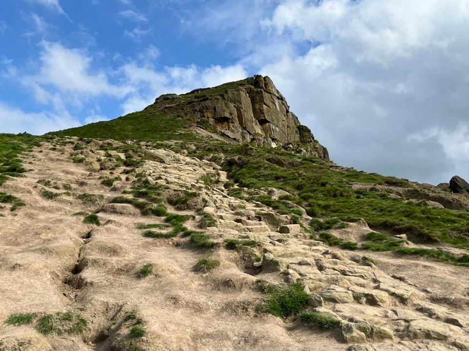
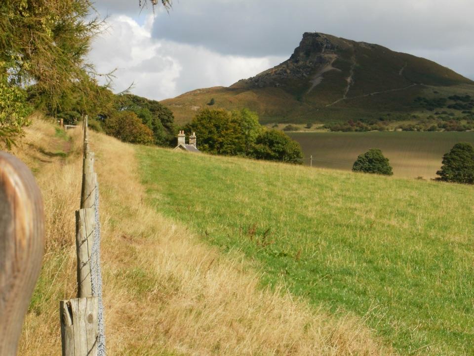
“You're coming up on Roseberry Topping, the jagged hill above Newton under Roseberry. Go for the summit view across the Cleveland Hills and out to the coast, but choose a clear day.”
Plays as you drive up to Roseberry Topping in the Parkwolf North York Moors Tour Guide.
More stories near here in the app
Gribdale Gate and Captain Cook's Monument
Guisborough Forest and Walkway
The Rock Beside Roseberry
Kildale Station and Warren Moor Mine
298 audio storiesacross North York Moors’s roads, triggered by GPS as you drive
Wildlife heatmapsfor Eurasian Otter, Red Deer, Grey Seal, and 13 more
Works offlinemaps, 125 trails, 68 places, and audio download before you lose signal
CarPlay readysimple controls built for the drive
★★★★★
“Fantastic app with many points of information… It’s great to just turn on while you’re driving and it gives you an audio tour of the national Park. We love it!!!!”
CautionFylingdales Moor wildfire recovery hazardsFylingdales Moor remains vulnerable after the wildfire: keep to well-defined paths and do not touch suspicious metal objects.Official details
ClosureWest Ayton Footpath 1 closurePublic Footpath 1 through Forge Valley is closed to pedestrians because its boardwalk is unsafe; use the signed alternative.Official details