
Place · 1 mi away
Moderate
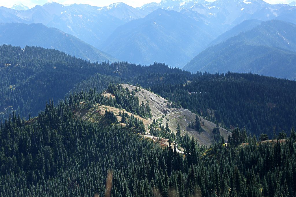
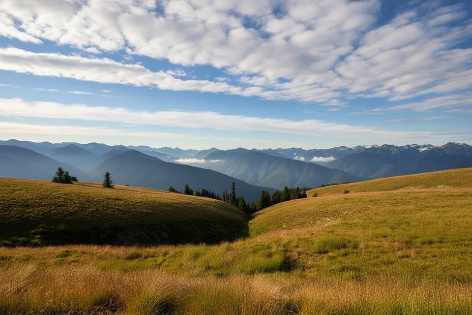
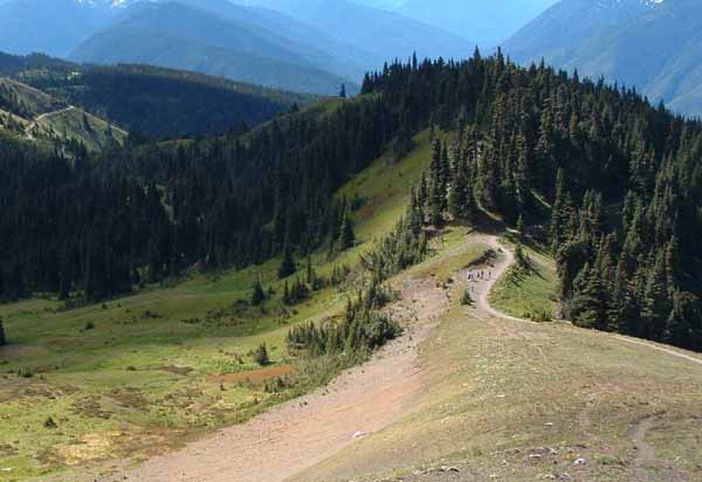
Hurricane Hill dishes out maximum views for minimal fuss. From the first steps you’re cruising a paved subalpine ridge with big, open vistas of the Olympic Mountains, the Strait of Juan de Fuca, Port Angeles, and even Vancouver Island on clear days. It’s popular for a reason: this is one of the park’s best bang‑for‑your‑effort viewpoints.
It’s an out‑and‑back of about 3.2 miles round trip (some guides list 3.4) with roughly 650–700 feet of gain. The path is paved and easy to follow, but don’t underestimate the final climb—upper sections hit steep grades (10–18%) and the wind can howl near the summit. Figure 1.5–2 hours for most hikers, more if you linger at viewpoints or read the interpretive signs.
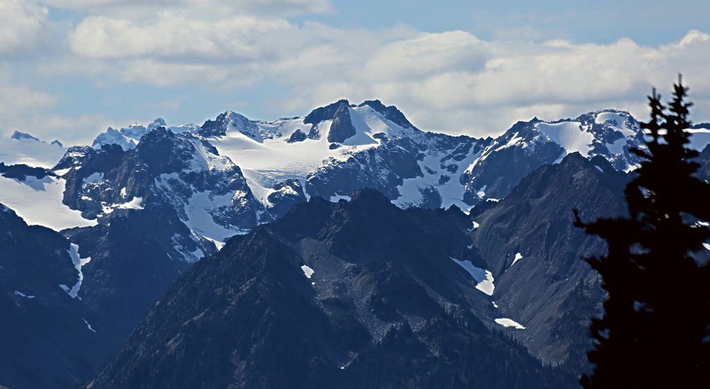
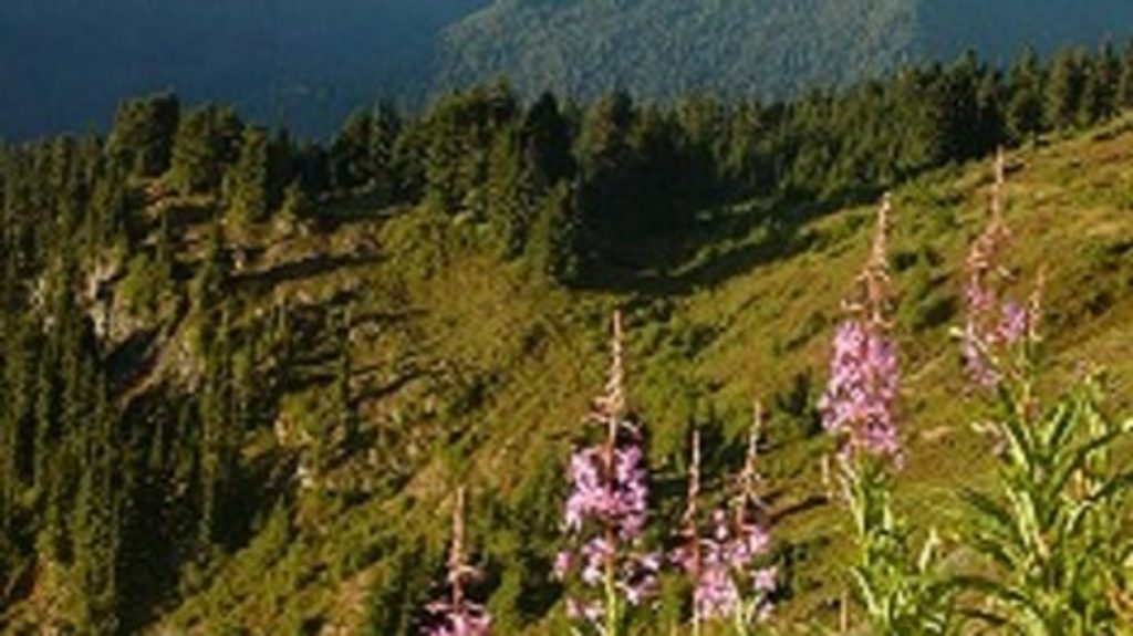
Expect constant panoramas: the Bailey Range and the broader Olympics to the south, sweeping water views to the north, and classic subalpine meadows that burst with wildflowers in July and early August. On some days, you’ll look down on cloud inversions filling the valleys. Keep an eye out for marmots and black‑tailed deer along the way; mountain goats are occasionally spotted.
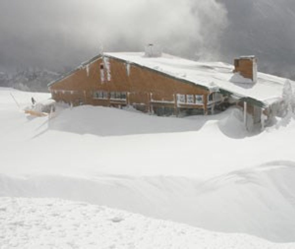
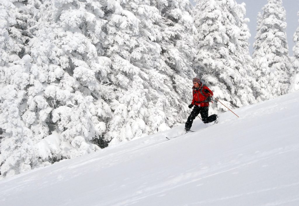
Summer (mid‑June through September) is prime—long daylight, generally clear skies, and peak wildflowers by July. Start early to beat crowds and snag parking, or aim for late afternoon toward sunset when the light rakes across the peaks. There’s little to no shade, so mid‑day can be hot. In winter, this becomes a popular snowshoe outing thanks to relatively safe terrain; only go if you’re equipped for snow travel and the weather.
The trailhead sits at the end of Hurricane Hill Road, about 2 miles past the Hurricane Ridge Visitor Center. Parking is limited and fills quickly on summer weekends. Restrooms are at the Visitor Center, not at the trailhead. There’s no water on route. Foot traffic only—no bikes. The pavement makes this more accessible than most summit hikes, but the grades and exposure mean it’s not fully wheelchair‑friendly without assistance.
Small lot at the end of Hurricane Ridge Road (about 2 miles past the Hurricane Ridge Visitor Center). Arrive early; restrooms are at the Visitor Center, not the trailhead.
Highly exposed to sun and strong wind; upper grades are steep (10–18%). Limited parking, no water on route, and rapid weather changes are common. In winter, snowshoe only with proper gear; check the NPS webcam and conditions before you go.
Place · 1 mi away
Place · 1.1 mi away
Place · 1.1 mi away
Place · 2.3 mi away
Challenging · 0.5 mi away
Easy · 1 mi away
Easy · 1 mi away
Challenging · 1 mi away

Parkwolf Tour Guide
