
Place · 0 mi away
Challenging
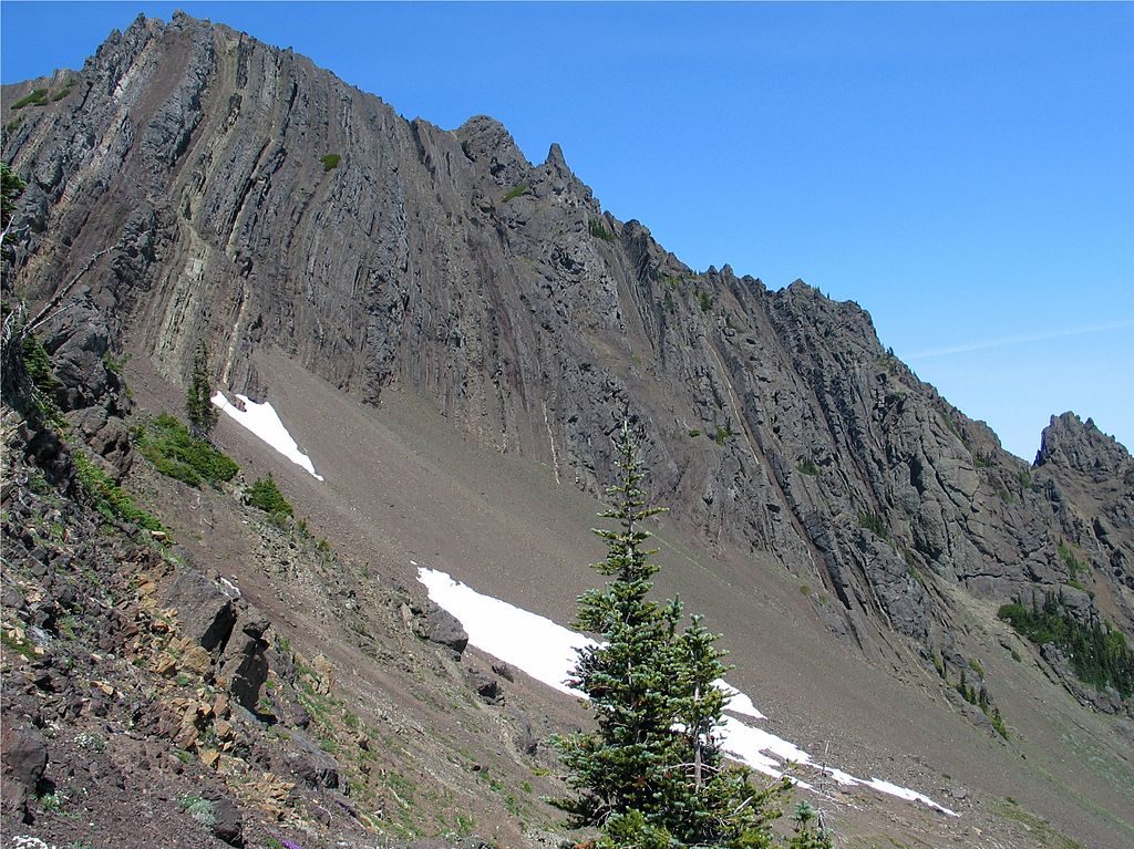
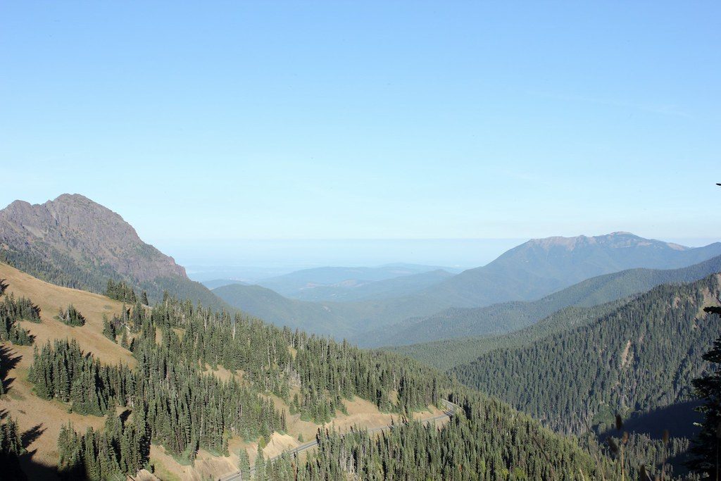
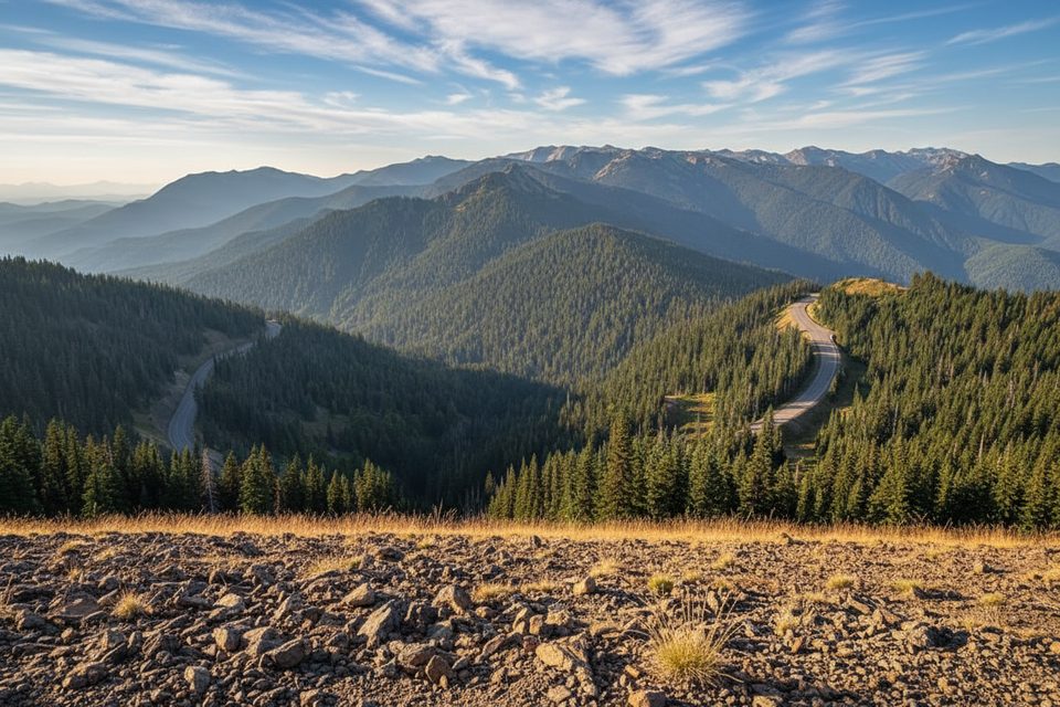
Mount Angeles is the high point looming over Hurricane Ridge, and the hike feels every bit as alpine as it looks. From the Hurricane Ridge Visitor Center, it’s roughly 6.0–6.25 miles total, out-and-back, following the Klahhane Ridge corridor before a steep climber’s spur leads to a hands-on summit scramble. The reward: 360° views that swing from the Olympic interior to the Strait of Juan de Fuca and, on clear days, Canada.
Most of the route is straightforward ridge walking with rolling gain; the character changes abruptly at the Mount Angeles spur. Here the path steepens, footing grows loose, and you’ll use your hands on at least Class 3 moves with real exposure. If that sounds like a stretch, turn around at the base of the scramble—your day will still deliver outstanding scenery without the risk.
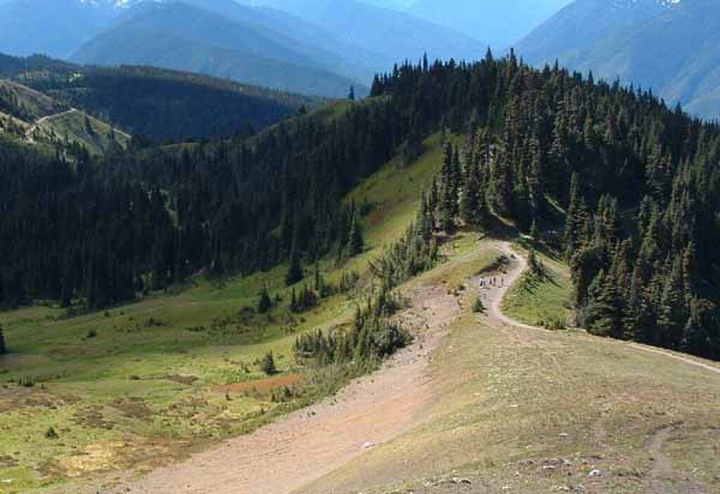
Expect dirt singletrack and rocky tread along the ridge, transitioning to loose scree and blocky rock near the top. In early summer, look for wildflowers like avalanche lilies near the trailhead and meadows. The mountain’s craggy look comes from uplifted marine sedimentary rocks and heavy glacial carving—a geology lesson written in ridgelines and chutes.
Navigation is simple until the fork on Klahhane Ridge where the climber’s path heads toward Mount Angeles; it may not be clearly signed. Beyond that, the scramble is unmarked and multiple lines exist—choose carefully, especially on descent, where loose rock is most treacherous. Late-melting snowfields can linger into July and even August, obscuring the route.
Best time to hike: summer, particularly July–September, when the ridge is typically snow-free and weather is more reliable. Hurricane Ridge weather shifts fast; early mornings often have steadier visibility and gentler winds, and weekdays are typically quieter. Winter ascents are a different game entirely—snow travel gear, avalanche awareness, and experience required.
Alternate start: For a shorter but steeper approach, the Switchback Trailhead off Hurricane Ridge Road reaches Klahhane Ridge quickly; that variant is about 3–4 miles round-trip but still ends with the same unmarked scramble. Whichever start you choose, this one is best for hikers comfortable with exposure and route-finding. If you want similar views without scrambling, consider exploring Klahhane Ridge and skipping the summit block.
Park at Hurricane Ridge Visitor Center for the 6+ mile route; limited parking also exists at the Switchback Trailhead (~14.8 miles up Hurricane Ridge Road) for the shorter, steeper approach.
Final summit section is an unmarked Class 3 scramble with exposure and loose rock; junction to the climber’s path may lack clear signage; lingering snowfields into summer; rapidly changing weather on Hurricane Ridge.
Place · 0 mi away
Place · 0.2 mi away
Place · 2 mi away
Place · 2.6 mi away
Easy · 0 mi away
Easy · 0 mi away

Easy · 0.1 mi away
Easy · 0.1 mi away

Parkwolf Tour Guide
