Pros & cons
PROS
- Mile‑marker system makes planning easy across 113 miles
- Access to coral reefs, beaches, and wildlife‑rich stops
CONS
- Facilities are scattered; many parks and attractions charge entry
- No stopping on bridges; plan pullouts and restrooms in advance
Overview
The Florida Keys are the payoff of the Overseas Highway drive—113 miles of islands, bridges, and teal water stitched together on the old Overseas Railroad corridor. It’s a choose‑your‑own‑adventure: quick viewpoints and beaches, or full days of snorkeling, museums, and wildlife encounters.
Why it’s special
You’re driving through the largest coral‑reef access on the U.S. mainland, with tropical savanna vibes and a real chance to spot American crocodiles, alligators, and—down in the Lower Keys—endangered Key deer. Add long bridges (hello, Seven Mile) and you’ve got one of America’s great coastal road trips.
A bite of history
Touring the Keys by car started as an idea in 1921 and became reality in 1928 as State Road 4A, with a big ferry gap in the middle. After the 1935 Labor Day hurricane wrecked the railroad, the state bought the roadbed and bridges and began replacing ferries with automobile bridges. Modern upgrades followed, including wider sections and new bridges in the 1970s.
How to navigate
Mile markers (MM) are your compass—MM 0 in Key West to roughly MM 106 in Key Largo. Addresses often match the nearest tenth of a mile. A handy quirk: odd numbers usually mean oceanside, even numbers bayside (with a few exceptions). Use markers to time stops and meet‑ups.
Standout stops (north to south)
- John Pennekamp Coral Reef State Park (Key Largo): classic snorkeling, glass‑bottom boats, paddling.
- Windley Key Fossil Reef Geological State Park (Islamorada, MM 84.9): walk a fossil reef quarry tied to the old railroad.
- History of Diving Museum (Islamorada): compact, weather‑proof maritime fix.
- Robbie’s of Islamorada: dockside tarpon feeding plus kayak/SUP rentals.
- Anne’s Beach (Lower Matecumbe): boardwalks and shallow wading.
- Long Key and Curry Hammock State Parks (Middle Keys): quieter beaches, paddling, birding.
- Dolphin Research Center and Florida Keys Aquarium Encounters (Marathon area): marine‑life education.
- Crane Point Hammock and The Turtle Hospital (Marathon): hammock trails and sea‑turtle rehab tours.
- Bahia Honda State Park (near Big Pine): photogenic beaches and easy snorkeling.
- National Key Deer Refuge (Big Pine Key): respectful chance to see Key deer near habitat trails.
- Key West: architecture, museums, water tours, and sunset at Mallory Square.
Amenities and pit‑stop intel
You’ll find restrooms and parking most reliably at state parks, beaches, museums, and in town centers—fees or tickets may apply and hours vary. Example clusters: Upper Keys around John Pennekamp; Islamorada near the museum and beaches; Marathon around Curry Hammock, Dolphin Research Center, and the Turtle Hospital; Lower Keys at Bahia Honda before you roll into Big Pine and Key West. Gas stations and groceries fill the gaps. Do not stop on bridges—use signed pullouts, parks, or towns.
Wildlife etiquette
Drive carefully on Big Pine Key; Key deer often cross near dawn and dusk. In the water, book tours early, use reef‑safe sunscreen, and never touch coral or seagrass.
Best time to visit
Aim for mornings: cooler light, smaller crowds, and you’ll dodge the common afternoon sun and storms. Time a southbound day to land in Key West for sunset; if you’re chasing wildlife, early and late light are your best windows.
Where it is
25.0273, -81.5358Tips for Florida Keys
- 01Use mile markers to plan stops; odd is oceanside, even is bayside.
- 02Book snorkeling and tours early and bring reef‑safe sunscreen.
- 03Drive slowly on Big Pine Key—Key deer cross at dawn and dusk.
- 04Do not stop on bridges; use parks, towns, and signed pullouts.
- 05Expect intense sun and possible afternoon storms; carry water.
Amenities
Near Florida Keys
All places →All trails →
21.6 mi awayGreat White Heron National Wildlife RefugeBoat-only Keys backcountry of mangroves, herons, and clear flats
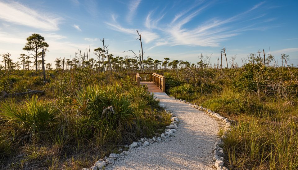
24 mi awayJack C. Watson Nature TrailEasy loop for Key deer and karst in pine rocklandsEasy · 0.8 mi · 45 min
24 mi awayManillo Nature TrailA quick, flat walk to a wetland overlook in rare pine rockland.Easy · 0.3 mi · 15 min
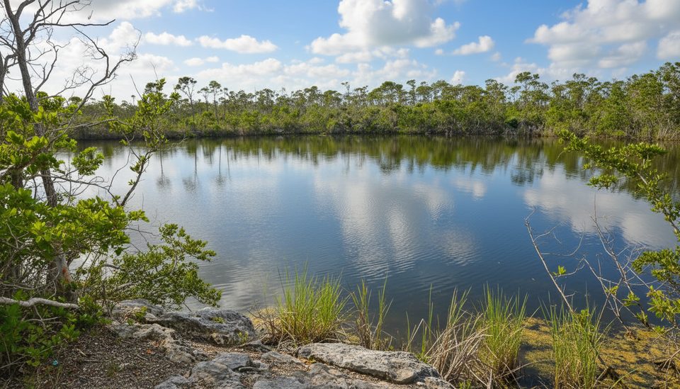
24.3 mi awayBlue Hole Observation TrailShort, wildlife-rich stop with the Keys’ rare freshwater viewsEasy · 0.3 mi · 45 min
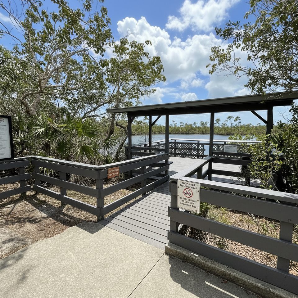
24.3 mi awayBlue Hole Observation PlatformShort walk to a freshwater quarry with gators and Key deerParking · Scenic Viewpoint
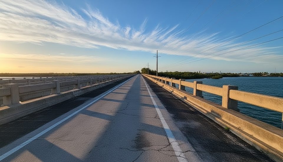
25.3 mi awayBow Channel BridgeOld Keys span turned fishing bridge with wide backcountry viewsPullout · Parking
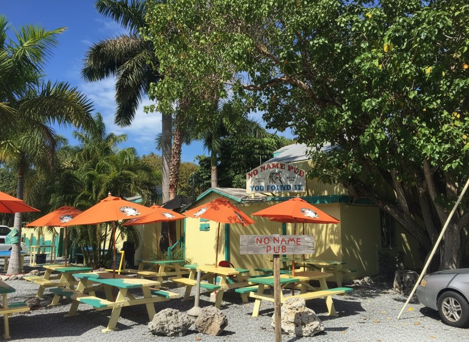
25.5 mi awayNo Name PubIconic Keys pub with pizza and nearby Key deerFood · Restaurant
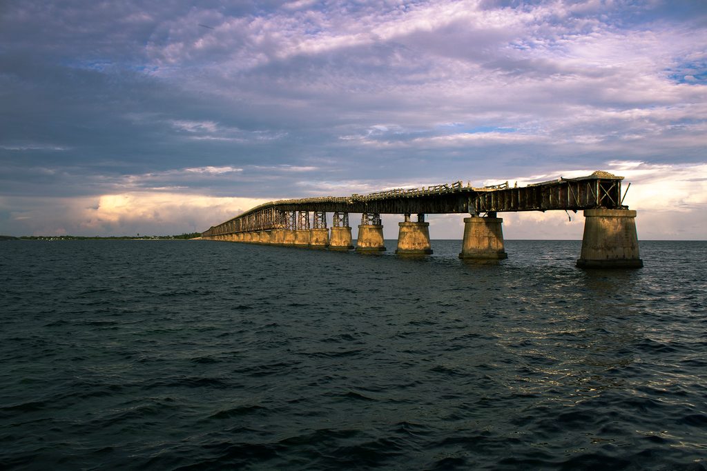
30.1 mi awayOld Bahia Honda Bridge TrailShort climb to sweeping Keys views atop a historic railroad spanEasy · 0.4 mi · 30 min