
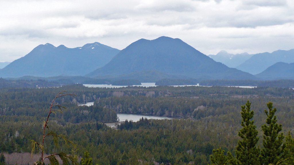
Place · 0 mi away
Moderate
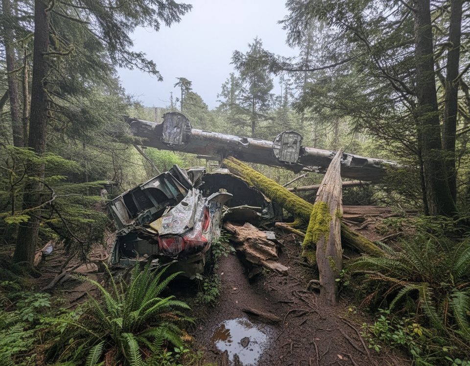
A short, gritty adventure with a big payoff. This out-and-back hike weaves through dense, moss-draped West Coast rainforest to the remains of a WWII-era Canso 11007 bomber. Expect a lot of mud, roots, and a bit of clambering. The route is roughly 3.1 miles total (about 5 km) round trip; some guides list longer distances depending on where you start and whether you include the paved multi-use path along the highway.
After a mellow start along the highway corridor’s paved path, you’ll veer into classic Pacific Rim forest: saturated soil, nurse logs, salal, and towering evergreens. Boardwalks appear in spots but do not spare you from the bog—this trail is notorious for wet feet, even in late summer. About 1 km in, an abandoned WWII-era transmission station materializes from the trees—eerie, graffiti-splashed, and photogenic. Near the end, a small circular pond marks a bomb crater created during the post-crash controlled detonation of the aircraft’s ordnance. The crash site itself is the star: large, surprisingly intact sections of fuselage, wings, and engines scattered in the forest.
This is a year‑round hike. It’s almost always muddy; winter and spring are the messiest, and even summer stays wet. If you want slightly kinder conditions, pick a drier stretch of weather—but plan for mud regardless.
The Canso bomber crashed on February 12, 1945; all 12 crew survived. Today the site offers a tangible, if weathered, link to the park’s WWII history. The boggy ground you slog through reflects the area’s glacial and marine sediments overlain by rainforest soils; the small crater‑pond near the wreck is an unusual human-made feature in an otherwise natural setting.
If you’re into history and don’t mind getting dirty, this is one of the most memorable short hikes near Tofino. If you want pristine views and dry feet, look elsewhere.
Park at the lower Radar Hill parking lot in Pacific Rim National Park Reserve; display a valid park pass and avoid parking along the highway. Start on the paved multi‑use path along Highway 4 for about 800 m before turning into the forest.
Expect deep mud year-round, slick roots and boardwalks, and sharp exposed metal at the crash site—keep kids and dogs close. Fines are possible if you park along the highway instead of the official lot.
Place · 0 mi away
Place · 1.9 mi away
Place · 2.2 mi away
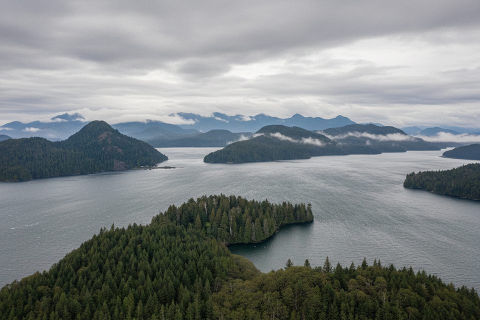
Place · 2.5 mi away
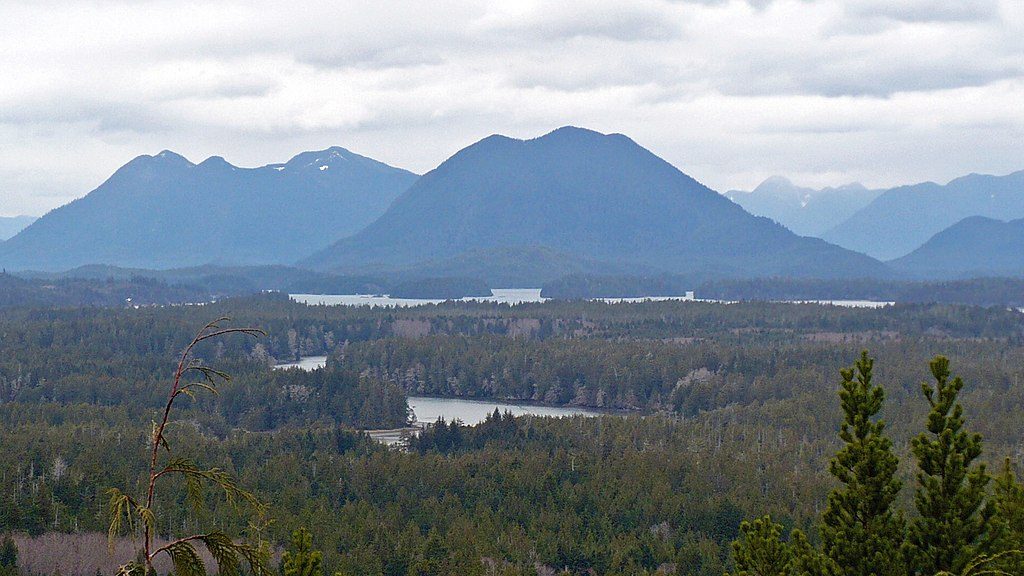
Easy · 0 mi away
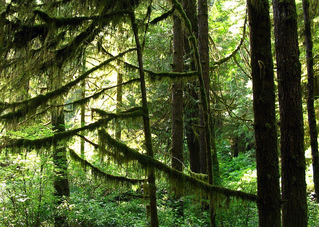
Easy · 7.8 mi away
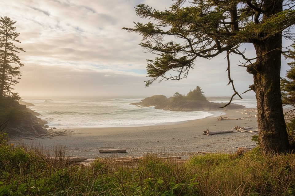
Easy · 9 mi away
Easy · 9 mi away

Parkwolf Tour Guide
