Radar Hill in Pacific Rim National Park Reserve

#6 of 21 sights in Pacific Rim

Sight · Pacific Rim National Park Reserve

Radar Hill

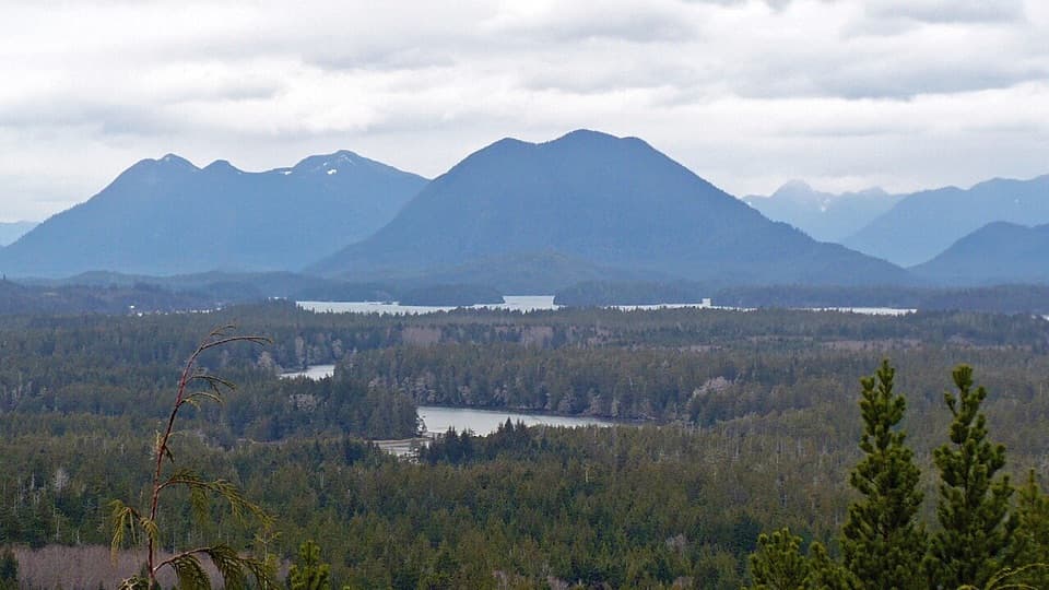
Two coastlines and a Korean War memorial above Highway 4.

Photo: Wikimedia Commons
Type
Sight
Nearest trail
Right here
Audio stories
4 nearby
  • Trailhead
  • Parking
  • Restrooms
  • Scenic viewpoint

Hear the audio tour

Radar Hill

Overview

About Radar Hill

Why stop

  • The north and south outlooks show two very different stretches of coast.

Heads up

  • Low cloud or rain can hide the distant coastal views.

Map

Where it is

Loading the Pacific Rim map
Full map
SightRadar Hill49.08375, -125.84120
Keep this map with you offline in the Parkwolf app

Plan your stop

Before you go

7 active Pacific Rim alerts

  • CautionWolf warning in Long Beach UnitMentions Long Beach Unit, referenced in this guideA wolf warning remains active in the Long Beach Unit; leave pets at home because dogs attract wolves. Check current trail conditions before travelling.Official details
  • CautionLong Beach trails: limited access and boardwalk hazardsMentions Long Beach, referenced in this guideShorepine Bog and Willowbrae trails have limited access, and Combers Beach Trail is rated Caution; use care and follow posted signs.Official details
See all 7 alerts
A park ranger sits on a dash-mounted phone, talking, as Parkwolf’s Tour Guide plays “Army Cutworm Moths: A Grizzly Bear Buffet” on Grand Loop Road below Dunraven Pass in Yellowstone
Parkwolf Tour GuideThe highest, rockiest slopes around here are a summer buffet for grizzly bears.

Pacific Rim Tour Guide

Your drive to Radar Hill, narrated.

Parkwolf is a GPS audio tour guide for Pacific Rim National Park Reserve. As you drive, it chimes in with what’s ahead: hidden gems, upcoming stops, history, geology, and wildlife, right through your car’s speakers.

See the Pacific Rim audio tour

Recorded for this place

Radar Hill
0:00 / 0:34
“You're coming up on Radar Hill, with two outlooks over very different stretches of coast. In clear weather, make time for both: one looks across Clayoquot Sound, the other toward Long Beach.”

Plays as you drive up to Radar Hill in the Parkwolf Pacific Rim Tour Guide.

More stories near here in the app

  • A Slug’s Four Feelers
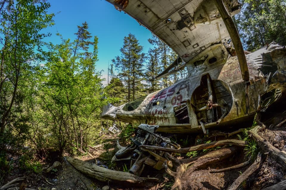
  • The Flying Boat in the Forest
  • A Whale's Mouthful of Mud
  • Grice Bay’s Hidden Meadows
  • 34 audio storiesacross Pacific Rim’s roads, triggered by GPS as you drive
  • Wildlife heatmapsfor Orca, Humpback Whale, Black Bear, and 13 more
  • Works offlinemaps, 19 trails, 52 places, and audio download before you lose signal
  • CarPlay readysimple controls built for the drive
★★★★★
“Fantastic app with many points of information… It’s great to just turn on while you’re driving and it gives you an audio tour of the national Park. We love it!!!!”
JMJamesApp Store review
Download Parkwolf on the App StoreGet Parkwolf on Google Play

4.7 from 8,600+ ratings

Guide

More about Radar Hill

Two coastlines from one hilltopRadar Hill is the Long Beach Unit’s highest viewpoint, a roadside hilltop near the unit’s…

Radar Hill is the Long Beach Unit’s highest viewpoint, a roadside hilltop near the unit’s northern end. On a clear day, one outlook faces north across Clayoquot Sound and another looks south over Long Beach. Keep it on your route for the paired views and the Kapyong memorial; low cloud or rain can hide much of the distant panorama. This is a lookout, not a way down to the beach.

Walk the marked routeRadar Road leaves Highway 4 for the hilltop parking.

Radar Road leaves Highway 4 for the hilltop parking. The marked Radar Hill Trail starts at the upper lot, runs 500 m one way past the memorial to a viewing platform, and is rated moderate. There is also a lower parking area near a lower lookout. A National Park Entry Pass is required, and vehicles must use designated parking; the Park Use Machine that takes credit cards is in the lower lot. An accessible outhouse is available, though steep grades are noted at the viewing platform.

Take time for both outlooksThe northern view looks across Clayoquot Sound; farther around the hill, a second viewpoint…

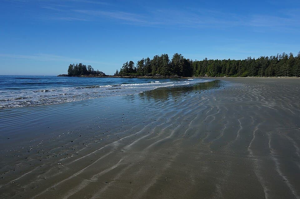
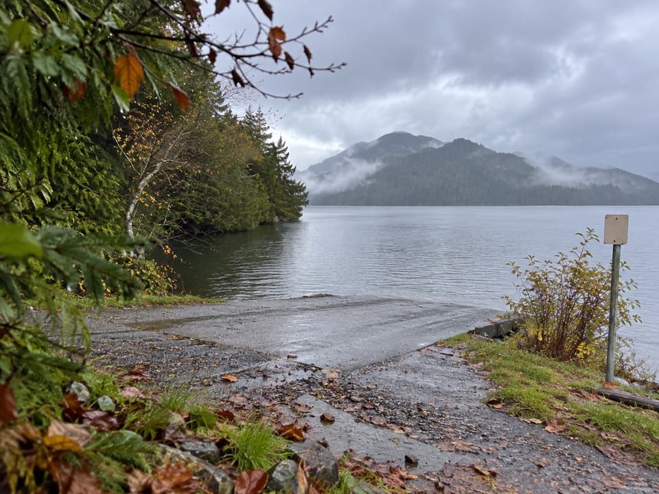
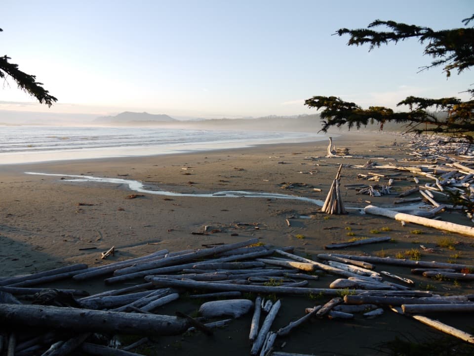
The northern view looks across Clayoquot Sound; farther around the hill, a second viewpoint faces south toward Long Beach. Visit both rather than trying to fit the two directions into one panorama. Forested islands and inlets give the northern outlook its layers, while the southern view opens toward the long beach. If clouds are building, the far ridges and shoreline are the first details you may lose.

The Kapyong memorialA cairn placed here in 1998 commemorates the Battle of Kapyong and recognizes the veterans and…

A cairn placed here in 1998 commemorates the Battle of Kapyong and recognizes the veterans and families connected to it. The battle was fought in Korea from April 22 to 25, 1951. The 2nd Battalion, Princess Patricia’s Canadian Light Infantry, helped prevent a potentially costly defeat; ten Canadians were killed and 23 wounded, and the battalion received the U.S. Presidential Unit Citation. Parks Canada holds a Kapyong anniversary ceremony here each April. The first ceremony in 1998 was the first time Canadian Korean War veterans could wear their Korean War medals on Canadian soil.

Radar Hill also hosted a radar station, but its precise operating period remains uncertain.

Wildlife

Wildlife in Pacific Rim

All Pacific Rim wildlife maps

Sighting maps show where each species has been reported across Pacific Rim. Wildlife moves, so no sighting is guaranteed.

Parkwolf’s Pacific Rim ranking

Top sights in Pacific Rim

All 52 places
  1. 1Long BeachBeach
  2. 2Wickaninnish BeachBeach
  3. 3Tsusiat FallsSight
  4. 4Incinerator RockSight
  5. 5Owen Point Sea CavesSight
  6. 7Combers BeachBeach

Take Parkwolf to Pacific Rim.

The audio tour guide for the drive, plus offline maps, trails, and wildlife heatmaps for when the signal drops.

4.7 from 8,600+ ratings

Download Parkwolf on the App StoreGet Parkwolf on Google Play