
Place · 0 mi away
Easy
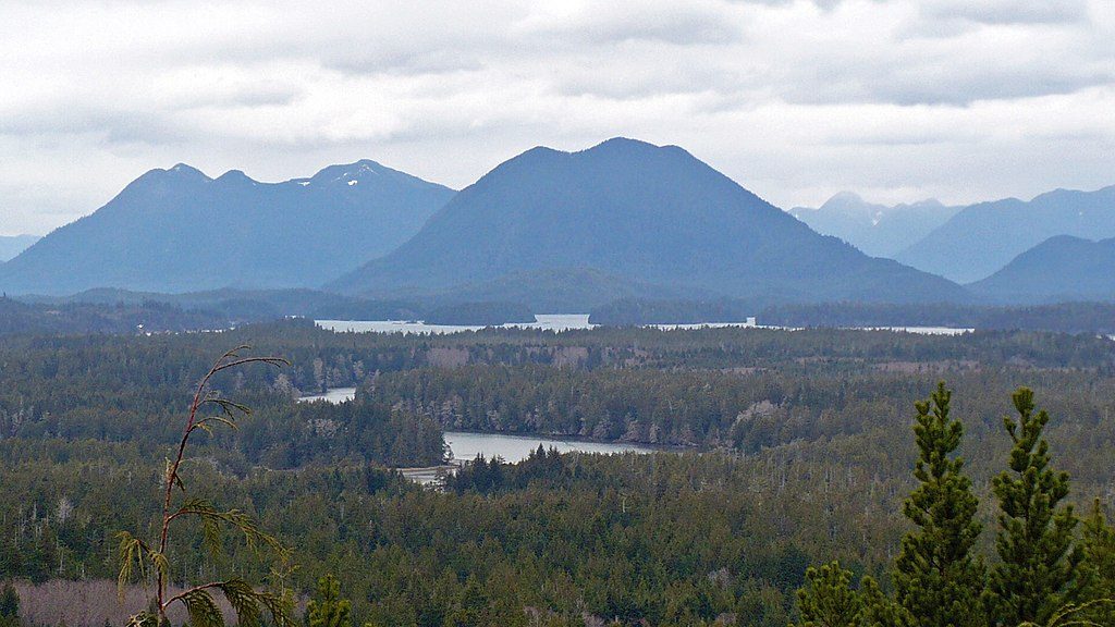
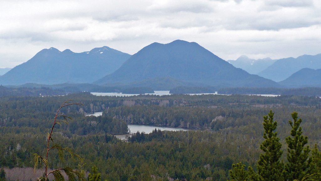
This is the definition of low effort, high reward. From the parking area, it’s roughly 0.2 km (about 0.12 mi) one way on a paved, mostly gentle path to the lookout, with about 15 m of elevation gain. Call it 10–20 minutes round-trip, including gawking at the view. The route is designed to be accessible, with paved and boardwalk sections, though the grade can feel steep for unassisted wheelchair users.
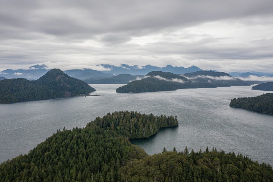
At the top, expect sweeping panoramas of the Pacific Ocean, Clayoquot Sound, Tofino Inlet, and the distant northern mountains. On clear days, it’s one of the park’s best vistas. The approach passes through lush coastal temperate rainforest and tends to be quieter than the park’s marquee beaches and headlands.
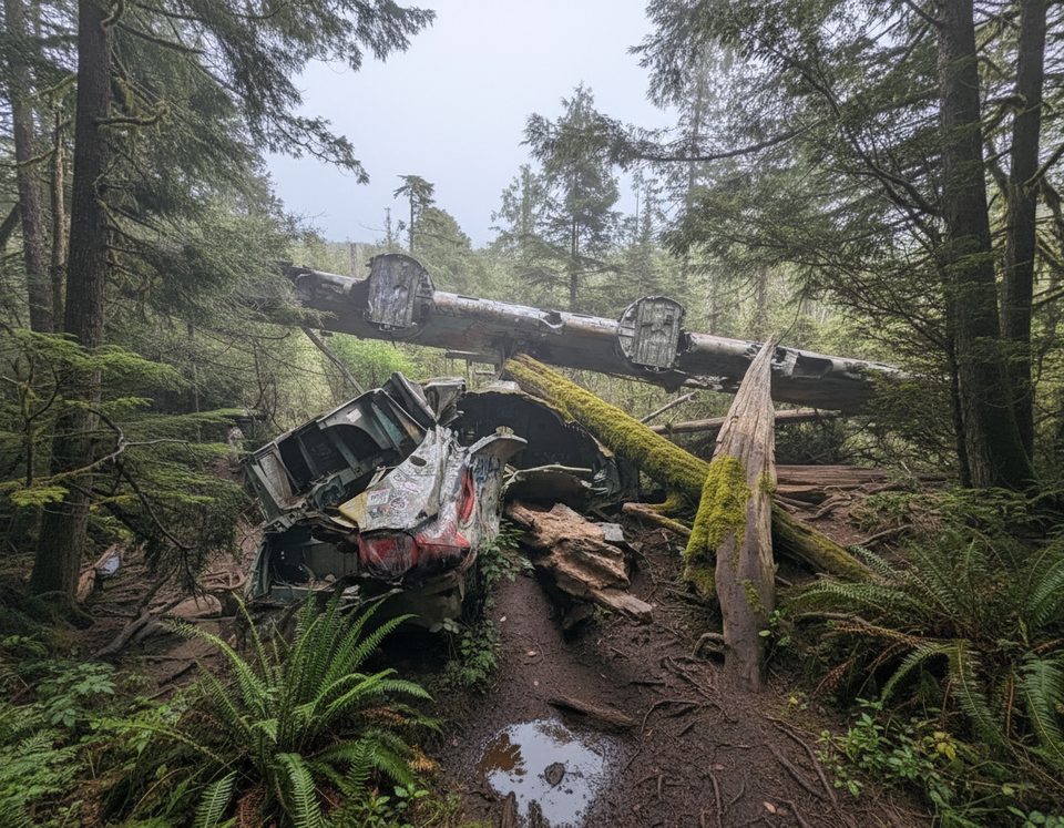
About halfway up you’ll pass the Kap’Yong Memorial, honoring the 2nd Battalion Princess Patricia’s Canadian Light Infantry for their service in the Korean War. Radar Hill also held a World War II radar station; while the structures are gone, interpretive context remains on site. If military history interests you, note that the separate Canso “Bomber” crash site trail sits just south of here—muddy and much longer—and is not part of this short lookout walk.
Surfaces are paved with some boardwalk, and the path is wide. It’s officially accessible, but many wheelchair users will appreciate a push on the uphill. There are two parking areas; the lower lot connects to a short, flatter boardwalk section that works well for strollers and mobility aids. Washrooms are at the parking area. Expect paid parking, and a valid park entry pass is required. Dogs are welcome but must stay leashed.
Yes—if you want a peaceful, easy viewpoint with outsized scenery and a dose of local history. No—if you’re chasing mileage or a workout; this is a viewpoint stroll, not a hike. For a longer trail day nearby, consider the 3.8 km Nuu Chah Nulth Trail along the coast.
It’s a year-round option thanks to the coastal climate. Clear days deliver the biggest payoff, but even fog and mist can make for an atmospheric stop. Weather changes fast here—bring a rain layer and expect wind at the top.
Two parking areas at the end of the Radar Hill access road off Hwy 4; paid parking; washrooms at the lot. The lower lot connects to a short, flatter boardwalk.
Fog and wind can erase views quickly. Uphill grade may require wheelchair assistance. Park entry pass and paid parking are enforced. Don’t confuse this path with the separate, muddy Canso bomber trail.
Place · 0 mi away
Place · 1.9 mi away
Place · 2.2 mi away
Place · 2.5 mi away
Moderate · 0 mi away
Easy · 7.8 mi away
Easy · 9 mi away
Easy · 9 mi away

Parkwolf Tour Guide
