Parking
Park at the Kwisitis Visitor Centre; the trailhead is behind the building. A Parks Canada entry pass is required. The automated Park Use Machine accepts credit cards only.
#4 of 19 trails in Pacific Rim
Pacific Rim National Park Reserve, BC
A short walk to hear waves wash over a pebble beach.
Overview
Map & elevation
Plan your hike

The highest, rockiest slopes around here are a summer buffet for grizzly bears.
Pacific Rim Tour Guide
Parkwolf is a GPS audio tour guide for Pacific Rim National Park Reserve. As you drive, it chimes in with what’s ahead: hidden gems, upcoming stops, history, geology, and wildlife, right through your car’s speakers.
See the Pacific Rim audio tourRecorded for this trailhead
Kwisitis Visitor Centre and South Beach“You're nearing Kwisitis Visitor Centre, above the south end of Wickaninnish Beach. I'd stop for the exhibits as well as the deck: look for the replica longhouse and the displays connecting salmon with the rainforest.”
Plays as you drive up to this trailhead in the Parkwolf Pacific Rim Tour Guide.
More stories near here in the app
“Fantastic app with many points of information… It’s great to just turn on while you’re driving and it gives you an audio tour of the national Park. We love it!!!!”


Trail guide
South Beach Trail is a short out-and-back from behind the Kwisitis Visitor Centre to the pebble shore: 800 m each way, or 1.6 km round trip. Parks Canada rates it moderate; allow about 30–45 minutes for the walk, plus beach time. I’d pick it when you want a real coastal destination without committing to a long hike. The distance is modest, but stairs and the rough beach access make it more than a level stroll.
Start behind the visitor centre and follow the shared Nuu-chah-nulth approach to the marked South Beach turnoff. The route changes between asphalt, gravel and boardwalk. There’s a steep slatted ramp; at the junction, the wooden boardwalk narrows to about 0.8 m, with stairs and handrails on the elevated sections. The way is marked, so the main thing is watching your footing as the path gets rougher near the shore.
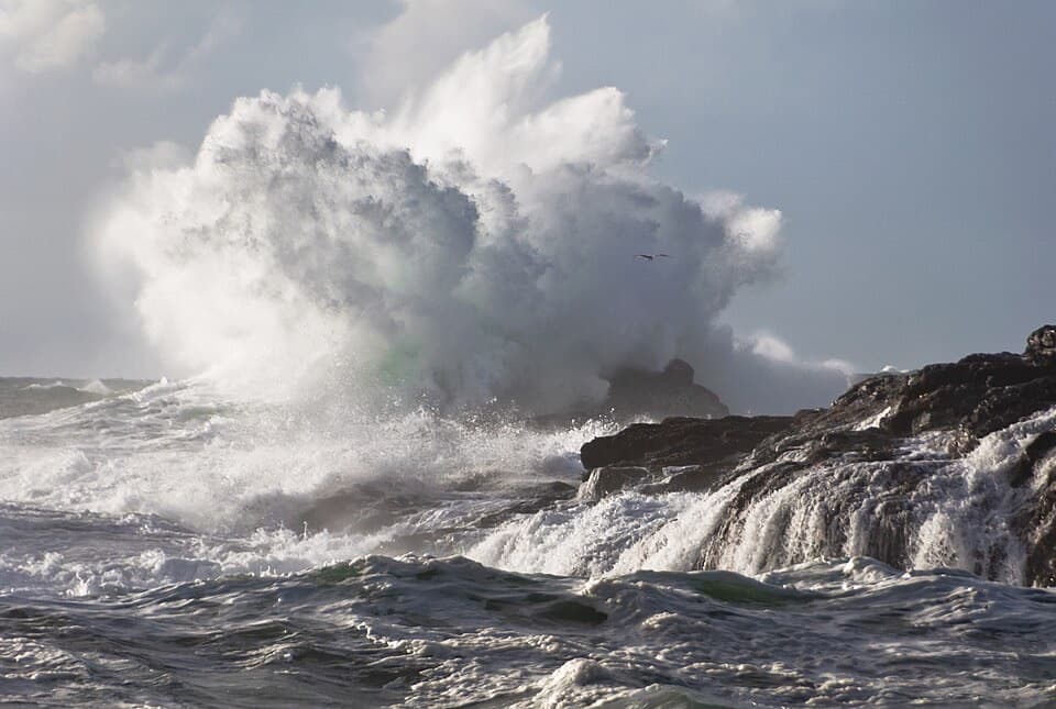
The final beach access can be steep and eroded, with driftwood underfoot. South Beach is pebbly rather than sandy, and in calmer conditions the sound of waves washing over the stones is part of the appeal. Big surf brings large waves and strong currents; Parks Canada advises against water activities here. Keep well back from the water. For a photo, work from firm ground and frame the wave wash against the rounded stones instead of edging toward the surf.
Parks Canada translates Kwisitis as “the other end of the beach,” a reference to the visitor centre at the south end of Wickaninnish Beach. The centre’s exhibits introduce the land, sea, sky and First Nations stories of this coast, including salmon’s role in the rainforest. It’s a worthwhile extra if the centre is open; washrooms are there when it is open, and also at Wickaninnish Day Use Area.
Park at the Kwisitis Visitor Centre; the trailhead is behind the building. A Parks Canada entry pass is required for the park. No food or drinking-water service was found at the start, so plan ahead.
Wildlife
 11 sightingsOrcaMost seen around 10 AMSighting map
 16 sightingsHumpback WhaleMost seen around 5 PMSighting map
 174 sightingsBlack BearMost seen around 8 PMSighting map
 16 sightingsSea OtterMost seen around 6 PMSighting map
 134 sightingsSteller Sea LionMost seen around 6 PMSighting map
 18 sightingsCalifornia Sea LionMost seen around noonSighting map
Sighting maps show where each species has been reported across Pacific Rim. Wildlife moves, so no sighting is guaranteed.
Keep exploring
 EasyShorepine Bog Trail0.8 km · 15 min · 1.4 km awayA short boardwalk loop through stunted shore pines and open bog.
 EasyFlorencia Bay North Beach Access0.6 km · 30 min · 1.8 km awayA short trail drops to sand, surf, and a forested islet.
 ModerateRainforest Trail B1 km · 30 min · 3.2 km awayA short boardwalk loop with more stairs than its distance suggests.
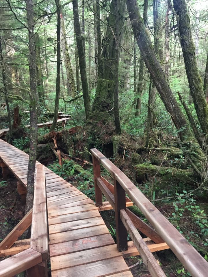 ModerateRainforest Trail A1 km · 30 min · 3.4 km awayBoardwalks thread giant cedars and stair-stepped ravines.
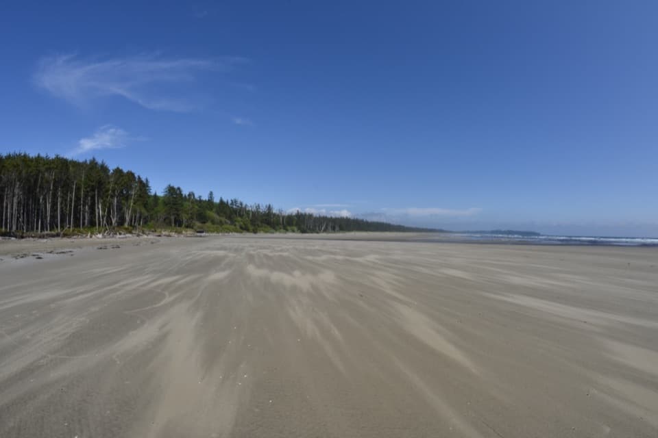 ModerateCombers Beach Trail1 km · 45 min · 4.1 km awayA short forest descent to a broad Pacific beach.
 EasyGreen Point South Trail1 km · 30 min · 5.7 km awayA brief forest descent opens onto Combers Beach.
 ModerateHalfmoon Bay Trail3.6 km · 1.8 hr · 7.2 km awayA small sheltered bay waits beyond a stair-heavy forest walk.
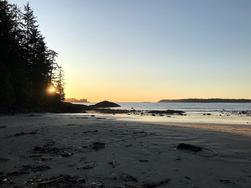 ModerateWillowbrae Trail2.8 km · 1.5 hr · 7.2 km awayA historic forest walk ending in steep stairs to Florencia Bay.
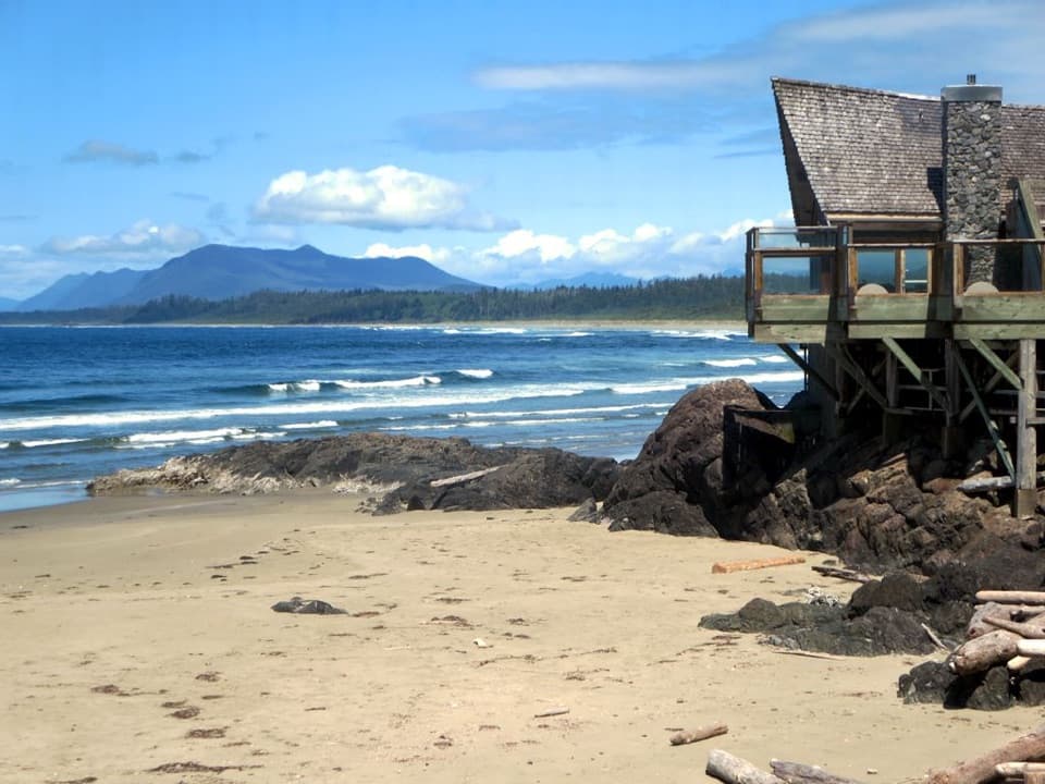 Visitor center · At the trailheadKwisitis Visitor CentreExhibits and a Pacific view above Wickaninnish Beach.Beach · 0.8 km awaySouth BeachA short, hilly walk ends where the waves put on a show.
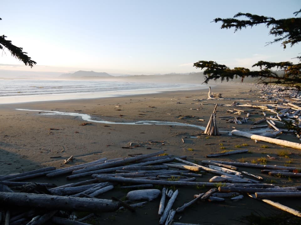 Beach · 1.5 km awayWickaninnish BeachDriftwood, wide sand and Pacific surf make this a proper beach stop.Beach · 3.7 km awayFlorencia BayA five-kilometre Pacific beach, best explored at low tide.
 Beach · 4.9 km awayCombers BeachA broad, quieter beach after a short, steep forest walk.Beach · 5.9 km awayHalfmoon Bay BeachA quieter cove reached by a stair-heavy forest walk.
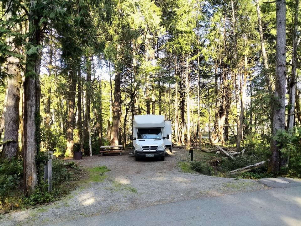 Campground · 6 km awayGreen Point CampgroundA forested campground with Long Beach just down the bluff.
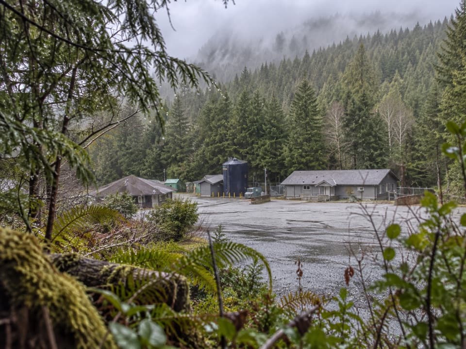 Sight · 6.3 km awayNational Park Reserve Administration OfficeA useful roadside errand for visitors who need park services.
Parkwolf’s Pacific Rim ranking

The audio tour guide for the drive, plus offline maps, trails, and wildlife heatmaps for when the signal drops.

