
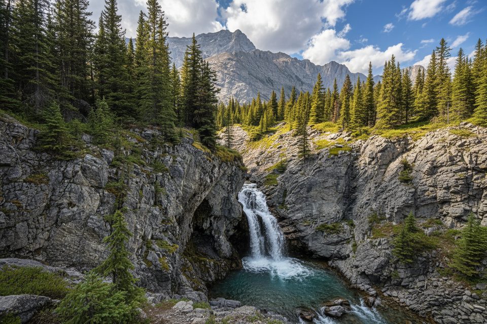
Place · 0 mi away
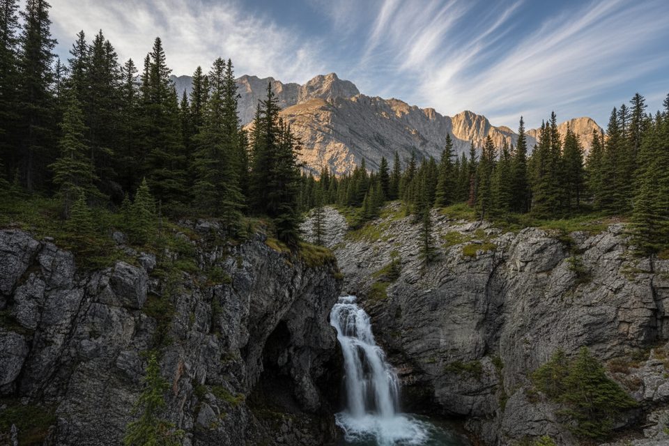
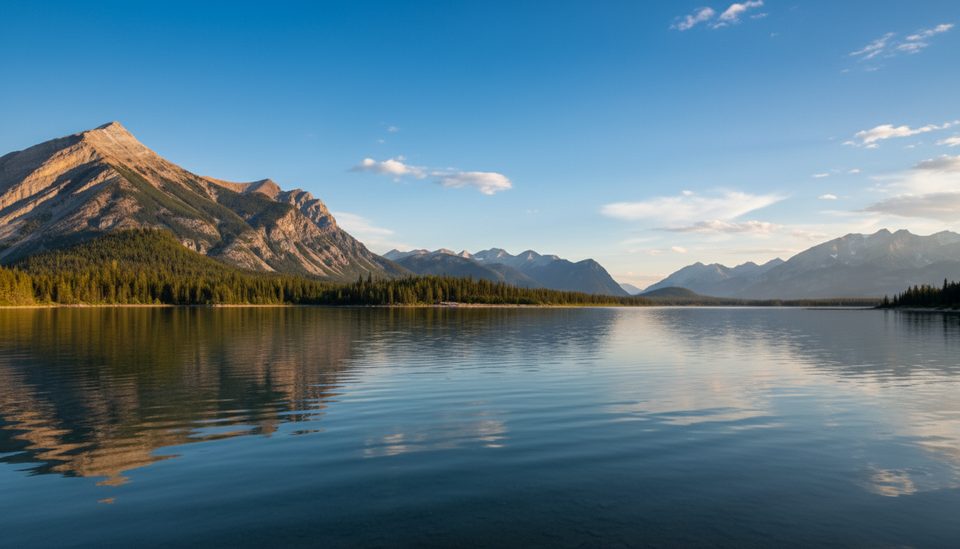
Rae Glacier sits in a south-facing cirque below Mount Rae and feeds the headwaters of the Elbow River—one of the sources of Calgary’s drinking water. It’s a rewarding half-day objective: think big walls, a broad valley, and a glacier-capped basin that feels surprisingly close once you’re in it.
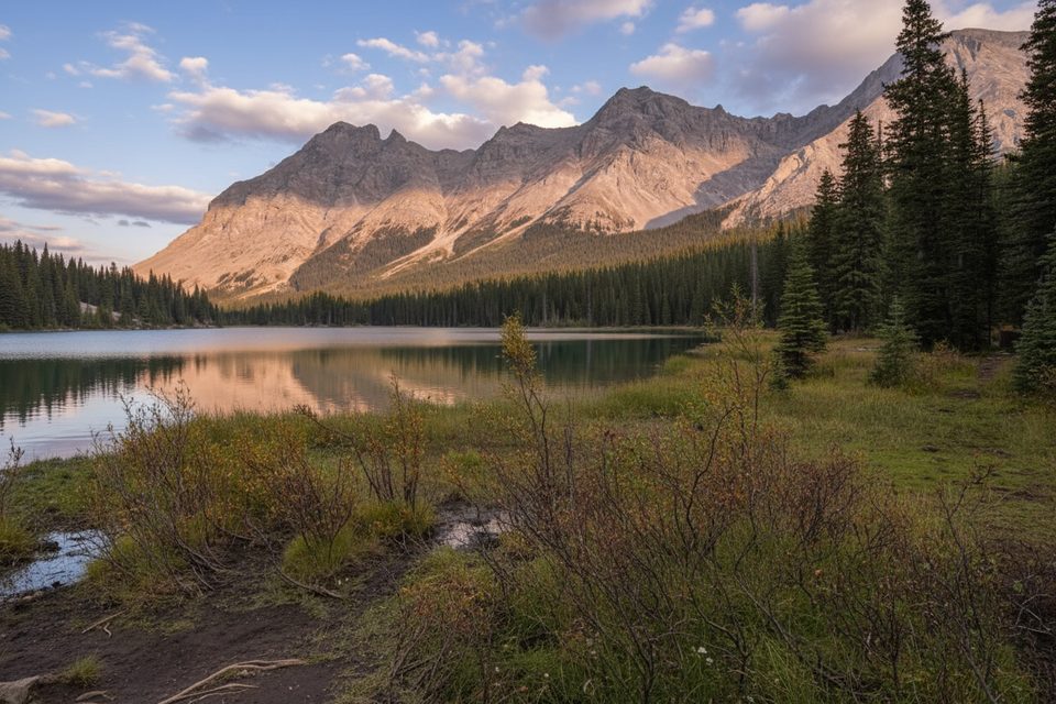
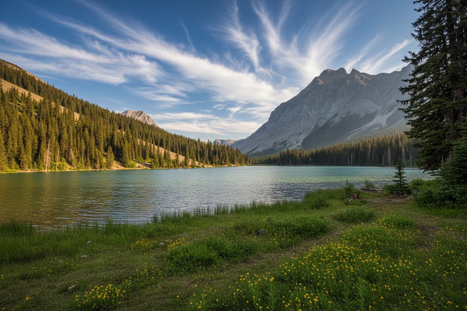
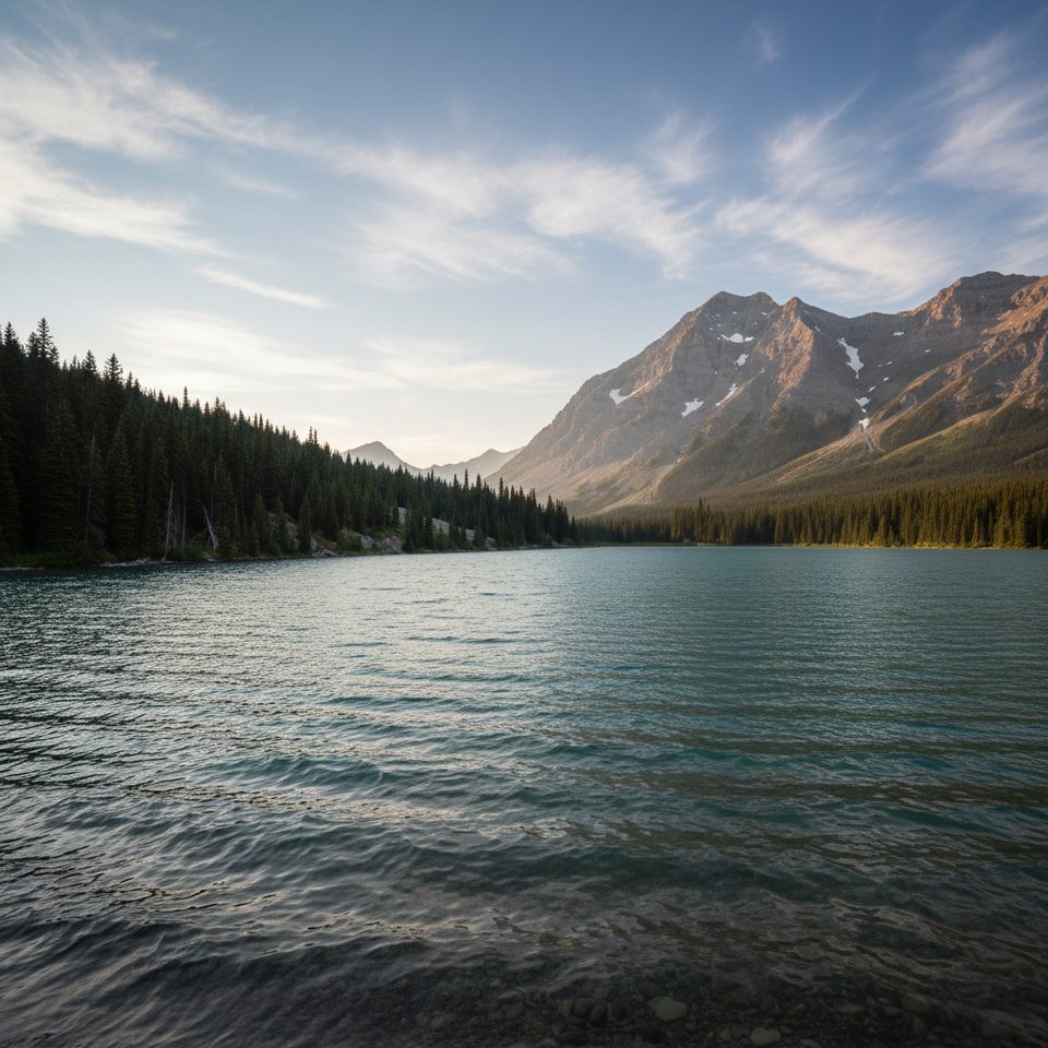
From Highway 40, climb about 1.5–1.6 km to Elbow Lake (roughly 150 m of gain). From the campground area, take the path around the south shore and pick up the creek in the valley. Beyond here the route is undesignated and unmaintained: you’re largely following the creekbed and rubbly fans toward the cirque. Expect loose rock and short steeper bits for the final stretch into the basin. Total day comes out to roughly 8–10 km round trip with about 450–500 m of elevation gain.
Snow lingers early and late in the season, and the approach crosses known avalanche terrain between the highway and Elbow Lake. In winter and spring, only go if you have avalanche training, beacon/shovel/probe, and a favorable forecast. Higher up, expect loose scree and occasional snow patches near the basin most of the year. Set a conservative turnaround time—daylight is short in winter.
This is a remote, unserviced outing: no vault toilets, no formal parking, and typically no cell coverage at the access. On busy days, roadside shoulders fill quickly. Use restrooms elsewhere in the park before starting and plan to be self‑sufficient.
There are no official hours (effectively open 24/7), but this route is most enjoyable with an early start. Weekends see the heaviest traffic, and reports note the area filling by around 10:00 AM—arrive earlier to secure space and quieter trail time. In poor conditions, a great fallback is to make Elbow Lake your turnaround and save the glacier basin for a safer day.
You’re in bear country—be “Bear Smart,” keep pets leashed, and carry bear spray. Give horses and other users plenty of space, and stick to durable surfaces in the rocky creekbed to protect the fragile alpine meadows.
Place · 0 mi away
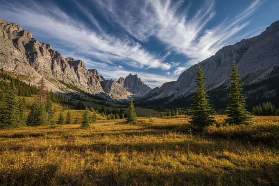
Place · 0.9 mi away
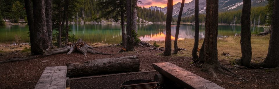
Place · 1 mi away
Place · 1.5 mi away
Moderate · 0 mi away
Moderate · 0 mi away
Challenging · 0 mi away
Easy · 0.9 mi away

Parkwolf Tour Guide
