
Place · 0 mi away
Challenging
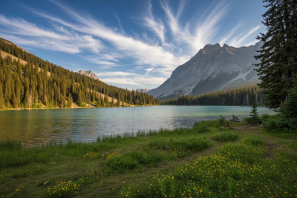
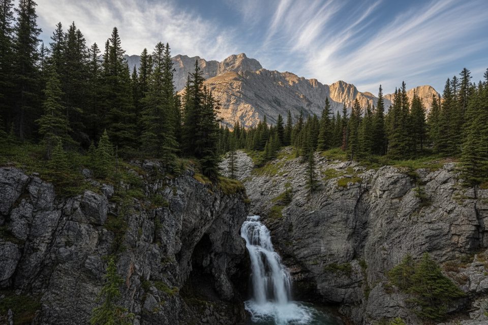
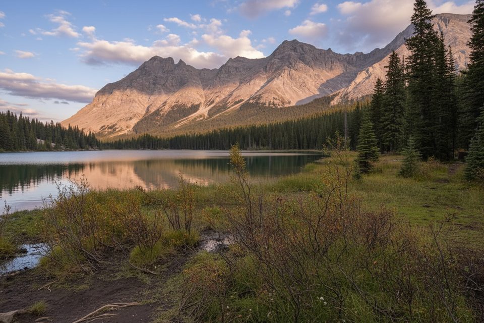
Rae Lake is a quiet, blue-green tarn tucked beneath the outliers of Mount Rae—a true hidden gem beyond popular Elbow Lake. Expect a valley ramble, a faint side trail, and a short rise to a larch‑studded alpine basin. The standard out‑and‑back comes in around 10.9 miles total (17.5 km), typically taking 5–7 hours depending on variants and side trips. It’s not technical, but the spur to the lake is unmaintained and occasionally overgrown, so confidence with light route‑finding pays off.
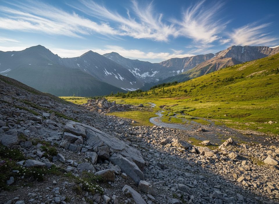
Start from Elbow Pass Day‑Use on Highway 40 and climb the steep old road about 1.4 km (+120 m) to Elbow Lake. Skirt the left (counter‑clockwise) shore and cross the Elbow River at the far end, then follow the broad, gravelly valley upstream. Roughly 5.3 km from the parking lot, watch for an obvious but unsigned, cairned turn‑off to the right toward Rae Lake. The spur follows a creek through patchy forest, then climbs onto a sparsely treed rise and into a higher, boulder‑dotted valley. A final weave over a bald ridge reveals Rae Lake below—ringed by meadows and backed by big peaks. The Elbow Lake approach sees crowds; beyond the junction, you’ll likely have solitude.
Plan for a mid‑June to early‑fall window for minimal snow, with prime conditions July–October. If you can time it to late September or early October, the larch show here is fantastic. Outside that window, expect lingering snow and route‑finding challenges. Weekends and holidays pack Elbow Lake; go early to beat parking and enjoy a quieter valley.
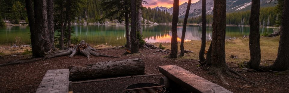
The trail begins in Peter Lougheed Provincial Park and heads toward Rae Lake, which lies in adjacent Elbow‑Sheep Wildland Provincial Park. Random camping is permitted at Rae Lake; there’s an unofficial spot near the outlet meadows—practice Leave No Trace. If you prefer designated sites, Elbow Lake Backcountry Campground (about 1.3–1.4 km from the trailhead) and Tombstone Backcountry Campground require reservations. Bikes are allowed up the Elbow Lake approach, and some hikers pedal the valley to the cairned junction to shorten the day—lock bikes before continuing on foot. Watch for bikes and occasional horses on the Elbow Lake trail (it’s the park’s only equestrian‑permitted trail). Carry an offline map; the Rae Lake spur is unsigned and can be brushy with intermittent cairns/flagging. A side trip to Rae Glacier branches from the Elbow Lake area, but it’s a different unofficial route.
Highway 40 to Elbow Pass Day‑Use closes to vehicle traffic each winter (generally December 1–June 14). On December 2, 2025, that means you cannot drive to the usual trailhead. Early‑winter hazards in the area include thin snow bases, downed trees, and avalanche terrain; dogs are not permitted on groomed ski trails. Year‑round, this is active bear country—travel in a group and carry bear spray. A Kananaskis Conservation Pass is required to park anywhere in Kananaskis/Bow Valley. Parking at Elbow Pass Day‑Use can overflow on busy days—arrive early.
Elbow Pass Day‑Use (Elbow Lake trailhead) on Highway 40; arrive early—lot can overflow. A Kananaskis Conservation Pass is required. Note the seasonal road closure to this trailhead each winter.
The Rae Lake spur is unofficial and can be faint, brushy, and unsigned; carry an offline map and be prepared for light route‑finding. Seasonal Highway 40 closure (Dec 1–Jun 14) restricts vehicle access. Expect early‑season snow, potential avalanche hazards, and active bear country.
Place · 0 mi away
Place · 0 mi away
Place · 0.9 mi away
Place · 1 mi away
Moderate · 0 mi away
Moderate · 0 mi away
Easy · 0.9 mi away
Moderate · 2.4 mi away

Parkwolf Tour Guide
