
Place · 0 mi away
Moderate
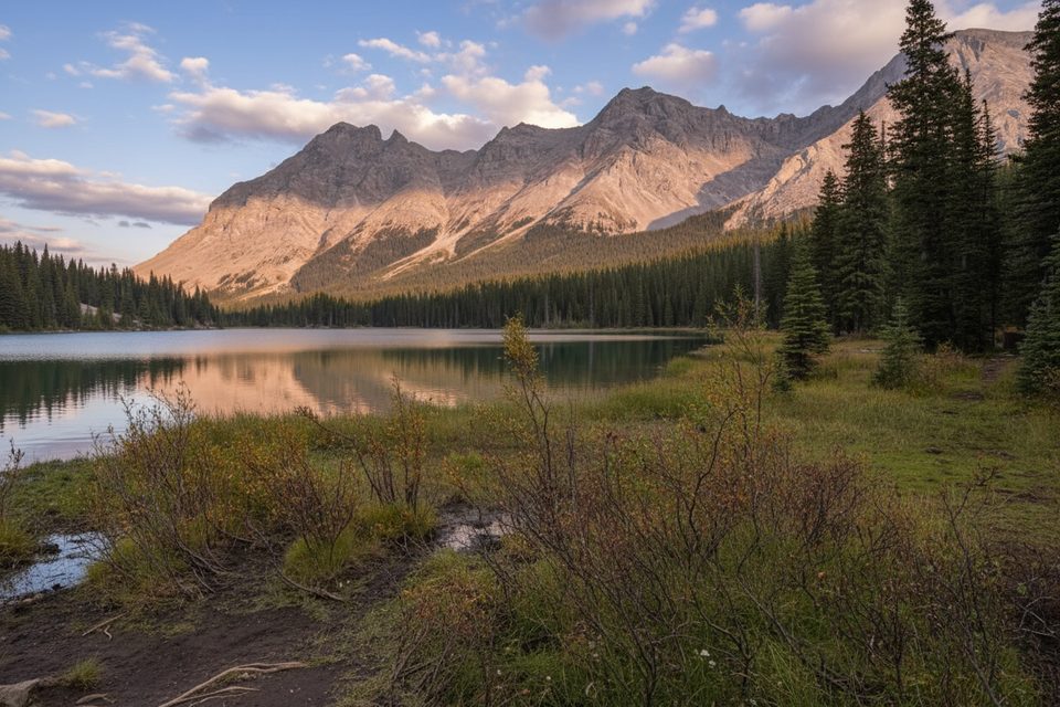
One of the most approachable glacier outings in the Canadian Rockies, this route pairs a quick climb to Elbow Lake with a rocky creekbed wander into the Rae Glacier cirque. Expect a moderately strenuous, total out‑and‑back of about 5.4 miles with roughly 1,750 feet (≈533 m) of gain. The payoff is big: a close look at an active, retreating glacier framed by stark limestone walls and moraine‑rimmed tarns.
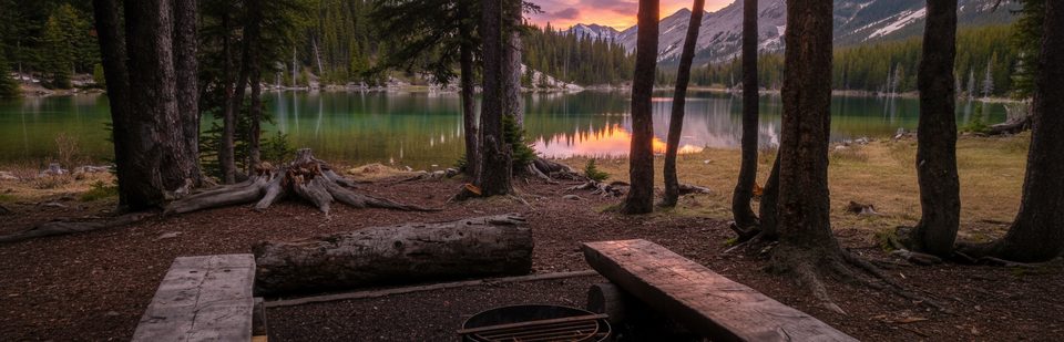
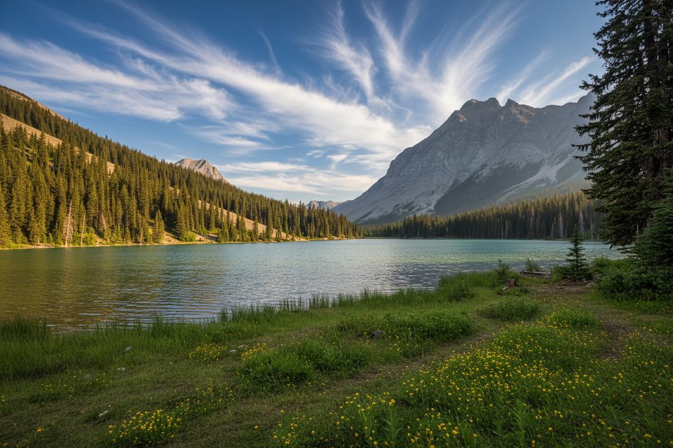
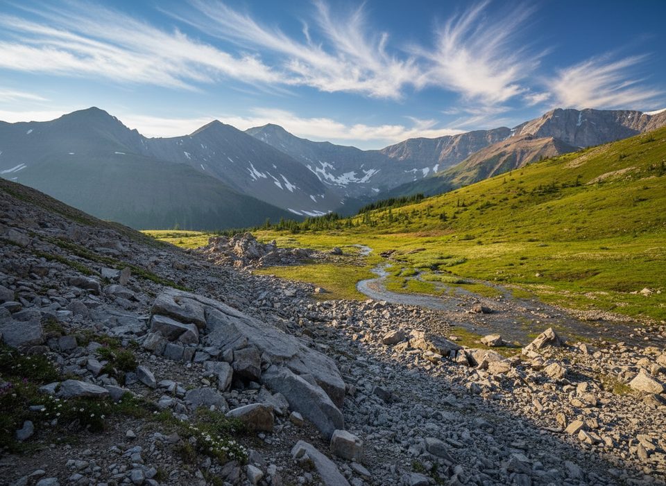
From the Elbow Lake trailhead on Highway 40, a well‑graded path climbs about 1.1 miles/1.75 km to Elbow Lake (≈150 m gain). Pass through the backcountry campground and follow the south shore. At the far end, pick up the rocky outwash of the glacier’s creek. The route here is informal and sometimes faint—expect boulders, loose gravel, and short ribbed sections through sparse trees. Keep trending up‑valley along the creek for roughly 2 more miles to the cirque where glacier remnants, ponds, and lateral moraines are obvious.
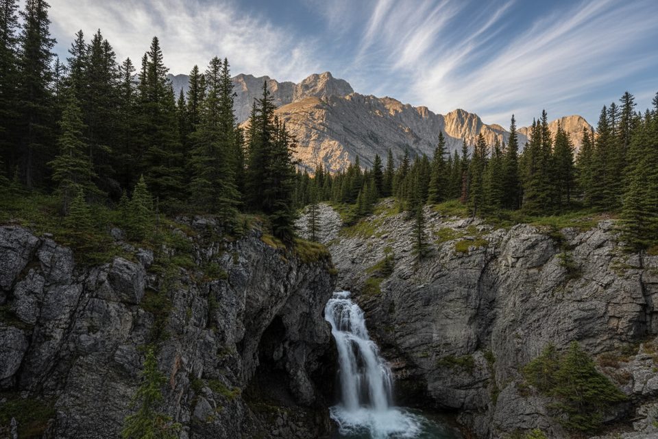
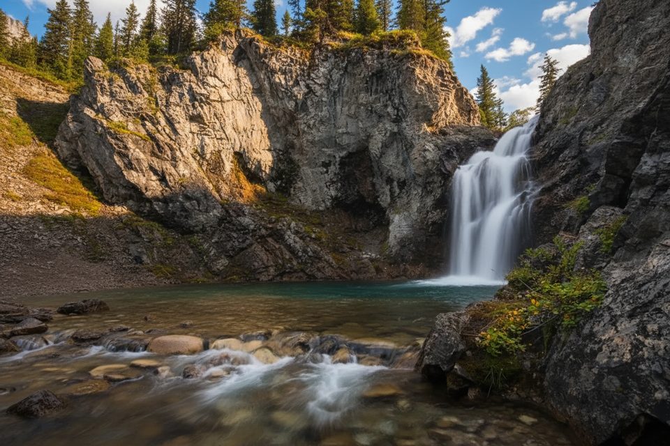
Rae Glacier advanced during the Little Ice Age, peaked in the mid‑1800s, and has been shrinking since. Ice thickness can reach tens of meters, and crevasses and a bergschrund persist higher on the ice. Despite common lore, this glacier only modestly feeds the Elbow River; much of the headwaters come from nearby springs and a nevé‑fed waterfall that supply Elbow Lake. Closer to the trailhead, watch for shifting creek channels, alluvial fans, and classic moraine ridges that tell the glacier’s story.
The lake approach is busy and family‑friendly; beyond the campground the travel is rougher and route‑finding matters. Parking can fill by mid‑morning on fair‑weather weekends. Best window: July through October, when snow has melted off the upper creekbed and the seasonal road is open. Late summer brings the safest footing and the clearest look at the ice. In winter and spring, avalanche hazard is a serious concern and the highway south of Highwood Pass is closed to vehicles (typically December 1–June 14), turning this into a long, committing trip.
Do not step onto the glacier or the undercut ice caves—crevasses, bergschrunds, thin snow bridges, and rockfall are real hazards even when surfaces look benign. A known avalanche path crosses between the parking area and Elbow Lake; treat it seriously in snow season. The upper route is unofficial and not maintained; expect loose rock and shifting creekbed travel. In shoulder seasons, traction aids help on early‑morning ice.
Trailhead parking is at Elbow Pass Day Use on Highway 40. A Kananaskis Conservation Pass is required to park when the road is open. Dogs are allowed but must be leashed. Start early to beat crowds at the lake, and bring poles for the rocky upper valley. If you’re camping, Elbow Lake Backcountry Campground sits just beyond the first climb and makes a convenient base for exploring the cirque when conditions are favorable.
Elbow Pass Day Use on Highway 40; arrive early as the lot can fill by late morning. A Kananaskis Conservation Pass is required when the road is open; Highway 40 south of Highwood Pass is closed to vehicles roughly Dec 1–Jun 14.
Do not go onto the glacier or into ice caves; crevasses and bergschrunds exist. The upper route is unmaintained with loose rock. A known avalanche path crosses the approach, and the area sees winter/shoulder‑season avalanche hazard. Seasonal Highway 40 closure limits vehicle access Dec 1–Jun 14.
Place · 0 mi away
Place · 0 mi away
Place · 0.9 mi away
Place · 1 mi away
Moderate · 0 mi away
Challenging · 0 mi away
Easy · 0.9 mi away
Moderate · 2.4 mi away

Parkwolf Tour Guide
