
Place · 0 mi away
Moderate
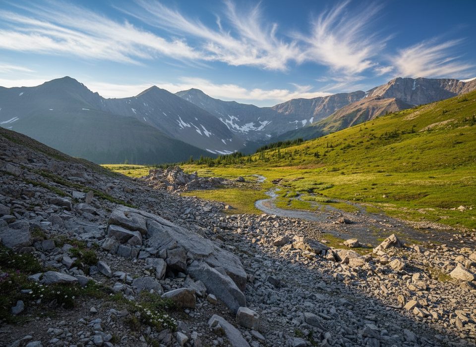
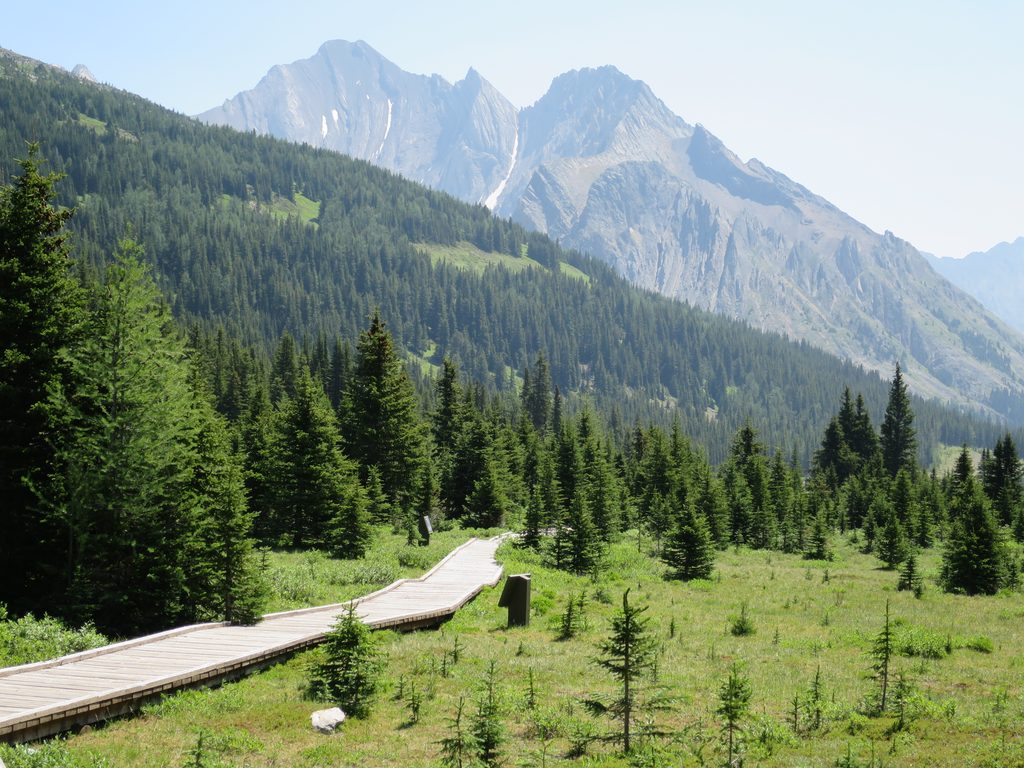
This is the classic quick-hit alpine walk in Kananaskis: short, punchy, and wildly scenic. From Highwood Pass you climb fast through subalpine forest to a broad, fragile meadow tucked beneath towering walls. Expect a few roots and loose bits on the way up, then easy strolling once you break into the cirque.
Start at the Highwood Meadows Day Use Area, then cross Highway 40 to the signed trail. After a steep, forested haul, the path pops out into the alpine where it forms a loop—most hikers go clockwise for gentler grades and better sightlines. The loop crosses a small creek with cascades and wanders through stunted trees and rocky benches before rejoining the descent. Total distance is about 4.5 km (2.8 miles) with roughly 210 m of gain; plan on 1.5–2 hours at a relaxed pace.
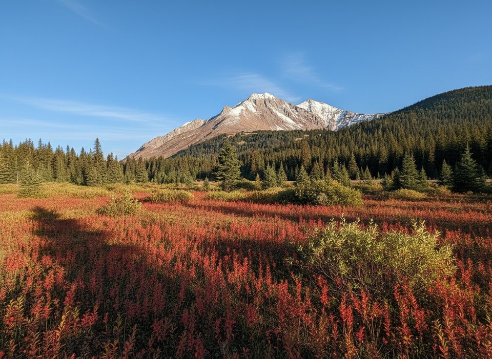
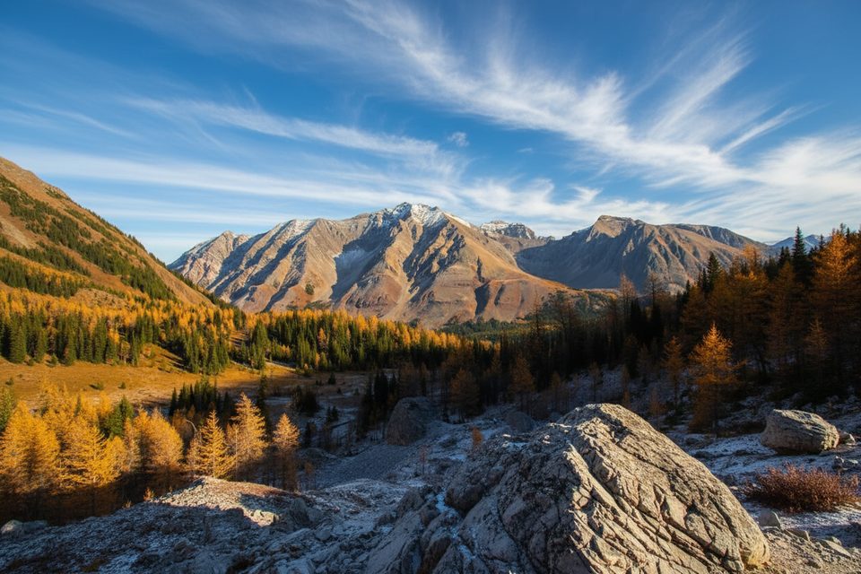
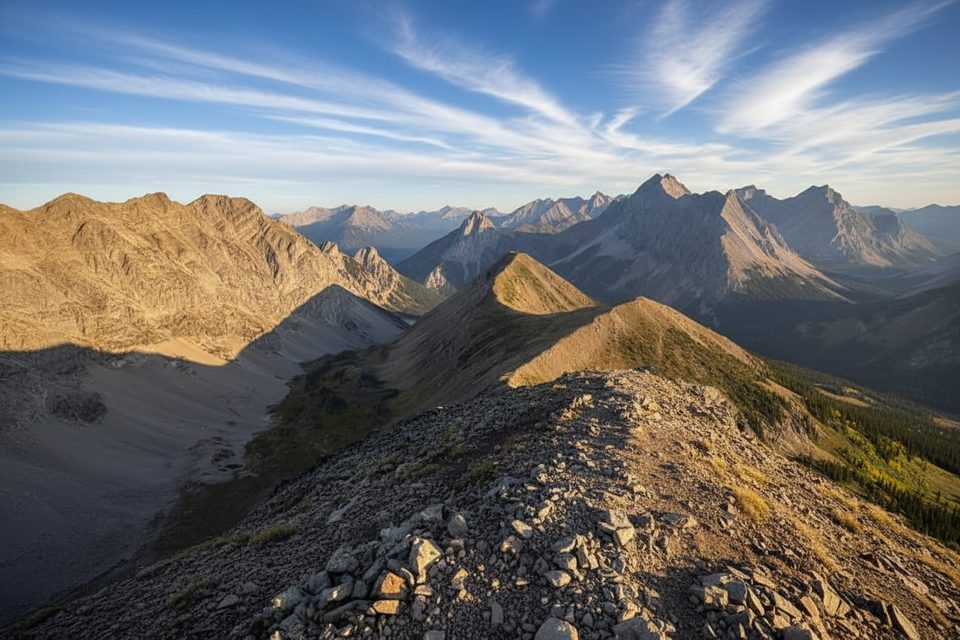
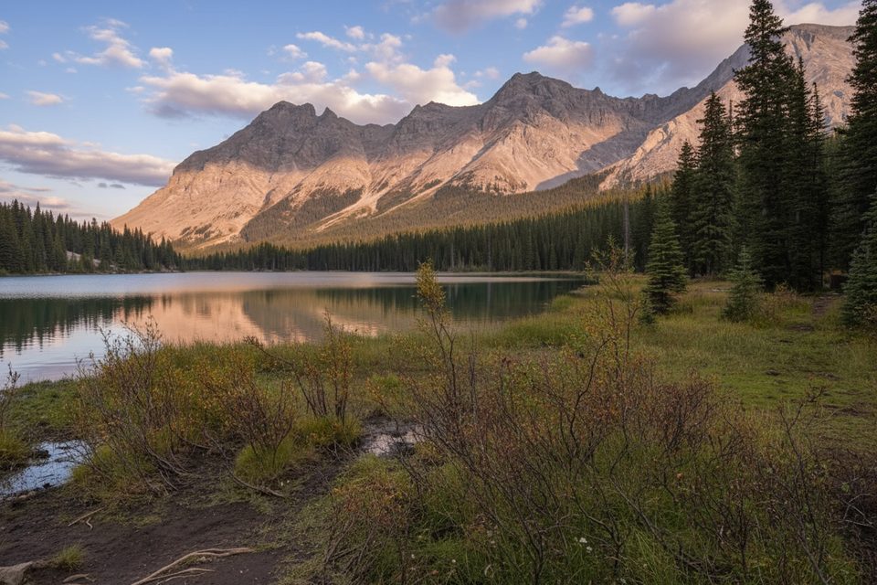
Above treeline the views spread to Mount Rae, Mount Arethusa, Mount Tyrwhitt, and Pocaterra Ridge. In July and August, wildflowers dot the meadow; by late September, the larches turn golden and the whole basin glows. Keep an eye out for tiny fossils in rock slabs, small streamlets, and hardy alpine plants that make this place feel high and wild.
Aim for July through September. Early summer brings flowers and lingering snow patches; mid to late September is prime for larches (and crowds). Highway 40 is closed to vehicles from December 1 to June 14 each year, so there’s no driving access during that window. Shoulder seasons can be icy—bring traction if there’s any hint of freeze.
This hike is popular and the parking lot fills quickly on fine summer and larch-season weekends. Go early or late for easier parking and softer light. There are pit toilets at the trailhead, but cell service is spotty. A Kananaskis Conservation Pass is required to park.
You’re in bear country—carry spray and make noise. The meadow is delicate; stay on the signed path to keep it alive for the next storm of hikers. In winter conditions the basin can have avalanche hazard; this is not a casual snow day stroll without proper skills. Weather flips fast at Highwood Pass, so layer up and pack essentials.
If you love this vibe but want a similar feel with slightly different angles, try Arethusa Cirque next door. For a bigger day and bigger lungs, Pocaterra Ridge delivers more vertical and bigger views.
Park at Highwood Meadows Day Use Area at Highwood Pass; cross Highway 40 to the signed start. Pit toilets and a picnic table at the lot. A Kananaskis Conservation Pass is required and spaces fill early on fall weekends.
Highway 40 closed to vehicles Dec 1–Jun 14; alpine meadow is fragile—stay on trail. Expect steep, loose sections, limited cell service, and avalanche hazard and ice/snow in winter conditions.
Place · 0 mi away
Place · 0 mi away
Place · 0.2 mi away
Place · 0.3 mi away
Easy · 0 mi away
Easy · 0 mi away
Challenging · 0 mi away
Moderate · 2.4 mi away

Parkwolf Tour Guide
