
Place · 0 mi away
Moderate
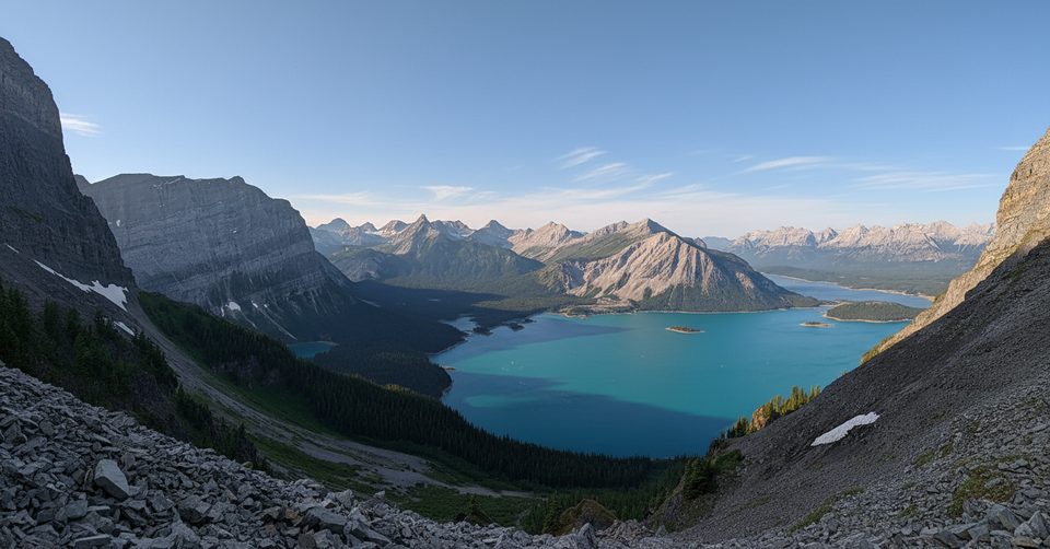
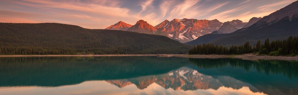
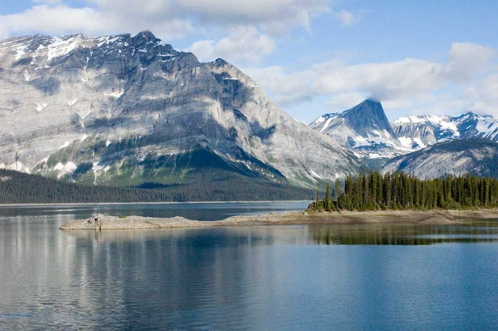
Rawson Lake is a classic Kananaskis payoff: a forested climb that pops you into a glacial cirque beneath Mount Sarrail. The standard route is about 7.8 km total (out-and-back) with roughly 320 m of elevation gain—moderate, but steady. Expect a popular path year-round and a big reveal at the lakeshore.
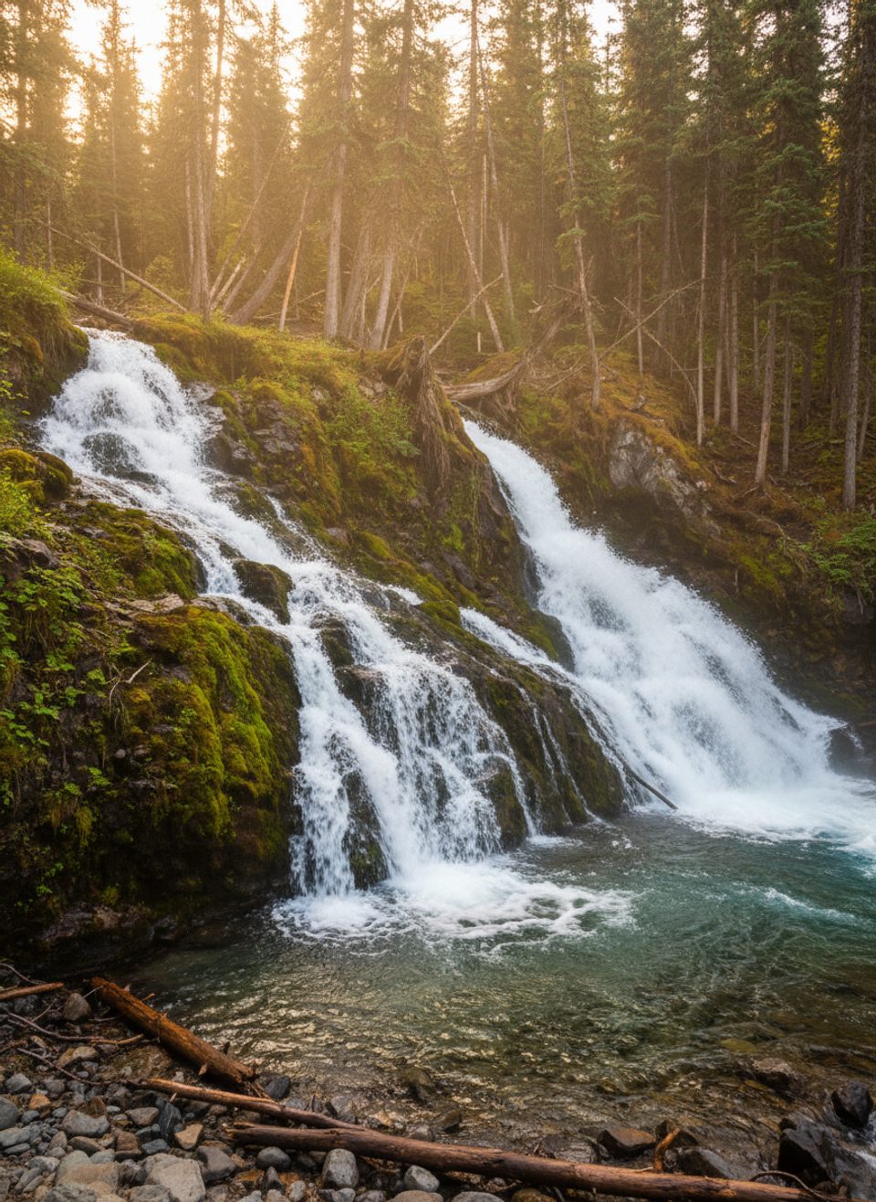
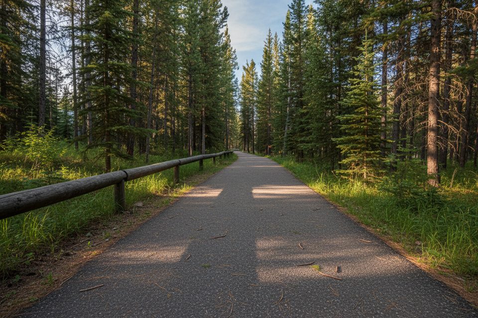
Start from the Upper Kananaskis Lake Day Use Area and follow the Upper Lake Trail. After roughly 1.1 km, cross the wooden bridge over Sarrail Creek, pass Sarrail Falls, and take the signed left toward Rawson Lake. From here, a 2.7 km grind through dense subalpine forest delivers you to the lake’s shore. The cirque is all drama—limestone and dolostone cliffs framing emerald water in a bowl carved by ice. Official stats peg this at 3.9 km one way with about 320 m gain; many trackers read slightly shorter/longer because they include extra approach from the parking area.
For dry trails and easy travel, May to October is your window. If you like snow travel, January to mid-March often brings the most reliable packed conditions. Weekends with good weather can be busy—start early if you want a quieter lakeshore.
This is a year-round trail, but expect snow and ice in shoulder and winter seasons. Microspikes are strongly recommended, and snowshoes are useful after fresh storms. The main trail to the lake is generally lower risk, but terrain beyond the lake—especially toward Sarrail Ridge—is avalanche-prone in winter. The lake often freezes; if you consider walking on it, treat ice and overhead slopes with caution and turn around if conditions are suspect.
On dry, snow-free ground, strong hikers can continue beyond the lake to Sarrail Ridge for massive views over Upper and Lower Kananaskis Lakes. It’s steep and more serious—save it for stable summer conditions. Skip this extension in winter due to avalanche hazard.
You’re in active bear and moose country—carry bear spray, keep dogs leashed, and make noise. The lake sits in a classic glacial cirque cut into Paleozoic carbonate rock. Fishing for cutthroat trout is popular—check current regulations. A Kananaskis Conservation Pass is required for parking, and group size is capped at 15. Facilities are at the day-use area; cell service can be spotty.
If you want a high-reward lake with moderate effort, yes—Rawson is popular for good reason. The trade-offs: a viewless forest slog until the very end and winter hazards if you push past the lake. Start early, bring traction in cool seasons, and you’ll have a great day.
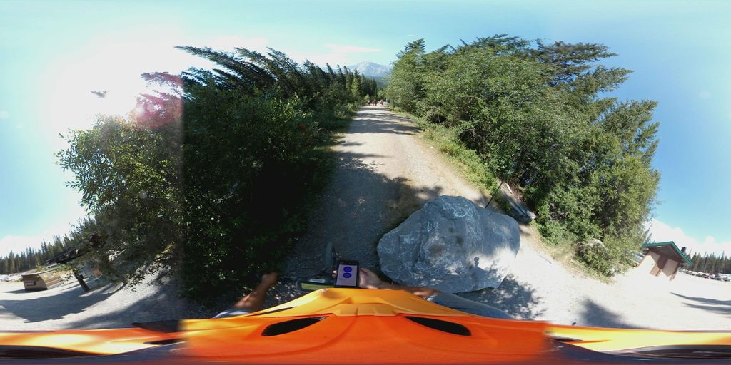
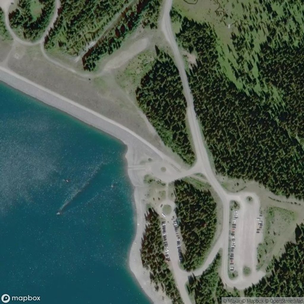
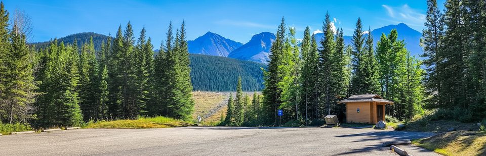
Upper Kananaskis Lake Day Use Area (southernmost lot); Kananaskis Conservation Pass required.
Winter brings snow and ice—use microspikes; avalanche terrain exists beyond the lake toward Sarrail Ridge. Bears are common; keep dogs leashed and carry bear spray. Group size limit is 15.
Place · 0 mi away
Place · 0 mi away
Place · 0.2 mi away
Place · 0.4 mi away
Moderate · 0 mi away
Easy · 0 mi away
Moderate · 0.5 mi away
Easy · 1.6 mi away

Parkwolf Tour Guide
