
Place · 0 mi away
Easy
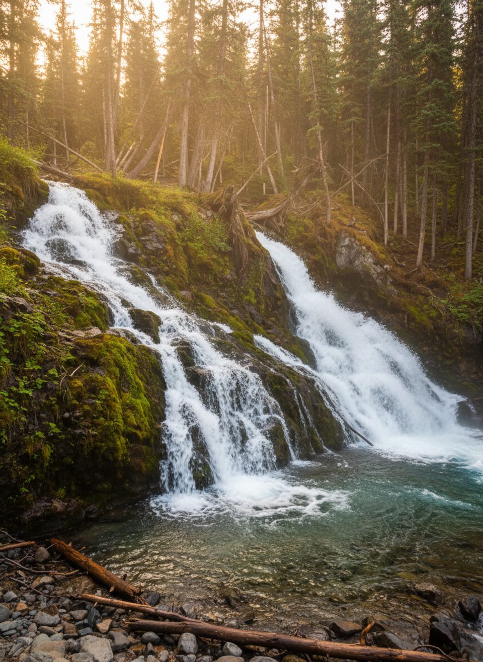
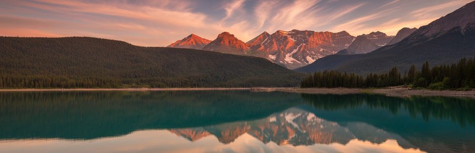
This is the easy, crowd‑pleasing warm‑up on Upper Kananaskis Lake’s south shore: a short walk from the Upper Kananaskis Lake Day Use area to a pretty cascade on Sarrail Creek. It’s about 2.2 km/1.4 miles total (out and back), with minimal elevation, and a big payoff fast. If you’re touring the area or waiting on better weather higher up, this is the dependable, low‑effort stop.
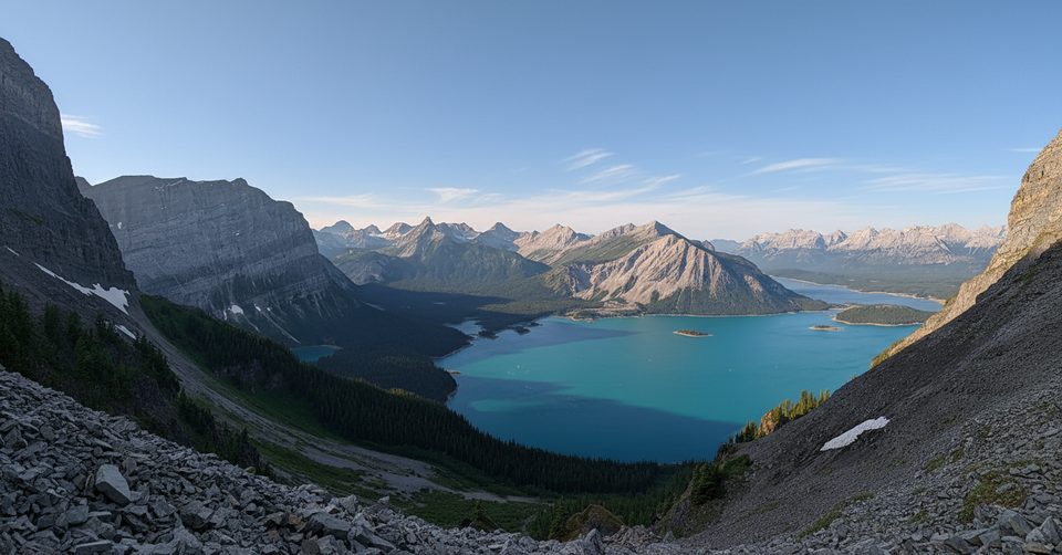
From the furthest lot at Upper Kananaskis Lake Day Use, follow the lakeshore path. In roughly 1.1 km you’ll reach the bridge over Sarrail Creek; the falls sit just upstream/downstream of the bridge, framed by thick forest and lake views. Turn around here for the named outing, or continue along the lakeshore for a longer loop day. If you’re feeling ambitious, note there’s a separate, signed junction that climbs to Rawson Lake and, for advanced hikers, up to Sarrail Ridge—both are much bigger undertakings than the falls stroll.
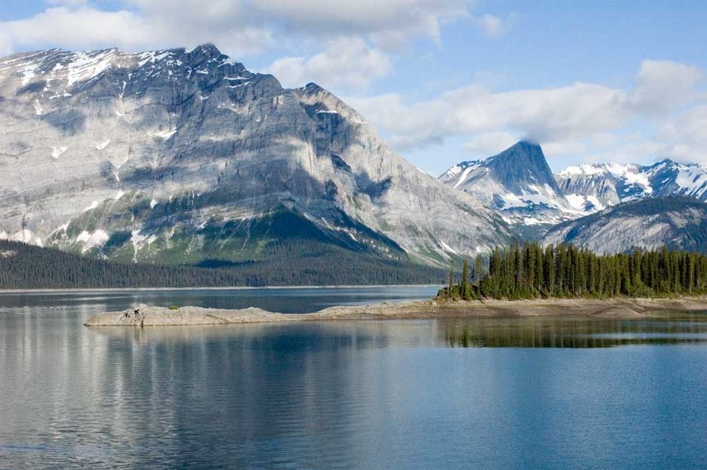
Expect an easy path, lake breezes, and quick access to water views. The bridge gives a safe, stable perch for photos—great for long‑exposure shots without scrambling around slick rocks. It’s popular, so don’t expect solitude, but the quick turnaround keeps it pleasant.
Year‑round, with the most comfortable footing typically late spring through fall. In winter and shoulder seasons, icy sections are common—traction helps. Early or overcast light flatters the waterfall; midday can be harsh. Cell service is spotty to none, so download maps before you drive in.
Rawson Lake is an easy–moderate half‑day from the same start, and Sarrail Ridge is a steep, difficult push requiring sure footing (and in snowy seasons, avalanche training/gear). The falls outing is short and family‑friendly; the ridge is not.
You’ll need a Kananaskis Conservation Pass to park. This is prime grizzly habitat—hike in a group, make noise, and carry bear spray. Parts of the broader lakeshore loop allow e‑bikes for a limited section between North Interlakes Day Use and Point Backcountry Campground; the short approach to the falls is a hiking path. Lots can fill on summer weekends—arrive early.
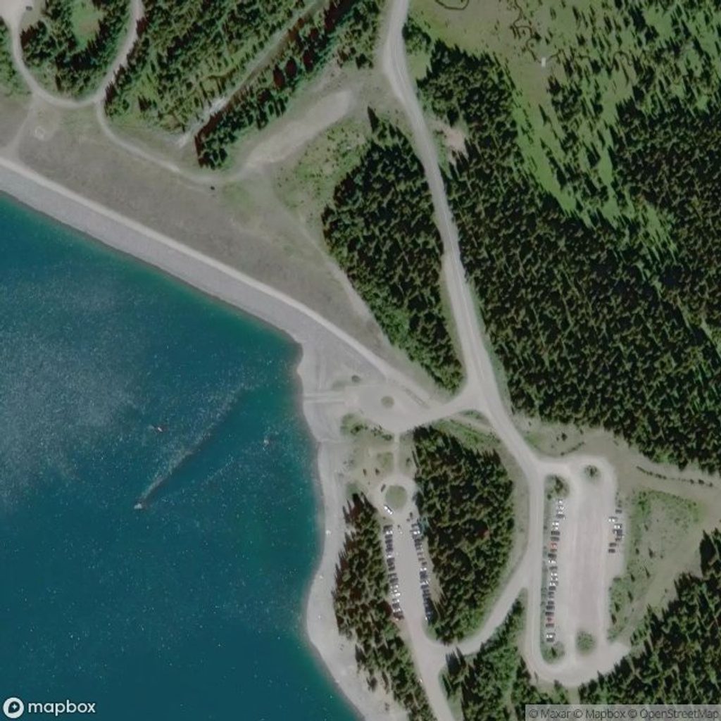
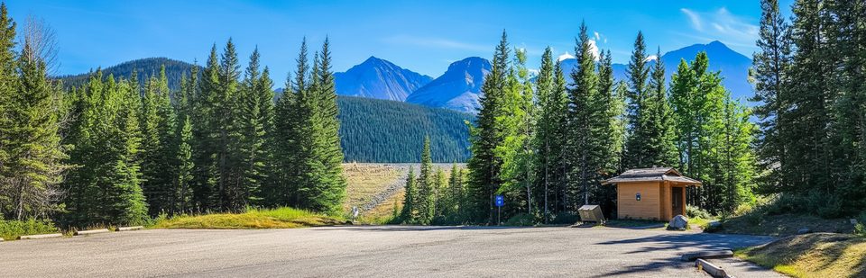
Upper Kananaskis Lake Day Use (furthest lot). A Kananaskis Conservation Pass is required to park.
Icy sections are common in winter and shoulder seasons—carry traction. This is grizzly habitat; keep bear spray accessible and hike in a group. The route beyond Rawson Lake toward Sarrail Ridge crosses avalanche terrain—do not continue there in snowy/unstable conditions without proper training and gear.
Place · 0 mi away
Place · 0 mi away
Place · 0.2 mi away
Place · 0.4 mi away
Moderate · 0 mi away
Moderate · 0 mi away
Moderate · 0.5 mi away
Easy · 1.6 mi away

Parkwolf Tour Guide
