
Place · 0 mi away
Moderate
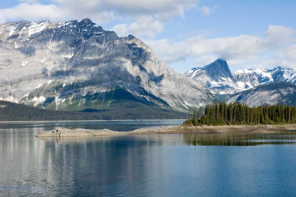
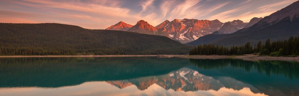
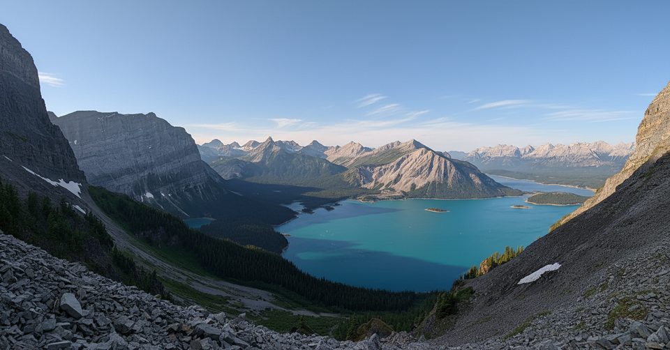
This is the classic lakeshore loop in Peter Lougheed: a 9.7‑mile (15.7 km) circuit that wraps the entire Upper Kananaskis Lake. Expect mostly gentle undulations with no significant elevation gain, but don’t mistake “flat” for boring—this one is about constant water-and-peak scenery, lively falls, and a geologic detour across a boulder field. Most hikers take 4.5–5 hours.
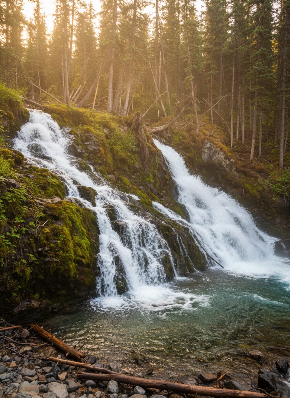
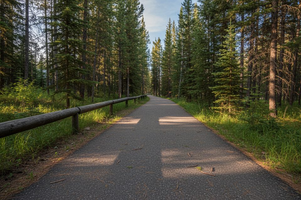
From Upper Lake Day Use or North Interlakes Day Use, the path threads spruce–fir forest with frequent shoreline breaks. You’ll hit Sarrail Falls just 1.1 km from Upper Lake Day Use, and there are viewpoints on the lake’s outflow toward Lower Kananaskis Falls. The north shore crosses the Palliser rockslide—broken limestone and dolomite talus with big-water panoramas—before passing Point Backcountry Campground.
Traditional bikes and e-bikes are only permitted on a 3.5 km stretch between North Interlakes Day Use and Point Backcountry Campground; the rest is hiking-only. Dogs are allowed but must stay leashed. Group size is limited to 15 (or 35 with a permit).
Best window is late June through October, with July the most reliable once snow and avalanche hazards settle. In winter and shoulder seasons, expect snow and ice (traction helps), short daylight, and slush near the waterline. This loop can enter avalanche terrain when snow is present—plan conservatively. Nearby seasonal note: Aster Lake Backcountry Campground is closed December 1–August 3 annually.
This is active grizzly and moose habitat. Bear warnings and occasional closures do happen; travel in a group, make noise, carry bear spray, and keep pets leashed. The tread is generally straightforward, but the rockslide section is slow, uneven, and ankle‑twisty. Trails can be damp, downed trees appear after storms, and ticks are a thing in season—do a check after your hike.
Start from Upper Lake Day Use if you want Sarrail Falls early; starting from North Interlakes front‑loads the rockslide views. Waterproof footwear is smart year‑round; add microspikes outside midsummer. A Kananaskis Conservation Pass is required to park, and conditions/closures change fast—check current advisories before you go.
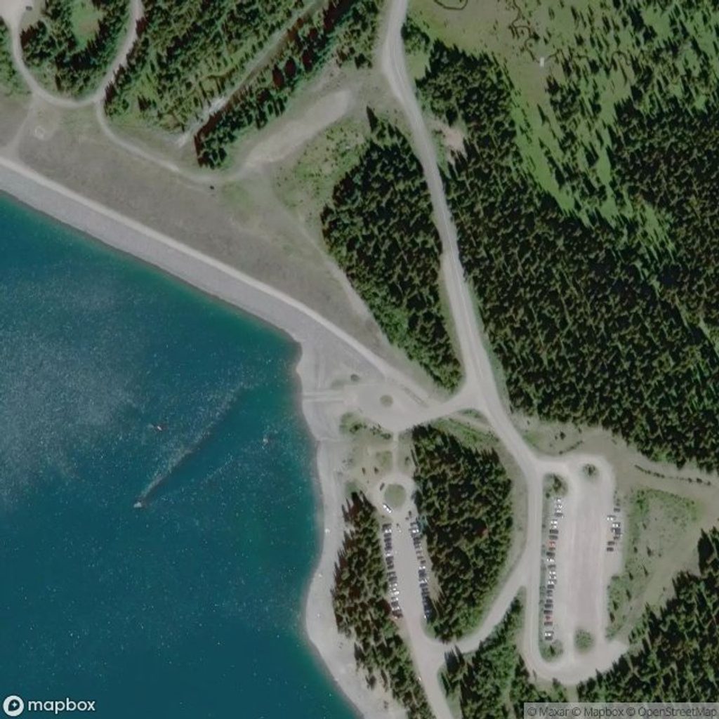
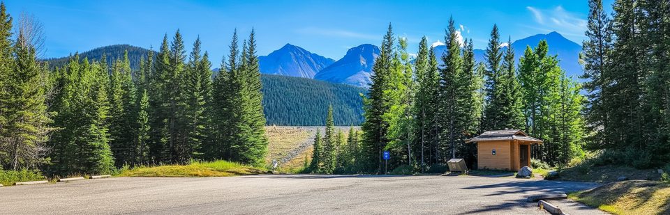
Park at Upper Lake Day Use or North Interlakes Day Use; a Kananaskis Conservation Pass is required.
Active bear country with periodic closures; avalanche terrain when snow is present; uneven talus on the north shore; sudden weather shifts and seasonal ticks—carry spray, traction, and hike in a group.
Place · 0 mi away
Place · 0 mi away
Place · 0.2 mi away
Place · 0.4 mi away
Moderate · 0 mi away
Easy · 0 mi away
Moderate · 0.5 mi away
Easy · 1.6 mi away

Parkwolf Tour Guide
