Pros & cons
PROS
- Striking color-banded badland cones right off the main road
- Two pullouts with big views and interpretive signs
- Access to the Historic Blue Forest Trail from the south pullout
CONS
- No restrooms or shade; zero services on-site
- Blue Forest Trail is unmaintained and easier with a photo-based map
Overview
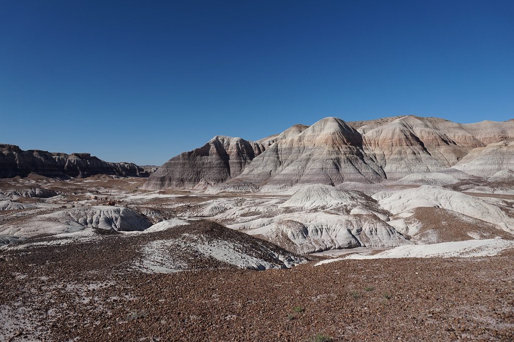
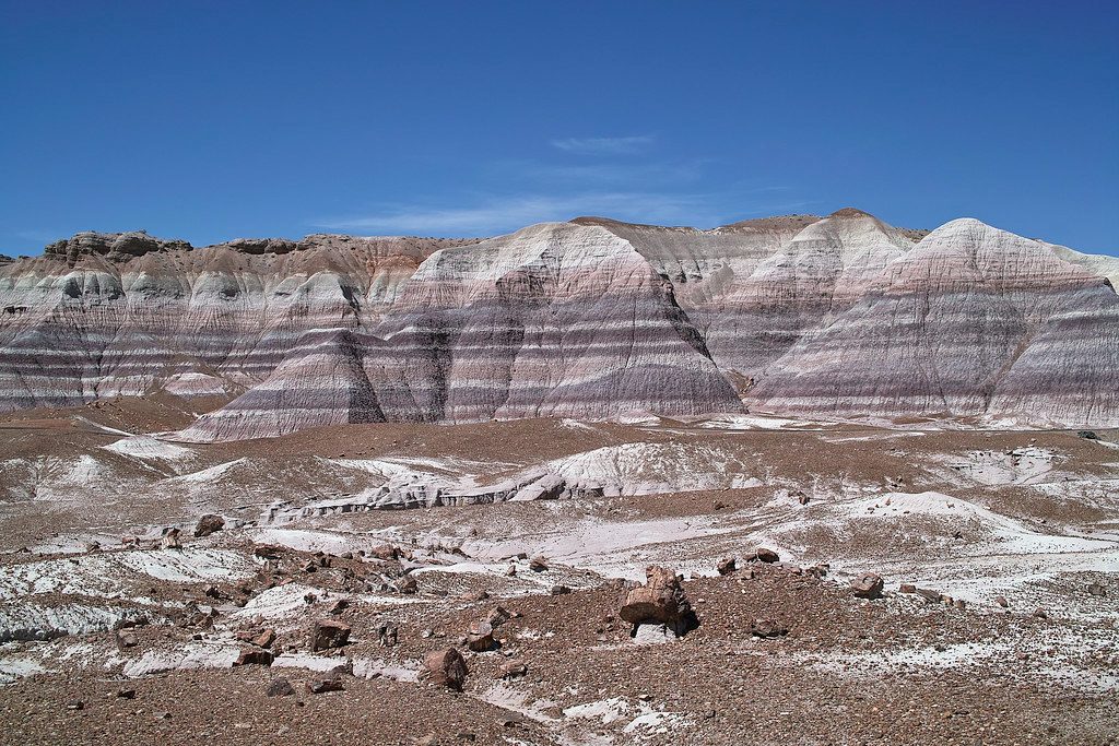
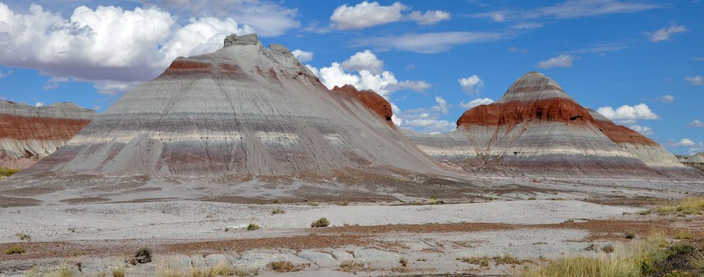
The Tepees are a photogenic cluster of cone-shaped badland hills that erupt from the flats along Petrified Forest Road. It’s an easy, classic stop on the park’s scenic drive—pull over, step out, and you’re instantly in a world of painted stripes and otherworldly forms.
What You'll See
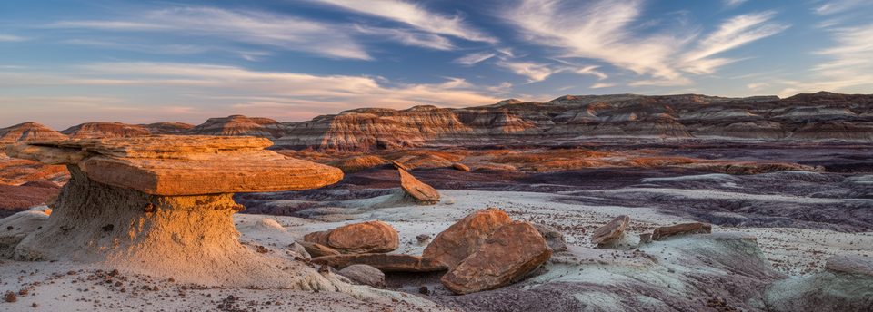
Expect dramatically banded cones in reds, blues, purples, grays, and whites. The bands pop in angled light, and the surrounding terrain fades into gray-blue badlands—minimal vegetation, maximum mood. Both north and south pullouts offer quick access to broad views and interpretive panels.
Geology, Short and Sweet
These hills are part of the Blue Mesa Member of the Chinle Formation, laid down in the Late Triassic (roughly 220–225 million years ago). Iron and manganese in the mudstones paint those distinct layers—nature’s sedimentary timeline, on full display.
Ways to Visit
- North and south roadside pullouts: easy parking for a short wander and photos.
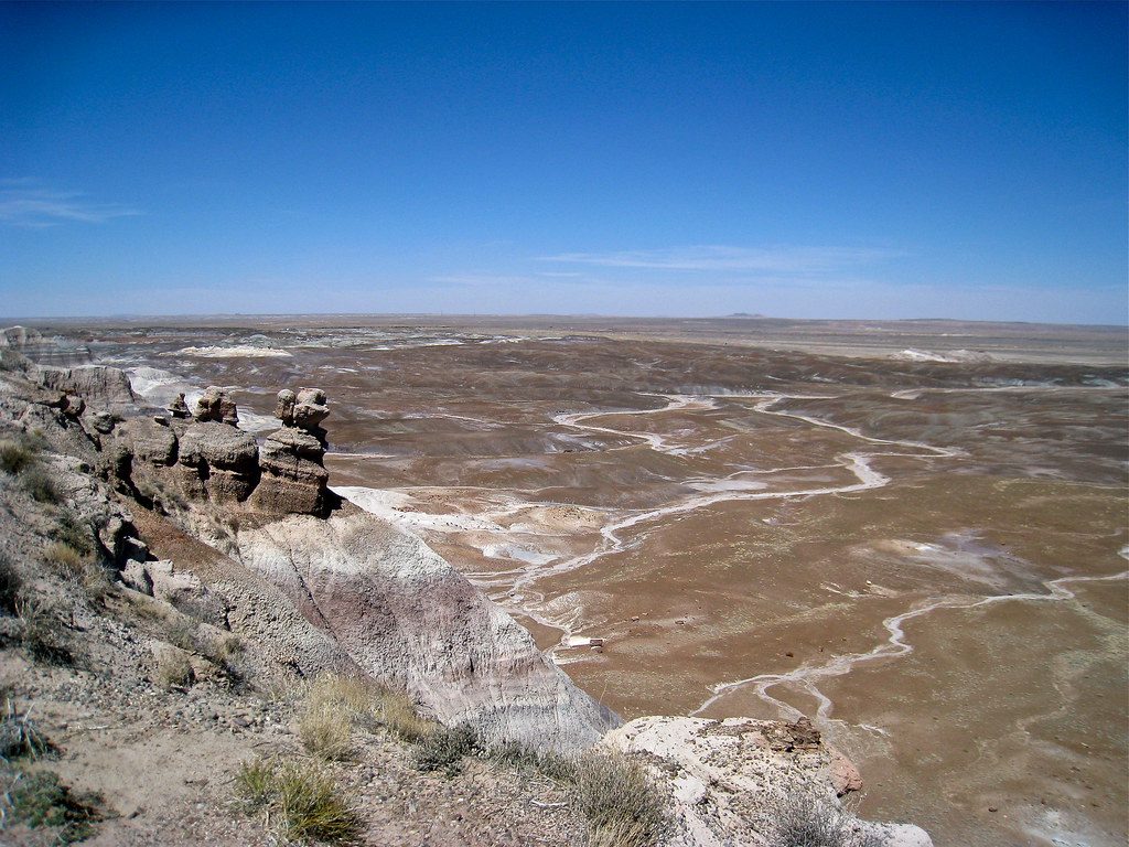
- The south pullout doubles as the start of the Historic Blue Forest Trail, which threads deeper into the badlands for wider panoramas.
About the Historic Blue Forest Trail
This is a lesser-traveled, unmaintained route of about 3 miles out-and-back. It’s moderate and much easier to follow with the park’s photo-based route guide—grab one at a visitor center before you go. If you’re not up for the trail, the pullouts alone deliver the signature views.
Wildlife
This stop is all about geology. The broader Painted Desert supports lizards, birds, and rabbits, with occasional coyote sightings, but wildlife isn’t the main draw here.
Best Time to Visit
- Lighting: Early morning and late afternoon make the color bands glow and add texture to the cones.
- Crowds: It’s a popular, quick stop—expect more cars during midday and peak season. Arrive early or late to keep it mellow.
Know Before You Go
There are no restrooms, water, shade, or food at The Tepees. Bring water, sun protection, and a camera. If you plan to hike Blue Forest, pick up that photo-based map first and wear good footwear.
Where it is
34.9468, -109.7755Tips for The Tepees
- 01Stop at both the north and south pullouts—angles and colors differ.
- 02For Blue Forest, grab the park’s photo-based route guide before you go.
- 03Shoot in early morning or late afternoon to make the bands pop.
- 04There are no restrooms or shade here; plan your pit stops and bring water.
- 05Expect exposure—hat, sunscreen, and sturdy shoes make this a better stop.
Amenities
Near The Tepees
All places →All trails →
0.3 mi awayBlue Forest TrailQuiet badlands ridge with Blue Mesa colors and petrified wood.Moderate · 2.6 mi · 2 hr
1.2 mi awayBlue Mesa OverlookSweeping badland vistas with a short paved loop into the colorsTrailhead · Parking
1.2 mi awayBlue Mesa TrailShort, paved loop into blue badlands studded with petrified logsEasy · 1 mi · 36 min
1.2 mi awayRed Basin/Clam Beds LoopOff-trail badlands loop to fossil clam beds and Blue Mesa vistasModerate · 7.4 mi · 2.3 hr
1.7 mi awayNewspaper RockPacked petroglyphs viewed from a short, easy overlook with scopesPullout · Parking
1.7 mi awayNewspaper Rock Overlook TrailPaved two-minute stroll to a dense petroglyph gallery from aboveEasy · 0.1 mi · 15 min
2.2 mi awayPuerco PuebloShort loop to ancient pueblo ruins and easy-to-see petroglyphsTrailhead · Restroom
3.9 mi awayAgate BridgeA rare petrified log bridge, photogenic and a quick roadside stopParking · Scenic Viewpoint