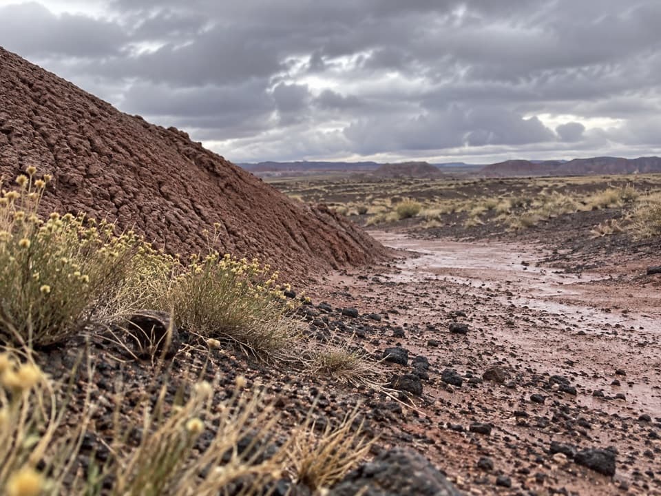
Parking
Park at the Blue Mesa sun shelter off Blue Mesa Scenic Road. The developed loop begins there beside the interpretive kiosk and picnic shelter/table.

#1 of 16 trails in Petrified Forest
Petrified Forest National Park, AZ
Color-banded badlands and petrified wood on a short, steep loop.
Overview
Map & elevation
Plan your hike

The highest, rockiest slopes around here are a summer buffet for grizzly bears.
Petrified Forest Tour Guide
Parkwolf is a GPS audio tour guide for Petrified Forest National Park. As you drive, it chimes in with what’s ahead: hidden gems, upcoming stops, history, geology, and wildlife, right through your car’s speakers.
See the Petrified Forest audio tourRecorded for this trailhead
Blue Mesa's Banded Hills“You're coming up on Blue Mesa, where blue-gray and lavender hills fill the basin below the rim. I'd stop for the overlooks even if you don't want a hike; you can see the colored bands from above.”
Plays as you drive up to this trailhead in the Parkwolf Petrified Forest Tour Guide.
More stories near here in the app
“Fantastic app with many points of information… It’s great to just turn on while you’re driving and it gives you an audio tour of the national Park. We love it!!!!”


Trail guide
Blue Mesa Trail is a one-mile loop from the Blue Mesa sun shelter, dropping from the rim into a basin of banded badlands and returning to the same start. Choose it for the colored hills and the close walk among them; the route is short, but the first descent and the climb back make it feel like a proper hike. Allow about 45 minutes to an hour, especially if you stop for the views and logs.
The route leaves the mesa edge on a steep, zigzagging grade. The hills quickly rise around you, and the lower circuit threads between them before bringing you back to the point where you began the descent. From there, climb the same short connector to the shelter. That repeated section is part of the full mile, so don't treat the lower loop as the whole outing. Take your time on the drop and save a little energy for the return.
This is a developed trail, but not a flat promenade: the surface alternates between pavement and gravel, and the opening slope is steep. Those grades matter more than the distance if steep paths or uneven footing are a concern. The open basin has little shade, so the short walk can feel hot on a sunny day. If the descent isn't a fit, you can still take in the badlands from the rim by the shelter without committing to the loop.
The Blue Mesa Member is about 220 to 225 million years old. It is mostly thick mudstone in gray, blue, purple and green, with a little sandstone. Those bands are ancient soils: blue and green shades formed where the ground stayed wet and low in oxygen, while shifting groundwater let iron oxidize and redden other layers. The colors are easiest to appreciate close up, where one slope can show several bands at once.
Petrified logs appear among the hills, but the layered badlands are the main reason to walk this loop. Paleontologists have also found plant and animal fossils in Blue Mesa's sedimentary layers; those are traces of ancient life, not a promise of wildlife sightings today. If seeing the largest petrified-wood deposits is your priority, add the separate Crystal Forest Trail rather than expecting Blue Mesa to be all logs.
Begin at the Blue Mesa sun shelter, where the trailhead has parking, an interpretive kiosk and a picnic table under shelter. Low morning light can bring out the colors on the western hills; on the lower loop, include a piece of trail or a pedestal log in the frame to show the scale of the formations. Leashed pets are allowed on developed trails, and visitors should clean up after them. The shelter's rim view is a good stopping point if you want the landscape without the steep descent.
Wildlife
 185 sightingsPronghornMost seen around 6 AMSighting map
 172 sightingsMule DeerMost seen around 6 AMSighting map
 100 sightingsCoyoteMost seen around 6 PMSighting map
 33 sightingsWapitiMost seen around 7 PMSighting map
 35 sightingsGunnison's Prairie DogMost seen around 8 AMSighting map
 56 sightingsPorcupineMost seen around 7 PMSighting map
Sighting maps show where each species has been reported across Petrified Forest. Wildlife moves, so no sighting is guaranteed.
Keep exploring
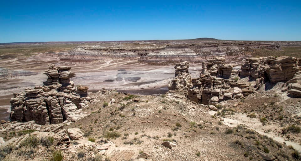 ModerateBillings Gap Overlook Loop3.5 mi · 2.5 hr · 0.2 mi awayCircle Blue Mesa's rim for a close look at Billings Gap.
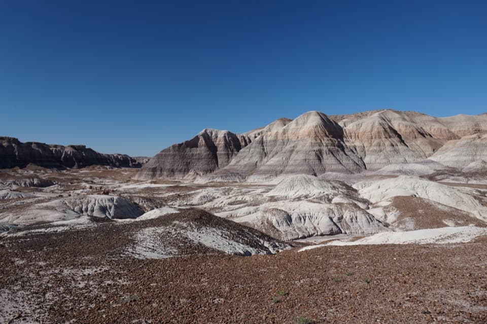 ChallengingBlue Forest Trail1.2 mi · 1.5 hr · 1.3 mi awayA rough old trail through blue badlands and exposed petrified wood.
 EasyPuerco Pueblo Trail0.3 mi · 30 min · 3.3 mi awayA short paved loop through ancestral Puebloan ruins and petroglyph views
 ModerateJasper Forest Hike2.5 mi · 1.5 hr · 4.6 mi awayA disappearing road threads a dense field of ancient petrified logs.
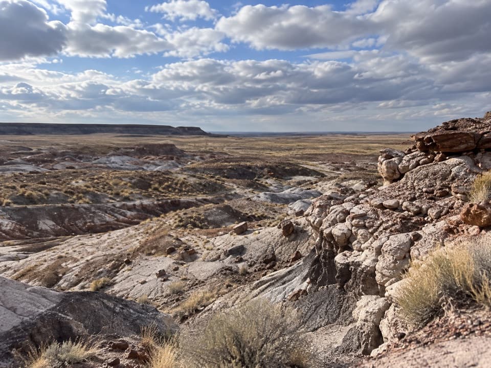 ModerateFirst Forest Point4.2 mi · 3 hr · 4.6 mi awayWash route-finding leads to petrified wood and a mesa view.
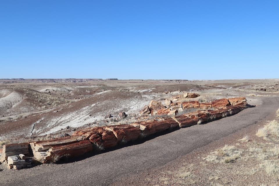 EasyCrystal Forest Trail0.9 mi · 30 min · 5.6 mi awayA short loop among colorful logs scattered across purple badlands.
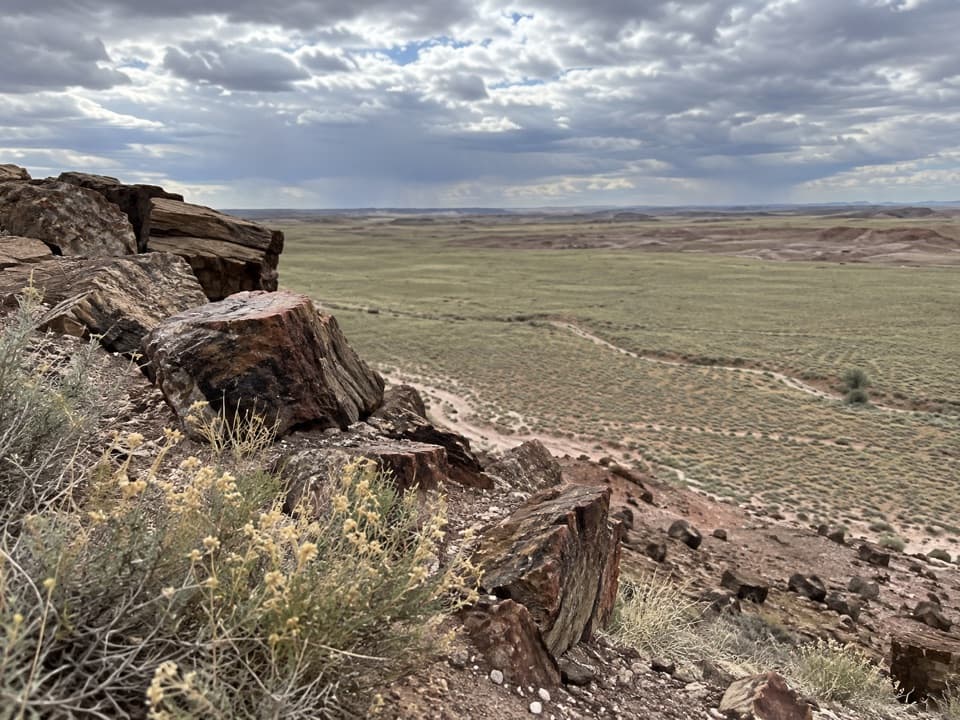 ModerateDead Wash Overlook Hike4 mi · 2.5 hr · 7.1 mi awayA faint route across striped badlands to a wide wash view.
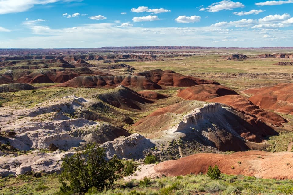 EasyPainted Desert Rim Trail1 mi · 36 min · 9.9 mi awayA short rim walk to layered Painted Desert views
 Sight · At the trailheadBlue Mesa OverlookRim-top views of striped badlands, with an optional one-mile walk.
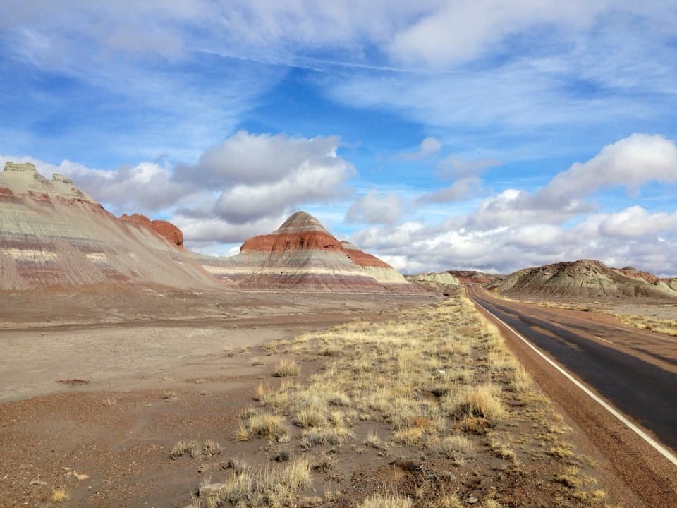 Scenic pullout · 1.2 mi awayThe Tepees North PulloutA quick roadside look at the Painted Desert's striped cones.
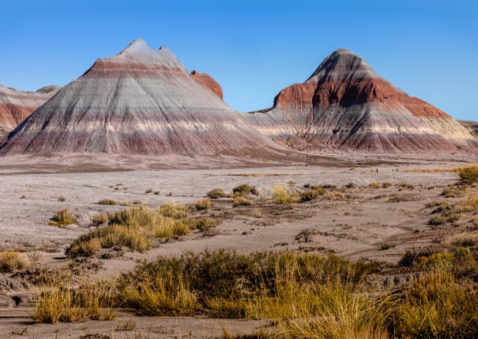 Scenic pullout · 1.2 mi awayThe Tepees South PulloutA roadside look at roughly 220-million-year-old striped hills.
 Sight · 2.9 mi awayNewspaper RockMore than 650 petroglyphs, best seen slowly through the scopes.
 Sight · 3.3 mi awayPuerco PuebloA low-walled pueblo with petroglyphs and a solstice marker.
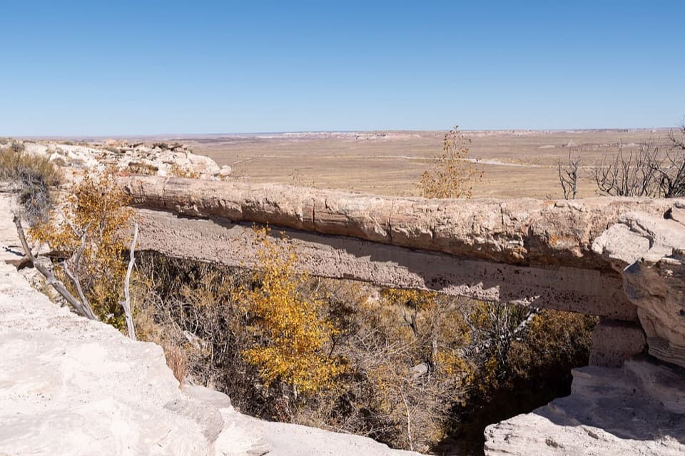 Sight · 3.9 mi awayAgate BridgeA petrified log spans a gully on a 1917 concrete beam.
 Sight · 4.6 mi awayJasper Forest OverlookA quick panorama over Jasper Forest’s basin of petrified wood.
 Sight · 5.5 mi awayCrystal ForestQuartz flashes in the petrified logs along this short paved loop.
Parkwolf’s Petrified Forest ranking

The audio tour guide for the drive, plus offline maps, trails, and wildlife heatmaps for when the signal drops.