
Place
Easy
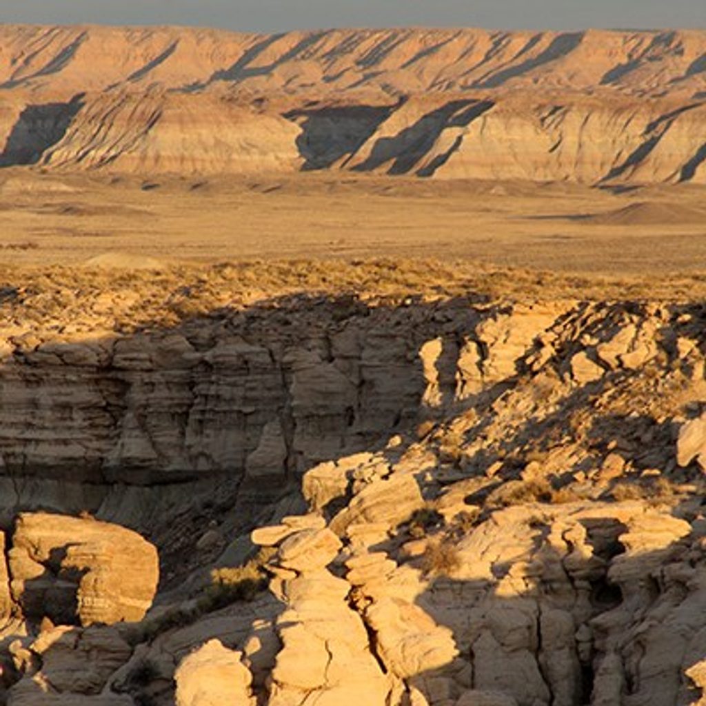
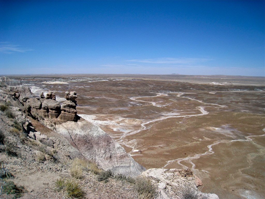
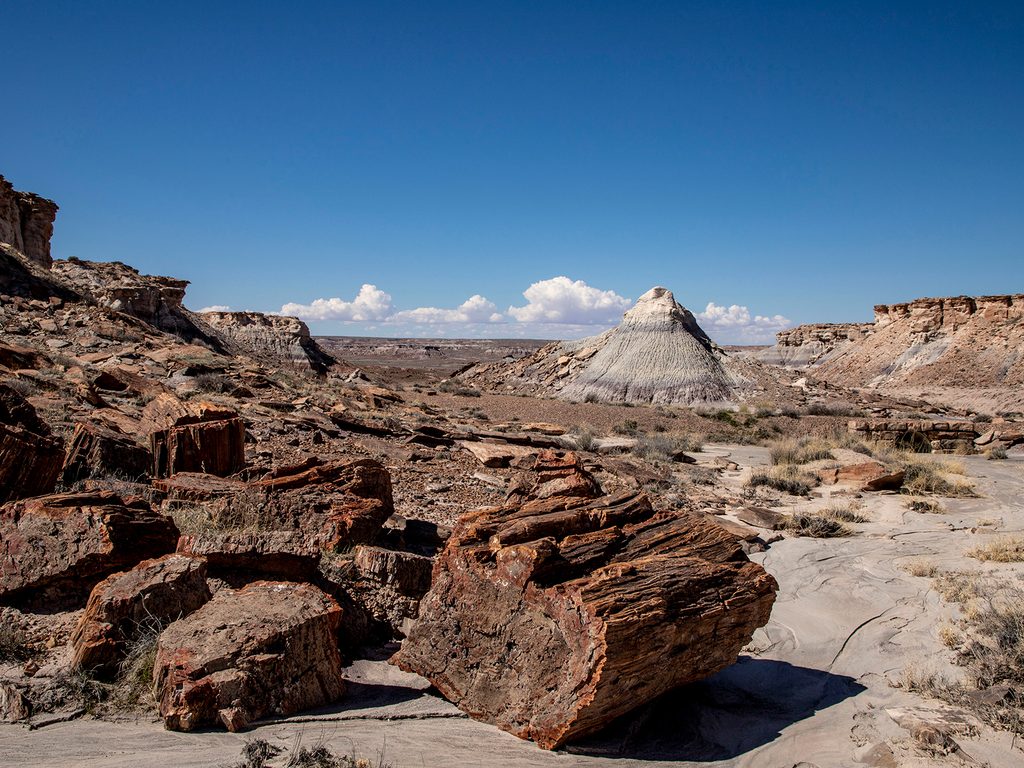
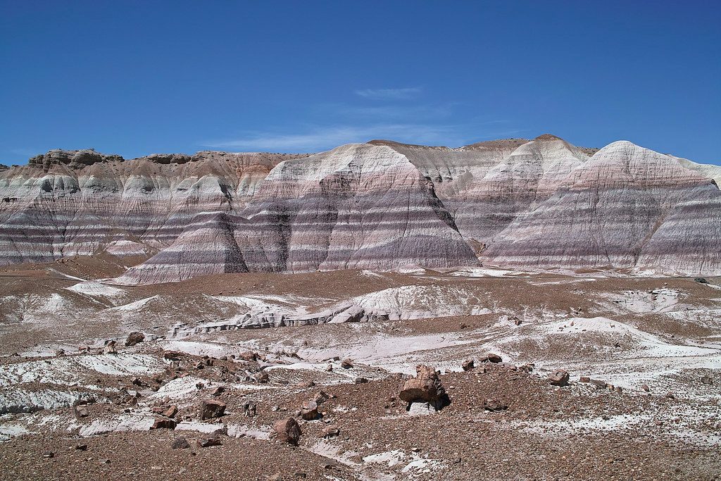
If you want broad Painted Desert/badlands vistas without the crowds, this short rim loop delivers. The Billings Gap Overlook Route is about 2.0 miles total with roughly 229 ft of gentle gain, and it feels far wilder than its easy stats suggest. It’s a designated “route,” not a built trail—think faint tread, no signage, and a choose-your-own-adventure feel along the north rim of Blue Mesa.
From the roadside pullout, an obvious footpath heads toward the mesa and quickly settles into a mellow loop that traces the rim above Billings Gap. The overlook comes about halfway around, framing colorful, eroded badlands and hoodoos, with expansive northeast-facing views. Continue the loop to cross a short section of active sand dunes on the far side before closing the circuit. Expect dirt and sandy singletrack with occasional rock; navigation is straightforward if you pay attention to the rim, but bring a map or GPS just in case.
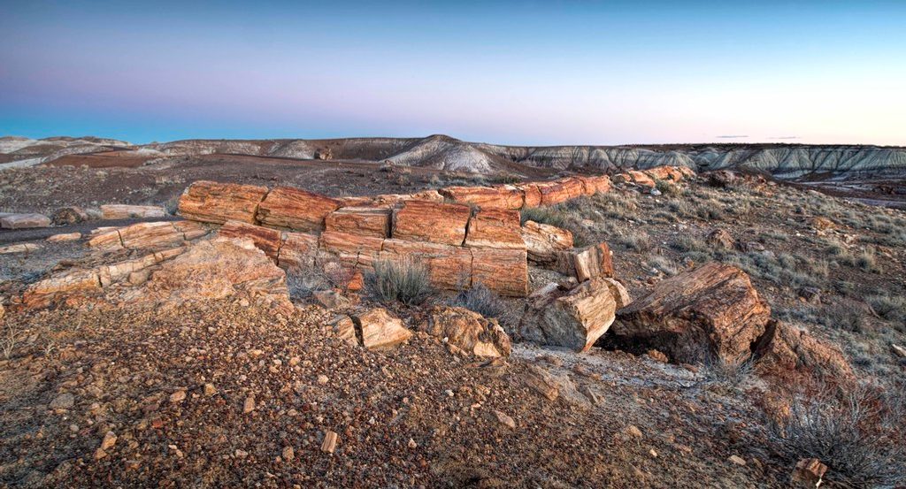
This is badlands country: striped Blue Mesa cliffs, vividly layered hills, and weather-carved formations. It’s notably not a petrified-wood-focused walk—consider that a plus if you’re craving variety. The dunes you cross are among the youngest deposits in the park, draped over much older Late Triassic Chinle Formation—the contrast is a geek-out moment for geology fans. The area falls within lands added to the park in 2004, where ongoing archaeological and paleontological work continues.
Park at the third pullout along the one-way Blue Mesa Loop Road. The route is unsigned; look for the footpath heading from the pullout toward the mesa rim. If you reach the developed Blue Mesa Trail, you’ve gone too far.
Spring and fall are the sweet spot—cooler temps, fewer storms, and flattering light. Summer can be brutally hot with sudden monsoon thunderstorms; start at sunrise if you go then. Winter is doable but can be windy and cold. For photos, sunrise or sunset lights up the badlands beautifully.
This is an unconstructed, unsigned route—easy walking, but you’re responsible for your navigation and safety. There’s zero shade and full exposure, so carry ample water, sun protection, and be storm-aware. Leashed pets are allowed. Standard park entry fees apply.
Third pullout on the one-way Blue Mesa Loop Road; unmarked roadside pulloff with an obvious footpath heading from the pullout toward the mesa. If you reach the Blue Mesa Trail area, you’ve gone too far.
Unmarked route with no shade; summer heat and sudden monsoon thunderstorms are real risks. Carry ample water, sun protection, and a map/GPS, and avoid high points if lightning threatens.
Place
Place
Place
Place
Easy
Easy
Easy
Easy

Parkwolf Tour Guide
