
Place
Moderate
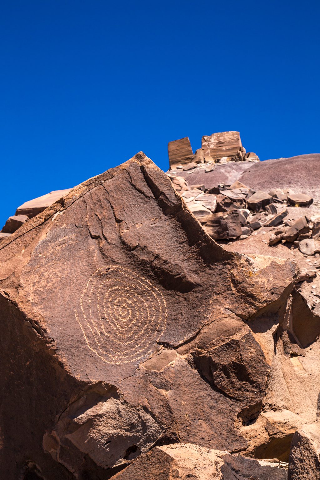
If ancient rock art gets you out the door, this is your Petrified Forest gem. Martha’s Butte is a short, mostly unmarked backcountry ramble to a low butte ringed with petroglyph-covered boulders—including a famous spiral “solar marker.” Expect solitude, big-sky desert, and a touch of route-finding adventure.
The standard outing is about 2.0 miles round-trip with roughly 225 feet of total gain. Many hikers turn it into a loose loop (around 2.3 miles) by wandering the surrounding badlands after visiting the glyphs. There’s no built trail—think cross-country walking on sandy flats, hardpan, and a shallow wash. Navigation is straightforward if you’re comfortable following your line to the obvious butte, but a downloaded map or GPS track is smart insurance.
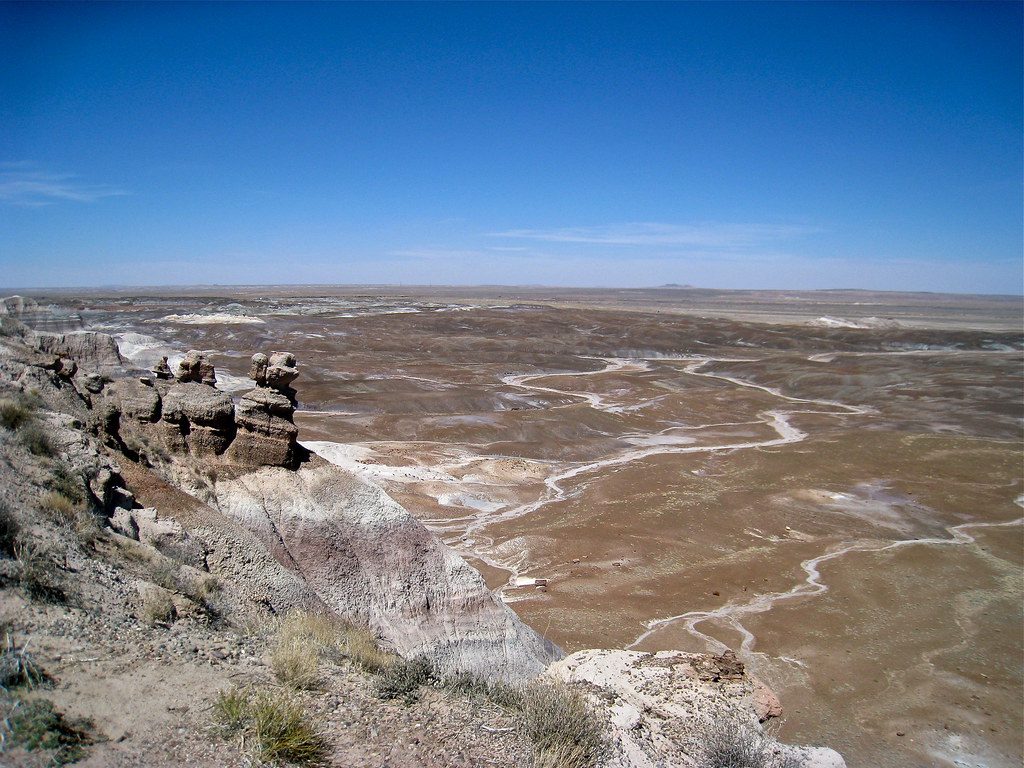
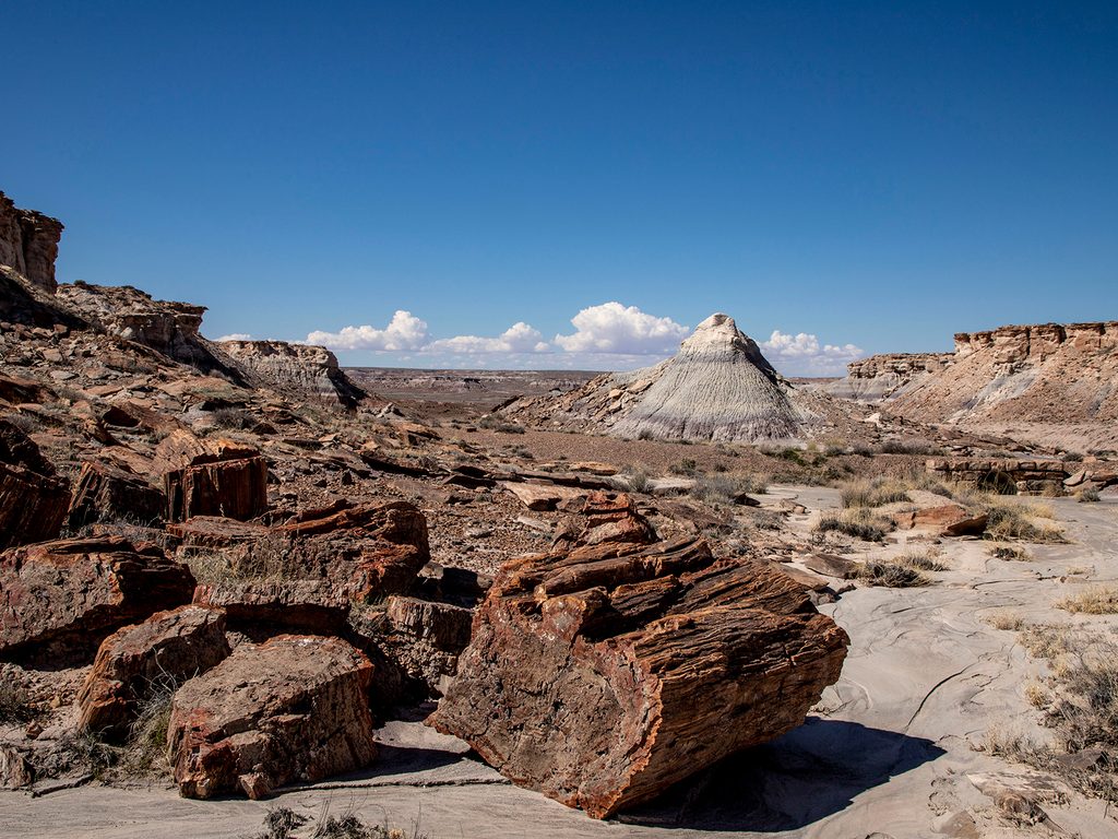
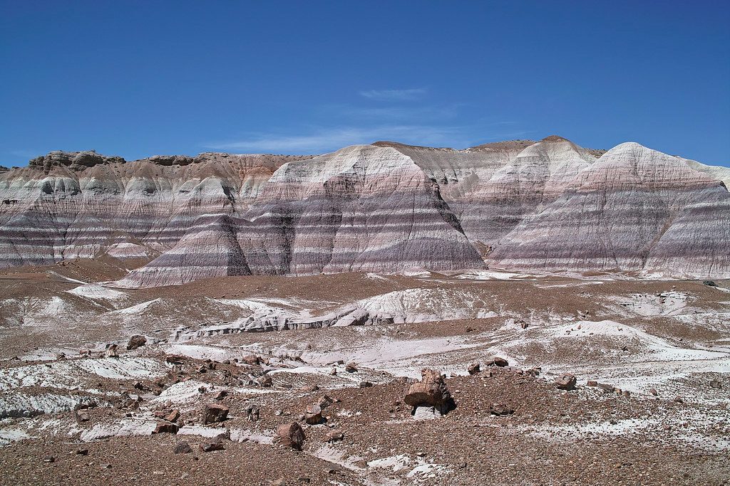
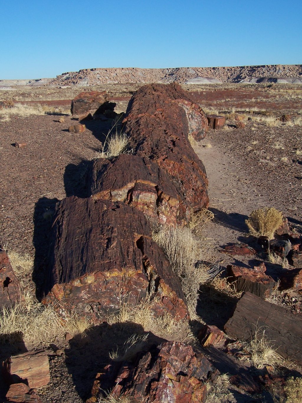
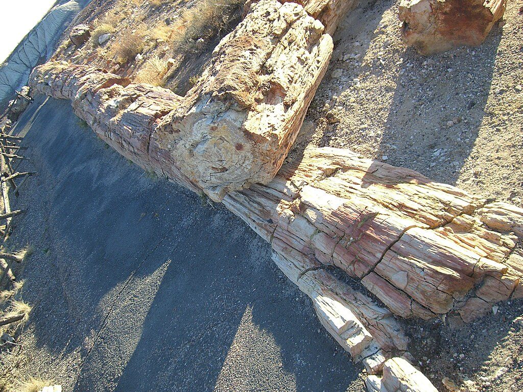
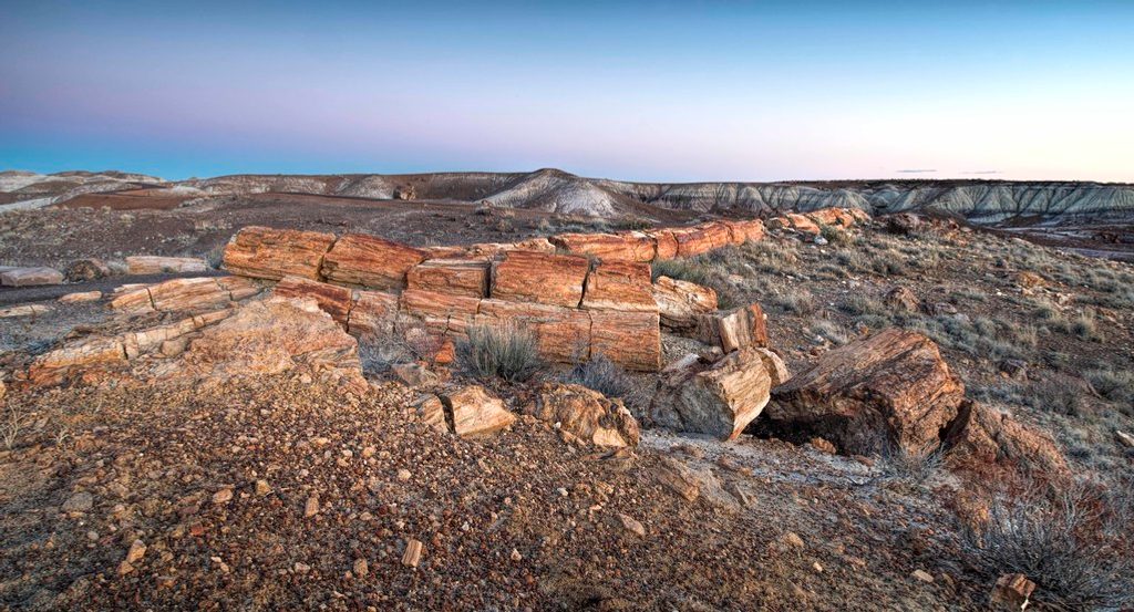
What you’ll see: petroglyph panels with geometric shapes, animals, and that signature spiral solar marker. Please look, photograph, and leave no trace—oils from hands can permanently damage rock art. The badlands backdrop and scattered petrified wood make this a rewarding spot for photographers and anyone into the park’s geology.
Best time to hike: February through November is the sweet spot here, with summer heat demanding an early start. There’s zero shade and no water. If you care about the solar marker effect, plan for summer solstice sunrise; otherwise dawn and late afternoon bring softer light and cooler temps year-round.
Logistics and tips: Park at the small dirt pullout just before the Dry Wash Bridge near milepost 22 on Petrified Forest Road; signage may be minimal or absent. Carry more water than you think you need, sun protection, and sturdy shoes for uneven wash crossings. Leashed pets are allowed on self-guided hikes (not on ranger-led outings). No permits needed for day hiking; standard park rules apply.
Bottom line: Underrated, short, and wonderfully quiet—ideal if you like a little route-finding with your archaeology. If you want a paved, waymarked stroll, pick a different stop; if you want rock art and solitude, this is the ticket.
Small dirt pullout just before the Dry Wash Bridge near milepost 22 on Petrified Forest Road; limited or no signage.
Unmarked cross-country travel with full sun exposure and no water; bring navigation, avoid touching petroglyphs, and prepare for uneven wash crossings.
Place
Place
Place
Place
Easy
Easy
Easy
Easy

Parkwolf Tour Guide
