
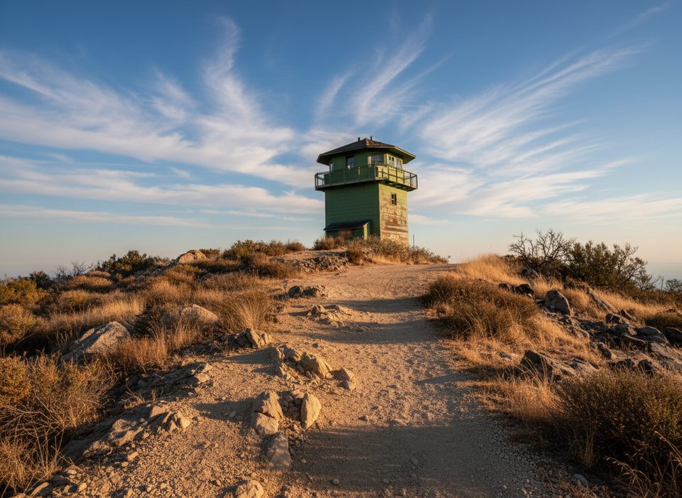
Place · 0.9 mi away
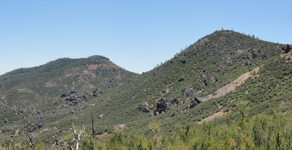
South Chalone Peak is the park’s remote, second-highest summit—a tougher, quieter add-on beyond North Chalone. It rewards strong hikers with sweeping views from the southern Gabilan Range and a real sense of solitude. Expect a long, exposed climb and a rougher finish on an unmaintained spur.
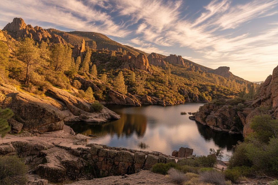
Most hikers reach it by climbing to North Chalone Peak from Bear Gulch Reservoir, then continuing 1.6 miles farther (one way) on an unmaintained path to South Chalone. The spur begins just past a second gate, marked subtly by a single barbed-wire fence post, then drops to a saddle and climbs again. The summit is modest—often noted by a small rock cairn—and the path continues beyond into open wilderness. Plan for roughly 9 miles roundtrip to North Chalone, plus another 3.2 miles roundtrip for South Chalone.
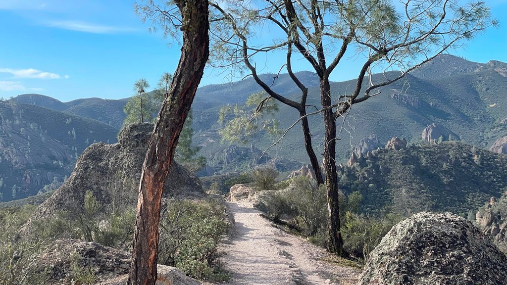
From the ridge, views run across chaparral-cloaked hills and the park’s volcanic high country. This is prime raptor country: California condors often ride midday thermals along the higher reaches, and other birds of prey are common. In spring, look for wildflowers like California poppy, bush poppy, elegant clarkia, and mariposa lily. Manzanita, classic chaparral, and even colorful lichens add texture along the way.
It’s a strenuous outing with about 2,000 feet of climbing and plenty of sun. The trail surface is dirt and rock, and the final section is unmaintained—expect a faint track, uneven footing, and a bit of brush. There’s no water anywhere on the route and little to no shade; temperatures on the Chalone peaks can run about 10 degrees hotter than down by the parking areas.
Spring and late autumn are the sweet spots: cooler temperatures, flowers, and clearer air. In summer, avoid the 10 am–4 pm window unless you’re very heat-adapted—start at dawn. Winter often brings cool mornings and pleasant midday hiking with fewer crowds. For condor watching, midday thermals can be surprisingly productive on breezy days.
On the east side, Bear Gulch Day Use and the small Moses Spring lot are the closest developed parking options for heading to the reservoir and up the Chalone ridge. When these fill (common on busy weekends/holidays), overflow options include Peaks View, Manzanita, and Old Pinnacles. Peaks View has water and a restroom; the picnic grounds have a vault toilet but no running water. A seasonal shuttle sometimes operates from the campground overflow lot to Bear Gulch; if it’s not running, connect lots via the Bench Trail and expect extra walking.
Carry plenty of water—at least a liter per hour of hiking—and salty snacks. Cell service can be unreliable. Wear sturdy footwear and protect yourself from the sun. Watch for poison oak, stinging nettle, and rattlesnakes. Stay on established paths, and remember the South Chalone spur is rougher and less obvious than the main trail.
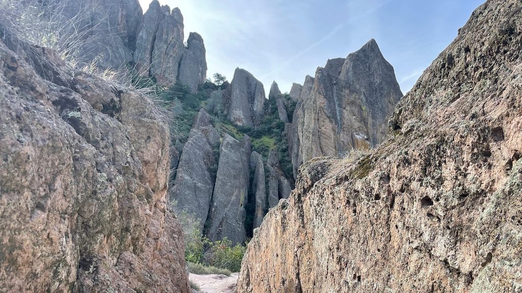
You’re walking across the displaced remnants of a 23‑million‑year‑old volcanic field, carried roughly 195 miles along the San Andreas system. South Chalone sits near one of the major volcanic centers; layered rhyolitic tuffs and breccias, later sculpted by erosion, created the pinnacles and ridgelines you’re traversing. It’s a hike with views—and a front‑row seat to the park’s tectonic story.
Place · 0.9 mi away
Place · 0.9 mi away
Place · 2.4 mi away
Place · 2.5 mi away
Challenging · 3.1 mi away
Challenging · 3.1 mi away
Moderate · 3.1 mi away
Moderate · 3.1 mi away

Parkwolf Tour Guide
