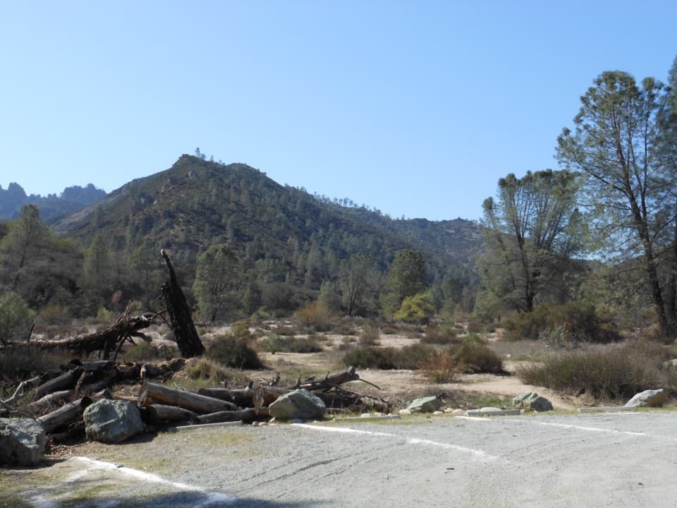
North Chalone Peak

Highest point with sweeping views and condor chances
North Chalone Peak, Pinnacles National Park
InsidePinnacles National Park

Overview

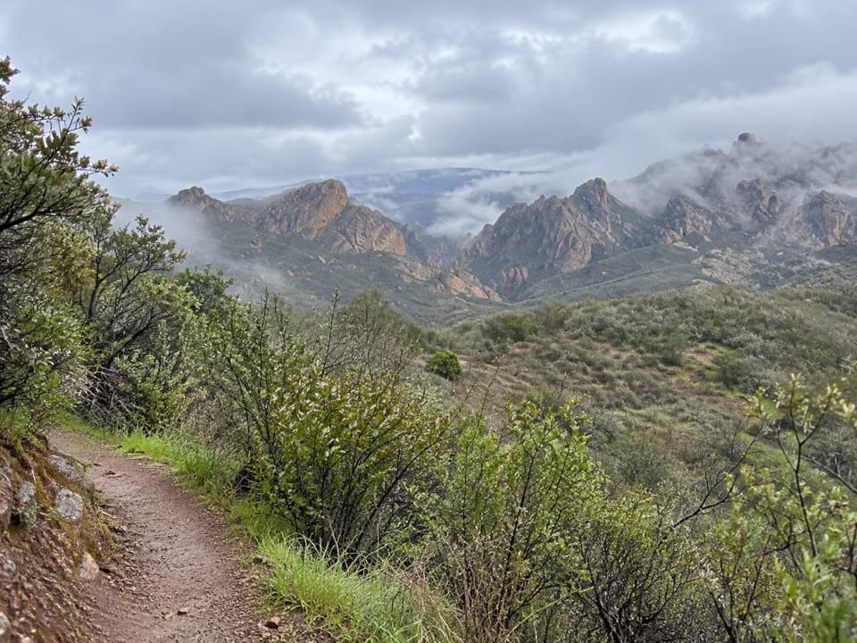
North Chalone Peak tops out at 3,304 feet—the park’s high point—and rewards the grind with big panoramas and a real sense of quiet. It’s a classic Pinnacles challenge: long, sunny, and steadily uphill, but worth it for the views and the chance to see California condors riding the thermals.

Route Snapshot

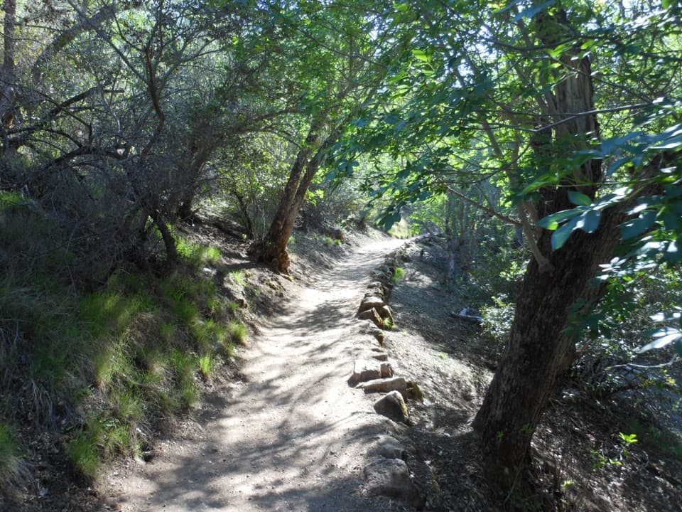
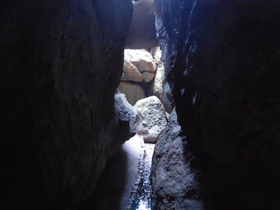
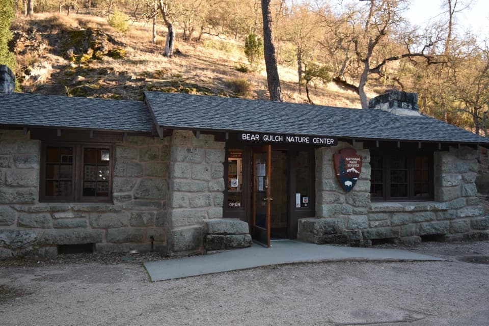
Most hikers start on the East Side from Bear Gulch Day Use, heading past Bear Gulch Cave (when open) and up to Bear Gulch Reservoir. From the reservoir’s east shore, pick up the Chalone Peak Trail as it climbs through the Little Pinnacles and around Frog Canyon, then over a stile to a wide service road. A steep, sunny final push leads to the summit tower (closed to climbing). An unmaintained spur continues beyond to South Chalone Peak if you want to add mileage.

  • Distance and gain: roughly 7.7–7.8 miles round trip with about 2,000–2,180 feet of elevation gain. Expect a stout workout and a steep finish on the service road.

What You’ll See

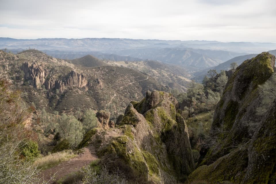
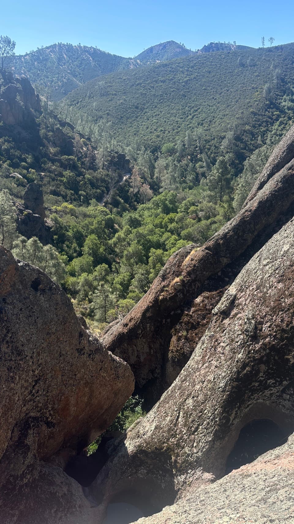
From the summit, you’ll look back at the High Peaks skyline, down into Bear Gulch, and out across the Salinas Valley toward the Santa Lucia and Gabilan ranges. Keep an eye overhead—condors are regularly reported along this route. Typical chaparral wildlife is around too; give rattlesnakes plenty of space if you encounter them.

Conditions, Heat, and Safety

This hike is exposed with minimal shade and no water. Plan accordingly: the park advises carrying at least one liter per hour of hiking. In summer, temperatures at the peak can run about 10 degrees hotter than the parking areas, so avoid the 10 am–4 pm window. Wear sturdy footwear; trekking poles help on the descent. Cell service is spotty to non-existent, so tell someone your plans and check park alerts before you go.

Geology in Brief

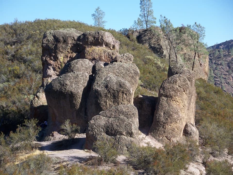
Pinnacles’ jagged landscape is the eroded remnant of a 23‑million‑year‑old volcanic field split by the San Andreas Fault and carried north on the Pacific Plate. Elevations range from creek bottoms to this summit, shaping a mosaic of cliffs, talus caves, and ridges.

Best Time to Visit

Cool, clear fall days (roughly October to December) are prime—longer vistas, milder temps, and fewer heat hazards. Winter works too, but daylight is short. If you’re here in spring or summer, start at first light. Weekdays see lighter parking pressure on the East Side. If you plan to include any cave segment near Bear Gulch, check current cave status first (closures are common for bat protection).

Pros

  • Highest point in the park with sweeping vistas
  • Good chance of solitude and condor sightings

Cons

  • Strenuous, mostly exposed climb with little to no shade
  • No water or services along the route

Tips

  • Start at sunrise from Bear Gulch Day Use to beat heat and parking.
  • Carry at least 1 liter of water per hour; there’s none on the route.
  • Use restrooms in developed East Side areas before you begin.
  • Expect a stile and a short, steep service-road finish to the summit.
  • Check cave openings and trail advisories before including any cave segment; bring a light if open.
The Parkwolf tour guide sitting on a phone mounted in a car

Parkwolf Tour Guide

Like a tour guide in your car.

Save the places you found around Pinnacles, then let Parkwolf guide the drive between them.Download Parkwolf on the App Store