Place
Moderate
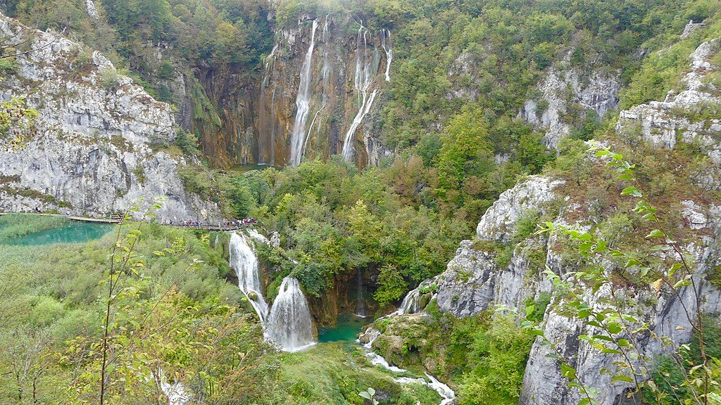
If you want Plitvice’s views without the boardwalk crowds, this ridge delivers. The Medveđak Trail threads quiet mountain beech forest to three summits—Oštri Medveđak (889 m), Tupi Medveđak (868 m), and Turčić (801 m)—with windows down to the lakes and across to Lička Plješivica and river valleys. Expect a mostly unpaved forest path, steady but non‑technical climbing, and real elbow room compared to the lake circuits.
There are multiple signed variants. The classic point‑to‑point ridge traverse between Entrance 2 and Entrance 1 is about 7.5 miles total and typically takes 4–6 hours depending on photo stops. Shorter loops from Entrance 2 that tag one or two summits land closer to 6–7 miles and 3–5 hours. Surfaces are primarily dirt and forest soil with occasional rocky karst patches and brief asphalt/road links near entrances.
Between viewpoints you’ll walk under mature beech with companions like maple (including Bosnian maple), sweet cherry, fir, spruce, and wych elm; shrubs include hazel, alder buckthorn, and fly honeysuckle. Watch for karst features (pits and limestone textures) especially near Trail No. 2.
This is among the park’s oldest marked routes—a path to Tupi dates to 1894, and “Blanka’s Trail” to Oštri was laid in 1900. It feels like it: classic switchbacks, interpretive panels, and a calm, old‑forest mood that’s a stark contrast to the bustling lakes below.
You share this ridge with real wildlife—brown bear country, with roe deer, foxes, wild boar, pine martens, and more. Keep it respectful and stay on marked paths.
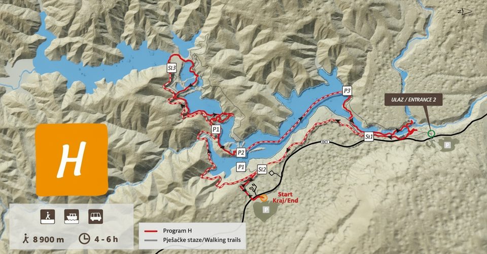
Most hikers start at Entrance 2 (Hladovina): park there, then cross the pedestrian bridge over road D1 to pick up the signed path. Trails No. 1 and No. 2 link the summits and can be combined. If you traverse to Entrance 1, use park transport or plan your return on foot. Dogs are allowed but must be leashed at all times. The route is not adapted for wheelchairs or strollers, and bikes aren’t permitted. A valid park entry ticket is required.
May–October brings the easiest conditions. For the biggest panoramas, come in early spring before leaf‑out or in late autumn after leaf‑fall; summer is comfortable thanks to deep shade but foliage blocks some views. Winter outings can be pleasant in moderate snow if you’re prepared.
Park at Entrance 2 (Hladovina); from the lot, cross the pedestrian bridge over road D1 to pick up the signed trail. Point‑to‑point hikers can finish at Entrance 1 and use park transport back.
You’re in large‑carnivore habitat—keep dogs leashed, make normal hiker noise, and stay on marked trails. Forest duff, wet leaves, and karst rock can be slick; plan transport if traversing between entrances.
Place
Place
Place
Place

Parkwolf Tour Guide