Parking
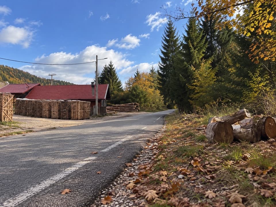
The published start is an unnamed roadside point northwest of the park; no designated lot was verified. This one-way stage finishes 32.8 km away inside the park, so plan your transfer between ends before starting.
Plitvice Lakes National Park, KA · LS
A full-day, mostly paved stage into Plitvice Lakes.
Overview
Map & elevation
Plan your hike

The highest, rockiest slopes around here are a summer buffet for grizzly bears.
Plitvice Lakes Tour Guide
Parkwolf is a GPS audio tour guide for Plitvice Lakes National Park. As you drive, it chimes in with what’s ahead: hidden gems, upcoming stops, history, geology, and wildlife, right through your car’s speakers.
“Fantastic app with many points of information… It’s great to just turn on while you’re driving and it gives you an audio tour of the national Park. We love it!!!!”


Trail guide
Via Dinarica HR-G-07 is a 32.8 km (20.4 mi) one-way point-to-point walk from an unnamed northwest approach into the eastern lake-area paths of Plitvice Lakes National Park. Allow about nine hours. This is a through-stage, not a loop around the lakes or one of the park’s shorter visitor walks; plan it as a full day.
The published surface breakdown lists about 27 km of asphalt and 5.5 km of unknown surface. The mapped line follows long stretches of D42 and other roads before it reaches park footways and a short set of steps at the eastern end. The road miles are the main tradeoff, and continuous pedestrian shoulders are not confirmed.
The route gains about 415 m and descends about 340 m. The grade is described as moderate, but 20 miles on a point-to-point route still makes for a hard day. The distance, rather than a big summit climb, is the commitment.
The finish is inside the park’s eastern lake-area path network, where a valid park entry ticket is required. Leashed dogs are allowed. The start is an unnamed roadside point and no designated parking was verified there; the route ends 32.8 km away, so sort out transport between the two ends before setting out.
Wildlife
 20 sightingsBeaverMost seen around 7 PMSighting map
 29 sightingsGrey HeronMost seen around 7 AMSighting map
 14 sightingsGreat CormorantMost seen around 7 AMSighting map
 84 sightingsMerganserMost seen around 9 AMSighting map
 13 sightingsDipperMost seen around 8 AMSighting map
 201 sightingsMallardMost seen around 5 PMSighting map
Sighting maps show where each species has been reported across Plitvice Lakes. Wildlife moves, so no sighting is guaranteed.
Keep exploring
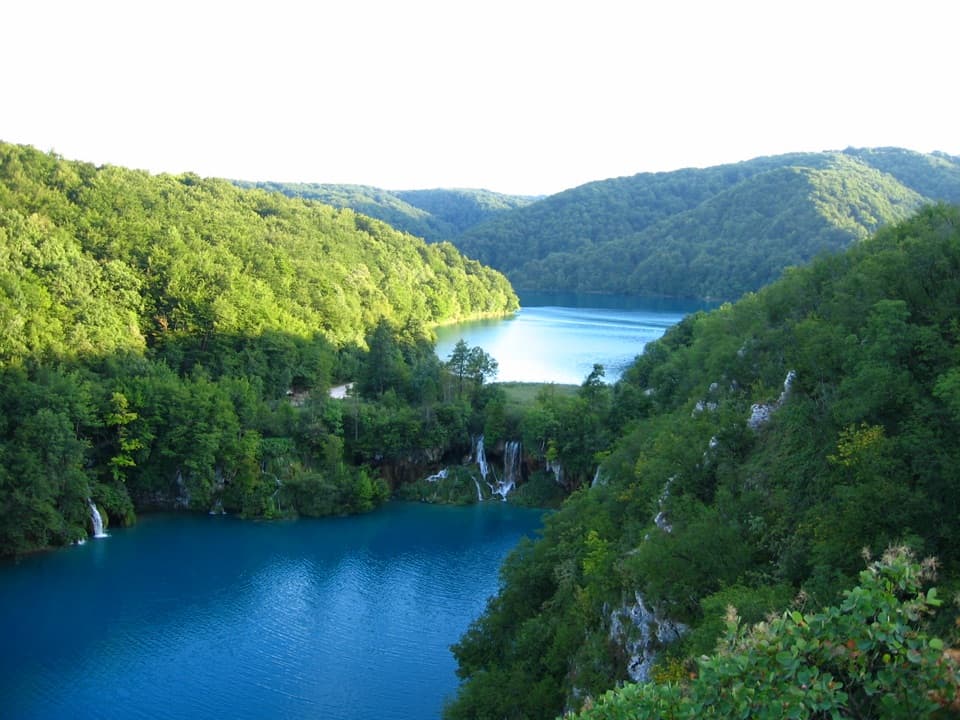 ModerateK1 Program16.5 km · 7 hr · 22 km awayA full lake circuit with waterfalls, wooded shores, and one boat ride.
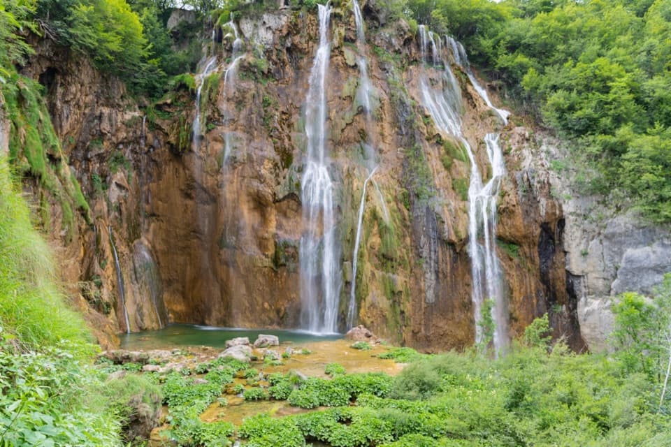 EasyProgram B: Lower Lakes Loop4 km · 3.5 hr · 22 km awayLower Lakes waterfalls, a 4 km walk, and a boat across Kozjak.
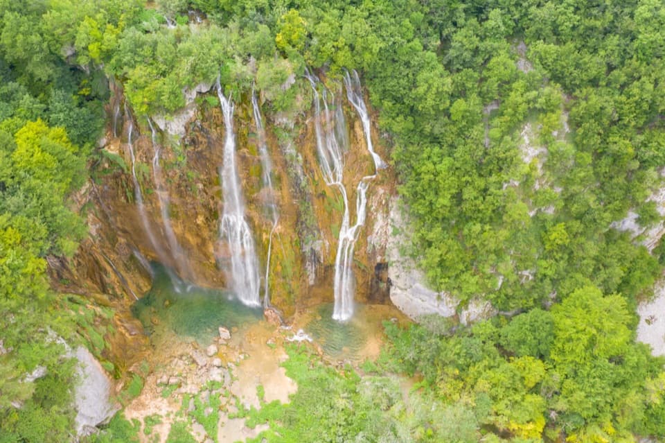 EasyProgram A Loop3.5 km · 2.5 hr · 22 km awayFour lakes, Croatia’s largest waterfall, and a climb above the canyon.
 ModerateProgram C: Lower and Upper Lakes8 km · 4.5 hr · 22 km awayLower and Upper Lakes, a boat crossing, and three named waterfalls.
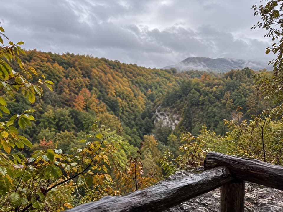 ModerateWater Route (Ruta vode)4.5 km · 1.5 hr · 23.5 km awayWalk a wooded canyon to an old mill below Drežnik’s tower.
 ChallengingČorkova Uvala Trail21 km · 7 hr · 24 km awayA full-day crossing through Plitvice’s forested high country and meadows.
 ModeratePlitvica Trail9 km · 3.8 hr · 24.1 km awayA forest route that finishes beside Plitvica Stream and Great Fall.ModerateH Program Lake Tour8.9 km · 5 hr · 24.1 km away8.9 km through both lake zones, with boat and panoramic rides.
Parkwolf’s Plitvice Lakes ranking

The audio tour guide for the drive, plus offline maps, trails, and wildlife heatmaps for when the signal drops.