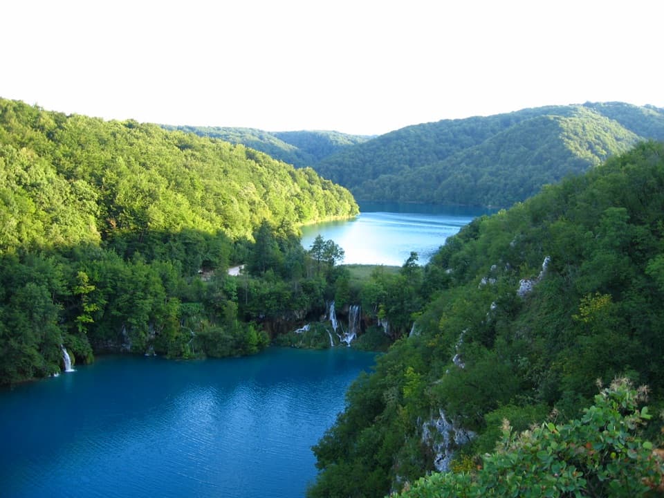
Parking
Use the park’s panoramic train to reach Labudovac stop St3. The route finishes at boat dock P3 at Kozjačka Draga, so check your selected programme’s return transport before setting out.

#10 of 15 trails in Plitvice Lakes
Plitvice Lakes National Park, KA · LS
A forest route that finishes beside Plitvica Stream and Great Fall.
Overview
Map & elevation
Plan your hike

The highest, rockiest slopes around here are a summer buffet for grizzly bears.
Plitvice Lakes Tour Guide
Parkwolf is a GPS audio tour guide for Plitvice Lakes National Park. As you drive, it chimes in with what’s ahead: hidden gems, upcoming stops, history, geology, and wildlife, right through your car’s speakers.
Recorded for this area
Black River on Velika Poljana“Black River Steak and Pasta House is coming up on Velika Poljana, near Entrance Two. Stop here if you want a full sit-down meal, with steak or handmade pasta as the main draw.”
Plays on the road 2.1 km from the trailhead in the Parkwolf Plitvice Lakes Tour Guide.
More stories near here in the app
“Fantastic app with many points of information… It’s great to just turn on while you’re driving and it gives you an audio tour of the national Park. We love it!!!!”


Trail guide
The Plitvica Trail is a 9 km one-way forest hike from Labudovac panoramic train stop St3 to boat dock P3 at Kozjačka Draga. It crosses forest and mountain meadows, then follows Plitvica Stream downstream to Great Fall. The mapped stage times add up to 3 hours 20 minutes; allow about 3½–4 hours if you stop at the boards and waterfall. The end is not back at the start, so sort out your return before setting off.
From St3 to point 1 is 3.2 km, about 1 hour 20 minutes, along the shared forest approach. At point 1, take the direct 3.6 km route to point 3. The longer branch via point 2 leads to Čorkova Uvala and belongs to a different, 21 km itinerary. Small educational boards and resting places are marked along these forest routes.
From point 3, the final 2.3 km follows Plitvica Stream downstream to Great Fall and the P3 dock. This is the trail’s most distinctive finish: small cascades thread through the greenery before the route reaches the water. P3 is a boat dock at Kozjačka Draga, so plan how you’ll get back across the park.
The walk is long and the terrain varies. A 25-point elevation sample suggests about 290 m of cumulative ascent, with a high point near 905 m before the trail descends to P3. Treat the climb as an estimate; no detailed grade or footing breakdown is published for this route. Expect a forest hike with meadow openings, not a level boardwalk.
The park describes bear, wolf, roe deer, red deer, lynx and wildcat habitat in these forests and meadows. You’re more likely to notice tracks than to see a large animal, and sightings aren’t promised. The interpretation boards cover forest habitats and local historical and cultural sights; listen for woodpeckers and other birds along the way.
You need valid park entry. St3 is a panoramic train stop, and P3 is the boat dock; check that your selected transport programme gets you to the start and back from the finish. Stay on marked routes, and don’t start in snow, heavy rain, thunderstorms or strong winds. Dogs are allowed on leash, including on park boats and trains.
Wildlife
 20 sightingsBeaverMost seen around 7 PMSighting map
 29 sightingsGrey HeronMost seen around 7 AMSighting map
 14 sightingsGreat CormorantMost seen around 7 AMSighting map
 84 sightingsMerganserMost seen around 9 AMSighting map
 13 sightingsDipperMost seen around 8 AMSighting map
 201 sightingsMallardMost seen around 5 PMSighting map
Sighting maps show where each species has been reported across Plitvice Lakes. Wildlife moves, so no sighting is guaranteed.
Keep exploring
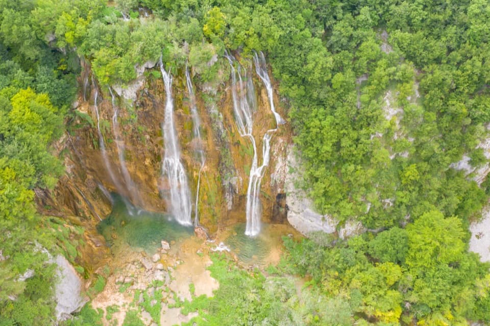 ModerateH Program Lake Tour8.9 km · 5 hr · At the trailhead8.9 km through both lake zones, with boat and panoramic rides.
 ChallengingČorkova Uvala Trail21 km · 7 hr · 0.1 km awayA full-day crossing through Plitvice’s forested high country and meadows.
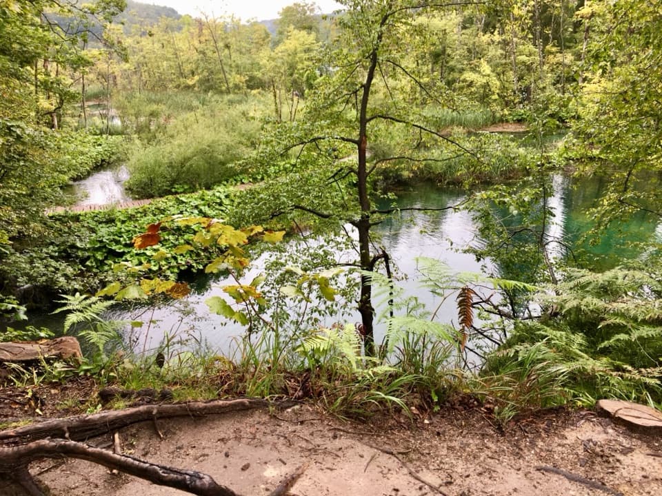 ModerateK2 Program Loop17.5 km · 7 hr · 1.9 km awayA full day linking both lake shores, waterfalls and a boat crossing.
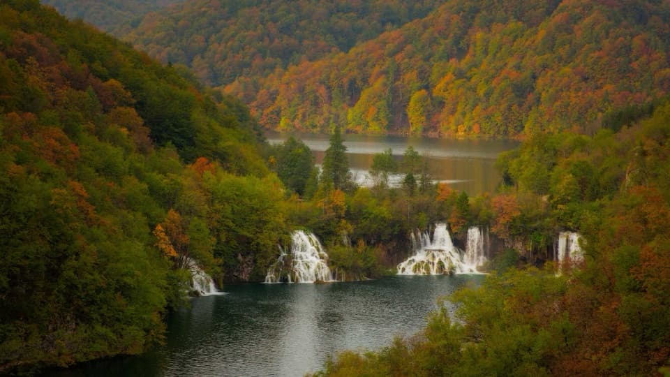 ModerateProgram F: Lower Lakes Loop4.6 km · 3.5 hr · 1.9 km awayA boat, waterfall canyon, and steep climb make one varied half-day.
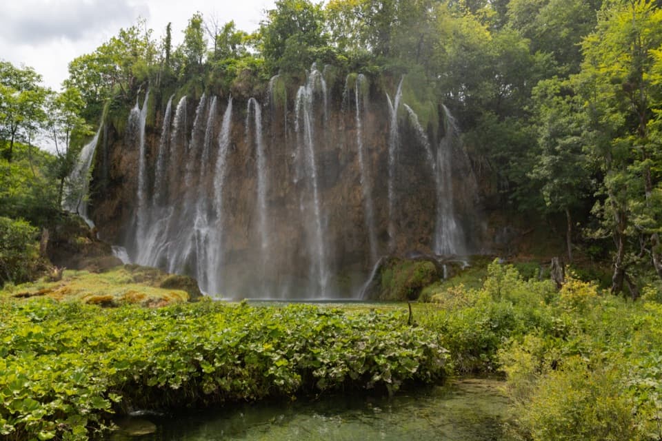 ModerateProgramme E5.1 km · 2.5 hr · 1.9 km awayUpper Lakes waterfalls, with a boat crossing and road-train return.
 ModerateVia Dinarica HR-G-08: East Lika17.2 km · 5.8 hr · 2.3 km awayCross the Medveđak ridge on a long one-way border stage.
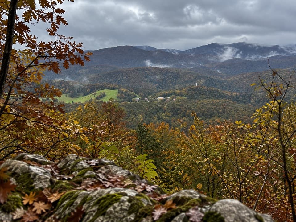 ModerateMedveđak Trail 18.2 km · 3 hr · 2.4 km awayA wooded ridge traverse from Entrance 2 to Entrance 1.
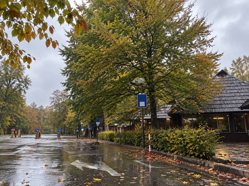 ModerateMedveđak Trail 25.4 km · 1.8 hr · 2.5 km awayA karst ascent from point 2 to the Turčić viewpoint.
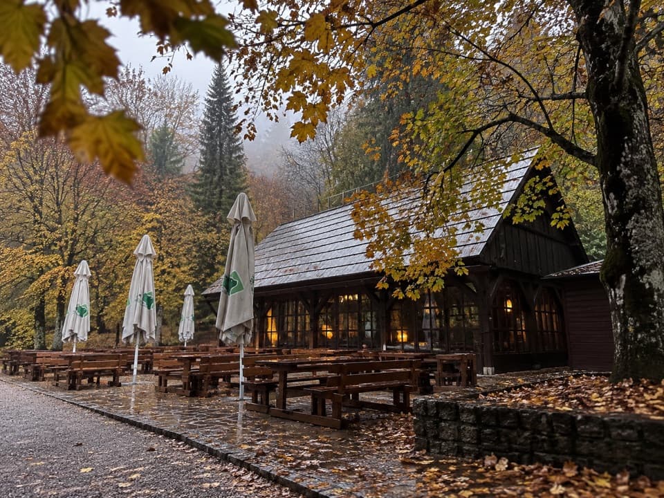 Food · At the trailheadLabudovac BuffetA shaded sandwich stop beside the highest of the Upper Lakes.
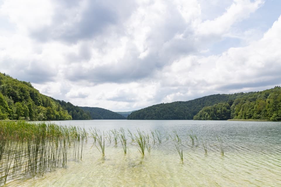 Sight · 0.2 km awayProšćansko LakeA wooded lake at the far end of the Upper Lakes circuit.
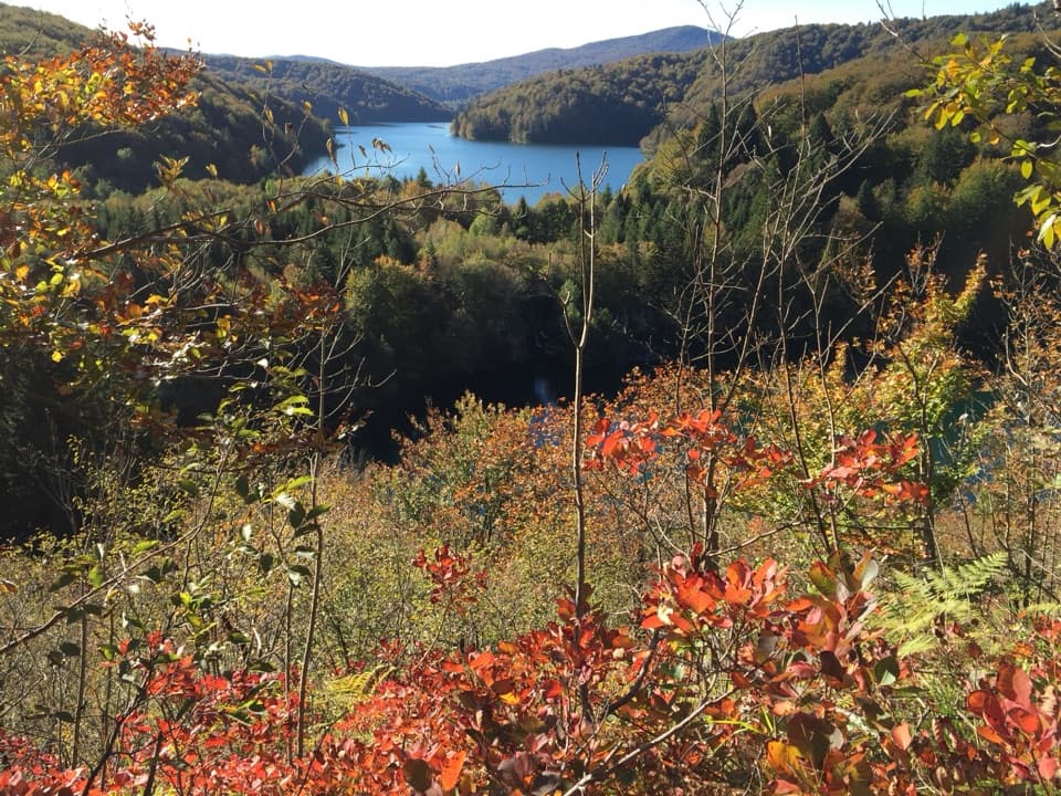 Sight · 0.5 km awayTomićevo Pogledalo ViewpointClimb for a bird's-eye look over Prošćansko and the Upper Lakes.
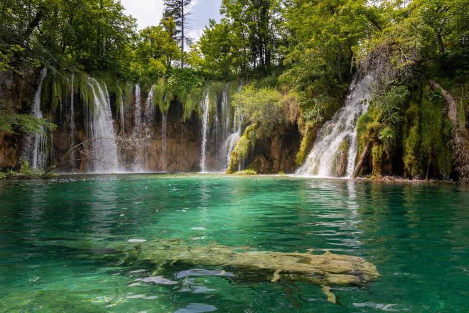 Sight · 0.9 km awayGalovački BukTiered falls spill into a clear turquoise pool on the Upper Lakes.
 Sight · 0.9 km awayMali PrštavacA close-up waterfall stop with spray along the Upper Lakes walk.
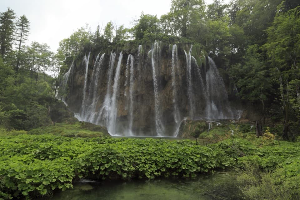 Sight · 1 km awayVeliki PrštavacA broad, mossy cascade on the Upper Lakes circuit.
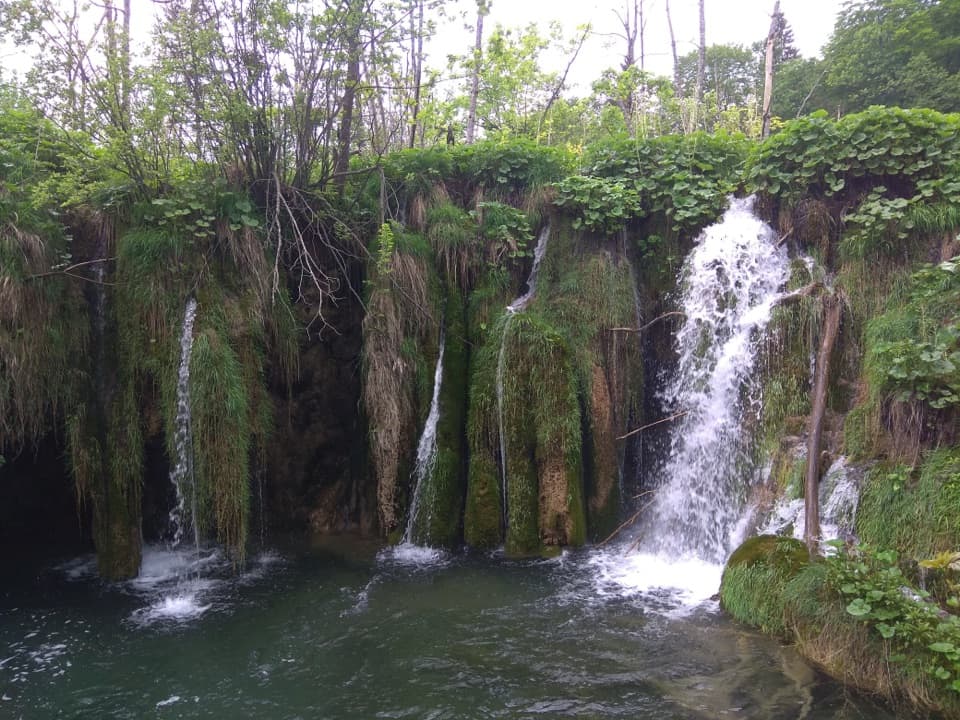 Sight · 1.5 km awayKozjački SlapoviA small, mossy cascade worth a pause on the Upper Lakes walk.
 Sight · 1.7 km awayKozjak LakeA boat crossing makes the largest lake part of the walk.
Parkwolf’s Plitvice Lakes ranking

The audio tour guide for the drive, plus offline maps, trails, and wildlife heatmaps for when the signal drops.