Parking
Start at Entrance 1 (north entrance); the paid visitor lot is beside the entrance and ticket office. A public bus stop is nearby.
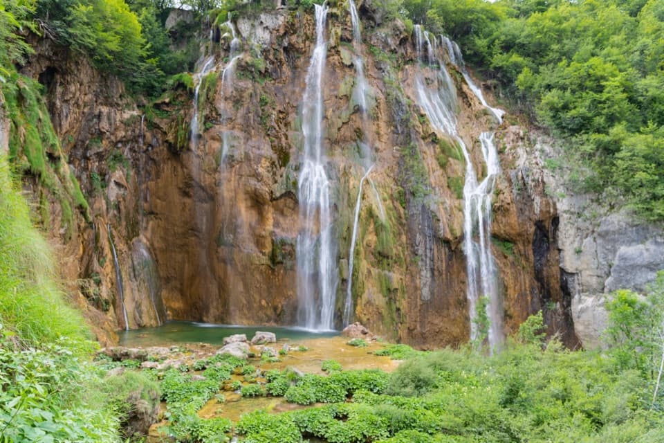
#7 of 15 trails in Plitvice Lakes
Plitvice Lakes National Park, KA · LS
Lower Lakes waterfalls, a 4 km walk, and a boat across Kozjak.
Overview
Program B is a 4 km circuit from Entrance 1 through the Lower Lakes to Veliki Slap and Sastavci, then back around Kozjak by electric boat, the park’s panoramic vehicle, and a final walk along the east canyon rim. The park allows 3–4 hours. The 4 km is walking distance; the boat and vehicle rides are required parts of the circuit, not extra walking. I’d choose it if you want the Lower Lakes’ biggest cascades and a lake crossing in one visit, without doing every shoreline section on foot. Check the day’s route board before you start because the boat and vehicle handoff can change the order of the return.
 Parkwolf’s verdictIs Program B for you?
Map & elevation
Plan your hike

The highest, rockiest slopes around here are a summer buffet for grizzly bears.
Plitvice Lakes Tour Guide
Parkwolf is a GPS audio tour guide for Plitvice Lakes National Park. As you drive, it chimes in with what’s ahead: hidden gems, upcoming stops, history, geology, and wildlife, right through your car’s speakers.
Recorded for this trailhead
Entrance 1 and the Lower Lakes“You're approaching Entrance One, the starting point for the Lower Lakes canyon. Just beyond the ticket gate, the overlook gives you the broad view of Veliki Slap and the smaller cascades below.”
Plays as you drive up to this trailhead in the Parkwolf Plitvice Lakes Tour Guide.
More stories near here in the app
“Fantastic app with many points of information… It’s great to just turn on while you’re driving and it gives you an audio tour of the national Park. We love it!!!!”


Trail guide
From the north entrance, the path drops into a limestone canyon and follows pools, cascades and lakes on wooden boardwalks. Short stair sections and compacted paths link the boards as they move between water levels. The named lakes on this route include Novakovića Brod, Kaluđerovac, Gavanovac and Milanovac. You keep meeting water at close range: flowing over low tufa dams, spilling beside the path, then gathering in deeper green pools. This is a managed visitor route with lots to look at, but the boardwalks and stairs make it uneven underfoot rather than a smooth promenade.
Veliki Slap, the Great Waterfall, is the main stop and the largest waterfall in Croatia. The route also reaches Sastavci, where several smaller falls step into the canyon below. Near the main waterfall, narrow boards can slow down when visitor groups bunch together, so leave time to pause instead of treating this as a quick photo stop. For a picture that shows the scale, include the lower cascades and pool beneath the main drop; a tight crop of the rock face loses the way the water steps down the canyon.
The electric boat gives your legs a break and a different view of the park. Look for Štefanijin Islet in the middle of Kozjak, with wooded hills and the canyon around it. The return includes the park’s panoramic vehicle and a walk along the upper east side of the canyon back to Entrance 1. These rides are included in the entrance ticket. The exact transfer sequence and stops were described differently across route materials, so use the current park map and on-site signs for where to board and rejoin the path.
The lakes sit in a former river valley, where calcium-rich water built porous tufa barriers that now hold one lake above the next. The park counts 16 larger named lakes, linked by waterfalls and smaller basins; those barriers still grow and reshape the flow. Kozjak itself was once divided by a tufa dam with a waterfall. About 400 years ago, rising water submerged the dam and joined the two lakes, which is why the boat now crosses one broad lake.
Start at Entrance 1, the north entrance. Paid visitor parking is beside both main entrances, and a public bus stop is close to Entrance 1. The park map marks toilets and food services at Entrance 1 and around the P3 lake stop, useful places to pause during a three-to-four-hour visit. Dogs are allowed on a leash throughout the park, including the boat and panoramic vehicle. Swimming is prohibited. Expect repeated stairs and narrow boardwalk passages, and check current transport service before setting out.
Wildlife
 20 sightingsBeaverMost seen around 7 PMSighting map
 29 sightingsGrey HeronMost seen around 7 AMSighting map
 14 sightingsGreat CormorantMost seen around 7 AMSighting map
 84 sightingsMerganserMost seen around 9 AMSighting map
 13 sightingsDipperMost seen around 8 AMSighting map
 201 sightingsMallardMost seen around 5 PMSighting map
Sighting maps show where each species has been reported across Plitvice Lakes. Wildlife moves, so no sighting is guaranteed.
Keep exploring
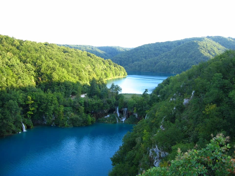 ModerateK1 Program16.5 km · 7 hr · At the trailheadA full lake circuit with waterfalls, wooded shores, and one boat ride.
 ModerateProgram C: Lower and Upper Lakes8 km · 4.5 hr · At the trailheadLower and Upper Lakes, a boat crossing, and three named waterfalls.
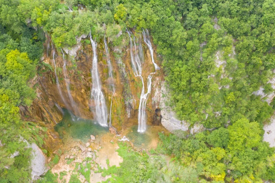 EasyProgram A Loop3.5 km · 2.5 hr · At the trailheadFour lakes, Croatia’s largest waterfall, and a climb above the canyon.
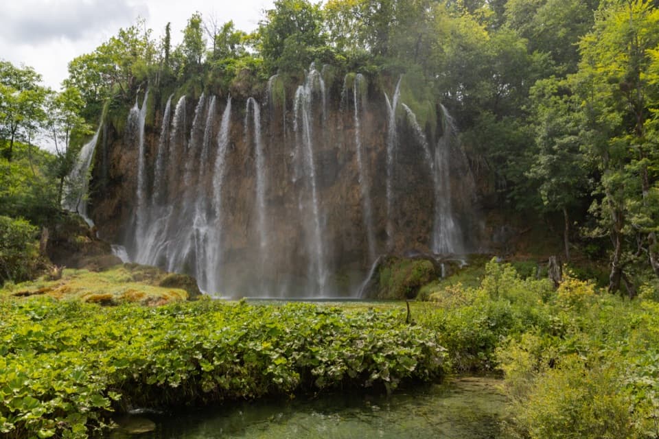 ModerateProgramme E5.1 km · 2.5 hr · 2.6 km awayUpper Lakes waterfalls, with a boat crossing and road-train return.
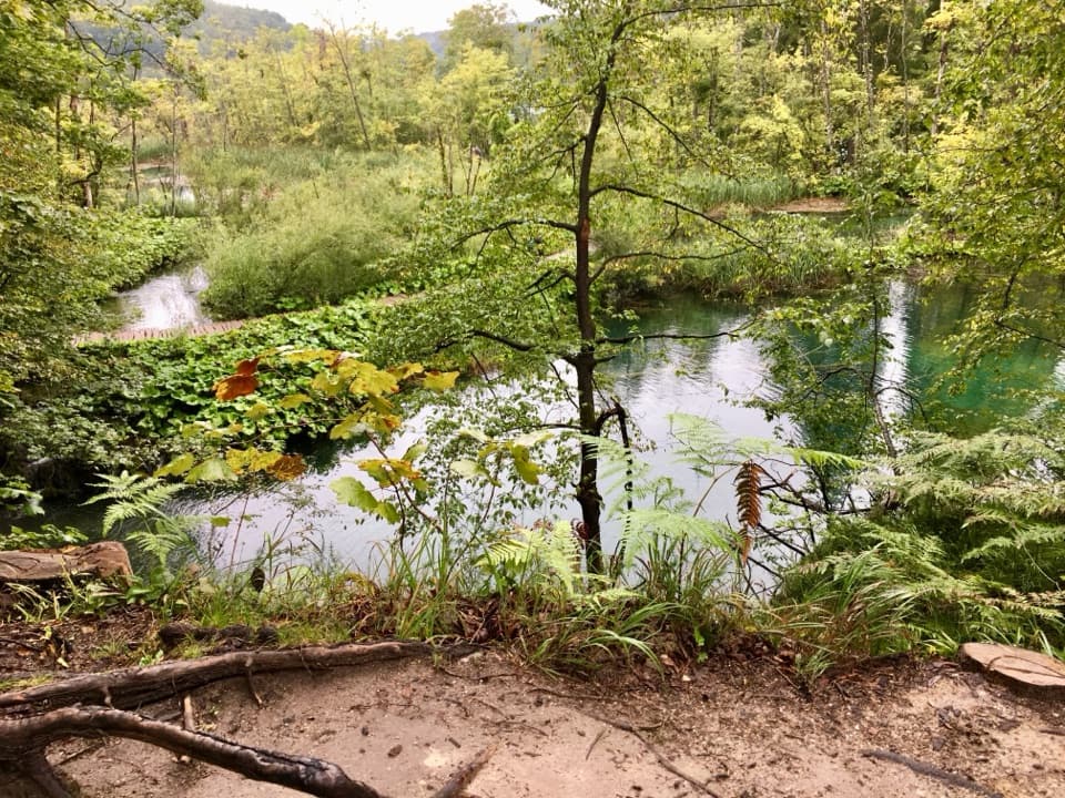 ModerateK2 Program Loop17.5 km · 7 hr · 2.6 km awayA full day linking both lake shores, waterfalls and a boat crossing.
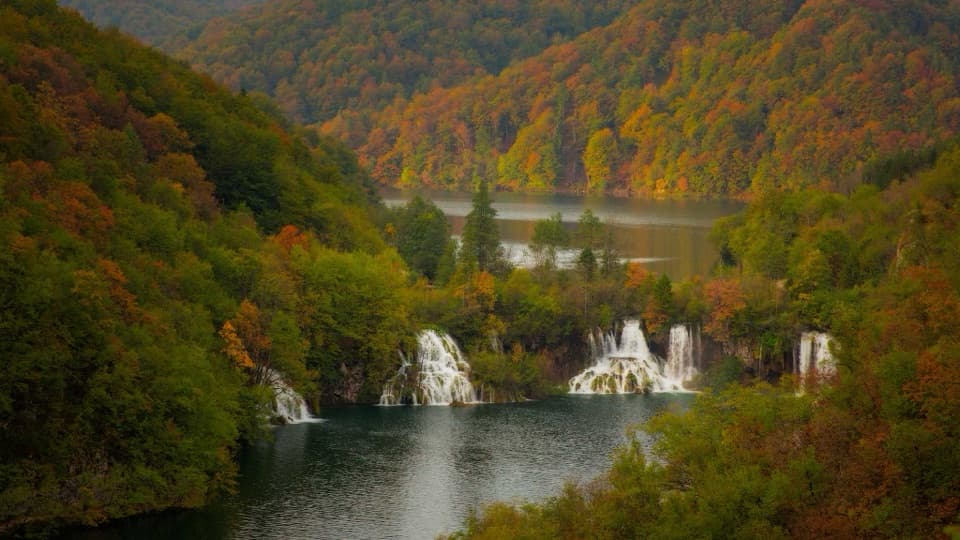 ModerateProgram F: Lower Lakes Loop4.6 km · 3.5 hr · 2.6 km awayA boat, waterfall canyon, and steep climb make one varied half-day.
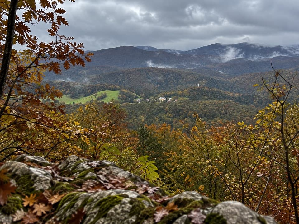 ModerateMedveđak Trail 18.2 km · 3 hr · 2.6 km awayA wooded ridge traverse from Entrance 2 to Entrance 1.
 ModerateVia Dinarica HR-G-08: East Lika17.2 km · 5.8 hr · 2.6 km awayCross the Medveđak ridge on a long one-way border stage.
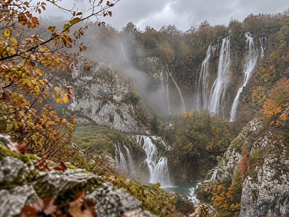 Entrance station · At the trailheadEntrance 1Start at the Lower Lakes’ postcard view, then choose your route.
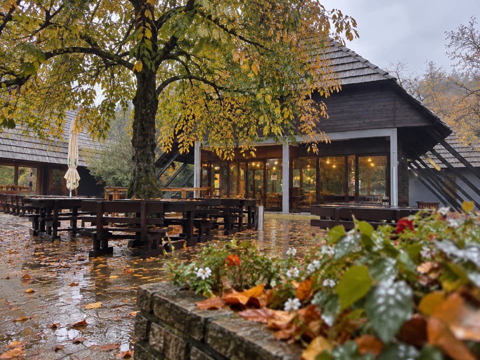 Food · At the trailheadBuffet SlapA shady bite a few steps from Entrance 1.
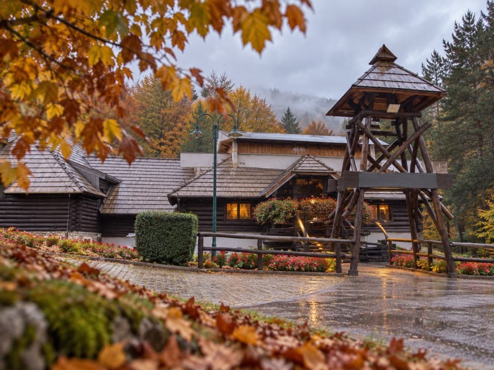 Restaurant · 0.2 km awayLička Kuća RestaurantA Lika meal beside Entrance 1, with lamb cooked under the bell.
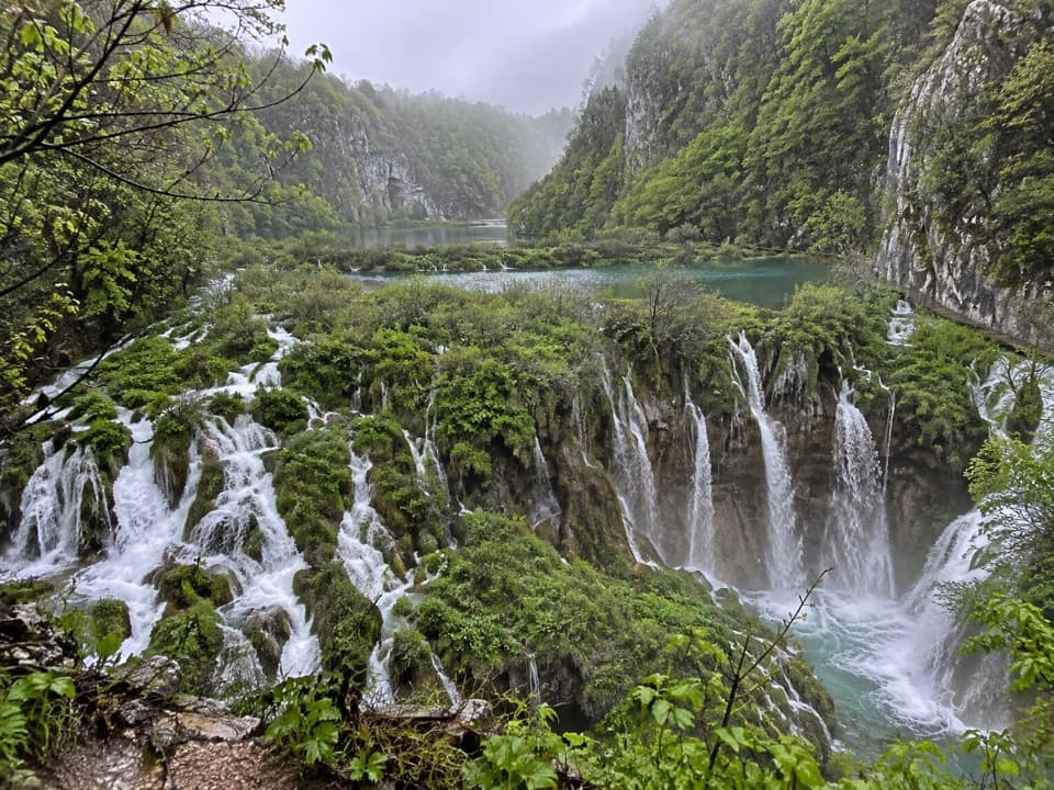 Sight · 0.3 km awaySastavci WaterfallsWhere the Lower Lakes and Plitvica stream form the Korana.Sight · 0.4 km awayVeliki SlapAn upper canyon view, then a close approach to the main falls.
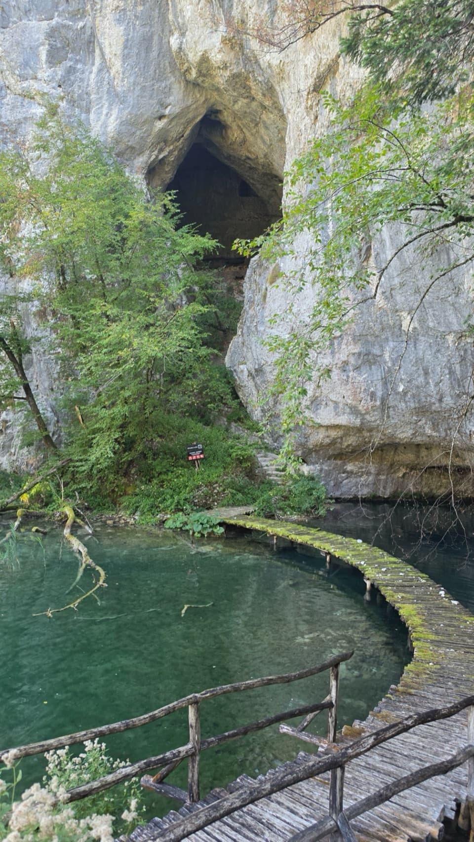 Sight · 0.6 km awayŠupljara CaveA 68 m cave with three halls in the Lower Lakes canyon.
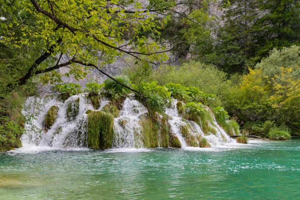 Sight · 0.6 km awayGreat CascadesA boardwalk pass beside small falls in a limestone canyon.
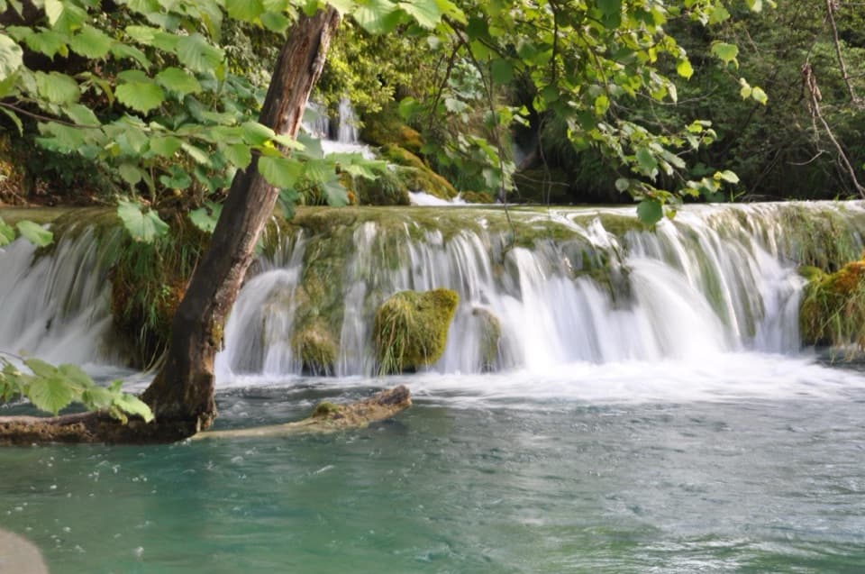 Sight · 0.8 km awayMilka Trnina WaterfallsA waterfall named for a singer whose benefit helped fund lake bridges.
Parkwolf’s Plitvice Lakes ranking
The audio tour guide for the drive, plus offline maps, trails, and wildlife heatmaps for when the signal drops.