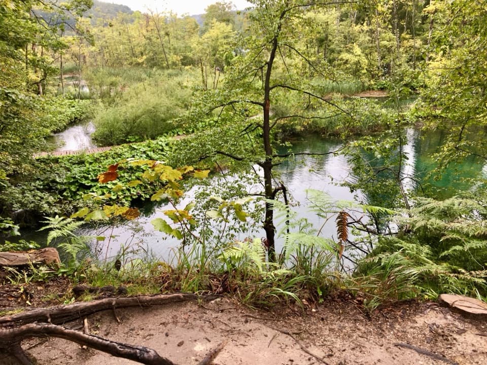
Parking
Start at the Drežnik Old Town (Stari grad Drežnik) access on the east end. A dedicated trail parking area was not verified; follow local signs and use only signed or permitted parking.
Plitvice Lakes National Park, KA · LS
Walk a wooded canyon to an old mill below Drežnik’s tower.
Overview
Map & elevation
Plan your hike

The highest, rockiest slopes around here are a summer buffet for grizzly bears.
Plitvice Lakes Tour Guide
Parkwolf is a GPS audio tour guide for Plitvice Lakes National Park. As you drive, it chimes in with what’s ahead: hidden gems, upcoming stops, history, geology, and wildlife, right through your car’s speakers.
More stories near here in the app
“Fantastic app with many points of information… It’s great to just turn on while you’re driving and it gives you an audio tour of the national Park. We love it!!!!”


Trail guide
Water Route (Ruta vode) is a compact out-and-back from Drežnik Old Town into the Korana canyon, following a gravel footway toward Camp Korana. Plan on about 4.5 km (2.8 mi) round trip and roughly 1.5 hours. The park’s 4.5 km figure does not say whether it is one way or return; the mapped corridor is about 2.1 km, plus the short Old Town approach, so 4.5 km total is the best fit. I’d choose it for the canyon and old mill if you’re already near Drežnik, not as a substitute for the park’s lake walks.
The castle-side access drops toward the stream on steep, rocky ground, then the route follows a gravel corridor through the wooded canyon. Rocks beside the river can make it difficult to continue upstream, and wet or high water makes footing less forgiving. Treat this as an out-and-back and turn around where the mapped path ends rather than forcing a way over boulders. The route’s exact signs and the camp-side connection are not fully established, so follow posted local directions and return the way you came unless an onward trail is clearly marked.
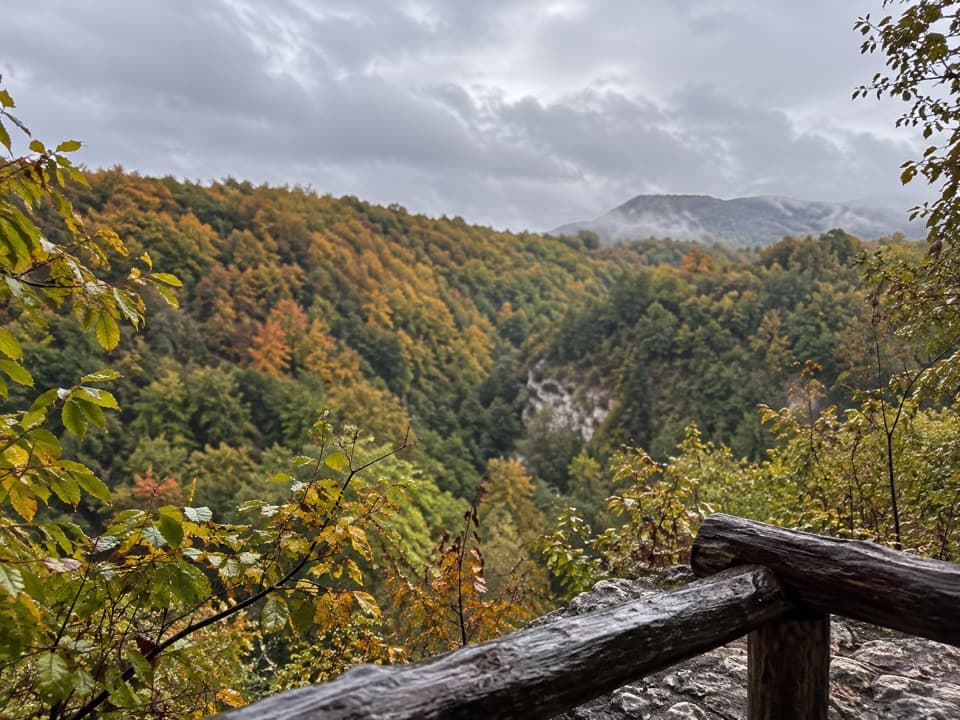
The Korana once powered many small mills, and the walk passes an old mill site. A lookout opens over the river and canyon; it is the short route’s clearest payoff. Water levels change the feel of the walk: the river can shrink or disappear in late summer, while wetter periods can leave higher water and slick banks. The lookout is the best place to pause for the layered canyon view, with the timber rail framing the ravine.
The walk starts below Drežnik Old Town, a restored defensive tower documented from the 12th century. Its overlook makes a good separate stop before or after the descent. Refreshments are available in Drežnik Grad and Čatrnja, away from the riverside path. Dogs are allowed on leash. Start at the Drežnik Old Town access; a dedicated trail parking area, toilets, drinking water and route fees were not verified, so check local signs and use only permitted parking.
Wildlife
 20 sightingsBeaverMost seen around 7 PMSighting map
 29 sightingsGrey HeronMost seen around 7 AMSighting map
 14 sightingsGreat CormorantMost seen around 7 AMSighting map
 84 sightingsMerganserMost seen around 9 AMSighting map
 13 sightingsDipperMost seen around 8 AMSighting map
 201 sightingsMallardMost seen around 5 PMSighting map
Sighting maps show where each species has been reported across Plitvice Lakes. Wildlife moves, so no sighting is guaranteed.
Keep exploring
 ModerateProgram C: Lower and Upper Lakes8 km · 4.5 hr · 6.2 km awayLower and Upper Lakes, a boat crossing, and three named waterfalls.
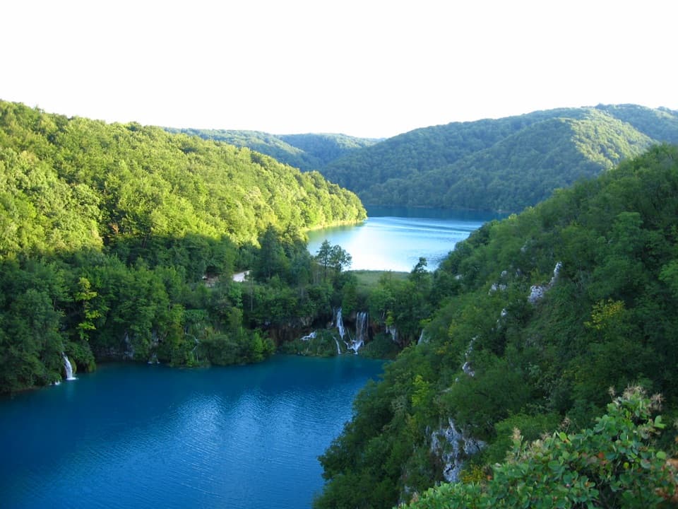 ModerateK1 Program16.5 km · 7 hr · 6.2 km awayA full lake circuit with waterfalls, wooded shores, and one boat ride.
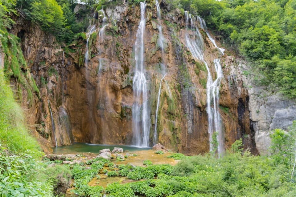 EasyProgram B: Lower Lakes Loop4 km · 3.5 hr · 6.2 km awayLower Lakes waterfalls, a 4 km walk, and a boat across Kozjak.
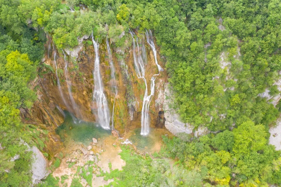 EasyProgram A Loop3.5 km · 2.5 hr · 6.2 km awayFour lakes, Croatia’s largest waterfall, and a climb above the canyon.
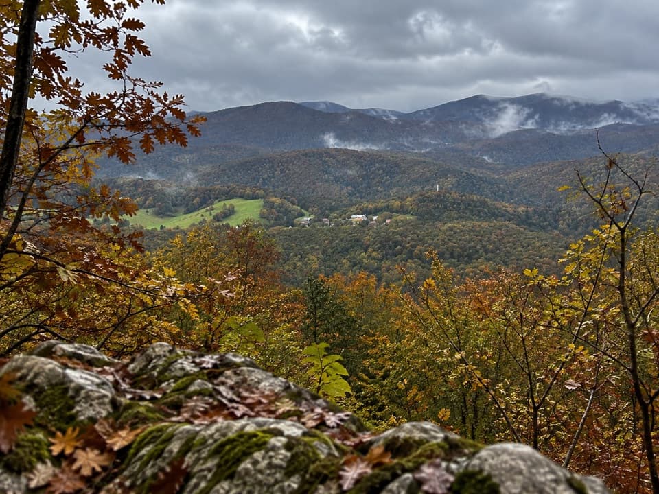 ModerateMedveđak Trail 18.2 km · 3 hr · 7.5 km awayA wooded ridge traverse from Entrance 2 to Entrance 1.
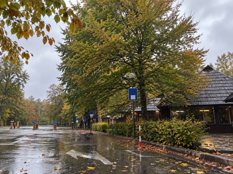 ModerateMedveđak Trail 25.4 km · 1.8 hr · 7.5 km awayA karst ascent from point 2 to the Turčić viewpoint.
 ModerateVia Dinarica HR-G-08: East Lika17.2 km · 5.8 hr · 7.6 km awayCross the Medveđak ridge on a long one-way border stage.
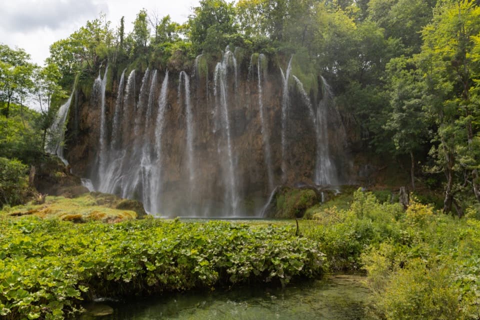 ModerateProgramme E5.1 km · 2.5 hr · 7.9 km awayUpper Lakes waterfalls, with a boat crossing and road-train return.
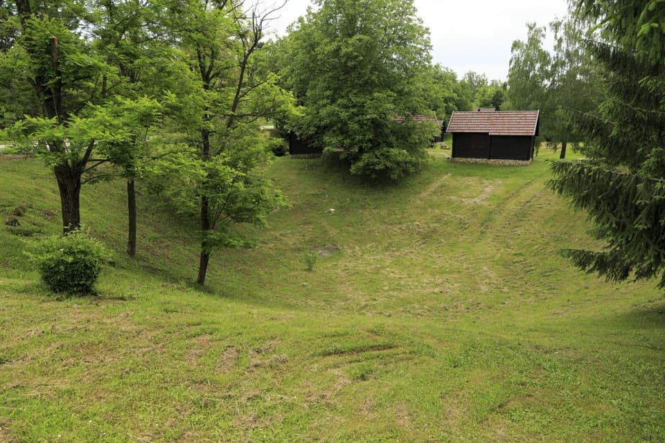 Campground · 2.2 km awayKorana CampA leafy campsite with bungalows and a two-kilometre fortress walk.
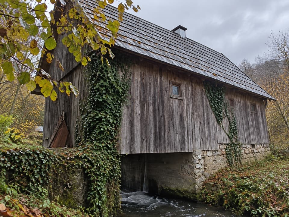 Sight · 4.3 km awayŠpoljarić Watermill and SawmillTwo traditional water-powered mills beside the Korana River
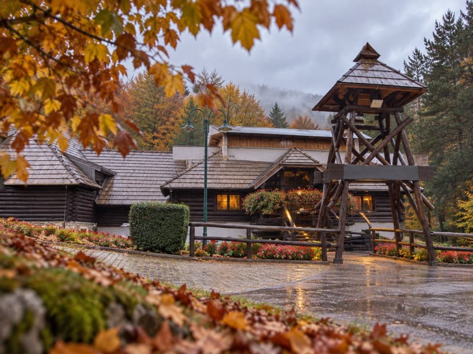 Restaurant · 6 km awayLička Kuća RestaurantA Lika meal beside Entrance 1, with lamb cooked under the bell.
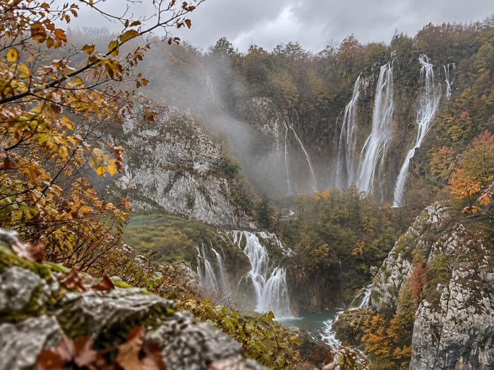 Entrance station · 6.2 km awayEntrance 1Start at the Lower Lakes’ postcard view, then choose your route.
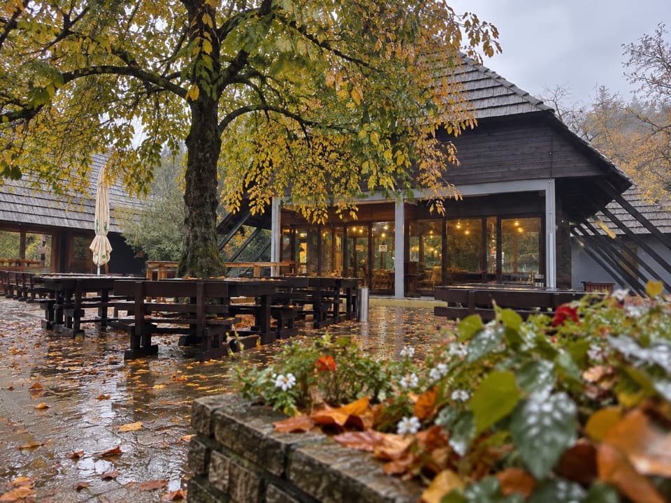 Food · 6.2 km awayBuffet SlapA shady bite a few steps from Entrance 1.
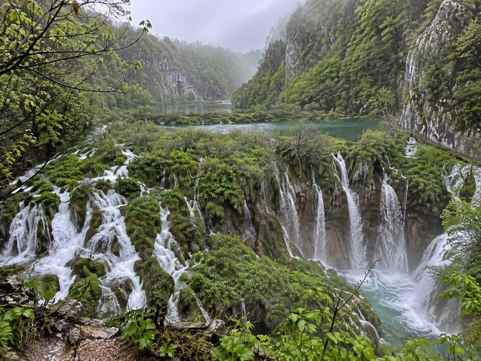 Sight · 6.5 km awaySastavci WaterfallsWhere the Lower Lakes and Plitvica stream form the Korana.
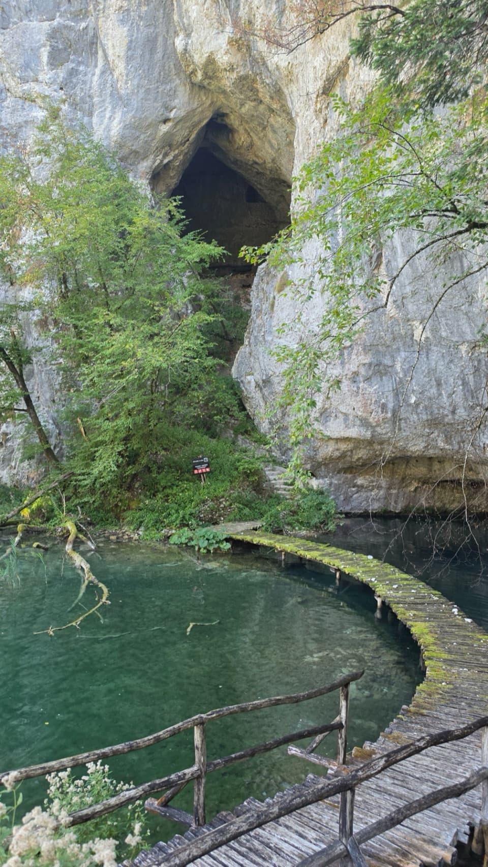 Sight · 6.6 km awayŠupljara CaveA 68 m cave with three halls in the Lower Lakes canyon.Sight · 6.6 km awayVeliki SlapAn upper canyon view, then a close approach to the main falls.
Parkwolf’s Plitvice Lakes ranking

The audio tour guide for the drive, plus offline maps, trails, and wildlife heatmaps for when the signal drops.