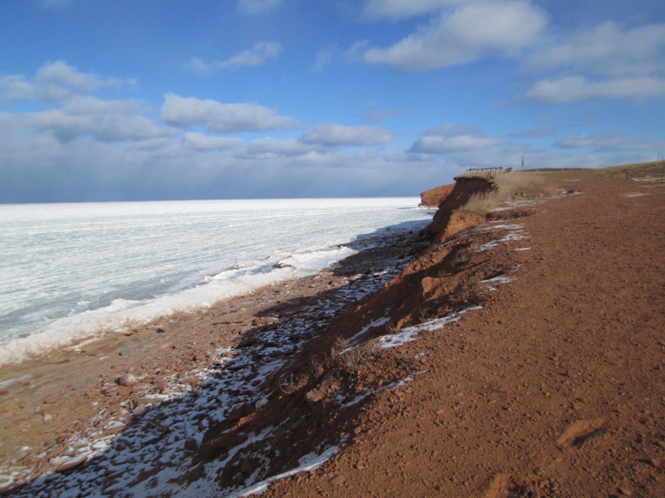
MacKenzies Brook in Prince Edward Island National Park

#8 of 19 sights in Prince Edward Island

Sight · Prince Edward Island National Park

MacKenzies Brook

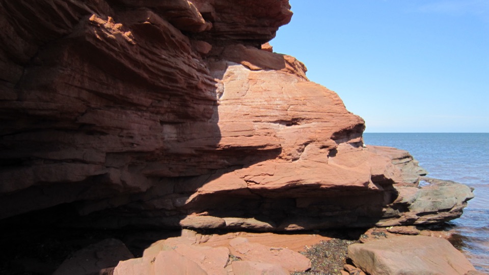
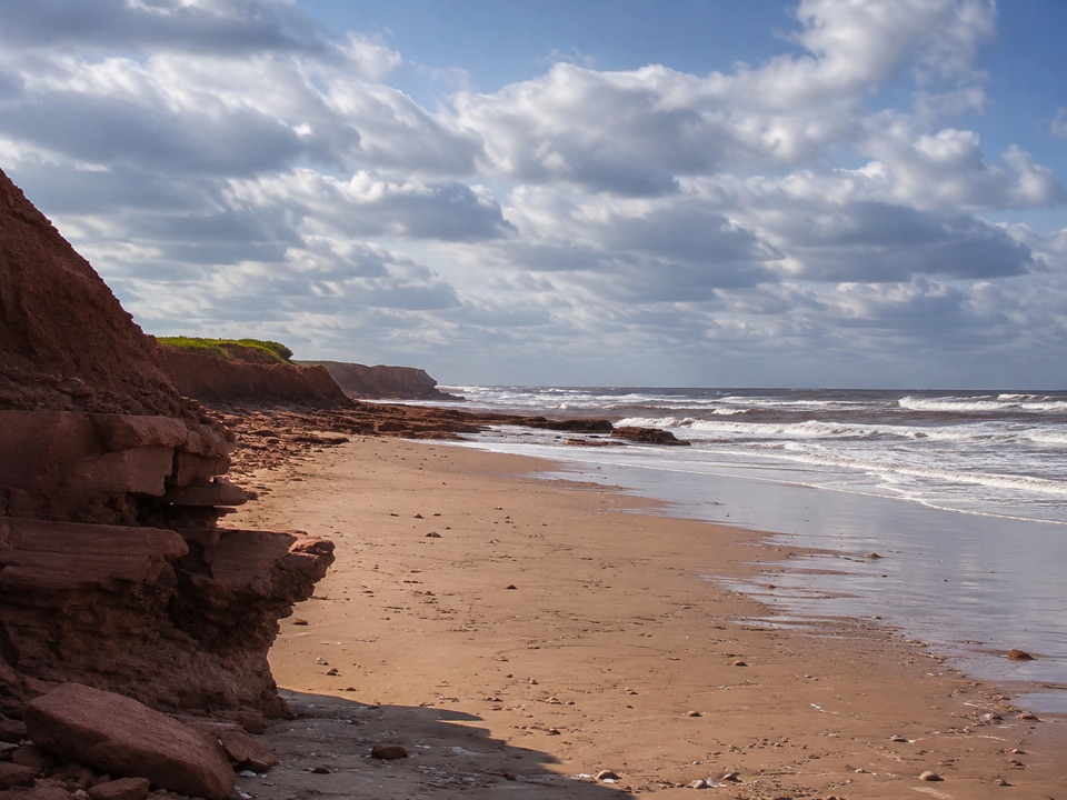
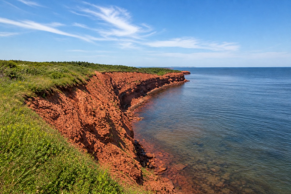
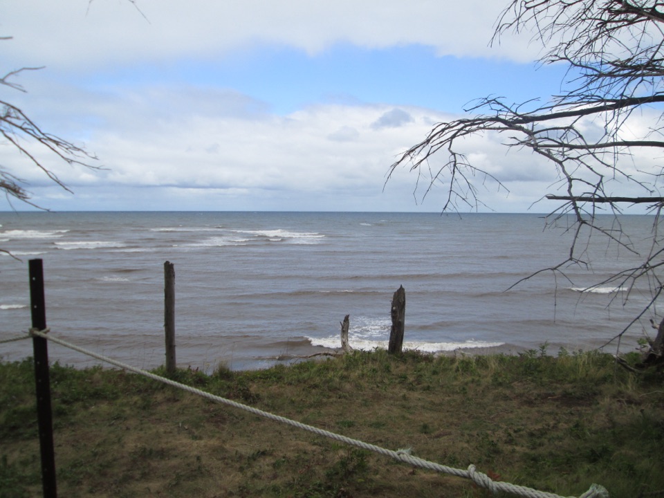
Red sandstone cliffs meet open Gulf water at a short pull-off

Photo: Wikimedia Commons
Type
Sight
Nearest trail
3 km
Audio stories
6 nearby
  • Parking

Hear the audio tour

MacKenzies and MacNeills Brooks

Overview

About MacKenzies Brook

The sandstone arch that made this spot famous in photographs and tourism material collapsed in November 2022, weakened by one storm and brought down by the next. If you have seen older images of an arch here, expect a different shoreline today. The cliffs, colour and sea views remain the reason to come.

Why stop

  • Red sandstone cliffs and open Gulf views
  • Quick roadside stop with a strong coastal photo payoff

Heads up

  • The famous sea arch is gone, so older photos are misleading
  • Unstable cliff edges and tide-sensitive shore access limit exploration
This is one of the park's cleanest looks at Prince Edward Island's red sandstone coast: rust-coloured cliffs and banks dropping to the water, with the open Gulf of St. Lawrence filling the horizon. A named brook reaches the sea here, and the grassy clifftop area beside the parking lot gives you the view within a minute or two of leaving the car. It is a short stop with a big visual payoff, which makes it easy to combine with other shoreline viewpoints along the parkway.
Parkwolf’s verdictWhy stop

Map

Where it is

Loading the Prince Edward Island map
Full map
SightMacKenzies Brook46.49619, -63.34222
Keep this map with you offline in the Parkwolf app

Plan your stop

Before you go

Best time to go

  • Late afternoon and evening light deepens the red of the sandstone; low sun across the cliff faces gives the strongest contrast.
  • Overcast days still work well for colour, since bright midday sun tends to flatten the rock.
  • Shoot from the established clifftop viewing area and along the shoreline where it is safely walkable, using the brook mouth and cliff curve as foreground.
  • Winter and shoulder seasons show the coast starkly, with ice and storm effects, and reduced daylight to plan around.


Access and parking

The parking area sits immediately east of the brook mouth on the shore parkway. It is small, and it is typically full between roughly 11 a.m. and 3 p.m. on fine summer days, so early morning or later afternoon is far easier. There is no verified food, water, restroom or other visitor service at this stop, so plan to arrive self-sufficient and use facilities at larger day-use areas.

3 active Prince Edward Island alerts

  • ClosureOceanview cliff area closed beyond signs and fencingStay out of all unmown areas beyond the signs or fencing at Oceanview (46.49951N 63.38272W), including the rocks and cliff edges.Official details
  • ClosureHomestead trails closed because bridges are outDo not use Homestead Long Loop or Homestead Trail Short loop: both trails are closed because bridges are out. - Respect all posted warnings, closures, notices and signs while using other park trails.Official details
See all 3 alerts
A park ranger sits on a dash-mounted phone, talking, as Parkwolf’s Tour Guide plays “Army Cutworm Moths: A Grizzly Bear Buffet” on Grand Loop Road below Dunraven Pass in Yellowstone
Parkwolf Tour GuideThe highest, rockiest slopes around here are a summer buffet for grizzly bears.

Prince Edward Island Tour Guide

Your drive to MacKenzies Brook, narrated.

Parkwolf is a GPS audio tour guide for Prince Edward Island National Park. As you drive, it chimes in with what’s ahead: hidden gems, upcoming stops, history, geology, and wildlife, right through your car’s speakers.

Recorded for this place

MacKenzies and MacNeills Brooks
0:00 / 0:32
“You're nearing MacKenzies Brook, a quick clifftop stop above red sandstone and the open Gulf. If you've seen an old photo of the sea arch here, that arch collapsed in November 2022 after storm damage.”

Plays as you drive up to MacKenzies Brook in the Parkwolf Prince Edward Island Tour Guide.

More stories near here in the app

  • Before the Dinosaurs
  • Cape Turner
  • Oceanview Lookoff
  • Anne in a Hat Box
  • 29 audio storiesacross Prince Edward Island’s roads, triggered by GPS as you drive
  • Wildlife heatmapsfor Bald Eagle, Osprey, Great Blue Heron, and 12 more
  • Works offlinemaps, 15 trails, 25 places, and audio download before you lose signal
  • CarPlay readysimple controls built for the drive
★★★★★
“Fantastic app with many points of information… It’s great to just turn on while you’re driving and it gives you an audio tour of the national Park. We love it!!!!”
JMJamesApp Store review
Download Parkwolf on the App StoreGet Parkwolf on Google Play

4.7 from 8,600+ ratings

Guide

More about MacKenzies Brook

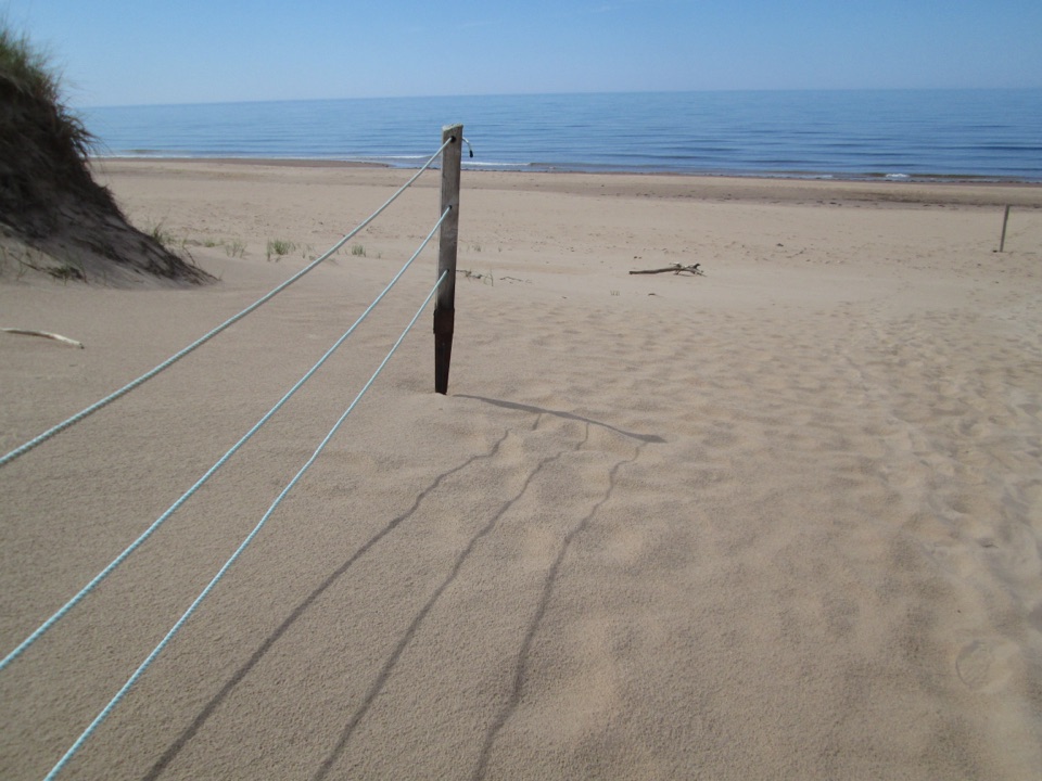
What the visit is likeClifftop viewing over red rock, sand and water, with fencing and signs at the edge zone.
  • Clifftop viewing over red rock, sand and water, with fencing and signs at the edge zone.
  • A stream mouth meeting the Gulf, with shoreline that changes shape over time.
  • Accounts from visitors describe stairs down toward the beach and a short walk to the shore, though conditions here shift with weather and erosion, so treat any beach access as something to assess on arrival rather than assume.
  • Possible wildlife interest: bank swallows nest in cavities in the sandstone, and red foxes, bald eagles, kingfishers and various seabirds use this coast. Nothing is guaranteed on a given visit.
SafetyThese cliffs are fragile and unstable, and the coast is eroding quickly under rising seas,…

These cliffs are fragile and unstable, and the coast is eroding quickly under rising seas, stronger storms and less sea ice. Edges and rocks at the base can be off-limits, and fences, ropes or signs are not an invitation to get closer. Keep well back from the top of any bank, keep children and pets close, and stay off the cliff faces. On the shore, the tide can cover the beach and cut off easy returns, so check the water level before walking out and turn back early if the strip narrows.

Wildlife

Wildlife in Prince Edward Island

All Prince Edward Island wildlife maps

Sighting maps show where each species has been reported across Prince Edward Island. Wildlife moves, so no sighting is guaranteed.

Keep exploring

Near MacKenzies Brook

See it all on the map

Trails nearby

More stops nearby

Parkwolf’s Prince Edward Island ranking

Top sights in Prince Edward Island

All 25 places
  1. 1Green Gables Heritage PlaceSight
  2. 2Greenwich Dunes BeachBeach
  3. 3Cavendish BeachBeach
  4. 4Covehead LighthouseSight
  5. 5Oceanview LookoffSight
  6. 6Brackley BeachBeach

Take Parkwolf to Prince Edward Island.

The audio tour guide for the drive, plus offline maps, trails, and wildlife heatmaps for when the signal drops.

4.7 from 8,600+ ratings

Download Parkwolf on the App StoreGet Parkwolf on Google Play