Parking
Park at the Cavendish Grove day-use access at 8780 Route 6, Cavendish. The trail leaves from the Grove parking area, which also has a washroom and picnic setting.
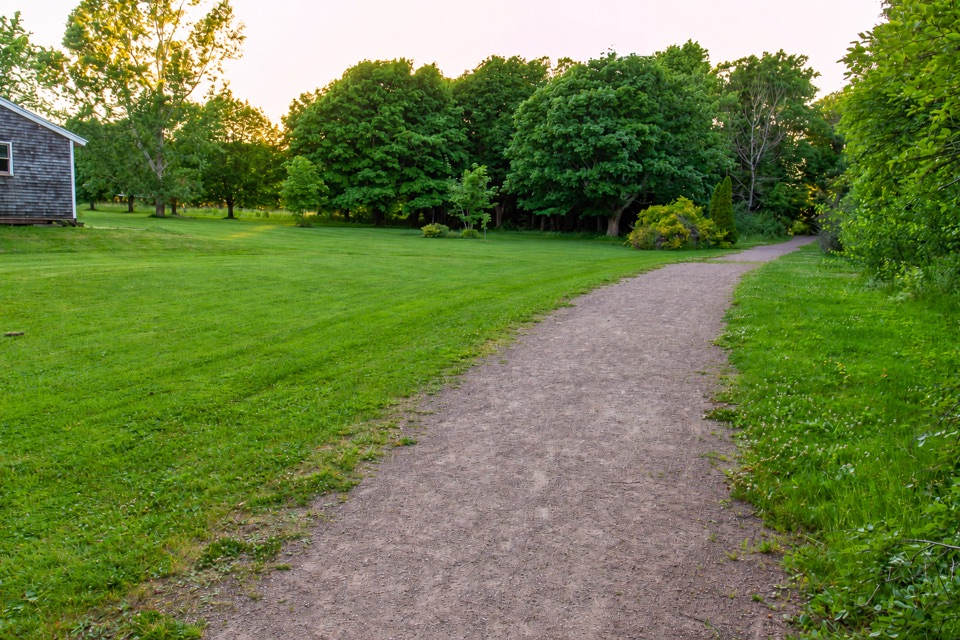
Prince Edward Island National Park, PE
A flat gravel connector through fields and woods near Cavendish Grove.
Overview
Map & elevation
Plan your hike

The highest, rockiest slopes around here are a summer buffet for grizzly bears.
Prince Edward Island Tour Guide
Parkwolf is a GPS audio tour guide for Prince Edward Island National Park. As you drive, it chimes in with what’s ahead: hidden gems, upcoming stops, history, geology, and wildlife, right through your car’s speakers.
Recorded for this trailhead
Cavendish Grove“You're coming up on Cavendish Grove, a picnic area named for its stand of sugar maples, a rarity on the island.”
Plays as you drive up to this trailhead in the Parkwolf Prince Edward Island Tour Guide.
More stories near here in the app
“Fantastic app with many points of information… It’s great to just turn on while you’re driving and it gives you an audio tour of the national Park. We love it!!!!”


Trail guide
Clark's Lane Trail is an easy, 1.2 km one-way multi-use route from Cavendish Grove into the connected trail network toward Cavendish Dunelands and Cavendish Beach. It is mainly a practical walk or bike ride rather than a destination hike. Allow about 30 minutes one way; returning by the same route takes roughly an hour.
From the Cavendish Grove access, the route follows a broad asphalt-and-packed-gravel path through the day-use area, then along fields and forest edges. It stays flat overall, with one short steep section. The open lawns and wooded stretches give the walk some variety, and the payoff is the easy link to longer beach and dune walks rather than a summit or overlook. At the junctions, keep to the Clark's Lane connection if you are heading toward the Dunelands side; Cavendish Beach Trail branches off separately.
Use the Cavendish Grove access at 8780 Route 6. The day-use area has a washroom and picnic setting. Take care at the crosswalk on Grahams Lane. Dogs are allowed on a leash. Outside the maintained season, trails are not maintained and emergency services are limited. If you want more scenery, continue into Cavendish Beach Trail or choose Cavendish Dunelands as a separate, longer walk.
Wildlife
 100 sightingsBald EagleMost seen around 7 AMSighting map
 95 sightingsOspreyMost seen around 8 AMSighting map
 67 sightingsGreat Blue HeronMost seen around 7 AMSighting map
 104 sightingsRed FoxMost seen around 7 AMSighting map
 97 sightingsSnowshoe HareMost seen around 7 AMSighting map
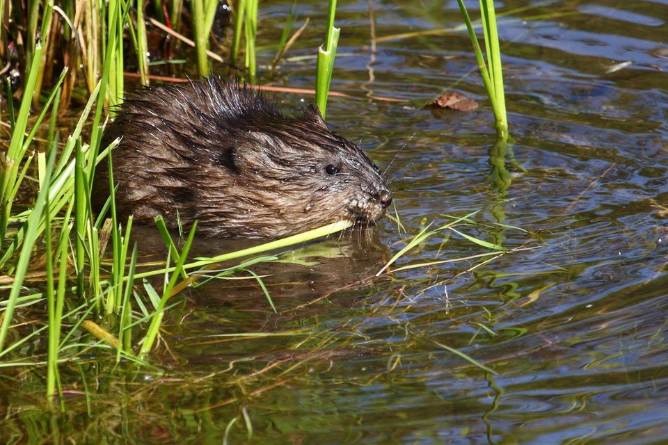 13 sightingsMuskratMost seen around 7 PMSighting map
Sighting maps show where each species has been reported across Prince Edward Island. Wildlife moves, so no sighting is guaranteed.
Keep exploring
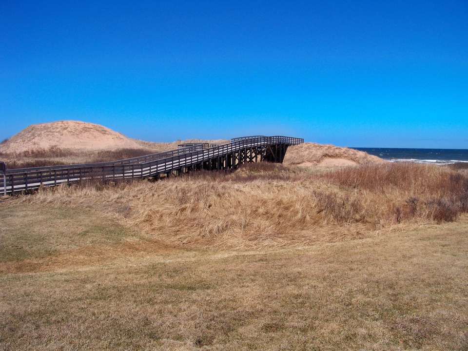 EasyCavendish Beach Trail1.1 km · 45 min · At the trailheadA short, easy path from woods to Cavendish's dunes and ocean.
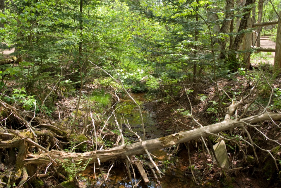 EasyHaunted Wood Trail0.9 km · 30 min · 0.8 km awayAn easy loop through the woods that inspired Anne's Haunted Wood.
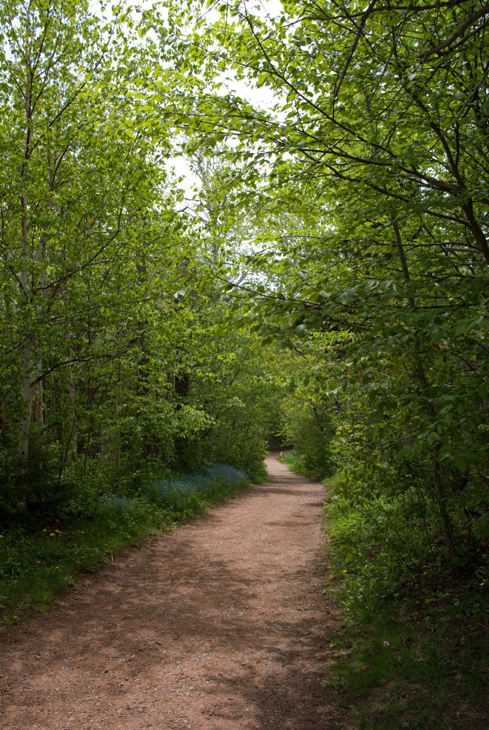 EasyBalsam Hollow Trail0.8 km · 30 min · 0.8 km awayA quiet brookside walk through the woods behind Green Gables
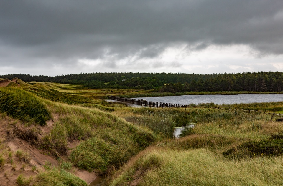 EasyCavendish Dunelands2.4 km · 1.3 hr · 1 km awayA flat coastal walk where dunes meet a floating pond boardwalk.
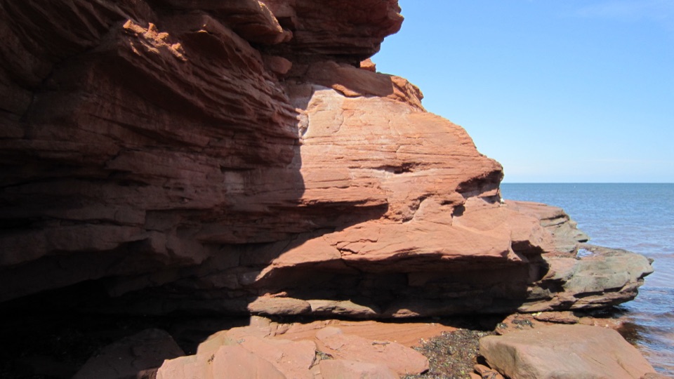 EasyGulf Shore Way West8.5 km · 2.8 hr · 1.4 km awayA smooth coastal path with red cliffs, coves, and a beach finish.
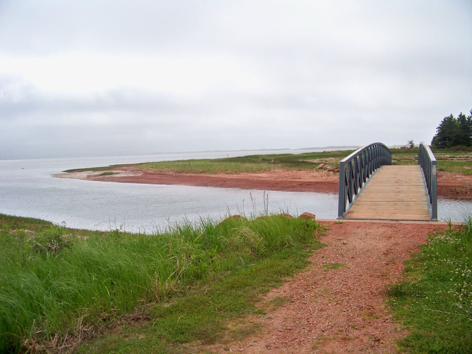 ModerateHomestead Trail - Simpson Loop6 km · 2 hr · 1.5 km awayA gentle loop through spruce, farm fields, bridges, and New London Bay.
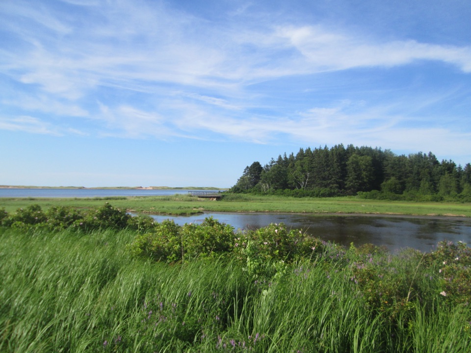 ModerateHomestead Trail - MacNeill Loop10 km · 3 hr · 1.5 km awayA long, low loop where bay views break up the farm fields.
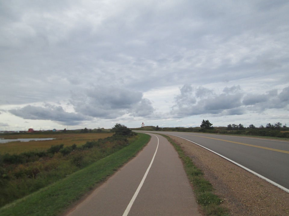 EasyGulf Shore Way East12.2 km · 2.5 hr · 16.2 km awayA flat coastal crossing between dunes, marshes, and Dalvay.
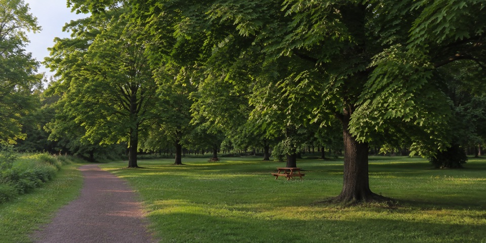 Picnic area · At the trailheadCavendish GroveSugar-maple picnic grove and groomed trails on old Rainbow Valley grounds
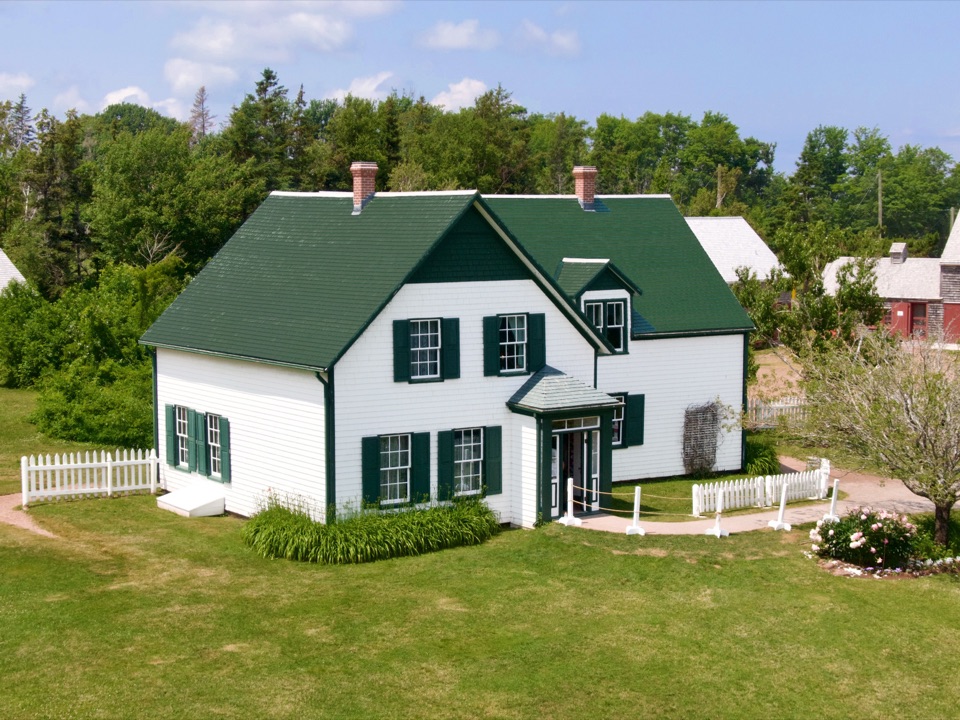 Sight · 0.7 km awayGreen Gables Heritage PlaceAn 1830s Macneill farmhouse dressed as Anne's fictional Green Gables
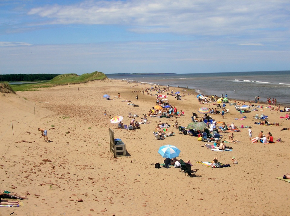 Beach · 0.9 km awayCavendish BeachRed cliffs, rolling dunes and a long boardwalk onto wide sand
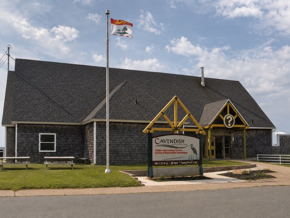 Visitor center · 0.9 km awayCavendish Visitor Information CentreMaps, local advice and free Wi-Fi just before the park entrance
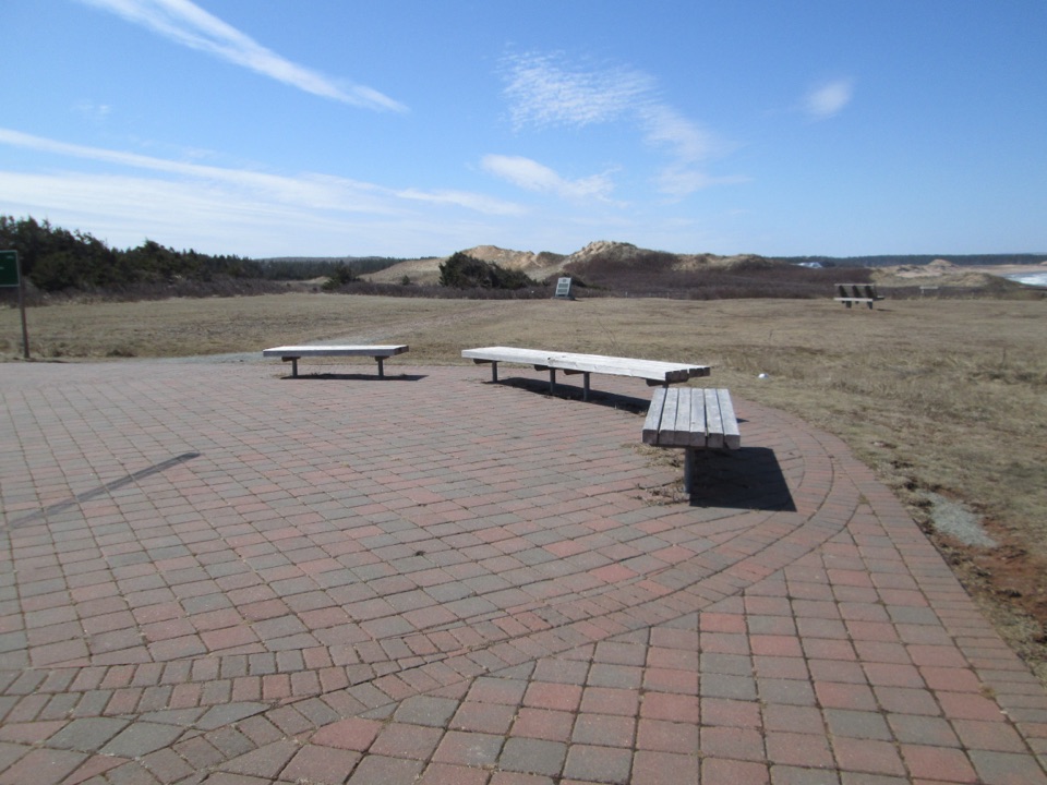 Sight · 1.3 km awayOceanview LookoffRed sandstone cliffs, Gulf horizon, and an easy paved coastal trail
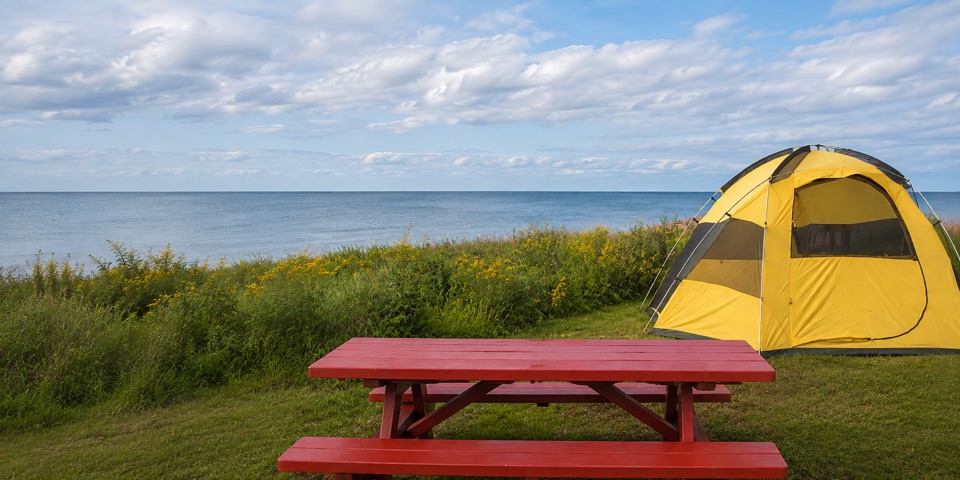 Campground · 1.6 km awayCavendish CampgroundBig seaside camping base with its own beach and trail access
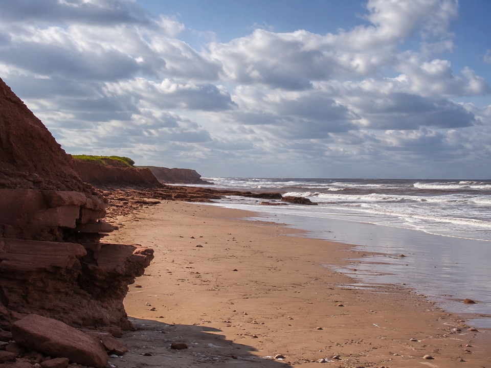 Beach · 3 km awayMacNeills Brook BeachQuiet sandy pocket under red sandstone ledges, reached by stairs
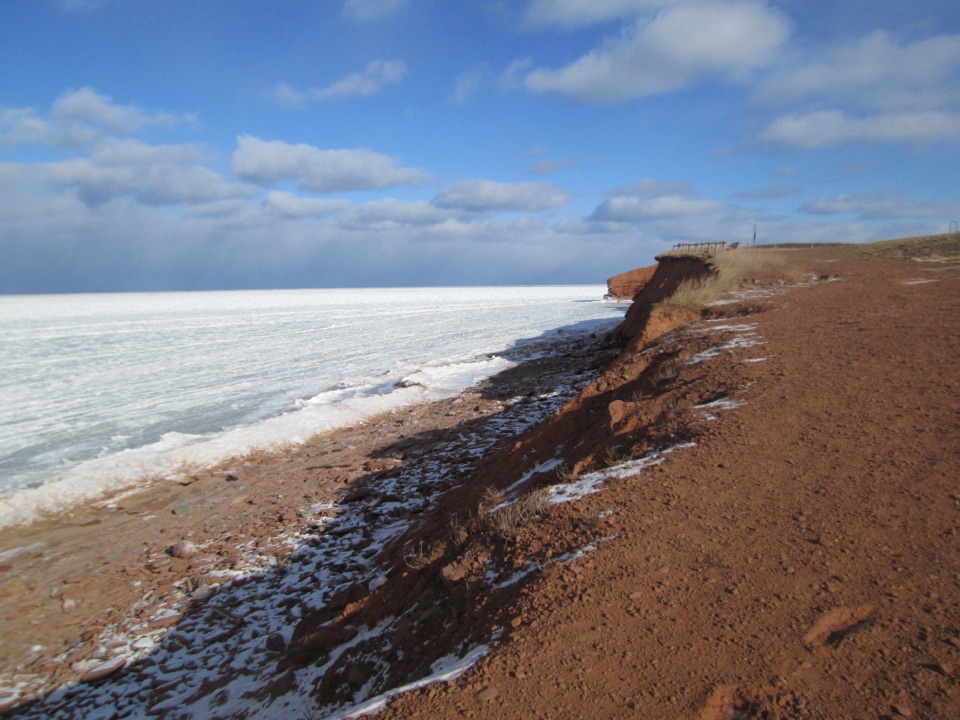 Sight · 3.8 km awayMacKenzies BrookRed sandstone cliffs meet open Gulf water at a short pull-off
Parkwolf’s Prince Edward Island ranking

The audio tour guide for the drive, plus offline maps, trails, and wildlife heatmaps for when the signal drops.