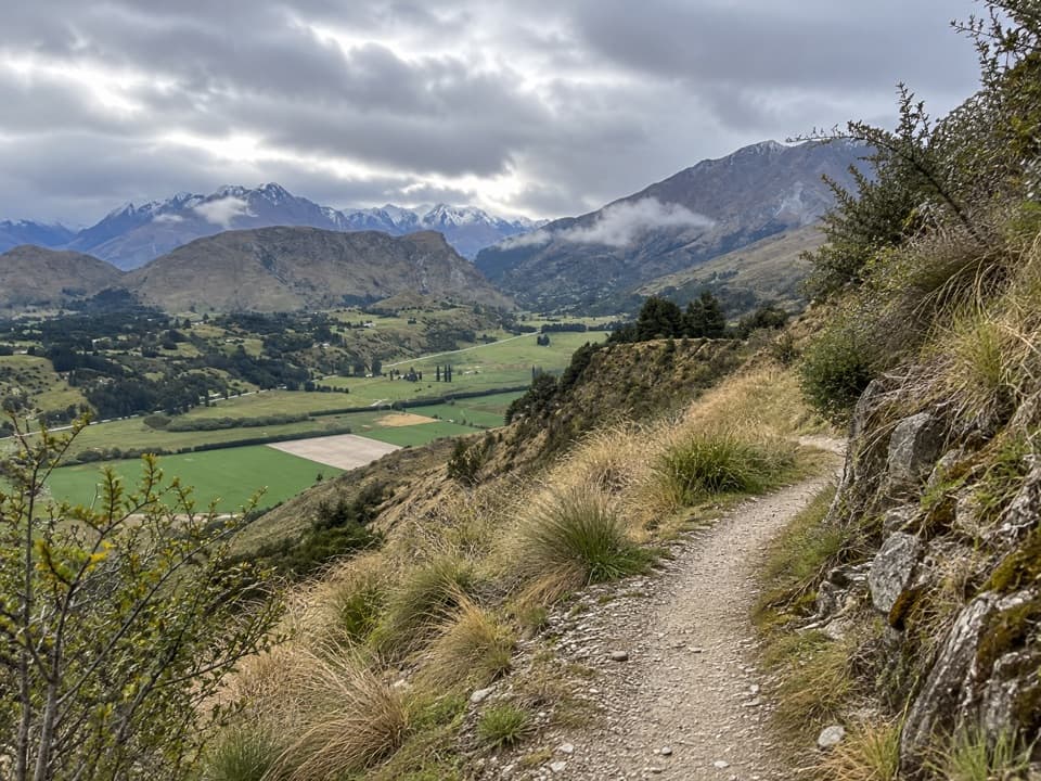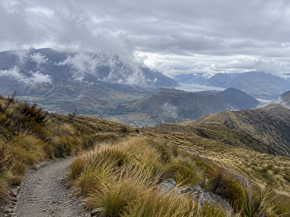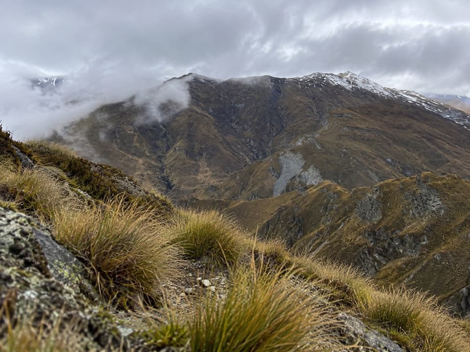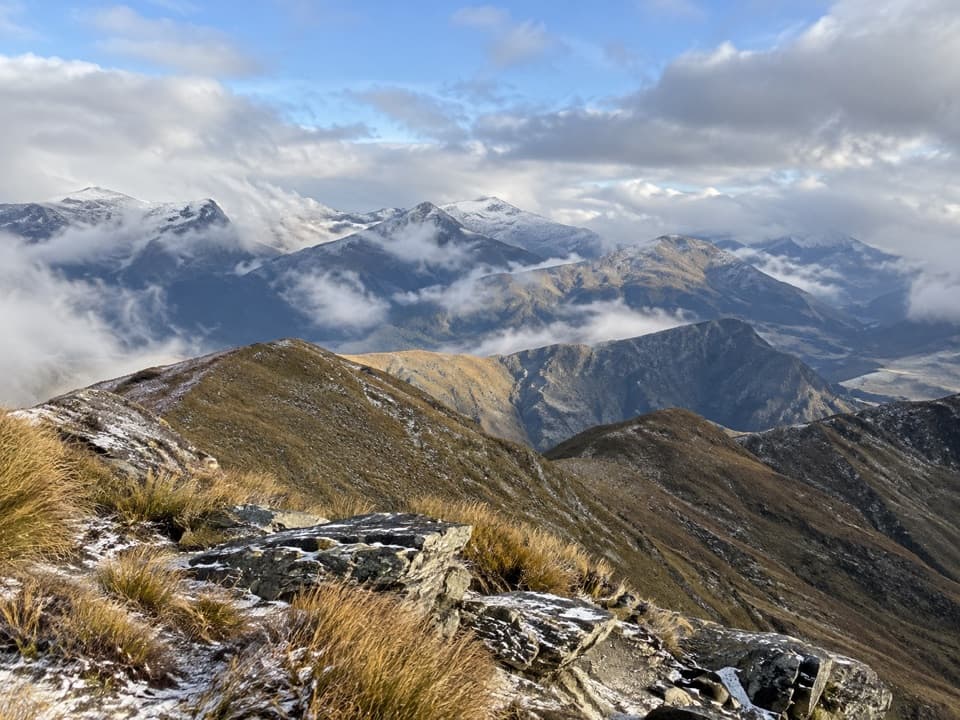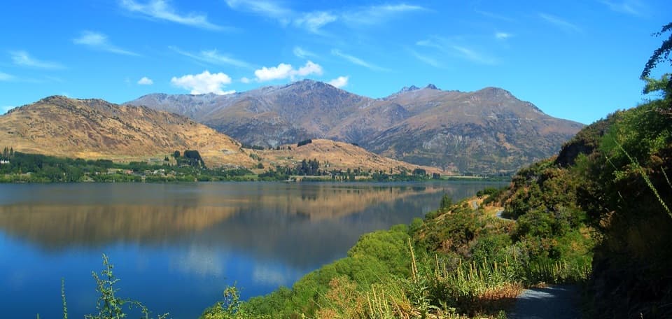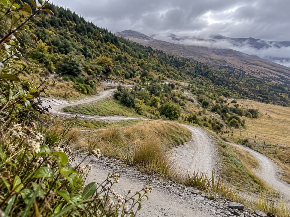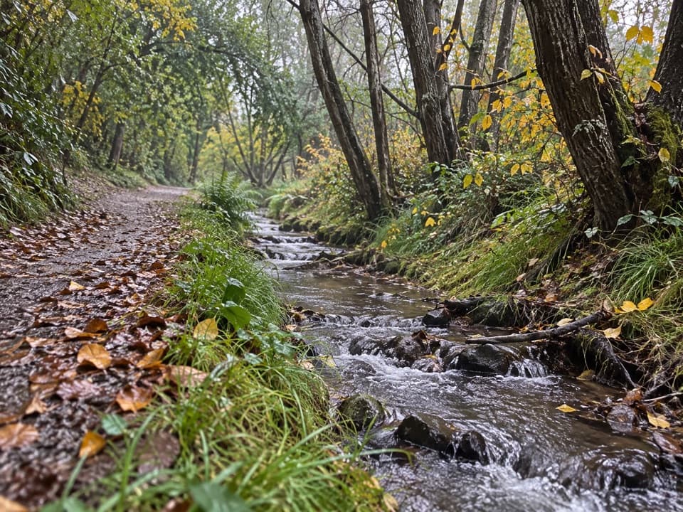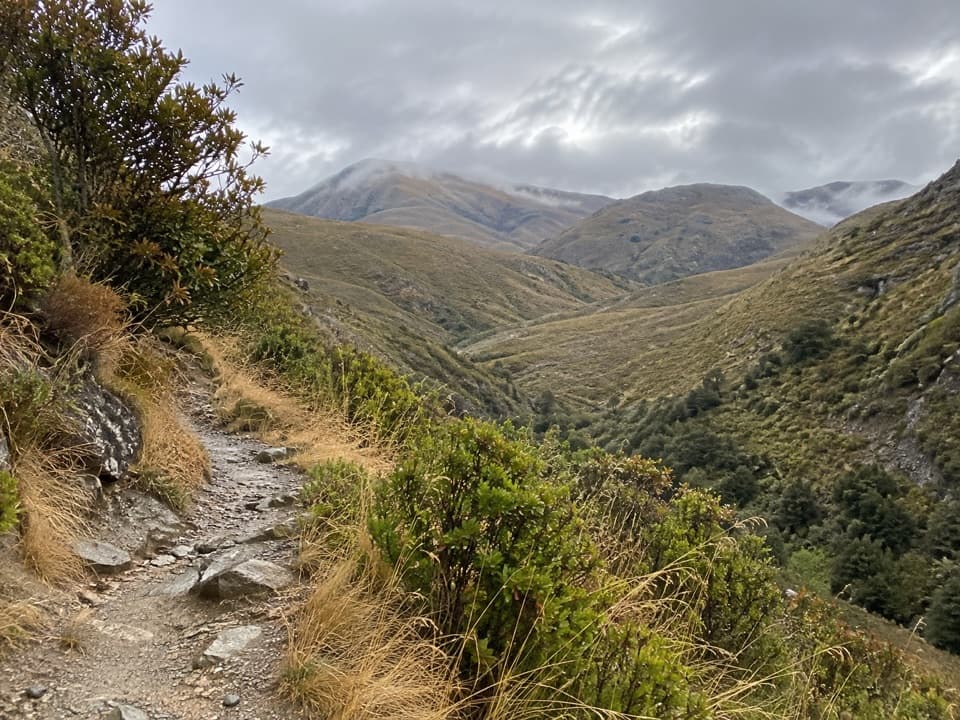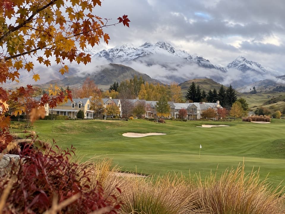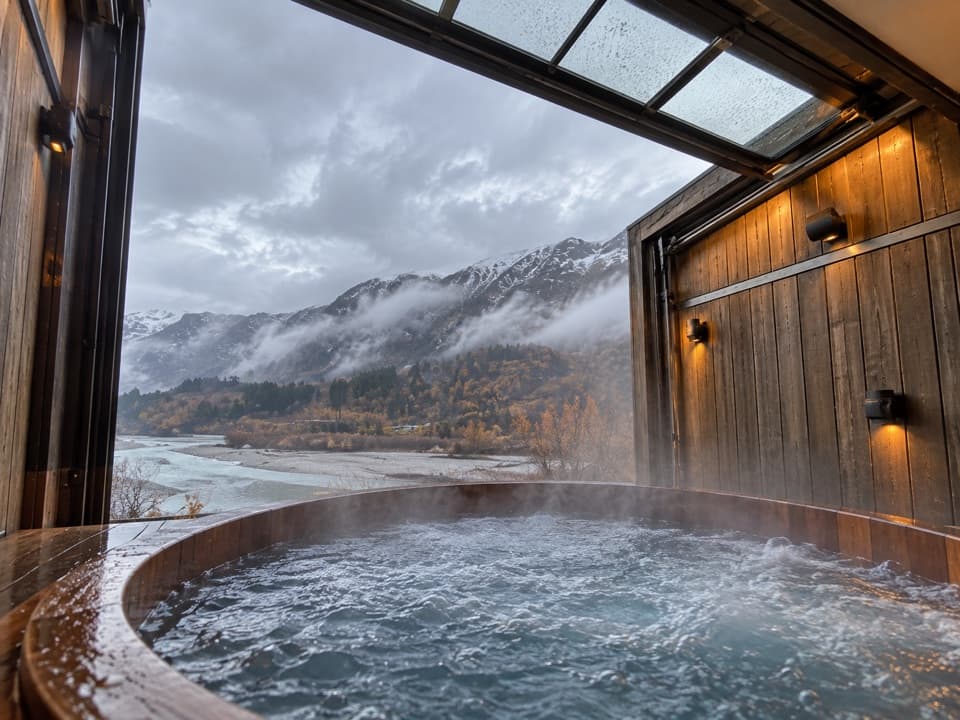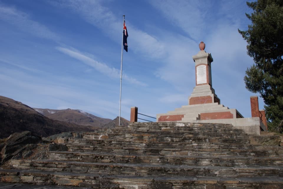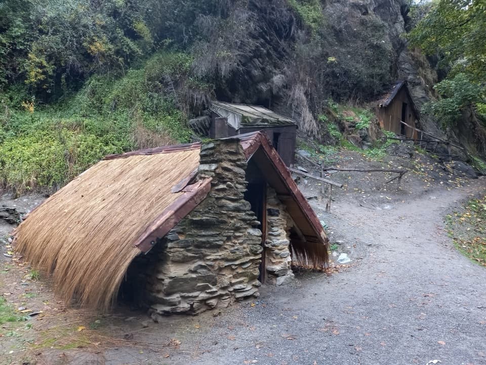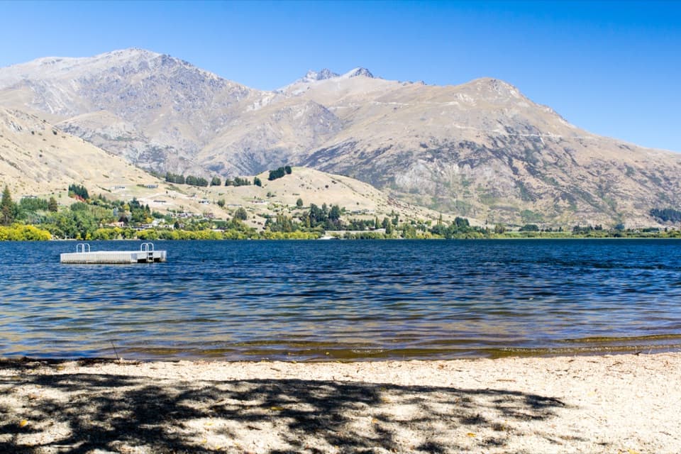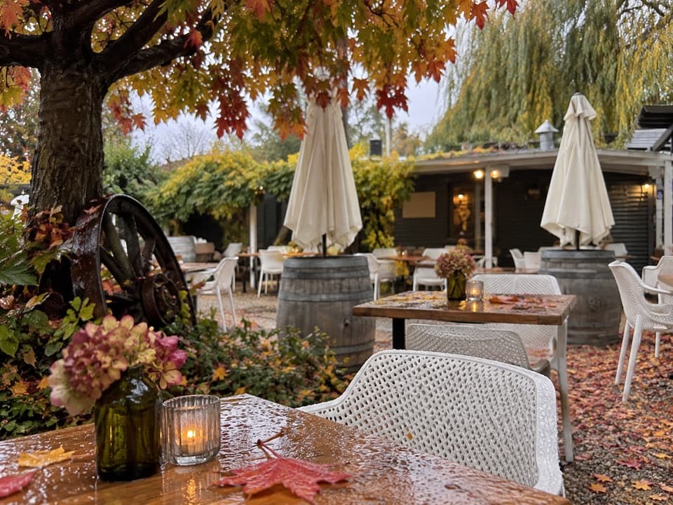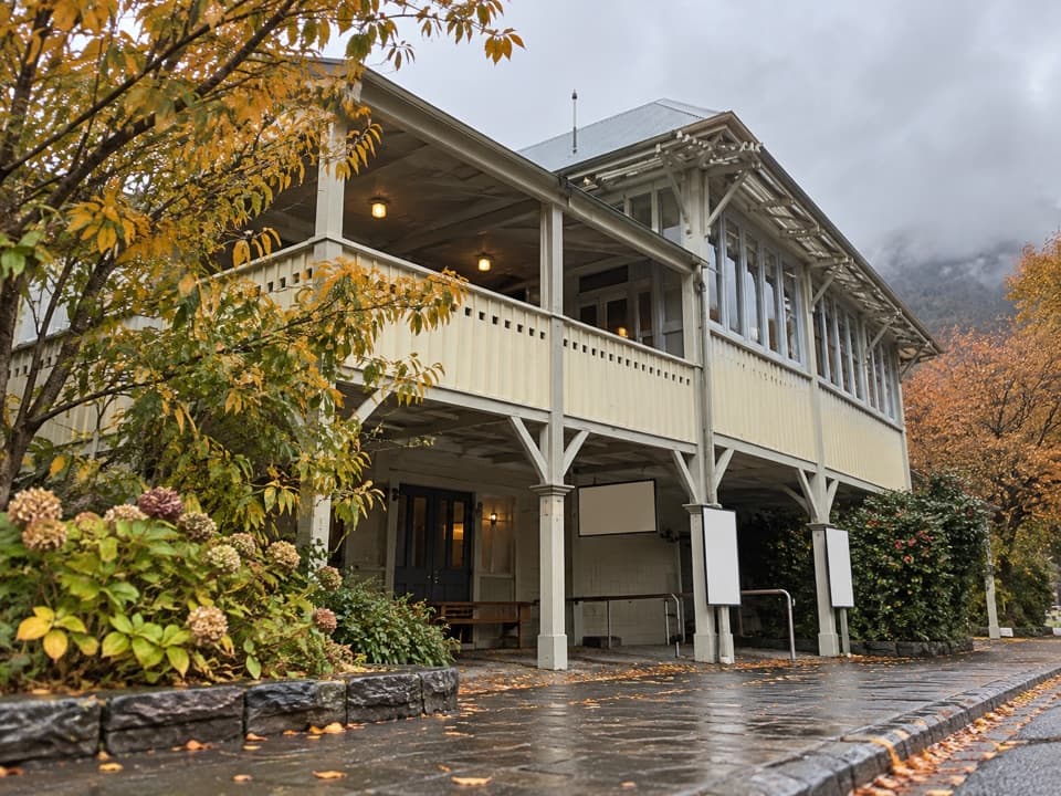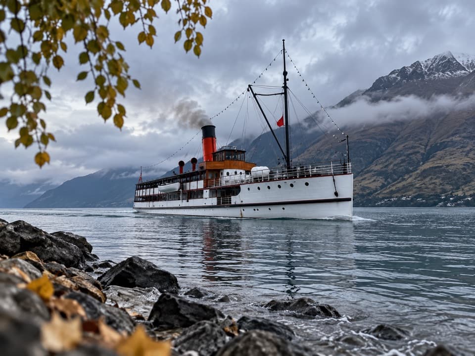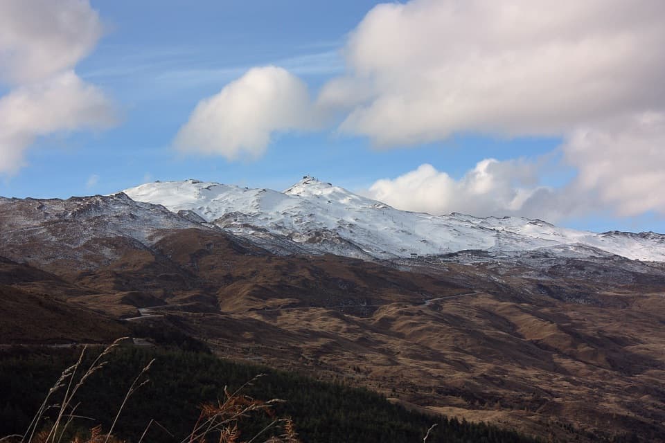
Coronet Peak in Queenstown-Lakes District, New Zealand

Sight · Queenstown-Lakes District, New Zealand

Coronet Peak

Queenstown's ski mountain for winter runs, summer rides, and basin views.

Photo: André Richard Chalmers / Wikimedia Commons / CC BY-SA 3.0; source: Indicate any modifications

Type
Sight
Nearest trail
2.3 km
Audio stories
5 nearby
  • Parking
  • Scenic viewpoint
  • Food
  • Wi-Fi
  • #13 of 83 sights

Hear the audio tour

Coronet Peak
Download Parkwolf on the App StoreGet Parkwolf on Google Play

4.7 from 8,600+ ratings

Overview

About Coronet Peak

Why stop

  • Close to Queenstown, with wide basin and mountain views
  • Lessons and mellow zones suit first-time skiers

Heads up

  • Snow and wind can limit open terrain or interrupt lifts
  • Busy winter days can bring rental and lift waits

Map

Where it is

Loading the Queenstown-Lakes District map
Full map
SightCoronet Peak-44.92717, 168.73627
Keep this map with you offline in the Parkwolf app

Plan your stop

Before you go

3 active Queenstown-Lakes District alerts

  • CautionRob Roy Track: stop at lower lookout during avalanche seasonFrom May to November, end your Rob Roy Track hike at the lower lookout: DOC strongly recommends this because the upper section crosses active avalanche paths.Official details
  • ClosureSkippers Bridge closed to all usersSkippers Bridge is closed to all vehicles, cyclists and pedestrians; stay off the bridge and obey closure signs and barriers.Official details

See all 3 alerts
A park ranger sits on a dash-mounted phone, talking, as Parkwolf’s Tour Guide plays “Army Cutworm Moths: A Grizzly Bear Buffet” on Grand Loop Road below Dunraven Pass in Yellowstone
Parkwolf Tour GuideThe highest, rockiest slopes around here are a summer buffet for grizzly bears.

Queenstown-Lakes District Tour Guide

Your drive to Coronet Peak, narrated.

Parkwolf is a GPS audio tour guide for Queenstown-Lakes District, New Zealand. As you drive, it chimes in with what’s ahead: hidden gems, upcoming stops, history, geology, and wildlife, right through your car’s speakers.

See the Queenstown-Lakes District audio tour

Recorded for this place

Coronet Peak
0:00 / 0:34
“Coronet Peak’s base area is coming up, beneath the mountain that became New Zealand’s first commercial ski field in nineteen forty-seven.”

Plays as you drive up to Coronet Peak in the Parkwolf Queenstown-Lakes District Tour Guide.

More stories near here in the app

  • Six Sides in a Snowflake
  • Coronet Face Water Race Trail
  • Skippers Road and Historic Site
  • The Bird Turning Over the Leaves
  • 298 audio storiesacross Queenstown-Lakes District’s roads, triggered by GPS as you drive
  • Wildlife heatmapsfor Kea, Kākā, Kererū, and 13 more
  • Works offlinemaps, 155 trails, 129 places, and audio download before you lose signal
  • CarPlay readysimple controls built for the drive
★★★★★
“Fantastic app with many points of information… It’s great to just turn on while you’re driving and it gives you an audio tour of the national Park. We love it!!!!”
JMJamesApp Store review
Download Parkwolf on the App StoreGet Parkwolf on Google Play

4.7 from 8,600+ ratings

Guide

More about Coronet Peak

Is this your kind of mountain?Coronet Peak is Queenstown’s commercial ski field, set above the Wakatipu Basin.

Coronet Peak is Queenstown’s commercial ski field, set above the Wakatipu Basin. It’s a strong pick if you want a ski or snowboard day close to town, especially for a first day on snow: learner zones, lessons and rentals make getting started easier. In summer, the mountain shifts to biking and sightseeing. Check snow, wind and lift conditions before driving up; they can change which runs and activities are available.

Getting up thereFrom central Queenstown, the sealed road climbs about 16 km to the resort, roughly a 20-minute…

From central Queenstown, the sealed road climbs about 16 km to the resort, roughly a 20-minute drive. The ascent opens out to broad mountain and basin views. The summit is exposed, with no trees for shelter, so bring layers, sun protection and sturdy shoes for an alpine day.

Winter on the runsThe terrain ranges from mellow learner areas to wide groomed runs, natural rollers, gullies and…

The terrain ranges from mellow learner areas to wide groomed runs, natural rollers, gullies and steeper sections. Lessons and rentals help first-timers and families settle in; snow play and tobogganing add another option when conditions allow. If you’re an experienced skier, check how much terrain is open before committing. Snow cover and wind can limit runs or interrupt lifts, and busy days can bring waits for rentals and lifts.

Summer on two wheelsSummer brings lift-assisted mountain biking and sightseeing.

Summer brings lift-assisted mountain biking and sightseeing. A maintained single-track runs from the top of Coronet Express toward the valley floor; most riders take about an hour to reach the bottom, depending on ability. A bike shuttle runs from Queenstown in the summer season, but book ahead rather than assuming a seat will be available.

Look out over the basinThe summit sightseeing platform faces the Wakatipu Basin and Queenstown.

The summit sightseeing platform faces the Wakatipu Basin and Queenstown. It’s a good place to pause between rides or runs, and the views make sense of how close the mountain is to town. The top is open to the weather, so visibility and comfort can change quickly.

Food at the baseCafe 1200 sits beside the chairlift and serves food and drinks, with local beer and wine.

Cafe 1200 sits beside the chairlift and serves food and drinks, with local beer and wine. It’s a handy stop during a day on the mountain; food and other services follow the resort’s seasonal operations, so don’t count on them when the mountain is between seasons.

A ski-field firstCoronet Peak opened in 1947 as New Zealand’s first commercial ski field.

Coronet Peak opened in 1947 as New Zealand’s first commercial ski field. Its role has broadened since then: the same mountain now draws visitors for summer biking and sightseeing as well as winter snow sports.

Wildlife

Wildlife in Queenstown-Lakes District

All Queenstown-Lakes District wildlife maps

Sighting maps show where each species has been reported across Queenstown-Lakes District. Wildlife moves, so no sighting is guaranteed.

Keep exploring

Near Coronet Peak

See it all on the map

Trails nearby

More stops nearby

Parkwolf’s Queenstown-Lakes District ranking

Top sights in Queenstown-Lakes District

All 129 places
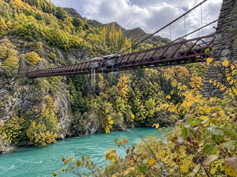
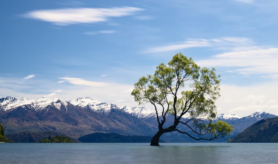
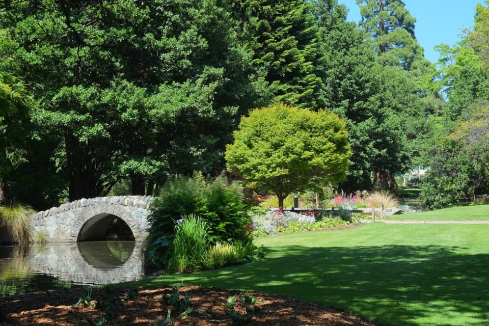
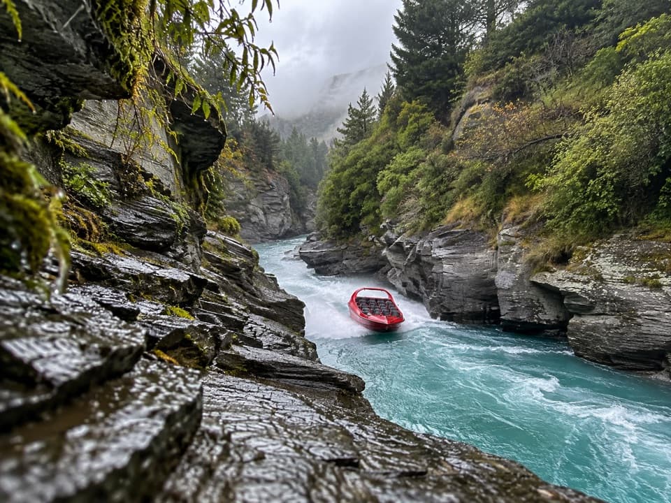
  1. 1Skyline QueenstownSight
  2. 2TSS EarnslawSight
  3. 3Kawarau Bridge and Bungy CentreSight
  4. 4That Wānaka TreeSight
  5. 5Queenstown GardensSight
  6. 6Shotover JetSight

Take Parkwolf to Queenstown-Lakes District.

The audio tour guide for the drive, plus offline maps, trails, and wildlife heatmaps for when the signal drops.

4.7 from 8,600+ ratings

Download Parkwolf on the App StoreGet Parkwolf on Google Play