Parking
Start at the Arthurs Point endpoint of the official route; it finishes at Millbrook where it joins the Countryside Trail. Dedicated parking at the Arthurs Point access was not confirmed, so plan transport at both ends.
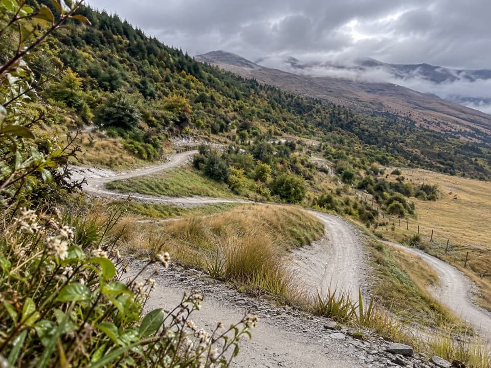
Queenstown-Lakes District, New Zealand, OT
A long, easy traverse of wetlands and Coronet foothills.
Overview
Map & elevation
Plan your hike

The highest, rockiest slopes around here are a summer buffet for grizzly bears.
Queenstown-Lakes District Tour Guide
Parkwolf is a GPS audio tour guide for Queenstown-Lakes District, New Zealand. As you drive, it chimes in with what’s ahead: hidden gems, upcoming stops, history, geology, and wildlife, right through your car’s speakers.
See the Queenstown-Lakes District audio tourRecorded for this trailhead
Wharehuanui Trail from Arthurs Point“Ahead is the Arthurs Point access to the Wharehuanui Trail, an easy-grade route through wetlands and Coronet Peak's foothills.”
Plays as you drive up to this trailhead in the Parkwolf Queenstown-Lakes District Tour Guide.
More stories near here in the app
“Fantastic app with many points of information… It’s great to just turn on while you’re driving and it gives you an audio tour of the national Park. We love it!!!!”


Trail guide
Wharehuanui Trail is a 13 km (8.1 mi) one-way shared path from Arthurs Point to the Millbrook junction. Allow about 3 hours on foot; the operator grades it 2 (easy) and lists 100–200 m of ascent. It follows Coronet Peak’s lower foothills through wetlands and riparian zones, with open views across the Whakatipu Basin. It’s a long, low-grade half-day walk, not a summit hike.
This isn’t a loop. The mapped Wharehuanui segment finishes at Millbrook, where it meets the Countryside Trail. Continue on that separately named route if you want to reach Arrowtown, or arrange a pickup. Make your return plan before setting out.
The path changes between paved and gravel sections, with bridges and crossings along the way. Kuperus Crossing spans a creek flowing down Coronet Peak’s front face. The foothill sections open up to basin and mountain views; this is where the route feels most different from a regular town path. Walkers share it with cyclists, so stay alert on narrower stretches.
Mill Creek Reserve is a restored riparian area and a good picnic stop. Restoration work there removed exotic plants, replanted native species, added predator traps, and improved water quality. From there, the trail passes through Millbrook to the Countryside Trail junction.
On the open slopes, include a bend of the gravel path with the basin and mountain ridges behind it. That gives the picture a clear sense of how the trail crosses the foothills.
Wildlife
 194 sightingsKeaMost seen around 5 PMSighting map
 18 sightingsKākāMost seen around 6 PMSighting map
 198 sightingsKererūMost seen around 10 AMSighting map
 53 sightingsWekaMost seen around 6 PMSighting map
 245 sightingsTūīMost seen around 8 AMSighting map
 98 sightingsBellbirdMost seen around 6 AMSighting map
Sighting maps show where each species has been reported across Queenstown-Lakes District. Wildlife moves, so no sighting is guaranteed.
Keep exploring
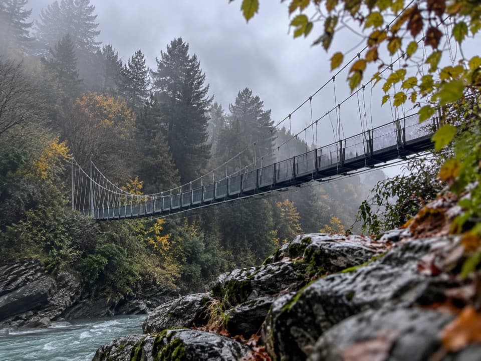 ModerateShotover Gorge Trail6.5 km · 1.8 hr · 0.9 km awayA four-mile gorge trail through a historic tunnel to a suspension bridge.
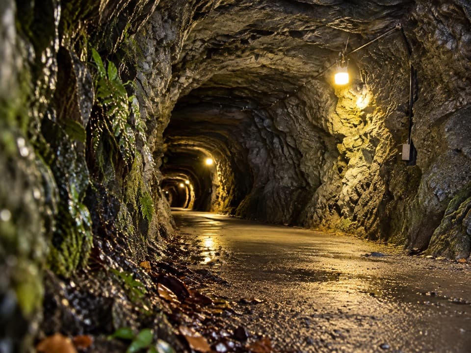 ModerateHugo Tunnel Loop6.6 km · 2 hr · 0.9 km awayA 108-metre historic tunnel anchors this gorge-side circuit.
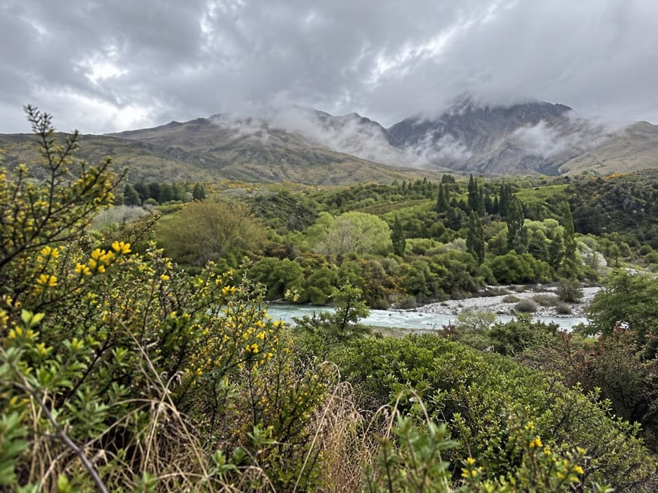 EasyMorningstar Track1.5 km · 30 min · 1.6 km awayA short riverside path overlooks the Shotover near Morning Star Beach.
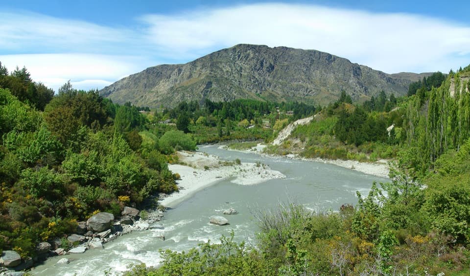 EasyOxenbridge Tunnel Track1.7 km · 30 min · 1.9 km awayA quick viewpoint walk with rapids, gold-rush history and a steam engine
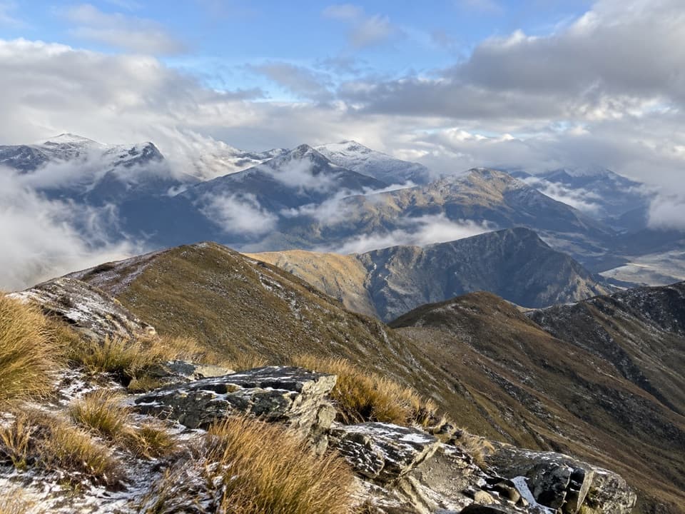 ModerateMount Dewar Track5 km · 2.5 hr · 4.4 km awayA short hill climb with broad Whakatipu basin views.
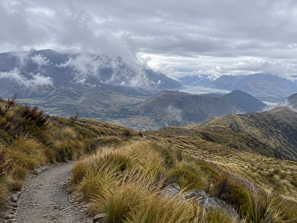 ChallengingDevils Creek Track12 km · 5.5 hr · 4.4 km awayA long traverse from Mount Dewar into the Devils Creek catchment.
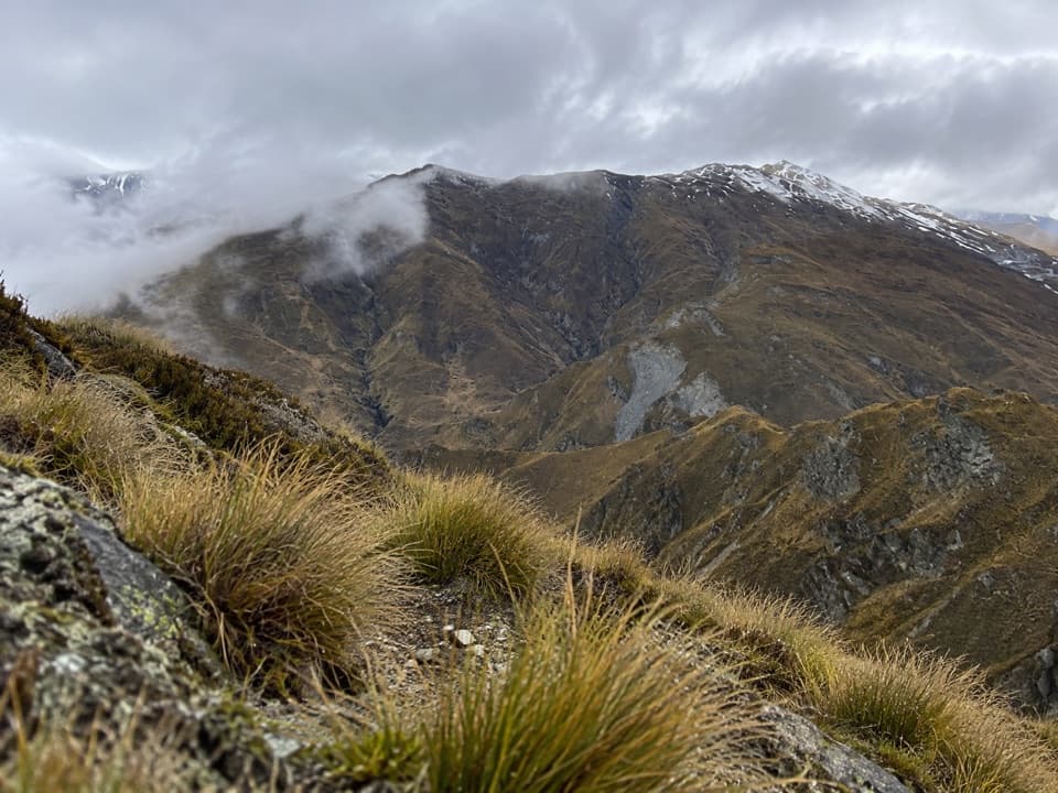 ModerateAtleys Track13.7 km · 5.5 hr · 4.4 km awayA rugged crossing over Mt Dewar to old gold workings.
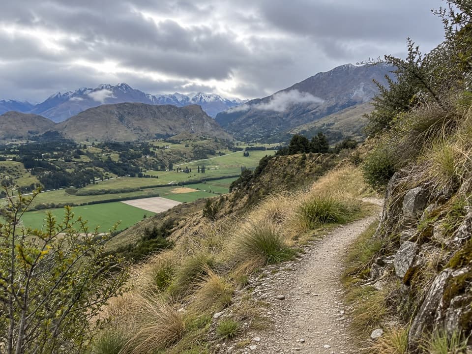 ModerateCoronet Face Water Race Trail6 km · 2.5 hr · 4.7 km awayA high traverse past old water-race pipes above the basin.
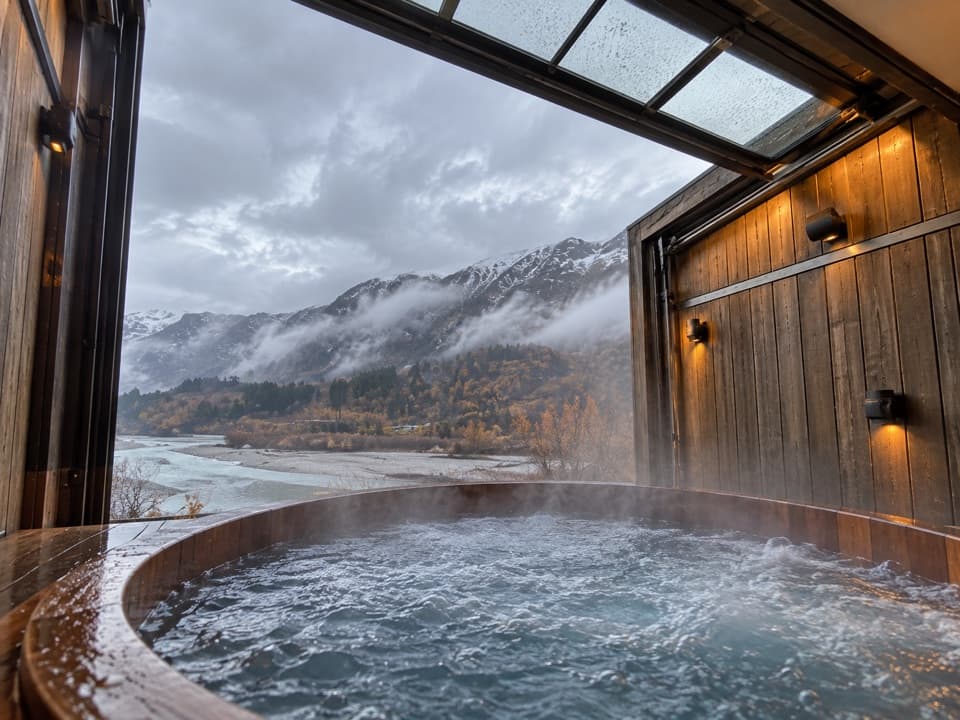 Sight · 0.4 km awayOnsen Hot Pools & Day SpaA private cedar soak above the Shotover River canyon.
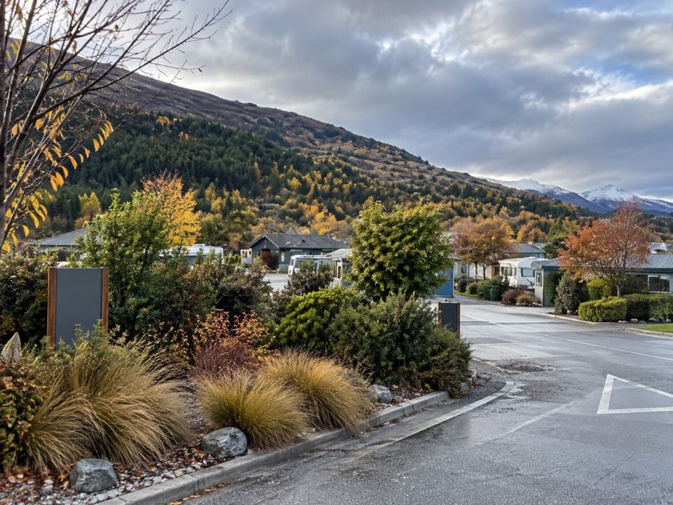 Campground · 1.2 km awayQueenstown TOP 10 Holiday ParkA family campground with a free shuttle into Queenstown
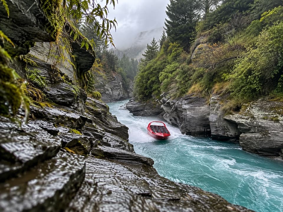 Sight · 1.7 km awayShotover JetA 25-minute canyon run packed with close passes and full spins.
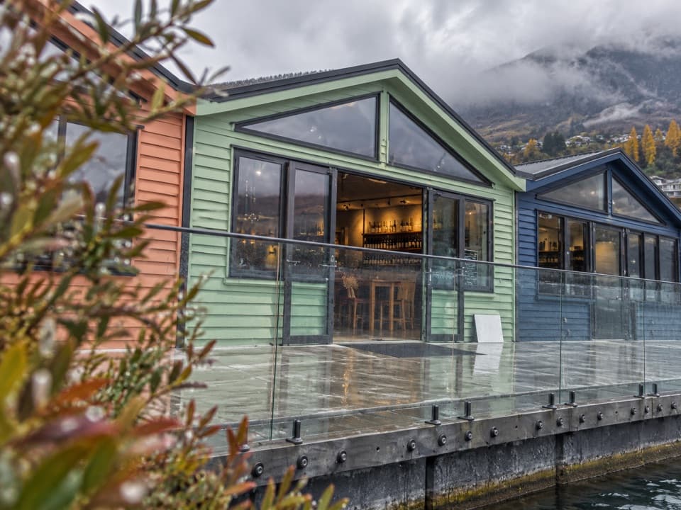 Store · 4.9 km awayWet Jacket WinesA hosted tasting with Lake Whakatipu and Remarkables views
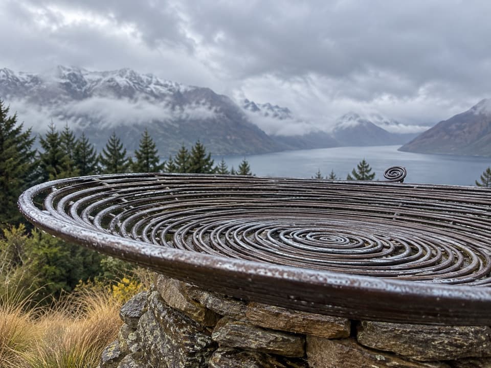 Sight · 5.1 km awayBasket of DreamsA steel spiral on the steep climb above Queenstown.
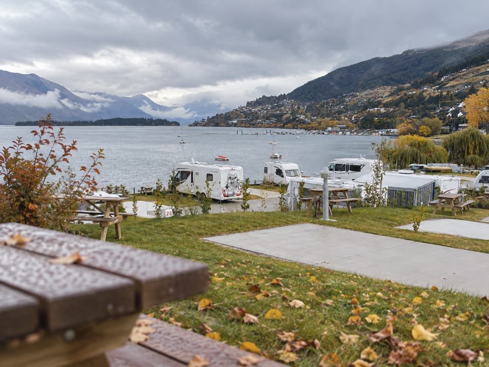 Campground · 5.1 km awayDriftaway Queenstown Holiday ParkA lakefront base with camping, cabins and a mountain backdrop.
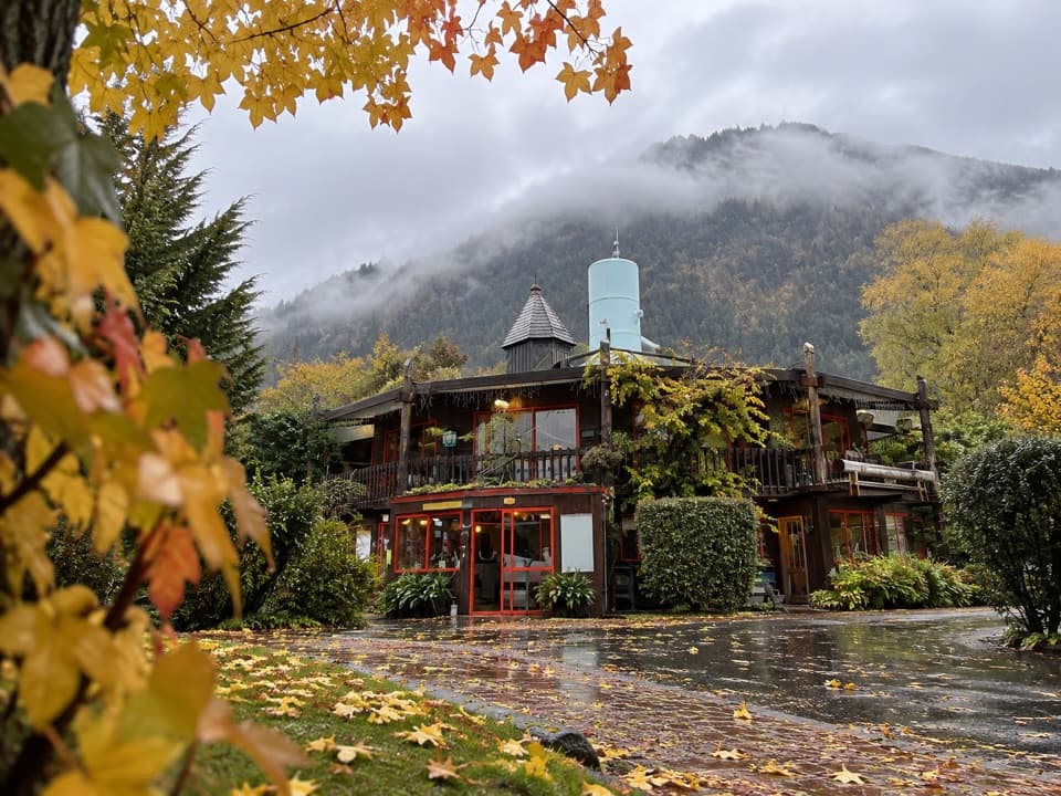 Campground · 5.7 km awayQueenstown Holiday Park CreeksydeA leafy place to stay, a short walk from the town centre.
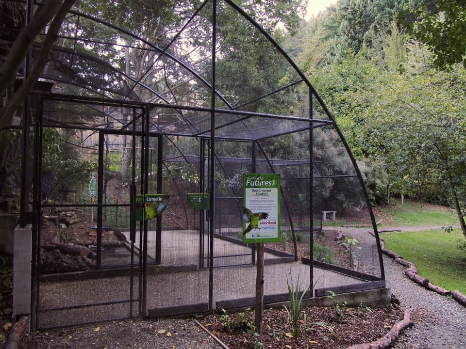 Sight · 6 km awayKiwi ParkGet a close look at kiwi and native wildlife in Queenstown.
Parkwolf’s Queenstown-Lakes District ranking

The audio tour guide for the drive, plus offline maps, trails, and wildlife heatmaps for when the signal drops.





