Parking
Use the provided parking areas near the cattle grid at Skippers Saddle on Skippers Road. The route finishes on Coronet Peak Road, so arrange point-to-point transport before starting.
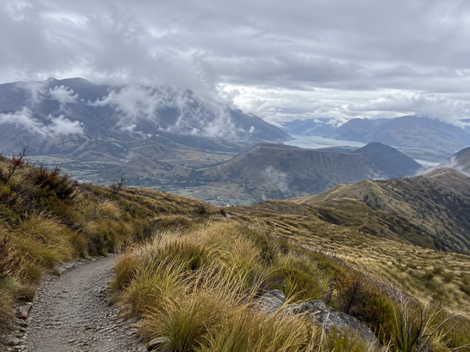
Queenstown-Lakes District, New Zealand, OT
A long traverse from Mount Dewar into the Devils Creek catchment.
Overview
Map & elevation
Plan your hike

The highest, rockiest slopes around here are a summer buffet for grizzly bears.
Queenstown-Lakes District Tour Guide
Parkwolf is a GPS audio tour guide for Queenstown-Lakes District, New Zealand. As you drive, it chimes in with what’s ahead: hidden gems, upcoming stops, history, geology, and wildlife, right through your car’s speakers.
See the Queenstown-Lakes District audio tourRecorded for this trailhead
Skippers Road and Historic Site“You're approaching Skippers Road, the access to an old goldfield settlement deep in the Shotover Valley.”
Plays as you drive up to this trailhead in the Parkwolf Queenstown-Lakes District Tour Guide.
More stories near here in the app
“Fantastic app with many points of information… It’s great to just turn on while you’re driving and it gives you an audio tour of the national Park. We love it!!!!”


Trail guide
Devils Creek Track is a 12 km one-way walk from Skippers Saddle to Coronet Peak Road, climbing to Mount Dewar (1,310 m) before dropping into the Devils Creek catchment and climbing out again. Allow 5–6 hours. The reward is a summit view over the Whakatipu Basin and a route that moves from open tussock into a steep creek valley. This is the full point-to-point track, not the shorter Mount Dewar summit walk. Arrange an exit from Coronet Peak Road before setting out; no return shuttle is confirmed.
Park in the provided areas near the cattle grid at Skippers Saddle, cross the wooden stile beside the locked gate and follow the access road uphill. It takes about an hour to reach the 1,310 m summit. The track follows a 4WD route through tussock, with wide views opening over the Whakatipu Basin. Beyond the transmission towers, take the signposted junction for Devils Creek rather than turning back at the summit.
From Mount Dewar, the route descends through tussock into the creek catchment, steepening as it drops. It skirts remnant beech and grey shrubland, then climbs out past bluffs to a low saddle on the ridge before descending to Coronet Peak Road. The track is described in either direction, but the Skippers Saddle–Mount Dewar start is the easier way around.
The marked route crosses both conservation and private land. Stay on it and follow the signs to the Coronet Peak Road exit. The trail is one way, so sort the pickup or other transport between the two ends in advance. No food, toilets or reliable water point is confirmed along the route; plan for the five-to-six-hour walk without assuming a refill.
Wildlife
 194 sightingsKeaMost seen around 5 PMSighting map
 18 sightingsKākāMost seen around 6 PMSighting map
 198 sightingsKererūMost seen around 10 AMSighting map
 53 sightingsWekaMost seen around 6 PMSighting map
 245 sightingsTūīMost seen around 8 AMSighting map
 98 sightingsBellbirdMost seen around 6 AMSighting map
Sighting maps show where each species has been reported across Queenstown-Lakes District. Wildlife moves, so no sighting is guaranteed.
Keep exploring
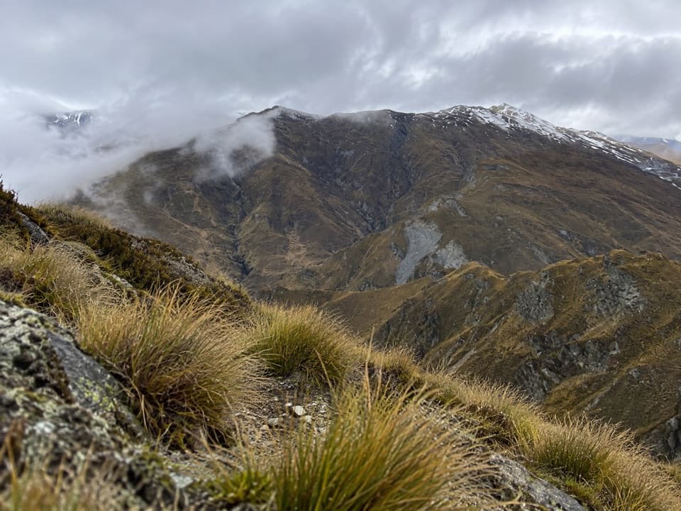 ModerateAtleys Track13.7 km · 5.5 hr · At the trailheadA rugged crossing over Mt Dewar to old gold workings.
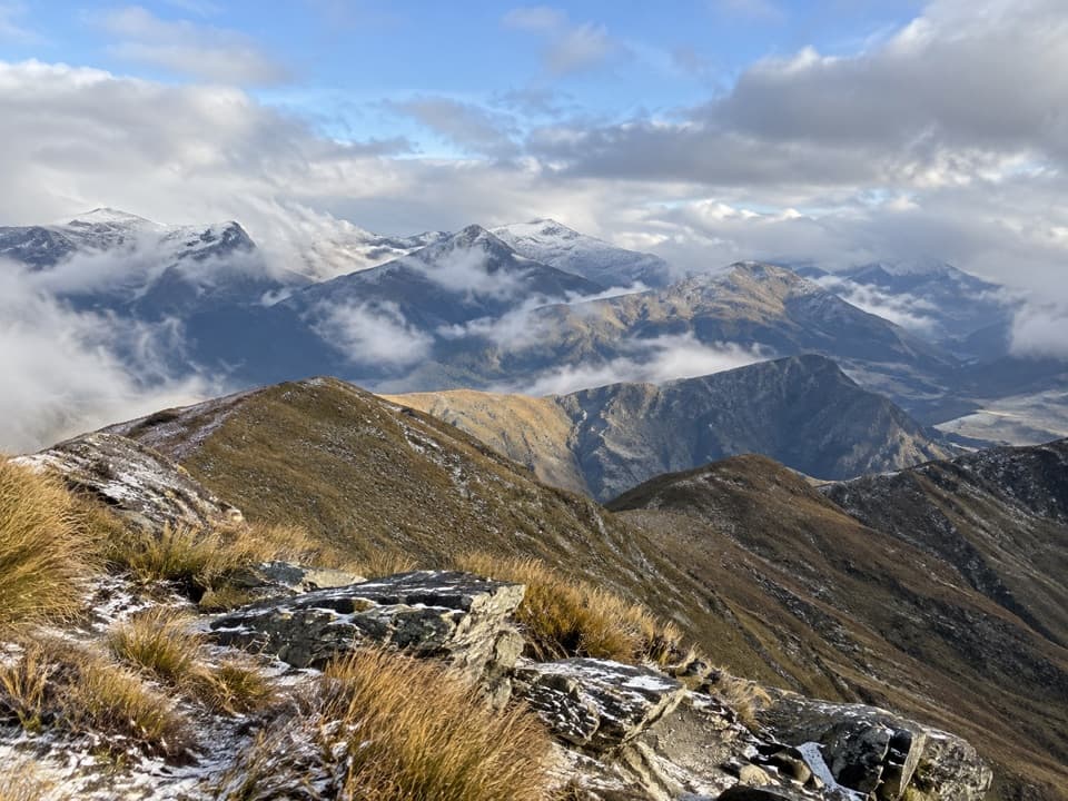 ModerateMount Dewar Track5 km · 2.5 hr · At the trailheadA short hill climb with broad Whakatipu basin views.
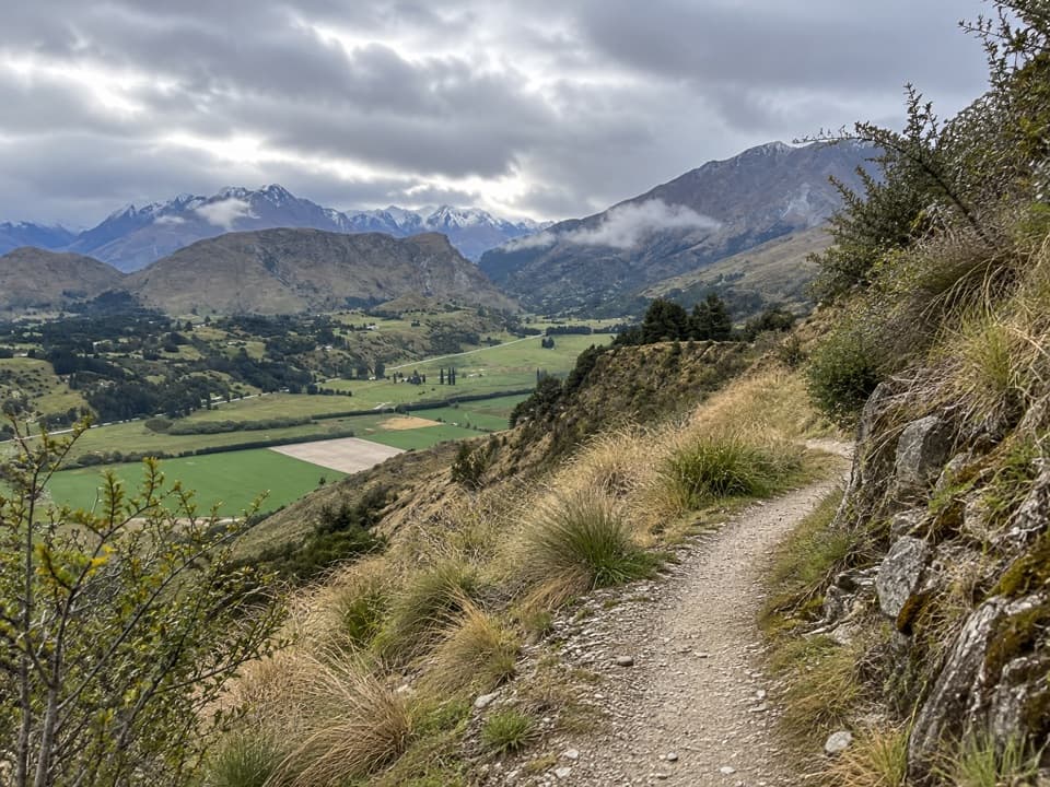 ModerateCoronet Face Water Race Trail6 km · 2.5 hr · 0.7 km awayA high traverse past old water-race pipes above the basin.
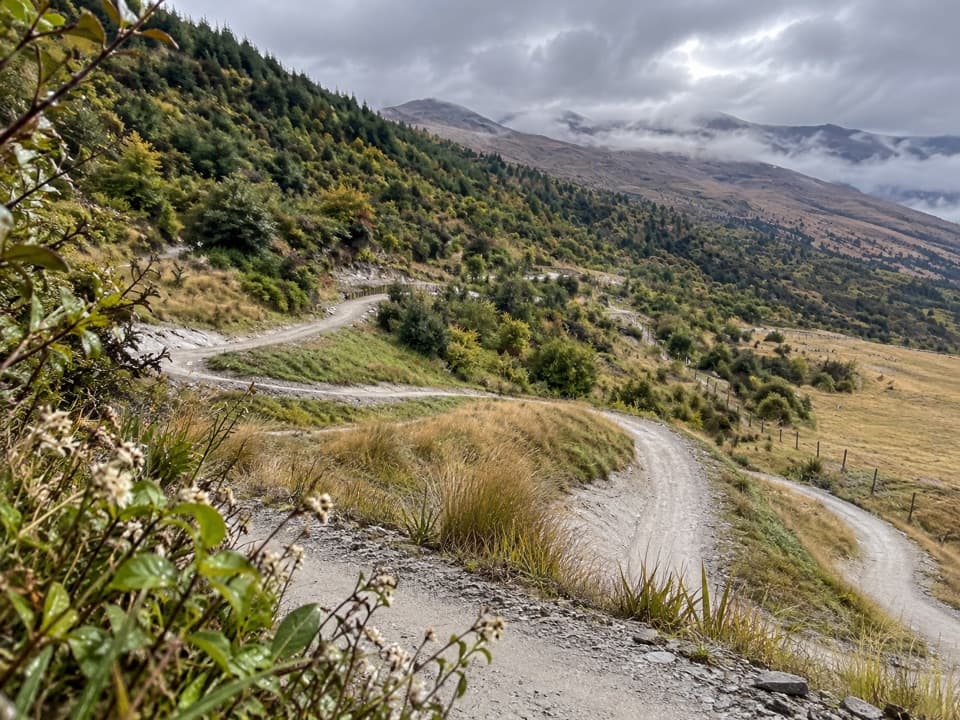 EasyWharehuanui Trail13 km · 3 hr · 4.4 km awayA long, easy traverse of wetlands and Coronet foothills.
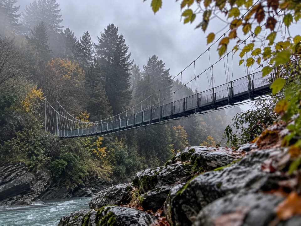 ModerateShotover Gorge Trail6.5 km · 1.8 hr · 5.1 km awayA four-mile gorge trail through a historic tunnel to a suspension bridge.
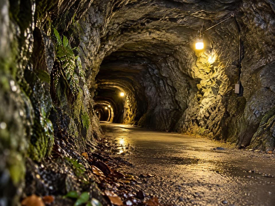 ModerateHugo Tunnel Loop6.6 km · 2 hr · 5.1 km awayA 108-metre historic tunnel anchors this gorge-side circuit.
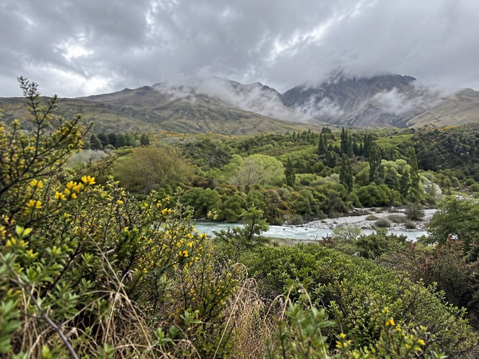 EasyMorningstar Track1.5 km · 30 min · 5.8 km awayA short riverside path overlooks the Shotover near Morning Star Beach.
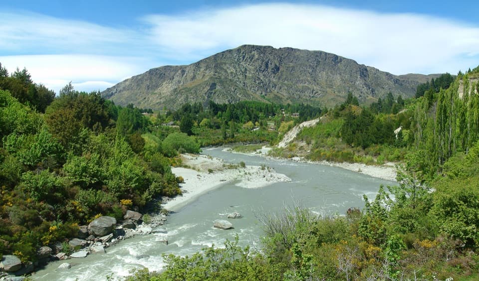 EasyOxenbridge Tunnel Track1.7 km · 30 min · 5.9 km awayA quick viewpoint walk with rapids, gold-rush history and a steam engine
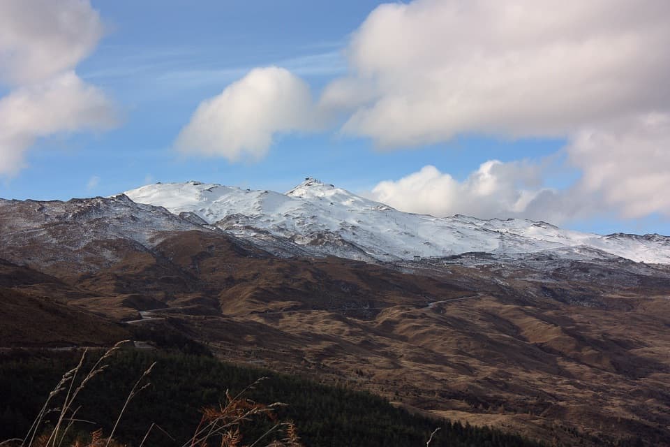 Sight · 2.8 km awayCoronet PeakQueenstown's ski mountain for winter runs, summer rides, and basin views.
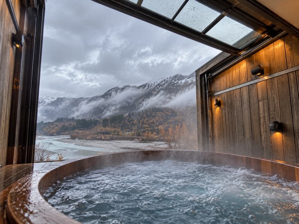 Sight · 4.8 km awayOnsen Hot Pools & Day SpaA private cedar soak above the Shotover River canyon.
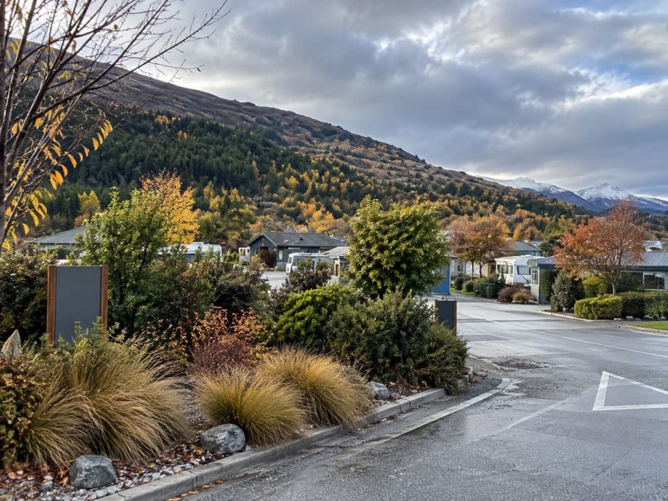 Campground · 5.4 km awayQueenstown TOP 10 Holiday ParkA family campground with a free shuttle into Queenstown
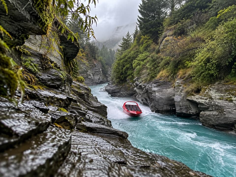 Sight · 5.8 km awayShotover JetA 25-minute canyon run packed with close passes and full spins.
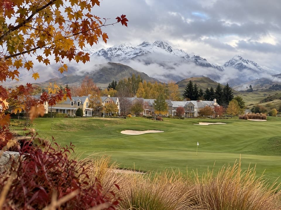 Sight · 8.6 km awayMillbrook ResortA former wheat farm where Arrowtown's old buildings found new jobs.
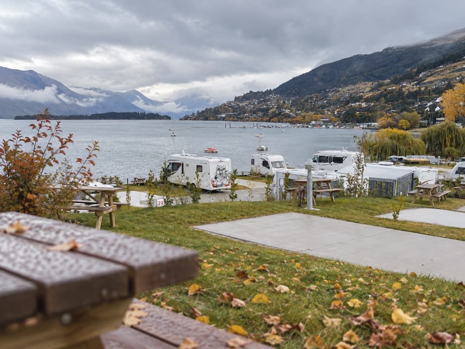 Campground · 8.7 km awayDriftaway Queenstown Holiday ParkA lakefront base with camping, cabins and a mountain backdrop.
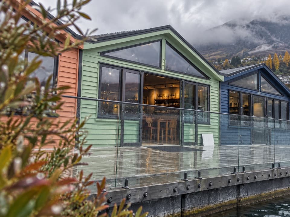 Store · 8.7 km awayWet Jacket WinesA hosted tasting with Lake Whakatipu and Remarkables views
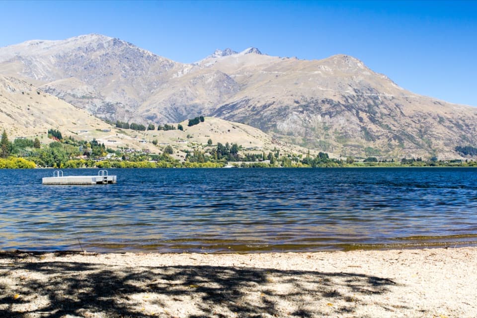 Beach · 9 km awayLake Hayes BeachA pebbly shore with a pontoon and Remarkables views.
Parkwolf’s Queenstown-Lakes District ranking

The audio tour guide for the drive, plus offline maps, trails, and wildlife heatmaps for when the signal drops.





