Pros & cons
PROS
- Hands‑on gold‑rush ruins and restored buildings with on‑site interpretation
- Choose‑your‑adventure access: hike, bike, or serious 4WD up the Arrow River
- Homeward Bound stamper battery side trip is a standout relic
CONS
- No toilets, bins, or formal parking on site
- Unmaintained 4WD track with ~23+ unbridged river crossings and real risk
- Road can be impassable after rain; river water must be boiled
Overview
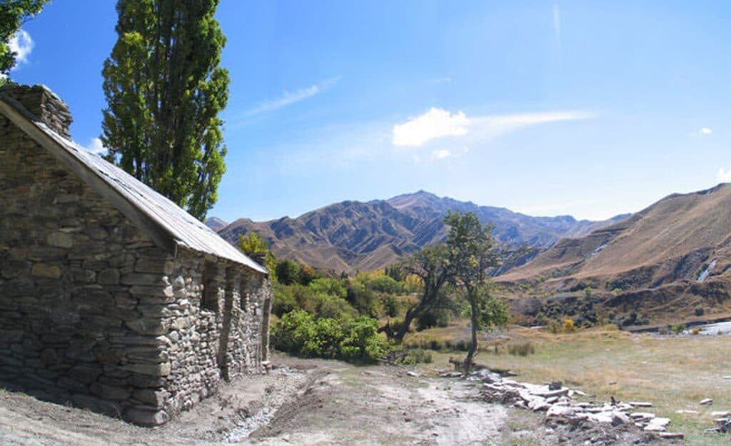
Macetown is an abandoned 1860s gold‑mining township tucked 15 km up the Arrow River from Arrowtown. It’s now a protected historic reserve where adventure and history meet: think stone ruins, a few restored buildings, and a riverbed route that feels wild and remote.
What You’ll See
- Restored relics of the rush era, including Needhams Cottage and Smiths Bakehouse, plus interpretation panels that tell the town’s story through the character Jack Glasson.
- Andersons Battery (the only all‑metal stamping battery known in Otago) and other scattered machinery, fences, and the old schoolroom site.
- A superb side mission: a 45‑minute climb up the Rich Burn to the four‑storey Homeward Bound stamper battery—one of the most impressive gold‑processing sites in New Zealand.
Getting There
- On foot or by bike: follow the shared Macetown track from Arrowtown, generally easy underfoot with a gentle gradient. Expect numerous fords; riders may need to shoulder bikes. Some crossings can be skirted on short, technical singletrack detours—scout first.
- 4WD: this is a challenging, unmaintained route with narrow benches, steep drop‑offs, blind corners, and roughly 23 unbridged crossings—experience essential. Drive only in daylight and good weather.
- Alternative tramp: the historic Big Hill Track (the pre‑1884 bridle route) also links Arrowtown to Macetown.
4WD Reality Check
DOC does not maintain the road. Use a purpose‑built 4WD with off‑road tyres and a snorkel (or equivalent), carry self‑recovery gear (e.g., winch), and be fully self‑reliant—do not expect assistance if you get stuck or damage your vehicle. Stay strictly on formed tracks.
On‑Site Basics
- Facilities: plan for none—no toilets, bins, or formal parking. Pack in/pack out.
- Water: available from the river—boil before drinking.
- Camping: a basic, free campsite sits near the old battery area; it can be popular at times. Mosquitoes can be prevalent.
- Protected place: it’s illegal to remove historic material.
Wildlife and Care for Place
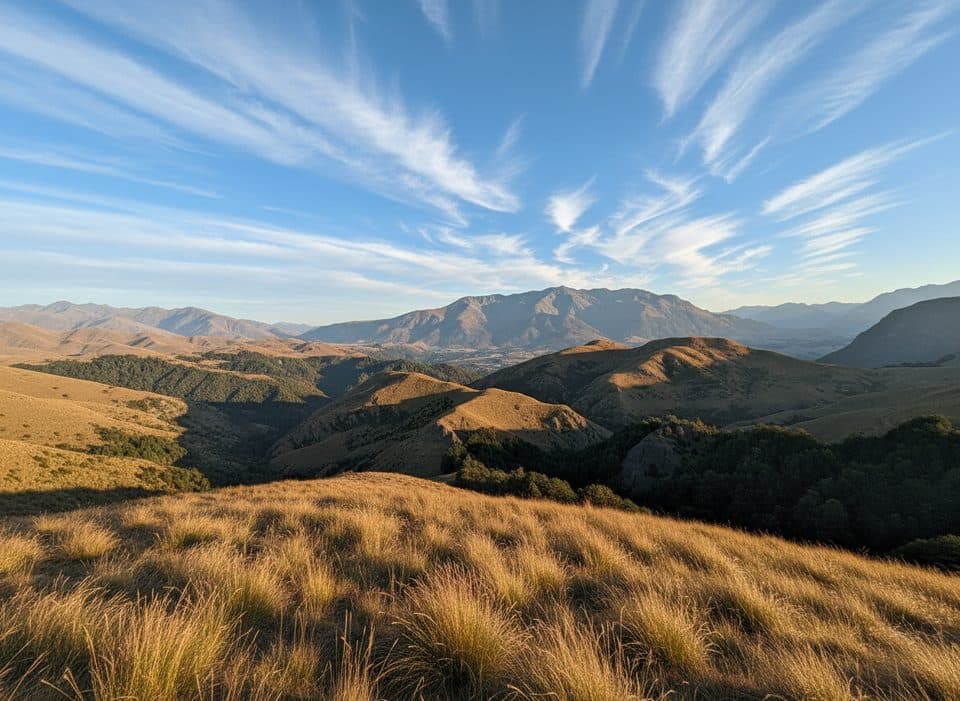
Braided‑river birds (like banded dotterel and black‑fronted tern) nest on open gravels in spring–summer (roughly Aug–Jan). Give riverbed nests a wide berth and keep dogs tightly controlled. In the tussock hills you might spot kārearea/New Zealand falcon.
Best Time to Visit
Late summer to early autumn is the sweet spot (February–April) once winter snows have melted and river levels are more reliable. After heavy rain the Arrow River can become impassable to everyone. There are no formal hours, but travel in daylight only if driving the route.

Current Access Note (as of November 18, 2025)
Local parties have been working on a managed‑access solution for the 4WD road (potentially a locked gate and permit system) to improve safety and fund basic maintenance—check the latest before you go.
Good To Know
Before setting out, check conditions with the DOC Queenstown Visitor Centre; this road can be closed by weather. Expect to get your feet wet, go slow around blind corners, and give way courteously on the shared track.
Where it is
-44.8667, 168.8202Tips for Macetown Historic Township
- 01Check with the DOC Queenstown Visitor Centre for river levels and access before you go.
- 02If driving, use a purpose‑built 4WD with a snorkel and carry recovery gear; travel in daylight only.
- 03Expect multiple river fords—plan to get wet and consider detour singletracks with care.
- 04Boil river water and pack out all rubbish; there are no facilities.
- 05From town, allow 45 minutes up the Rich Burn to reach the Homeward Bound stamper battery.
Amenities
Near Macetown Historic Township
All places →All trails →
4.3 mi awayNew Chum Gully TrackUnderrated Arrowtown loop with ridge views and a spicy gorge climbModerate · 4.5 mi · 2 hr
4.9 mi awayBig Hill TrackHistoric bridle route to big Otago views from Big Hill SaddleChallenging · 9.3 mi · 5.5 hr
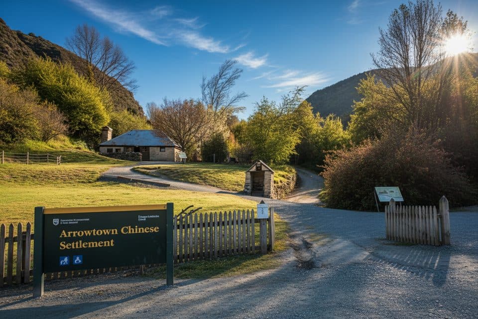
4.9 mi awayArrowtown Chinese SettlementGold-rush huts and stories tucked beside Arrow RiverExhibit · Parking
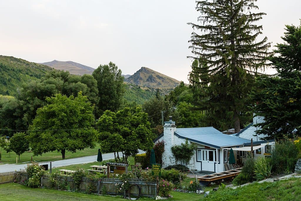
4.9 mi awayDudley's Cottage, ArrowtownHands-on gold panning and café at a historic Arrowtown cottageFood · Store
5 mi awaySawpit Gully TrackGold mining history and big views on a punchy Arrowtown loop.Moderate · 4.8 mi · 2.5 hr
5 mi awayCoronet Face Water Race TrackHistoric traverse with huge Wakatipu views and a few spicy edgesModerate · 3.7 mi · 1.3 hr
5 mi awayBuckingham StreetArrowtown’s gold‑rush main street of heritage shopfrontsParking · Restroom
5.2 mi awayWilcox GreenOpen riverside green with standout autumn color and easy strollsParking · Scenic Viewpoint