Parking
Butlers Green carpark by the Arrowtown Historic Chinese Settlement; start on the Arrow River Trail to the signed Sawpit Gully turnoff.
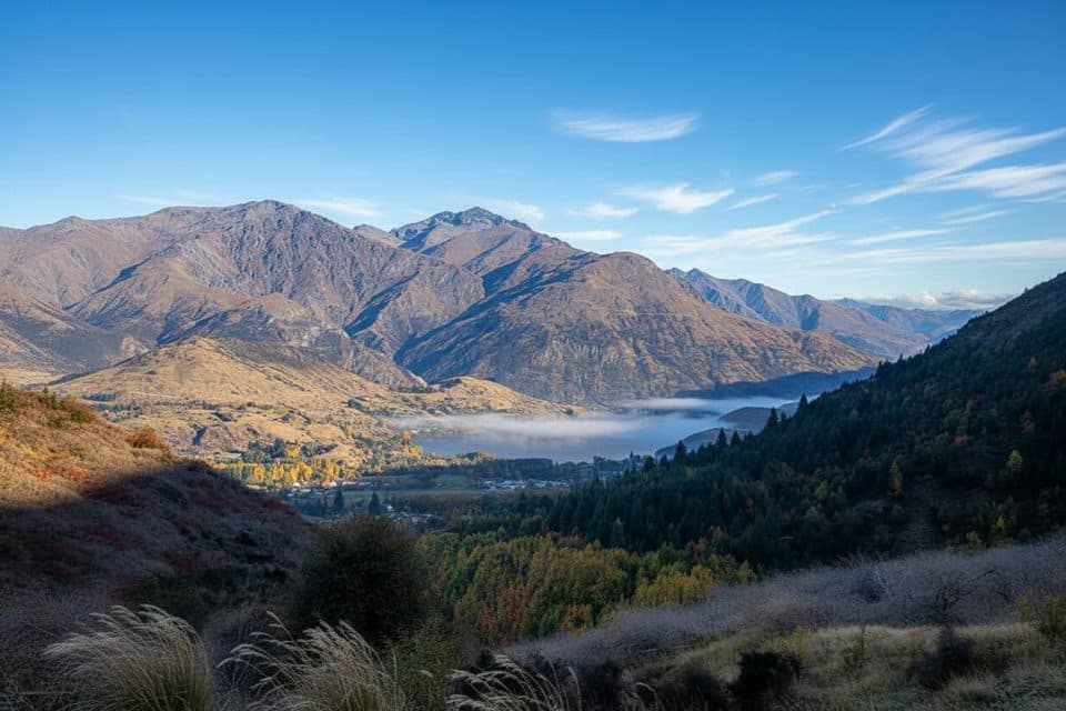
Queenstown-Lakes District, New Zealand, OT
Gold mining history and big views on a punchy Arrowtown loop.
Overview
A local classic just 20 minutes from Queenstown, this moderate loop packs a lot into roughly 4.8 miles total with about 1,300 feet of climbing. Expect a greatest‑hits mix of shady beech pockets, open tussock slopes, a slice of Arrow River gorge, and wide views toward Lake Hayes, the Remarkables, and the Wakatipu Basin. The route also threads through Arrowtown’s gold‑rush past, with remnants of water races, stone tailings, and a lone miner’s hut to spot along the way.
Map & elevation
Plan your hike

The highest, rockiest slopes around here are a summer buffet for grizzly bears.
Queenstown-Lakes District Tour Guide
Parkwolf is a GPS audio tour guide for Queenstown-Lakes District, New Zealand. As you drive, it chimes in with what’s ahead: hidden gems, upcoming stops, history, geology, and wildlife, right through your car’s speakers.
See the Queenstown-Lakes District audio tourRecorded for this trailhead
Exploring Historic Arrowtown and the Gold Rush“You're pulling into historic Arrowtown. The main road, Buckingham Street, is a preserved gold-rush era street where the old timber and stone buildings now hold cafes and boutiques.”
Plays as you drive up to this trailhead in the Parkwolf Queenstown-Lakes District Tour Guide.
More stories near here in the app
“Fantastic app with many points of information… It’s great to just turn on while you’re driving and it gives you an audio tour of the national Park. We love it!!!!”


Trail guide
Start from Arrowtown’s Butlers Green by the Historic Chinese Settlement and follow the Arrow River Trail. About 1.5 km in, take the signed left up Sawpit Gully; if you reach the Norman Smith Footbridge, you’ve gone too far. Anti‑clockwise is the preferred direction for a gentler, more sustained climb. The track climbs to a saddle between German Hill and Brow Peak, then descends through historic Sawpit Gully, passing the Big Hill Track junction before looping back to town. There’s a brief rock scramble near the turnoff and several small creek crossings. A shorter taste is possible as an out‑and‑back (about 2.4 miles total) turning around in the gully.
Rated moderate, with a few steep, rough sections and narrow benched bits with short drop‑offs that can rattle anyone uneasy with heights. Crossings are usually straightforward but run higher after rain. Expect mud and slick footing when wet, and icy patches in winter. Avoid poor weather—this track feels far less friendly when it’s sloppy or frozen.
Park at Butlers Green, then use the Arrow River Trail connector to the Sawpit Gully turnoff; the mileage above includes the full loop. The track crosses private land—stay on the marked route. No dogs, and no bikes or motorbikes. Waterproof footwear pays off for the creeks; poles can be awkward on the narrow sidles. From the saddle, a rough, unmarked side trip up German Hill expands the views if you have the legs and conditions are stable.
Watch for beech forest pockets low down, tussock and open grass slopes higher up, and scattered gold‑mining relics in the gully—including a small stone hut on a terrace before the final climb.
Wildlife
 189 sightingsKeaMost seen around 5 PMSighting map
 18 sightingsKākāMost seen around 6 PMSighting map
 195 sightingsKererūMost seen around 10 AMSighting map
 48 sightingsWekaMost seen around 6 PMSighting map
 239 sightingsTūīMost seen around 8 AMSighting map
 97 sightingsBellbirdMost seen around 6 AMSighting map
Sighting maps show where each species has been reported across Queenstown-Lakes District. Wildlife moves, so no sighting is guaranteed.
Keep exploring
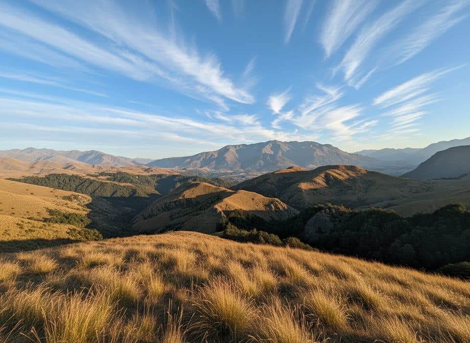 ChallengingBig Hill Track15.1 km · 5.5 hr · 0.1 km awayHistoric gold-era bridle route from Arrowtown to Big Hill Saddle with broad Otago views
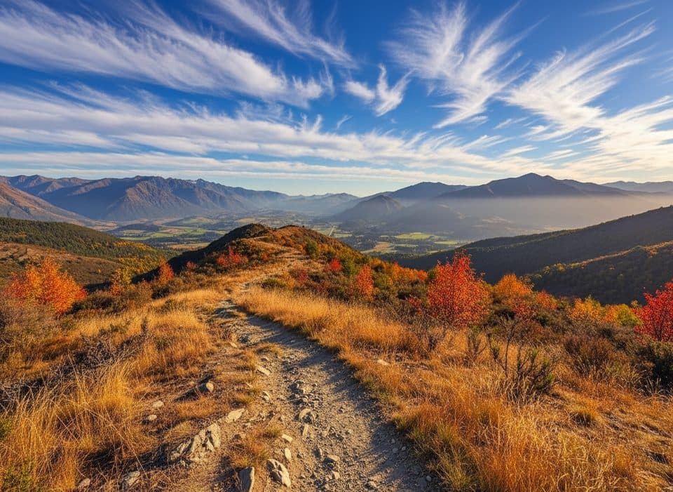 ModerateNew Chum Gully Track7.5 km · 3 hr · 0.9 km awayArrowtown loop over Tobins and New Chum Gully with exposed ridge views
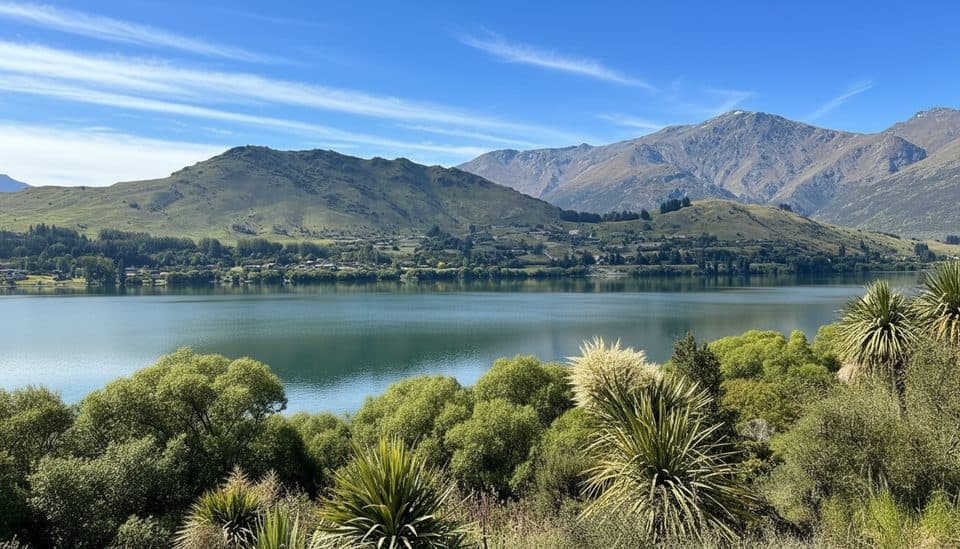 EasyLake Hayes Walkway8 km · 2.5 hr · 3.6 km awayEasy 8 km lake loop with mountain views, a southern boardwalk, and autumn color.
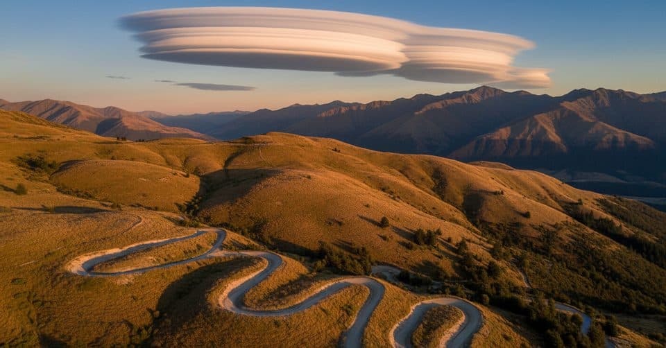 ModerateCoronet Face Water Race Track6 km · 1.3 hr · 9 km awayHistoric traverse with huge Wakatipu views and a few spicy edges
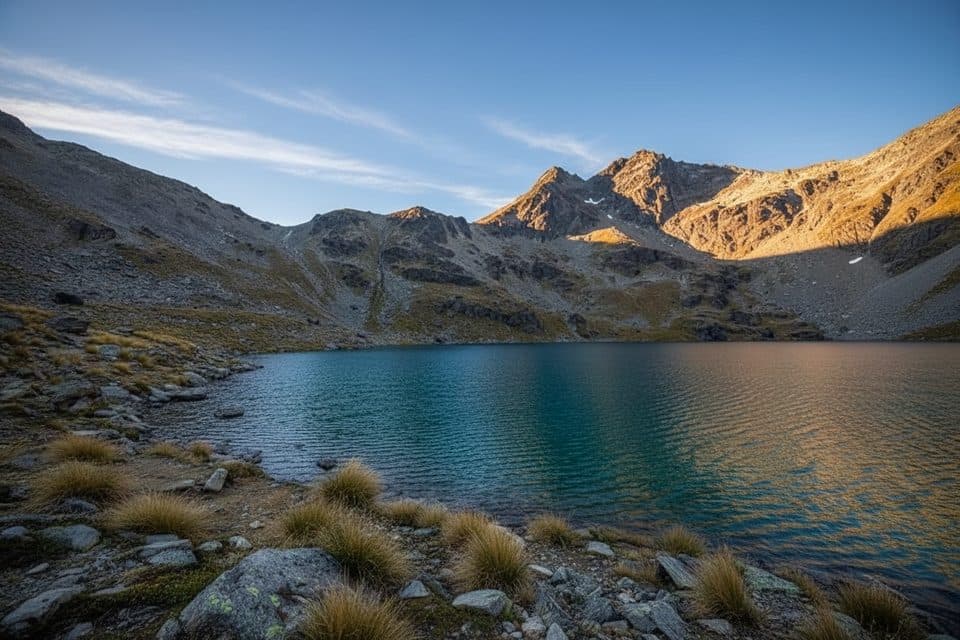 ModerateLake Alta Track3.4 km · 1.5 hr · 12.8 km awayA short, demanding climb from the Remarkables ski field to a high glacial lake.
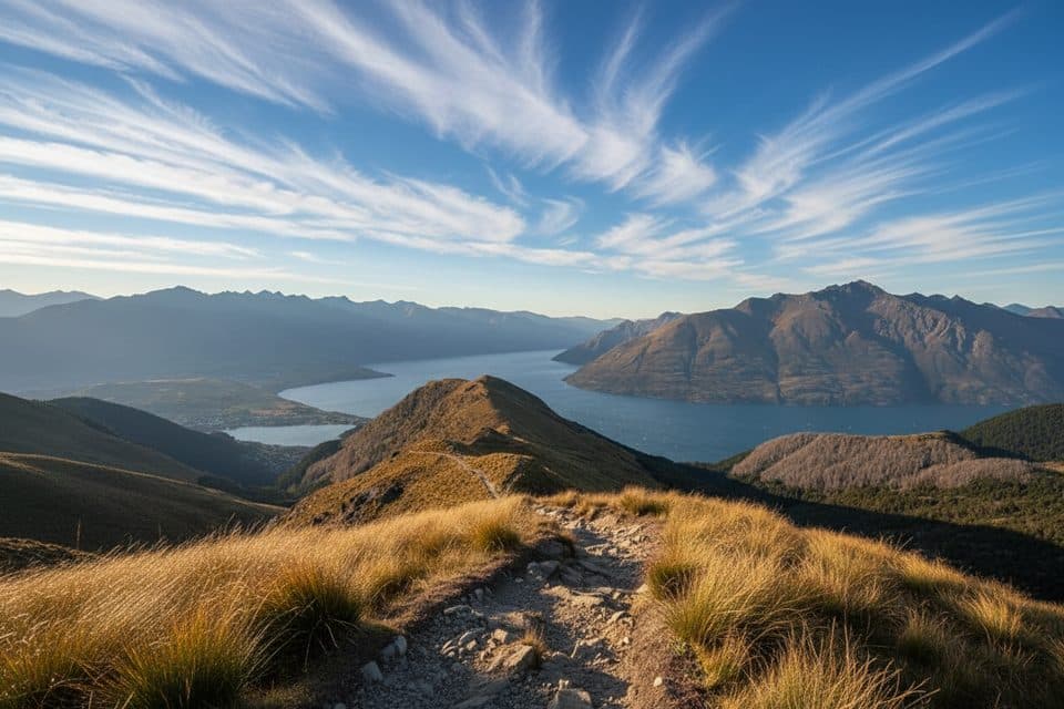 ModerateMoonlight Track14 km · 4.5 hr · 14.1 km awayHistoric one-way traverse from Arthur's Point to Moke Lake
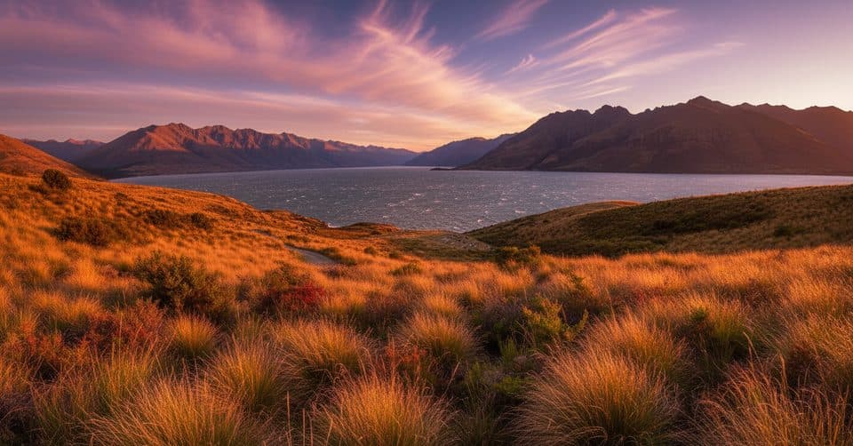 ModerateJacks Point Track12.6 km · 5 hr · 16 km awayExposed lakeside gravel track with big Lake Wakatipu and Remarkables views
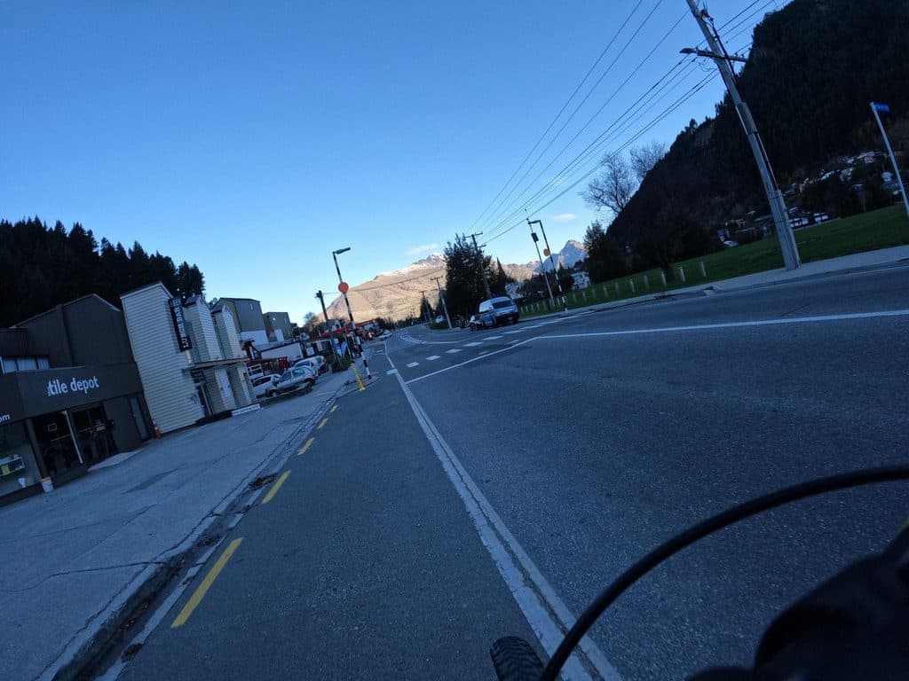 ModerateQueenstown Hill Time Walk5.5 km · 2.5 hr · 16.2 km awayA sustained 5.4 km return climb to Queenstown Hill views and the Basket of Dreams
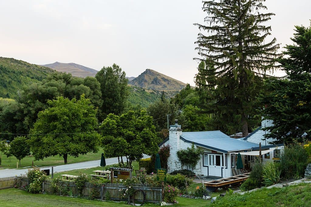 Sight · At the trailheadDudley's Cottage, ArrowtownHands-on gold panning and café at a historic Arrowtown cottage
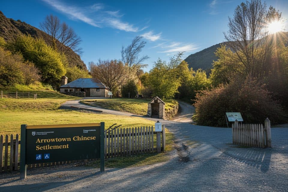 Sight · 0.1 km awayArrowtown Chinese SettlementGold-rush huts and stories tucked beside Arrow River
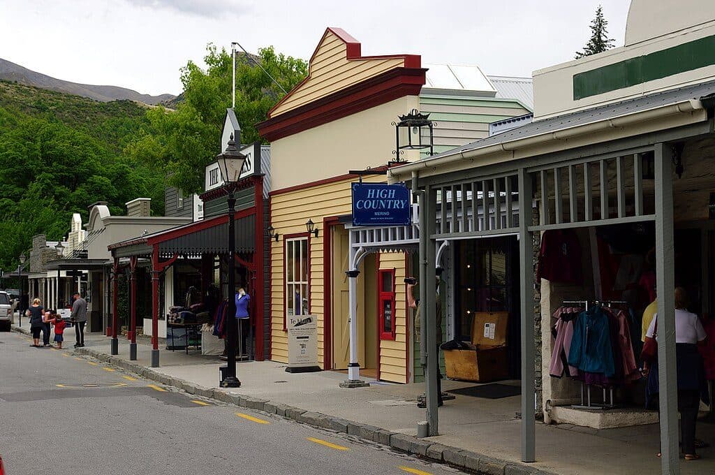 Sight · 0.2 km awayBuckingham StreetArrowtown’s gold‑rush main street of heritage shopfronts
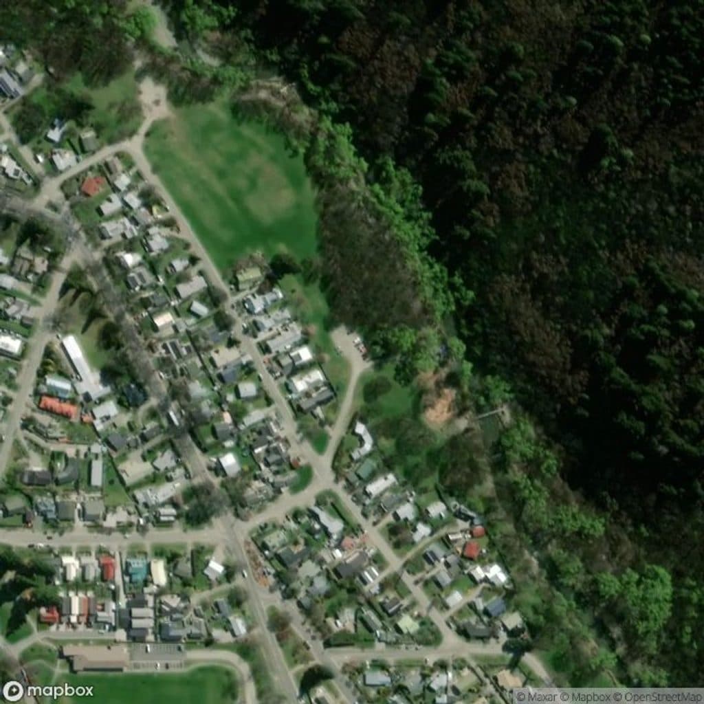 Picnic area · 0.8 km awayWilcox GreenOpen riverside green with standout autumn color and easy strolls
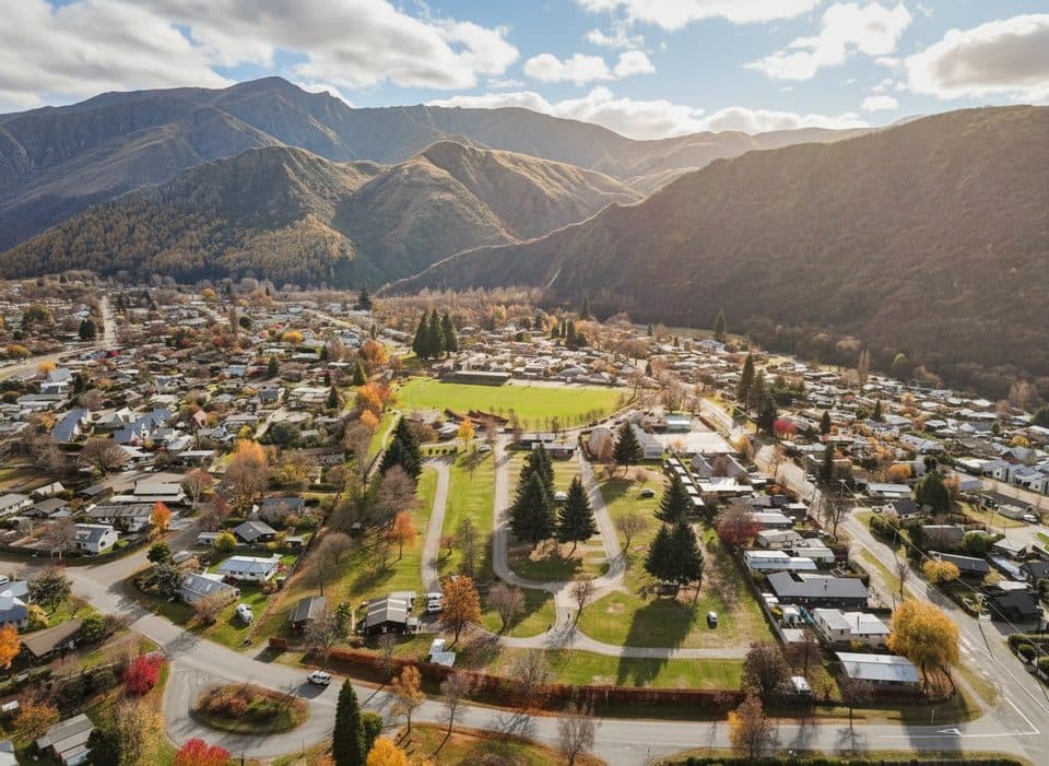 Campground · 0.9 km awayHampshire Holiday Park ArrowtownArrowtown base with sites, cabins, and a solid communal kitchen
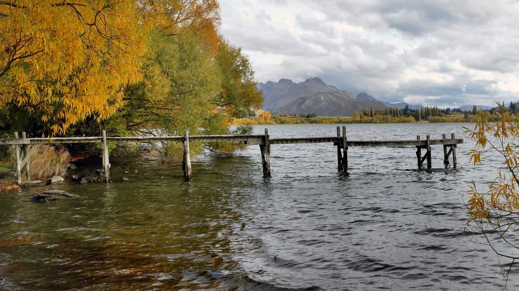
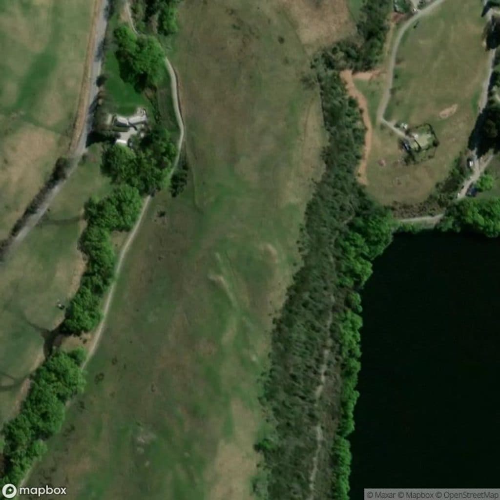 Sight · 3.8 km awayLake Hayes JettyMirror-calm jetty for easy golden-hour shots
 Sight · 5.2 km awayLake HayesMirror-calm lake loop with birds, reflections, and autumn color
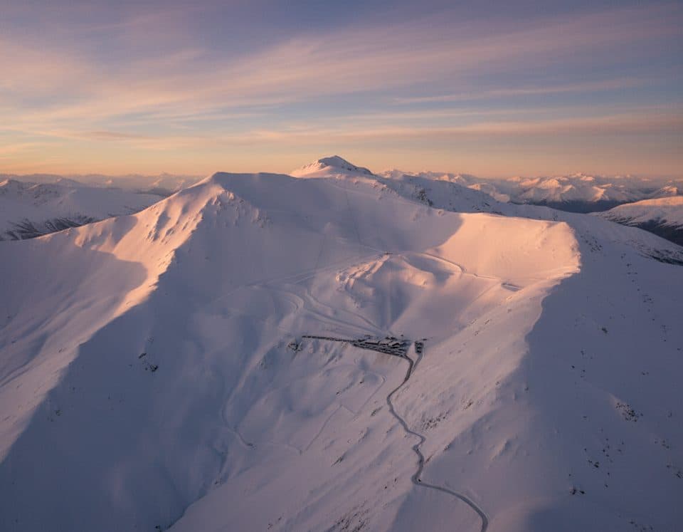 Sight · 7.5 km awayCoronet Peak Ski AreaQueenstown’s closest ski field with night skiing and big views
Parkwolf’s Queenstown-Lakes District ranking

The audio tour guide for the drive, plus offline maps, trails, and wildlife heatmaps for when the signal drops.




