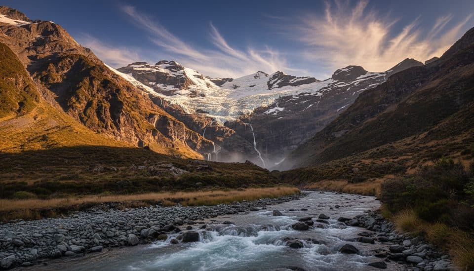
Parking
Start and finish at the Makarora West access on SH6. The Young Valley access is signposted about 2.5 km north of Makarora; arrange any jetboat access or Kerin Forks pickup in advance.
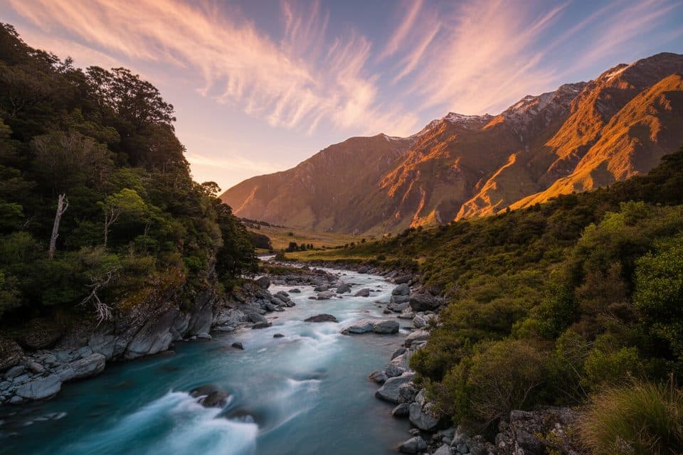
#5 of 37 trails in Queenstown-Lakes District
Queenstown-Lakes District, New Zealand, OT
Alpine tramping loop with big views and serious river decisions
Overview
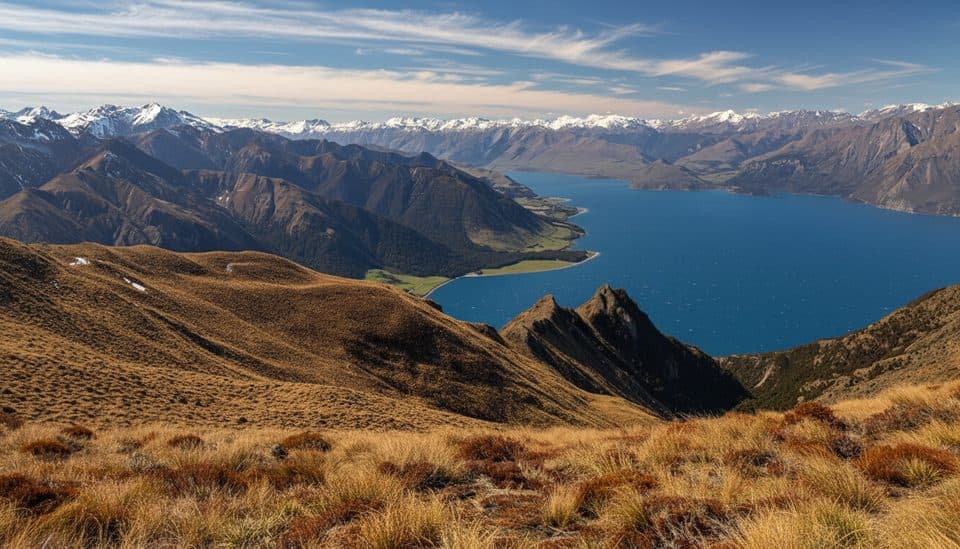
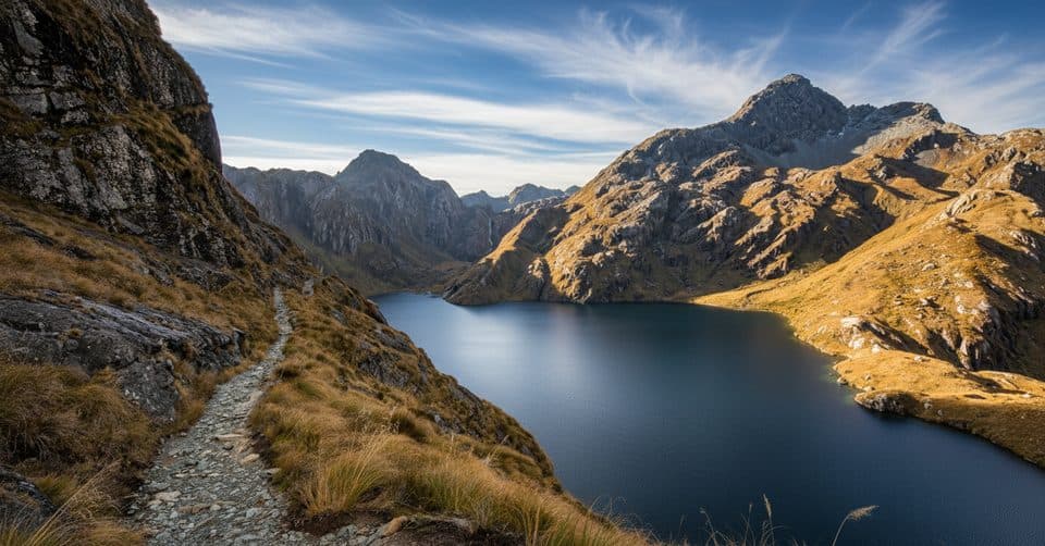
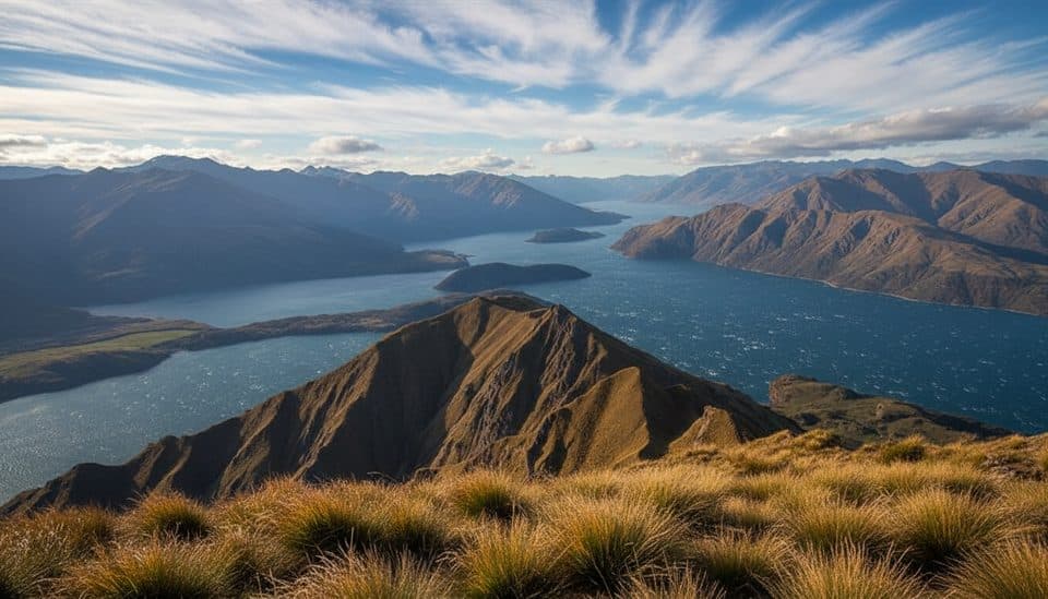
A serious 56 km loop in Mount Aspiring National Park, this 3–4 day circuit links the Young, Siberia, and Wilkin valleys with an alpine crossing of Gillespie Pass. Expect braided rivers, tussock basins, rugged peaks, and remote backcountry travel. This is an advanced tramping track for experienced parties.
Map & elevation
Plan your hike

The highest, rockiest slopes around here are a summer buffet for grizzly bears.
Queenstown-Lakes District Tour Guide
Parkwolf is a GPS audio tour guide for Queenstown-Lakes District, New Zealand. As you drive, it chimes in with what’s ahead: hidden gems, upcoming stops, history, geology, and wildlife, right through your car’s speakers.
See the Queenstown-Lakes District audio tourRecorded for this trailhead
Blue Pools: A Famous Walk to Icy Blue Water“The parking area you're nearing is for the famous Blue Pools Walk. It’s a very popular and fairly easy track through native beech forest that leads to two swing bridges.”
Plays as you drive up to this trailhead in the Parkwolf Queenstown-Lakes District Tour Guide.
More stories near here in the app
“Fantastic app with many points of information… It’s great to just turn on while you’re driving and it gives you an audio tour of the national Park. We love it!!!!”


Trail guide
The circuit can be walked clockwise or anti-clockwise. A common flow from Makarora West follows the Young Valley to Young Hut (20 km, 6–7 hr), crosses Gillespie Pass at about 1,600 m to Siberia Hut (12 km, 6–8 hr), then follows the Siberia and Wilkin valleys via Kerin Forks back toward Makarora (22 km, 7–8 hr). The 56 km visitor distance is the total circuit; the optional Lake Crucible side trip is not included. The descent from the pass is steep and slippery when wet.
Young Hut and Siberia Hut are serviced 20-bunk huts; bookings are required during the summer season. Young Forks is a first-come, first-served backcountry campsite with a shelter and toilet. Camping is not allowed around Young Hut or in Crucible Basin. Carry a tent because rivers, weather, and full huts can change plans.
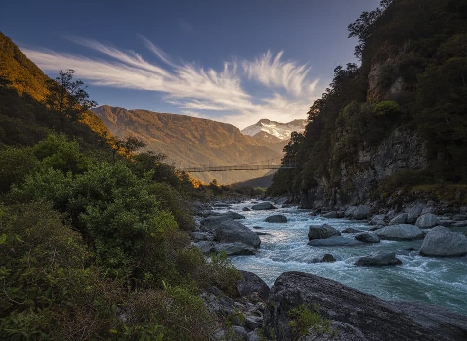
The route can begin from either the Wilkin/Makarora or Young/Makarora confluence. Access to the Young Valley is signposted about 2.5 km north of Makarora on SH6. The Young River Link Track provides a swing-bridge alternative to one Makarora River crossing. Commercial jetboats can provide access to the Young or Wilkin confluences and pickup from Kerin Forks, but all transport must be arranged in advance. There is no visitor centre in Makarora.
This circuit is for experienced trampers with strong river-crossing skills. The Makarora and Wilkin rivers, Gillespie and Siberia streams, and the creek near Siberia Hut can become uncrossable after rain. A natural dam hazard exists in the Young North Branch. Carry warm waterproof layers, navigation, spare food, and a PLB; expect slips, steep slippery ground, rapidly changing alpine weather, and avalanche terrain.
Wildlife
 189 sightingsKeaMost seen around 5 PMSighting map
 18 sightingsKākāMost seen around 6 PMSighting map
 195 sightingsKererūMost seen around 10 AMSighting map
 48 sightingsWekaMost seen around 6 PMSighting map
 239 sightingsTūīMost seen around 8 AMSighting map
 97 sightingsBellbirdMost seen around 6 AMSighting map
Sighting maps show where each species has been reported across Queenstown-Lakes District. Wildlife moves, so no sighting is guaranteed.
Keep exploring
Parkwolf’s Queenstown-Lakes District ranking

The audio tour guide for the drive, plus offline maps, trails, and wildlife heatmaps for when the signal drops.