Parking
Isthmus Peak Track/Stewart Creek car park off SH6, north of Lake Hāwea township. Park off the highway and cross SH6 carefully to the signed track start; do not park on the shoulder.

#6 of 37 trails in Queenstown-Lakes District
Queenstown-Lakes District, New Zealand, OT
A steep, exposed climb to big views over both Lake Wānaka and Lake Hāwea—bring strong legs, water and warm layers.
Overview
Isthmus Peak Track is a steep, rewarding out-and-back between Lake Wānaka and Lake Hāwea. From the Isthmus Peak Track car park beside SH6, cross to the signed track and follow the poled route along the true right of Stewart Creek through forest and farmland. The route then joins a steep, rocky 4WD track and climbs by sustained switchbacks to the skyline ridge. At the signed junction, turn right for 1,385-metre Isthmus Peak; the left branch leads toward Matatiaho Conservation Area and is not part of this hike. Return to the car park by the same route. Allow about 16 km/9.9 miles total and 5–7 hours return, with roughly 1,000 m/3,280 ft of climb.
Map & elevation
Plan your hike

The highest, rockiest slopes around here are a summer buffet for grizzly bears.
Queenstown-Lakes District Tour Guide
Parkwolf is a GPS audio tour guide for Queenstown-Lakes District, New Zealand. As you drive, it chimes in with what’s ahead: hidden gems, upcoming stops, history, geology, and wildlife, right through your car’s speakers.
See the Queenstown-Lakes District audio tourRecorded for this trailhead
Isthmus Peak Track: Big Views Without the Crowds“The parking area coming up is for the Isthmus Peak Track.”
Plays as you drive up to this trailhead in the Parkwolf Queenstown-Lakes District Tour Guide.
More stories near here in the app
“Fantastic app with many points of information… It’s great to just turn on while you’re driving and it gives you an audio tour of the national Park. We love it!!!!”


Trail guide
This is a continuous out-and-back visitor route. The stored line follows the connected access path, named Isthmus Peak Track path, and named Isthmus Peak Track 4WD track from the car park-side start to the mapped summit. The mapped one-way corridor is about 7.9 km/4.9 miles; the visitor distance is the return total. Expect a well-marked but steep, rocky ascent, exposed tussock and ridge walking, and sections where mountain bikers may need to dismount and push.
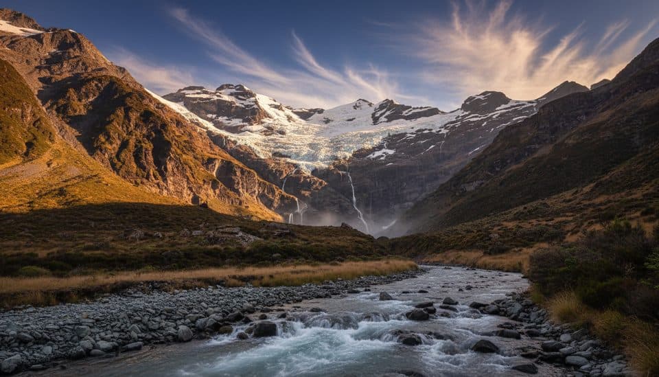
The summit and skyline ridge open views over both Lake Wānaka and Lake Hāwea, with the Southern Alps visible in clear weather. The route passes through forest, farmland and higher tussock terrain before reaching the summit ridge.
There is no water source on the track, so carry plenty of water. Two eco-toilets are reported along the route; bring toilet paper. The route crosses private land: stay on the marked track, leave gates as you find them, use stiles where provided, keep your distance from livestock and do not camp before the conservation-area boundary. Dogs are not allowed. Mountain biking is permitted, but the steep sections often require pushing.
Park only at the Isthmus Peak Track/Stewart Creek car park off SH6, north of Lake Hāwea township and about 30 minutes from Wānaka. The car park is opposite the track start, so cross the highway carefully and follow DOC signs. Do not park on the highway shoulder.
Wildlife
 189 sightingsKeaMost seen around 5 PMSighting map
 18 sightingsKākāMost seen around 6 PMSighting map
 195 sightingsKererūMost seen around 10 AMSighting map
 48 sightingsWekaMost seen around 6 PMSighting map
 239 sightingsTūīMost seen around 8 AMSighting map
 97 sightingsBellbirdMost seen around 6 AMSighting map
Sighting maps show where each species has been reported across Queenstown-Lakes District. Wildlife moves, so no sighting is guaranteed.
Keep exploring
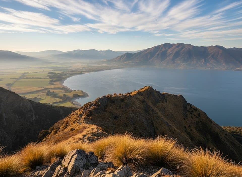 ChallengingBreast Hill Track (Pakituhi Track)8.2 km · 6 hr · 14.8 km awaySteep 5.1-mile hut out-and-back with huge Lake Hāwea views
 ChallengingGillespie Pass Circuit56 km · 21 hr · 22.7 km awayAlpine tramping loop with big views and serious river decisions
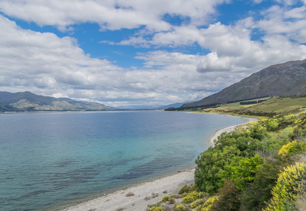 Sight · 4.5 km awayLake HāweaBig blue alpine lake for wind sports, swims, and quiet beach time
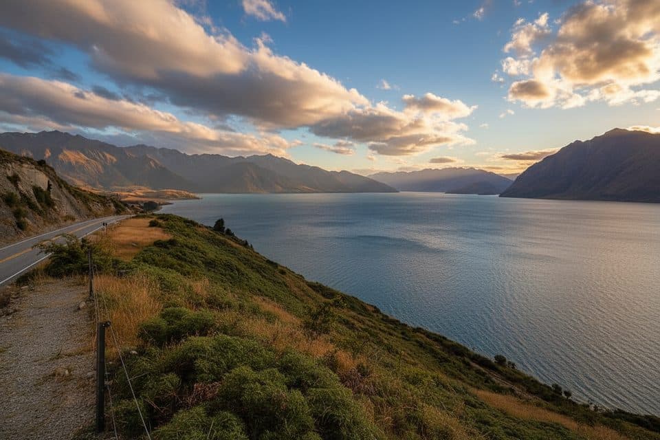 Scenic pullout · 4.9 km awayLake Hawea LookoutRoadside panorama of Lake Hāwea and the Southern Alps
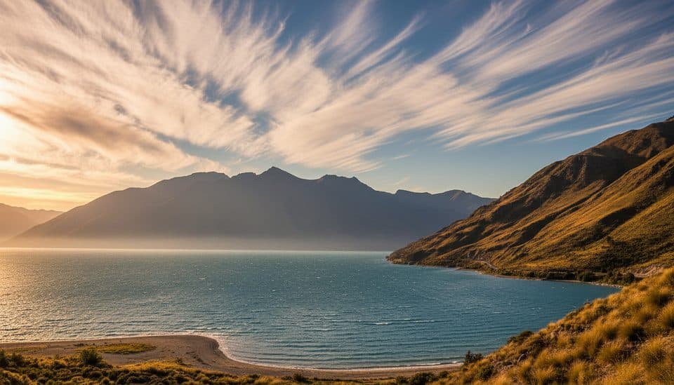 Scenic pullout · 5.1 km awayThe Neck LookoutRoadside saddle with twin-lake views of Wānaka and Hāwea
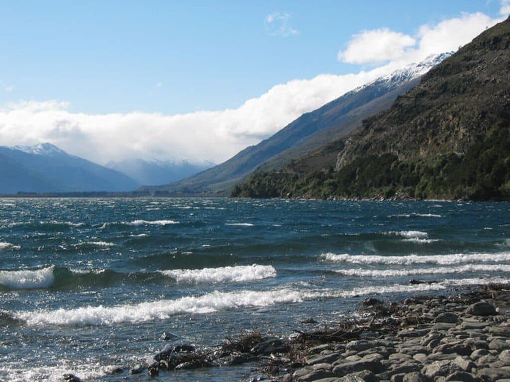 Sight · 13.1 km awayLake WānakaAlpine lake basecamp for adventures and four season scenery
Parkwolf’s Queenstown-Lakes District ranking

The audio tour guide for the drive, plus offline maps, trails, and wildlife heatmaps for when the signal drops.