Moderate

Rob Roy Glacier Track

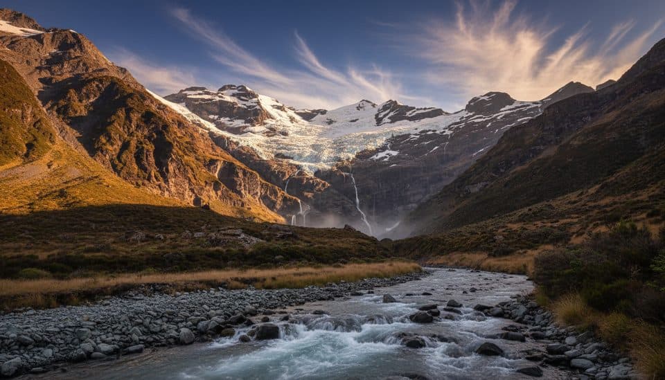
Classic half-day to a roaring hanging glacier and waterfall amphitheater.
Rob Roy Glacier Track, Queenstown-Lakes District, New Zealand
Distance6.4 mi
Typical time3.5 hr
DifficultyModerate
PetsNot allowed

Overview

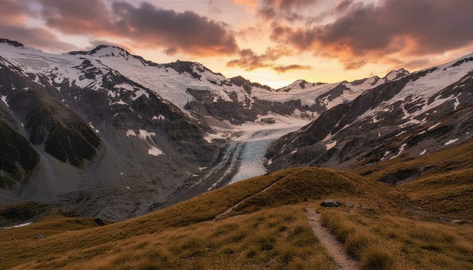
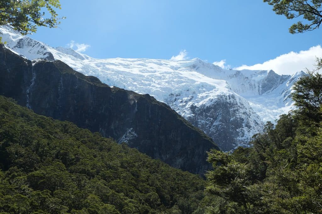
If you want big alpine drama without a full-day sufferfest, this is your move. The Rob Roy Glacier Track packs beech forest, a swing bridge over the West Matukituki, and a front-row seat to an active hanging glacier—often with the soundtrack of distant avalanches. It’s an out-and-back of about 10–10.3 km total (roughly 6.4 miles) with around 450–472 m of gain. The grade is steady rather than brutal, and older kids with some fitness can handle it.

Route, Lookouts, and What You’ll See

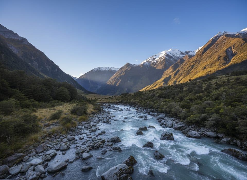
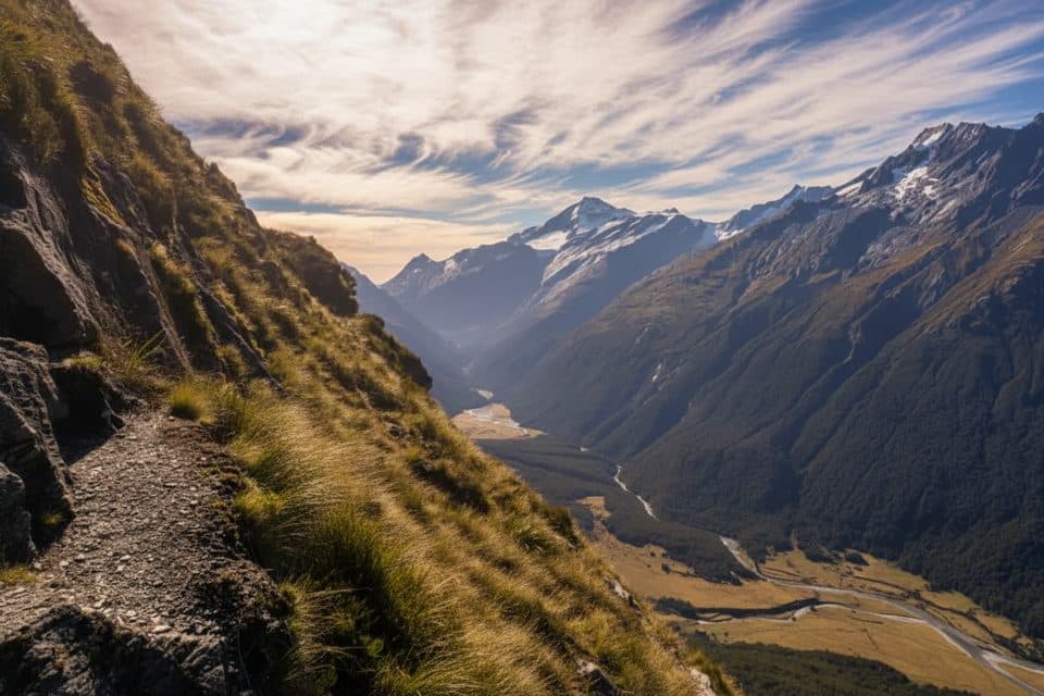
From Raspberry Creek car park, it’s about 15 minutes to the swing bridge—mind the posted capacity. Beyond, the track climbs through lush beech forest thick with ferns and mosses, following Rob Roy Stream. You’ll reach a lower lookout first; nice teaser, but keep going. The upper lookout breaks above the bushline into an amphitheater of glaciers and countless waterfalls. Pro tip: between the lower and upper lookouts a dry streambed can confuse the eye—ignore any steep unmarked path and aim for the orange marker to stay on the formed track. The official trail ends at the upper lookout; beyond lies unstable terrain, steep drop-offs, and fast water—don’t push past it.

Getting There (Read This Before You Drive)

The trailhead is 54 km west of Wānaka at the Raspberry Creek car park. The last ~30 km are gravel, and the final stretch includes several shallow fords that can become impassable after heavy rain (sometimes even for 4WD). After about 24 hours of little or no rain, fords are usually passable for 2WD—but conditions change fast. Many rental policies exclude unsealed roads and water crossings, so check yours. Prefer not to drive? Shuttles and guided trips run from Wānaka. Always check weather and road conditions with the DOC office before you roll.

Best Time to Hike

Outside the May–November avalanche season, you can usually continue beyond the lower lookout to the upper viewpoint. During May–November, avalanches are most common on the section between the lookouts—DOC strongly recommends turning around at the lower lookout unless you’re avalanche-trained, properly equipped, and have checked conditions. For photos, aim for early or late in the day; midday light can be harsh on the glacier.

Wildlife and Vibes

This valley often hosts chatty kea—brilliant, mischievous alpine parrots. Enjoy the show, but don’t feed them and guard your snacks and shiny gear. Compared with the nearby Roys Peak mission, this track feels more varied, more intimate, and typically less of a conga line.

Facilities and Practicalities

Toilets are at the car park (water there isn’t potable) and again between the lower and upper lookouts. Parts of the access cross private farmland—stay on the marked route, leave gates as you find them, and respect stock. No permits or bookings are needed for this day walk. Wear sturdy footwear; poles help on the descent and when it’s icy in winter/early spring.

Safety Snapshot

  • Avalanche exposure May–November between the lookouts—turn back at the lower lookout unless you have the training, gear, and current info.
  • The gravel access road and fords can become impassable after rain—don’t risk crossings you’re unsure about.
  • Respect swing-bridge limits and stay within the signed track at the upper lookout.

Pros

  • Upper lookout delivers a close, panoramic view of an active hanging glacier with countless waterfalls.
  • Frequent kea encounters add a uniquely New Zealand flavor to the day.

Cons

  • Access road has multiple fords; after rain they can be impassable and many rentals aren’t insured for it.
  • Avalanche paths between lookouts (May–Nov) can limit you to the lower viewpoint.

Parking

Raspberry Creek car park, 54 km west of Wānaka via the Wānaka–Mount Aspiring Road. Last ~30 km are gravel with several fords near the end. Toilets at the car park (water not potable); generally ample parking.

Caution

Avalanche risk May–Nov between lower and upper lookouts; do not go past the upper lookout. Gravel road fords can be impassable after rain and may void rental insurance. Icy sections possible in winter/early spring; respect swing-bridge limits and private land.

The Parkwolf tour guide sitting on a phone mounted in a car

Parkwolf Tour Guide

Like a tour guide in your car.

Bring Queenstown-Lakes District trail research into the car, with offline maps and stories that play as you drive.Download Parkwolf on the App Store