Challenging

Ben Lomond Track

Queenstown’s big view climb to a 1,748 m alpine summit
Ben Lomond Track, Queenstown-Lakes District, New Zealand
Distance6.8 mi
Typical time6 hr
DifficultyChallenging
PetsNot allowed

Overview

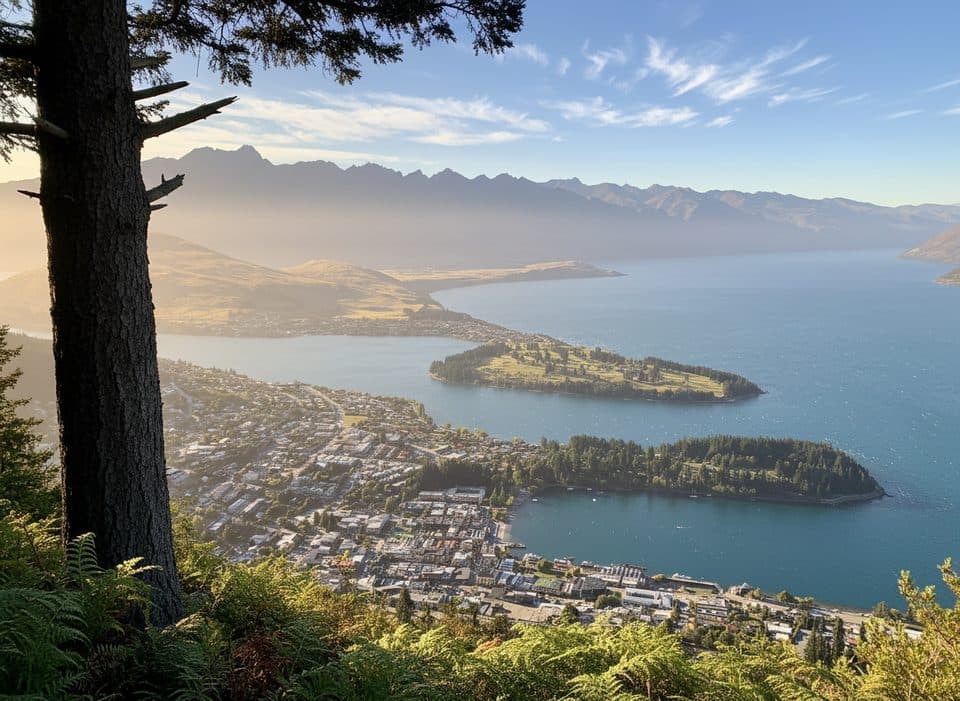
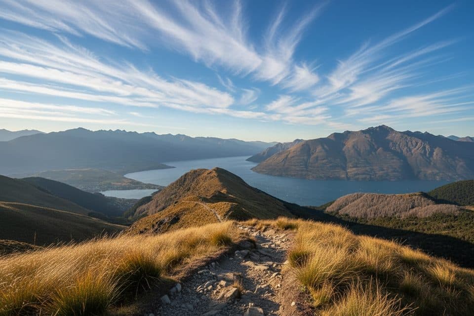
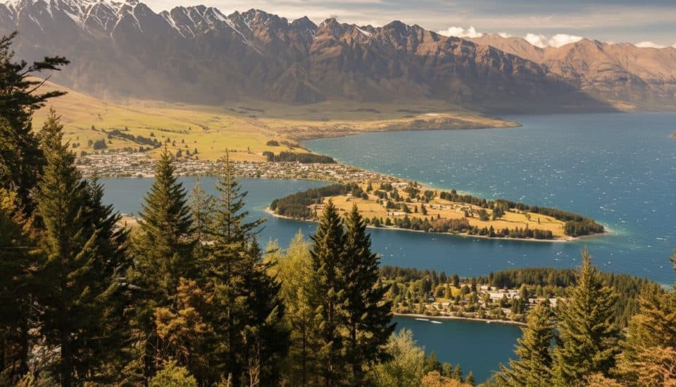
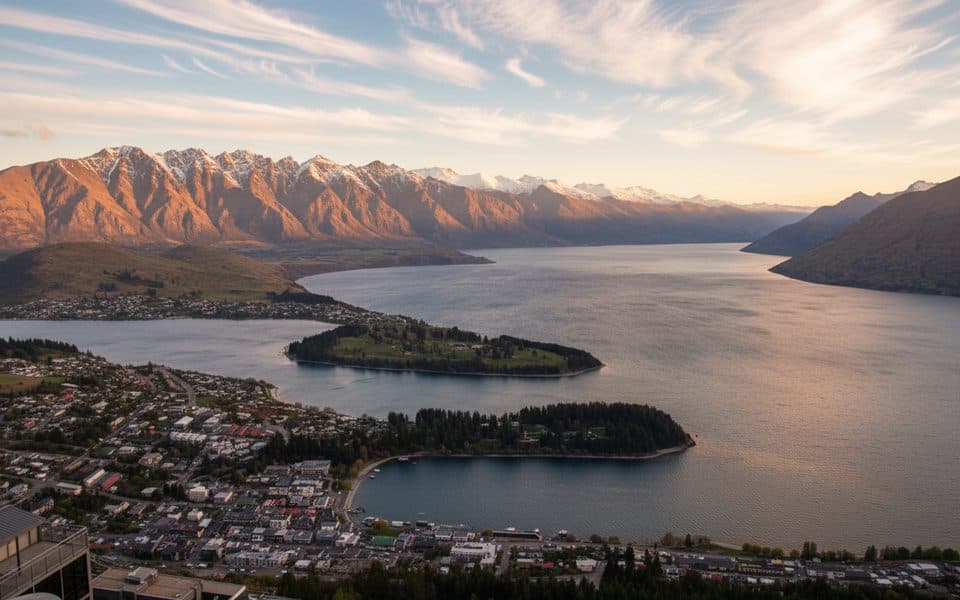
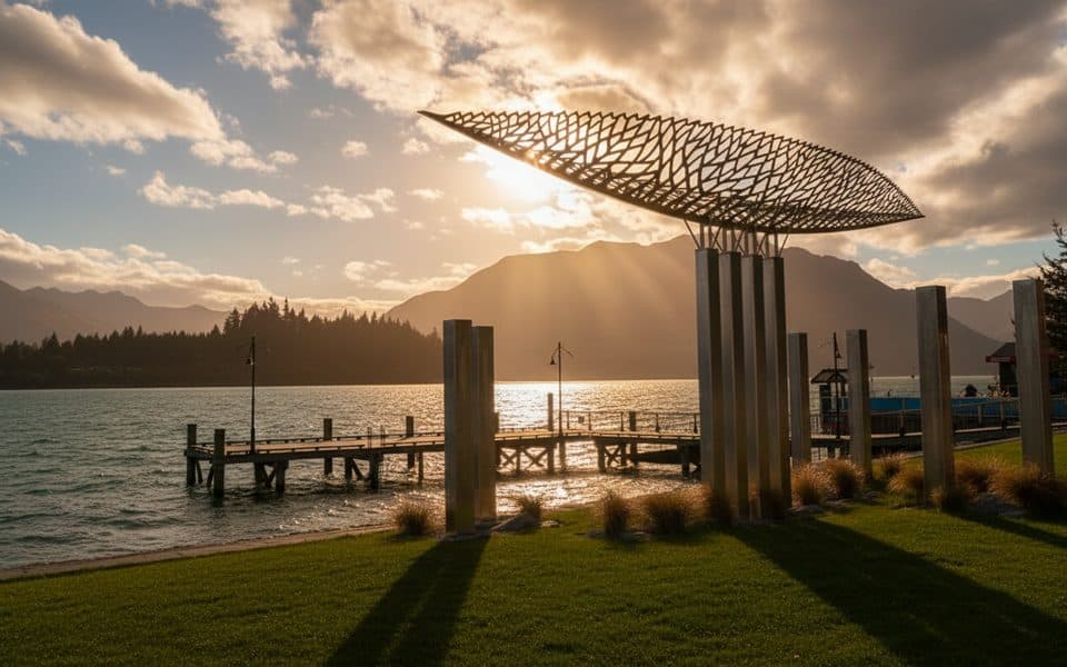
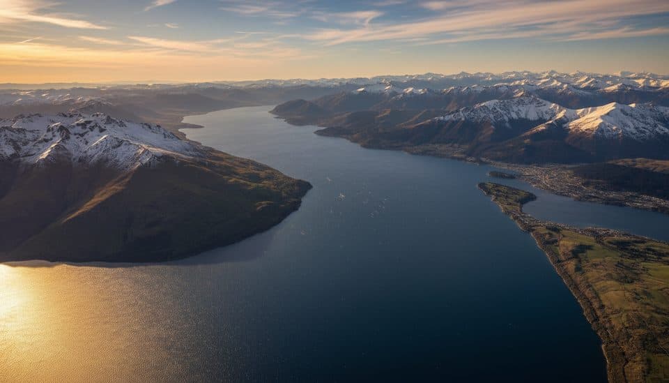
If you want the biggest bang-for-effort views in Queenstown, this is it. Ben Lomond is a sustained climb with constant payoff—broadening panoramas over Lake Wakatipu and the Remarkables all the way to a 360‑degree summit at 1,748 m. Expect a well‑formed track to the Saddle, then a steeper, rougher, more exposed push to the top. The route is popular and well signed. It’s known in te reo Māori as Te‑taumata‑o‑Hakitekura.

Route options

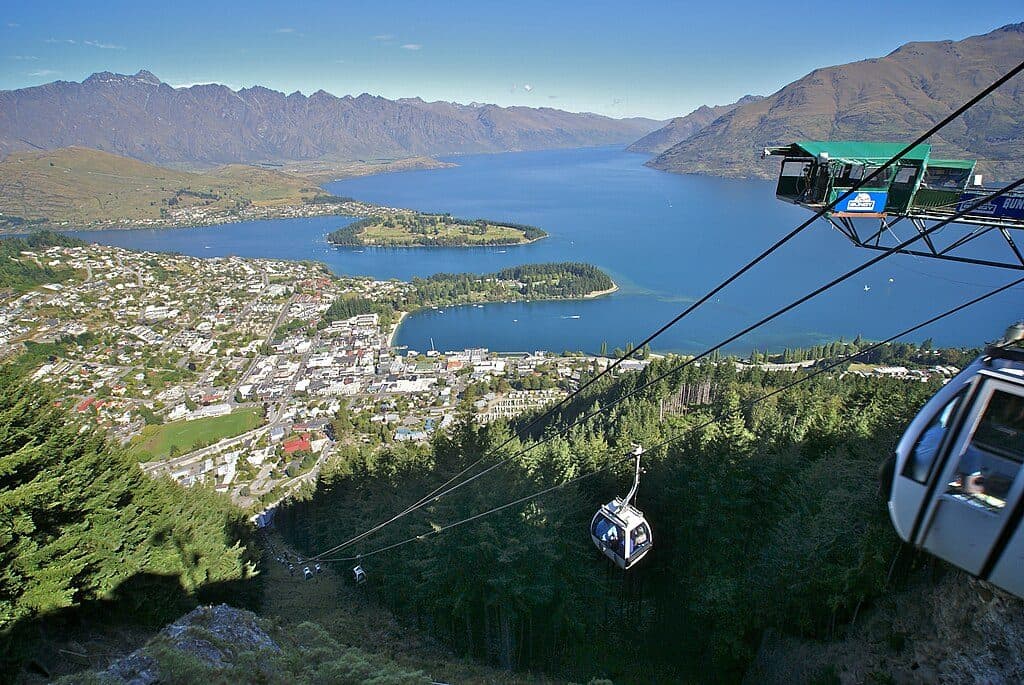
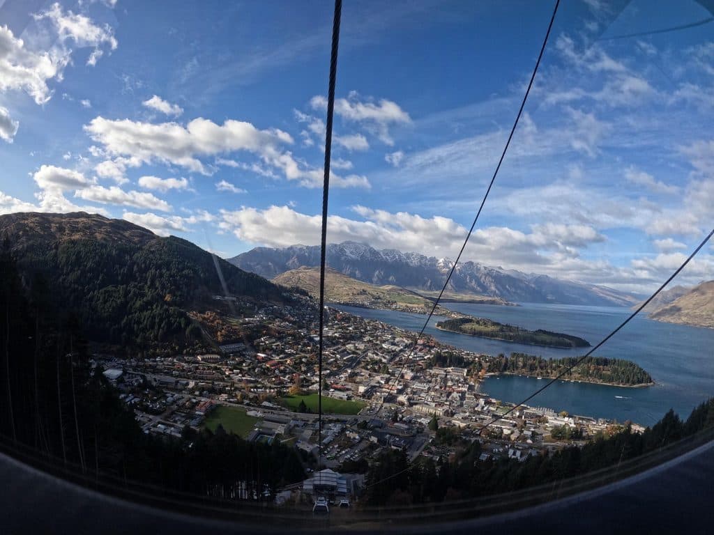
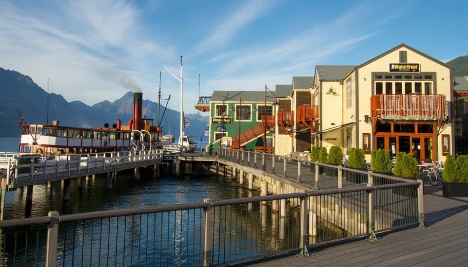
Most hikers either ride the Skyline Gondola to Bob’s Peak or hike the steep Tiki Trail from Brecon Street. From the gondola top to the summit is about 11 km/6.8 miles round trip; allow roughly 6 hours total. A shorter option to Ben Lomond Saddle is about 7.7 km/4.8 miles round trip and takes 3–4 hours. Starting in town via the Tiki Trail to the summit is roughly 14 km/8.7 miles round trip and typically 6–8 hours. Total ascent is around 1,033 m/3,389 ft from the gondola or about 1,438–1,483 m from town.

What you’ll see

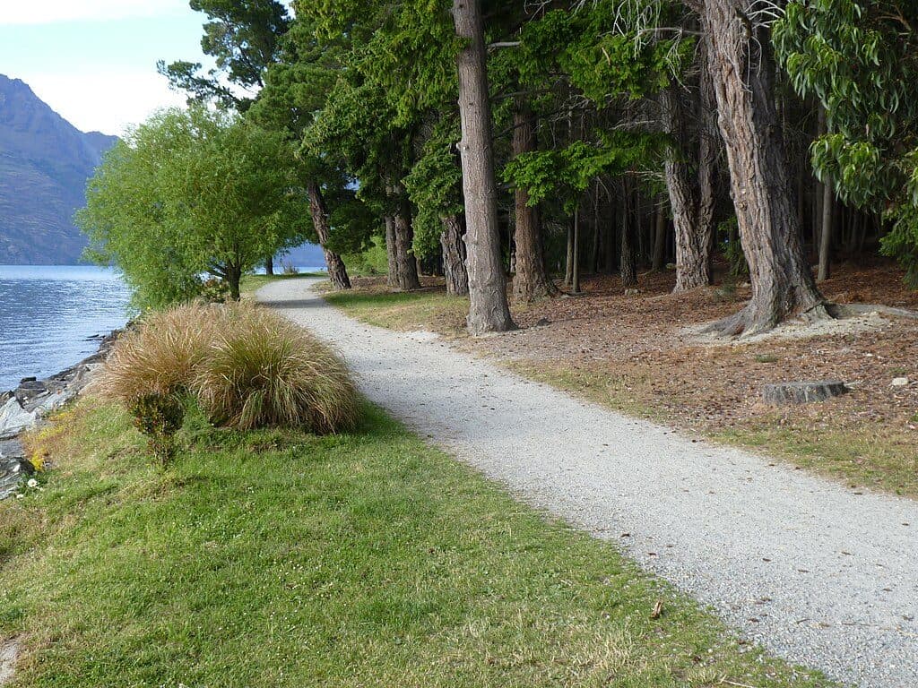
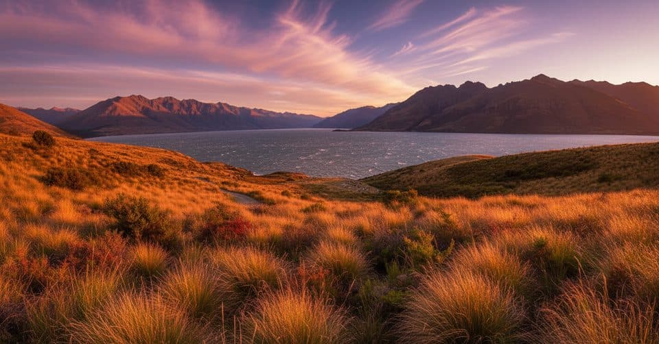
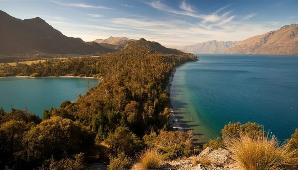
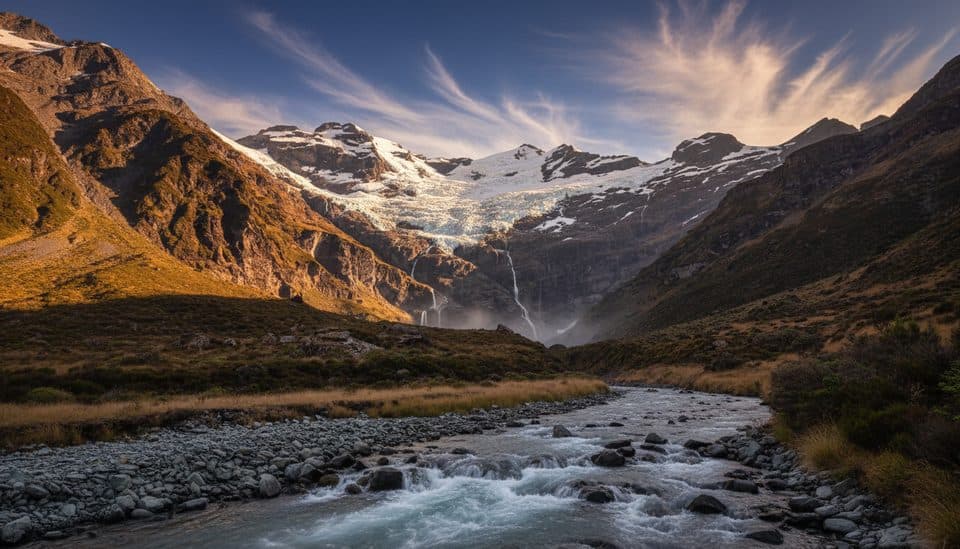
You’ll begin in dark Douglas fir (with pockets of mountain beech), then break above the treeline into open alpine tussock with big, widening views. The track to the Saddle is steady and well‑graded; above it, the path narrows and steepens with looser rock and schist boulders underfoot. Even the Saddle serves up superb vistas; from the summit you’ll scan the Remarkables and across to Cecil and Walter Peaks, with distant high peaks sometimes visible on the clearest days.

Best time to hike

November to April brings longer, more stable days and generally snow‑free travel to the summit. Winter and shoulder seasons often mean snow and ice beyond (and sometimes to) the Saddle; only proceed with proper alpine experience and gear. Whatever the season, start early for cooler temps, gentler light, and fewer people; there’s very little shade once you leave the forest.

Logistics and tips

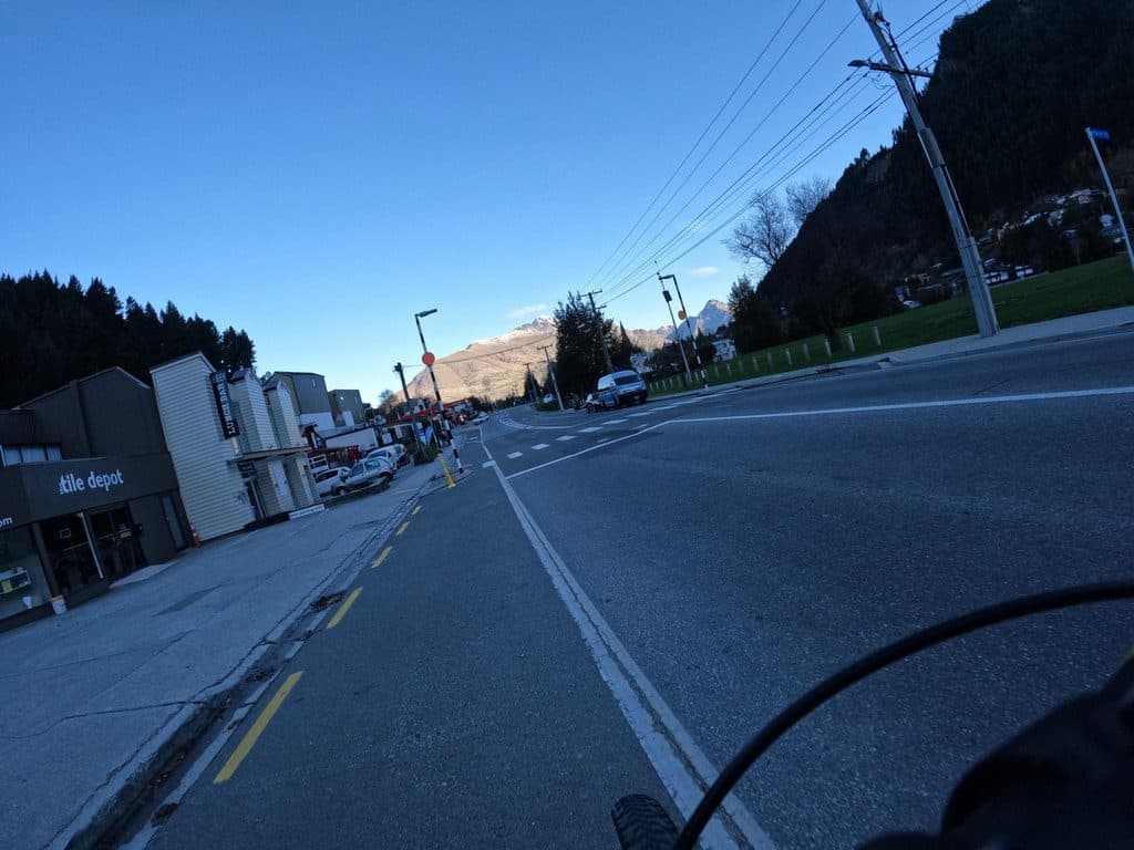
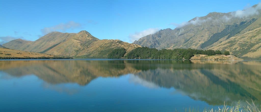
There’s no reliable water beyond the Skyline complex—carry everything you need (aim for 2–3 L; more if starting in town). Toilets are at the Skyline top and about 100 m before the Saddle. Expect intersections with downhill mountain‑bike trails lower down—follow signs for the walking track. The summit route crosses private farmland above the Saddle; stay on the formed track and respect stock. A year‑round outdoor fire ban applies. Good boots, wind/rain layers, sun protection, and trekking poles pay dividends. Parking near the Queenstown trail access is limited to short stays; consider all‑day parking on streets like Man Street or Robins Road, or simply walk from town. Ambitious hikers can connect from the Saddle to the Moonlight Track toward Moke Lake/Arthurs Point, but that requires separate transport.

Pros

  • Skyline Gondola option lets you tailor distance and elevation to your day
  • Well‑formed, upgraded path to the Saddle with clear signage and wayfinding

Cons

  • No reliable water past the Skyline complex—must carry all you need
  • Summit push is steep, loose, and exposed, especially risky with snow or ice

Parking

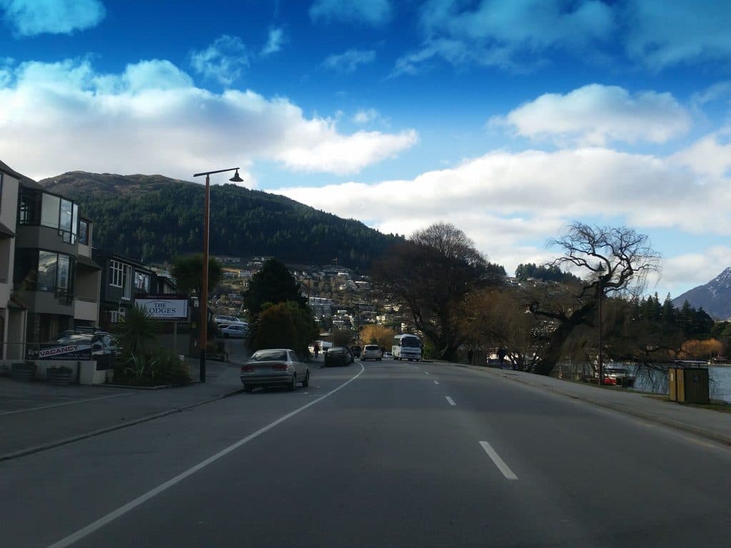
Access near the Skyline Gondola base on Brecon Street; nearby street parking is typically limited to 4 hours. For all‑day options, park farther out on streets like Man Street or Robins Road, or walk from central Queenstown.

Caution

Little shade and no water after the Skyline complex; steep, narrow, and loose terrain above the Saddle with exposure; winter snow/ice common; intersections with downhill MTB trails—follow walking signs; private land above the Saddle—stay on track; year‑round outdoor fire ban.

The Parkwolf tour guide sitting on a phone mounted in a car

Parkwolf Tour Guide

Like a tour guide in your car.

Bring Queenstown-Lakes District trail research into the car, with offline maps and stories that play as you drive.Download Parkwolf on the App Store