Parking
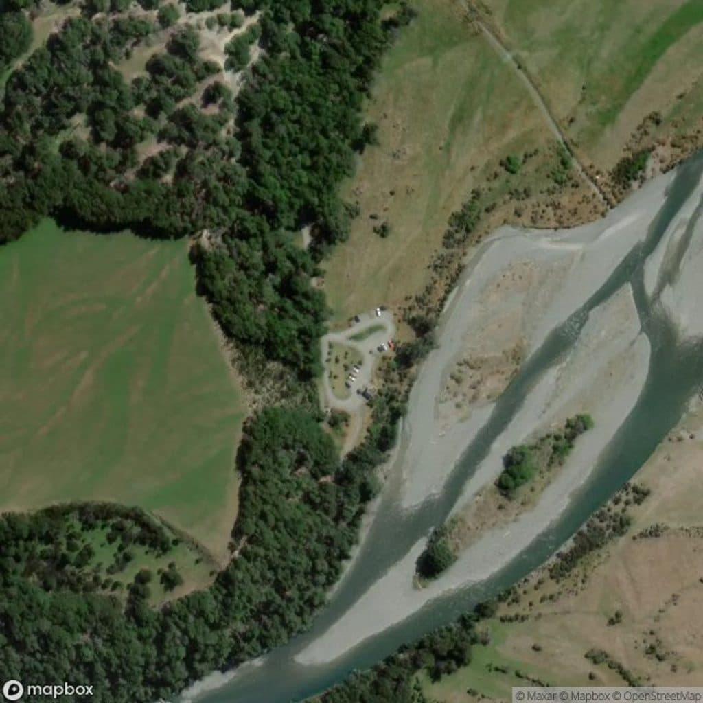
Small informal roadside parking on Lovers Leap Road, a right turn off the gravelled Glenorchy–Paradise Road about 20 minutes from Glenorchy; the track starts on the true left bank of Earnslaw Burn. No public transport.
#7 of 37 trails in Queenstown-Lakes District
Queenstown-Lakes District, New Zealand, OT
A rough, technical tramp to an icefall viewpoint in a glacier-carved valley
Overview
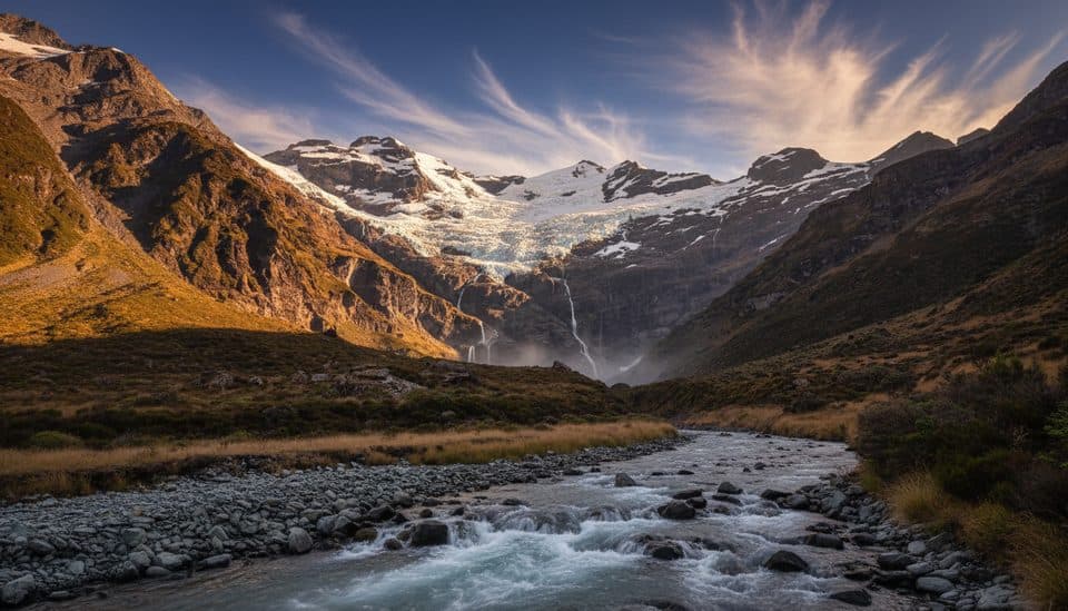
Earnslaw Burn Track is a rough, technical out-and-back through beech forest to a forest-edge viewpoint with impressive views of an icefall on Mt Earnslaw/Pikirakatahi. The official DOC track is 8.3 km one way (about 16.6 km / 10.3 miles return) and takes 4–6 hours one way (about 8–12 hours return). The route starts on the true left bank of Earnslaw Burn partway along Lovers Leap Road, about 20 minutes from Glenorchy. DOC describes the track as advanced and warns of windfall, slips and river crossings. The track ends at the forest edge; there is no marked or DOC-managed track beyond it. The waterfalls farther up the valley are an optional, unmarked extension outside this stored route and the DOC track time.
Map & elevation
Plan your hike

The highest, rockiest slopes around here are a summer buffet for grizzly bears.
Queenstown-Lakes District Tour Guide
Parkwolf is a GPS audio tour guide for Queenstown-Lakes District, New Zealand. As you drive, it chimes in with what’s ahead: hidden gems, upcoming stops, history, geology, and wildlife, right through your car’s speakers.
See the Queenstown-Lakes District audio tourRecorded for this trailhead
Earnslaw Burn Track: A Hike to a Waterfall Wall“Up ahead is the trailhead for the Earnslaw Burn Track. This is a challenging, full-day out-and-back hike that follows a river deep into a glacier-carved valley.”
Plays as you drive up to this trailhead in the Parkwolf Queenstown-Lakes District Tour Guide.
More stories near here in the app
“Fantastic app with many points of information… It’s great to just turn on while you’re driving and it gives you an audio tour of the national Park. We love it!!!!”


Wildlife
 189 sightingsKeaMost seen around 5 PMSighting map
 18 sightingsKākāMost seen around 6 PMSighting map
 195 sightingsKererūMost seen around 10 AMSighting map
 48 sightingsWekaMost seen around 6 PMSighting map
 239 sightingsTūīMost seen around 8 AMSighting map
 97 sightingsBellbirdMost seen around 6 AMSighting map
Sighting maps show where each species has been reported across Queenstown-Lakes District. Wildlife moves, so no sighting is guaranteed.
Keep exploring
 ModerateRouteburn Track33 km · 14 hr · 10.7 km awayIconic 33 km alpine Great Walk from Routeburn Shelter to The Divide
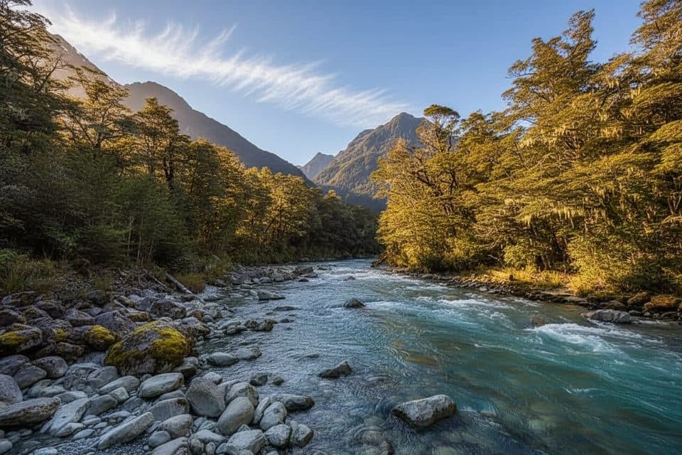 EasyRouteburn Nature Walk3.2 km · 54 min · 10.7 km awayEasy 3.2 km loop through beech forest from Routeburn Shelter
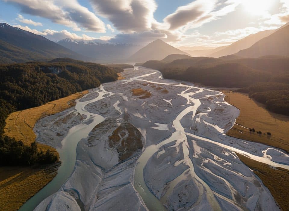 ChallengingRees–Dart Track62.9 km · 1.1 days · 12.2 km awayA rugged 63 km Rees–Dart through-route for hut-based wilderness tramping
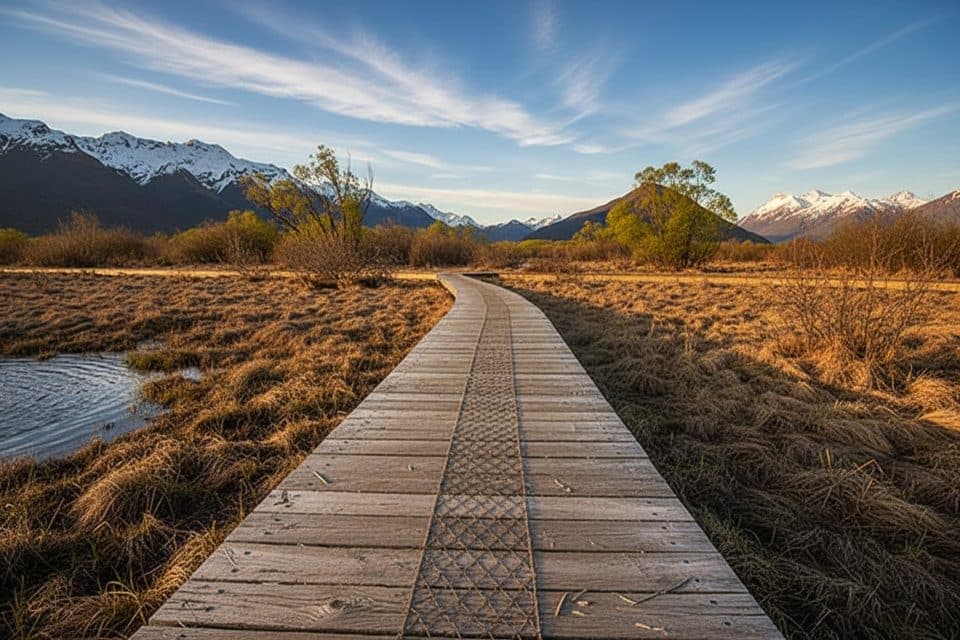 EasyGlenorchy Walkway5.5 km · 1.5 hr · 12.4 km awayFlat wetland loop with boardwalks, birdlife, and mirror-like mountain reflections.
 ModerateGreenstone–Caples Circuit61 km · 18.5 hr · 22.1 km awayQuieter four day loop over McKellar Saddle with hut to hut comfort
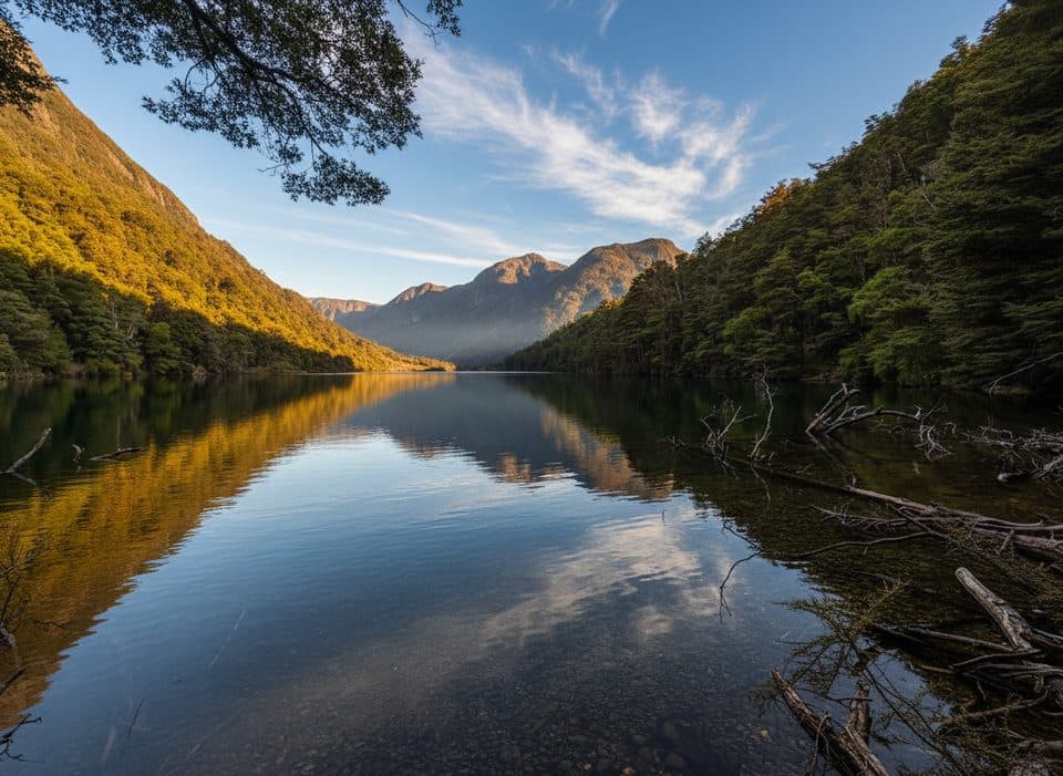 ModerateLake Rere Loop Track14.3 km · 5.5 hr · 22.1 km awayVaried loop to a quiet lake via farms, beech and river gorges
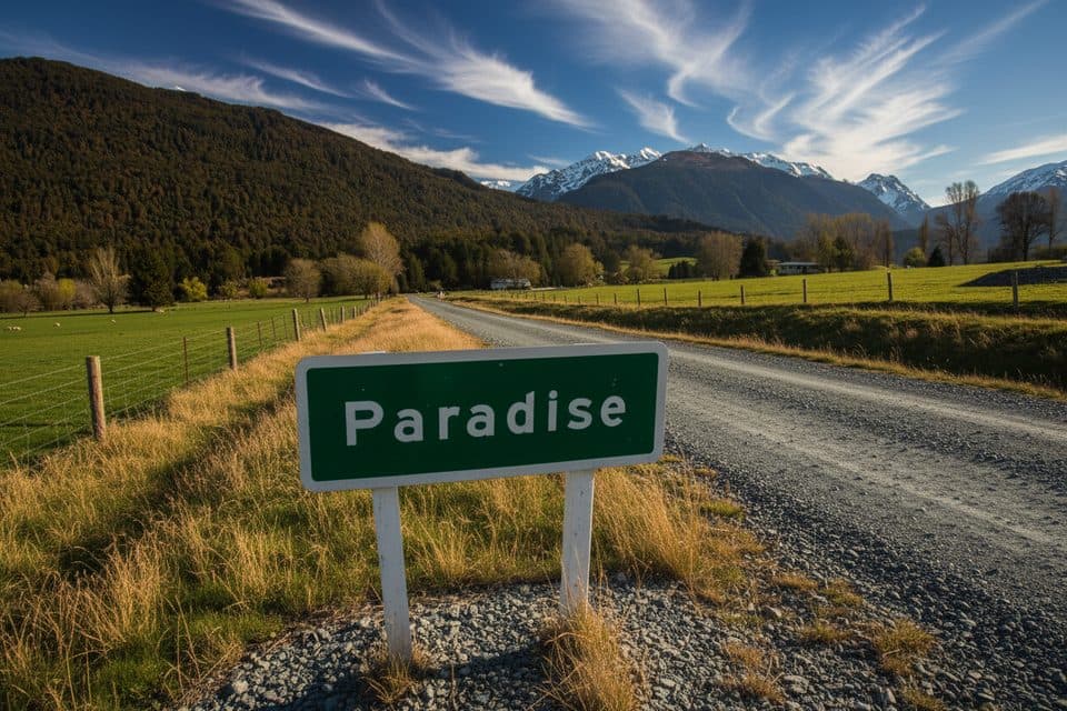 Scenic pullout · 3.7 km awayParadise SignIconic roadside Paradise photo stop beyond Glenorchy
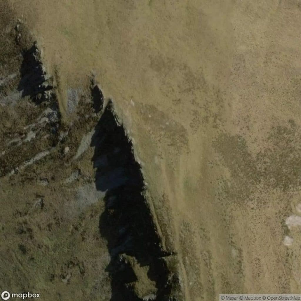 Sight · 4.3 km awayMount AlfredGuided-only summit hike with huge views over Glenorchy’s rivers
 Sight · 11.7 km awayGlenorchy LagoonFlat boardwalk with mirror views and easy birdwatching
 Sight · 12.2 km awayGlenorchyGateway hamlet to big-mountain hikes and wild fiordland scenery
 Campground · 12.5 km awayMrs Woolly’s CampgroundCentral Glenorchy campground with powered sites and a great kitchen
 Lodging · 12.5 km awayThe Headwaters Eco LodgeEco-luxe base with standout garden-to-table dining in Glenorchy
 Sight · 12.6 km awayGlenorchy Red ShedIconic lakeside shed with big-mountain backdrops and simple history displays
 Sight · 12.6 km awayGlenorchy WharfClassic wharf and red shed framed by big mountains
Parkwolf’s Queenstown-Lakes District ranking

The audio tour guide for the drive, plus offline maps, trails, and wildlife heatmaps for when the signal drops.



