Dolason Prairie Picnic Area in Redwood National Park

Picnic area · Redwood National Park

Dolason Prairie Picnic Area

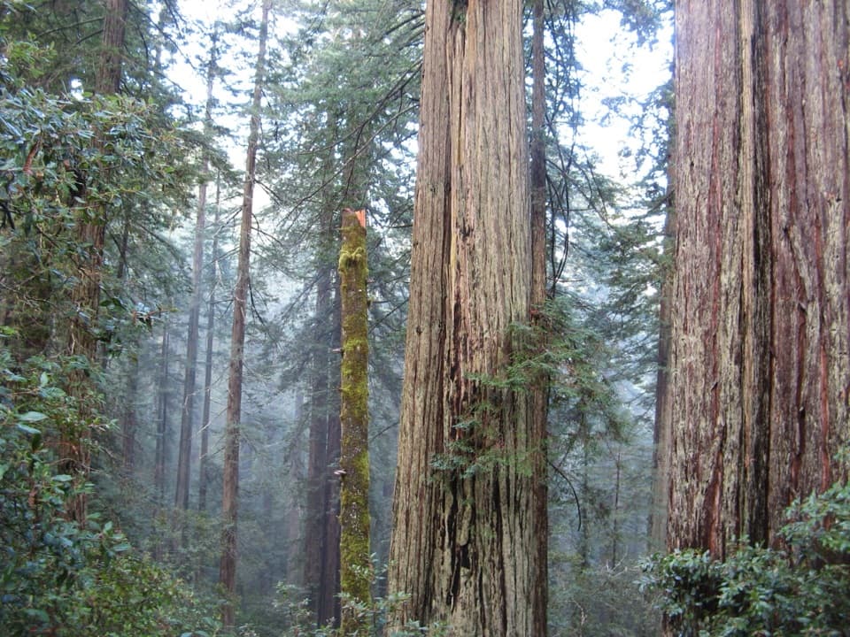
A shaded roadside table with a view into Redwood Creek country.

Photo: Wikimedia Commons
Type
Picnic area
Nearest trail
Right here
Audio stories
4 nearby
  • Parking
  • Picnic tables
  • Restrooms
  • Trailhead

Hear the audio tour

Dolason Prairie Picnic Area

Overview

About Dolason Prairie Picnic Area

Why stop

  • The open meadow gives the roadside stop a view across Redwood Creek.

Heads up

  • The marked trail is a long, strenuous hike.

Map

Where it is

Loading the Redwood map
Full map
Picnic areaDolason Prairie Picnic Area41.20526, -123.95082
Keep this map with you offline in the Parkwolf app

Plan your stop

Before you go

6 active Redwood alerts

  • ClosureBald Hills Road, Mill Creek and 44 Creek restrictionsMentions Bald Hills Road, referenced in this guideUse caution on damaged Bald Hills Road and plan around Mill Creek and 44 Creek access restrictions.Official details
  • ClosureJames Irvine, Miners Ridge and Dolason Prairie trail restrictionsMentions Dolason Prairie, referenced in this guideConstruction, downed trees and a bridge failure restrict three trails; plan alternate routes and obey closures.Official details

See all 6 alerts
A park ranger sits on a dash-mounted phone, talking, as Parkwolf’s Tour Guide plays “Army Cutworm Moths: A Grizzly Bear Buffet” on Grand Loop Road below Dunraven Pass in Yellowstone
Parkwolf Tour GuideThe highest, rockiest slopes around here are a summer buffet for grizzly bears.

Redwood Tour Guide

Your drive to Dolason Prairie Picnic Area, narrated.

Parkwolf is a GPS audio tour guide for Redwood National Park. As you drive, it chimes in with what’s ahead: hidden gems, upcoming stops, history, geology, and wildlife, right through your car’s speakers.

See the Redwood audio tour

Recorded for this place

Dolason Prairie Picnic Area
0:00 / 0:28
“Dolason Prairie Picnic Area is coming up, a simple roadside break beside a hilltop meadow overlooking Redwood Creek country.”

Plays as you drive up to Dolason Prairie Picnic Area in the Parkwolf Redwood Tour Guide.

More stories near here in the app

  • A Giant from a Tiny Cone
  • The Woodpeckers' Acorn Store
  • How Redwoods Catch Fog
  • Why the Bald Hills Stay Open
  • 85 audio storiesacross Redwood’s roads, triggered by GPS as you drive
  • Wildlife heatmapsfor Black Bear, Elk, California Condor, and 13 more
  • Works offlinemaps, 83 trails, 48 places, and audio download before you lose signal
  • CarPlay readysimple controls built for the drive
★★★★★
“Fantastic app with many points of information… It’s great to just turn on while you’re driving and it gives you an audio tour of the national Park. We love it!!!!”
JMJamesApp Store review
Download Parkwolf on the App StoreGet Parkwolf on Google Play

4.7 from 8,600+ ratings

Guide

More about Dolason Prairie Picnic Area

A quick stop above Redwood CreekThis is a roadside picnic stop and the marked start of the Dolason Prairie Trail on Bald Hills…

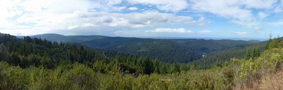
This is a roadside picnic stop and the marked start of the Dolason Prairie Trail on Bald Hills Road. The parking area sits beside a grassy hilltop meadow looking across Redwood Creek. There is a picnic table, an information kiosk and a vault toilet, so it works well as a simple break on the drive.

The trail is a bigger undertakingThe trail drops from high prairie toward Redwood Creek. It is 5.

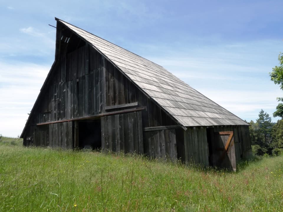
The trail drops from high prairie toward Redwood Creek. It is 5.9 miles one way and strenuous, with steep grades and switchbacks, so it is a serious hike rather than a short wander from the tables. Farther along, the route passes a 19th-century barn left from a sheep ranch that operated in the area for nearly a century. Check current trail conditions before setting out beyond the picnic area.

Why the hills look patchyAcross Redwood Creek, many hillsides were clearcut in the 1960s and 1970s.

Across Redwood Creek, many hillsides were clearcut in the 1960s and 1970s. The park expanded in 1978 to protect most of the watershed, including much of that logged land. The remaining old-growth groves show up as dark green patches among lighter second-growth forest.

Wildlife

Wildlife in Redwood

All Redwood wildlife maps

Sighting maps show where each species has been reported across Redwood. Wildlife moves, so no sighting is guaranteed.

Parkwolf’s Redwood ranking

Top sights in Redwood

All 48 places
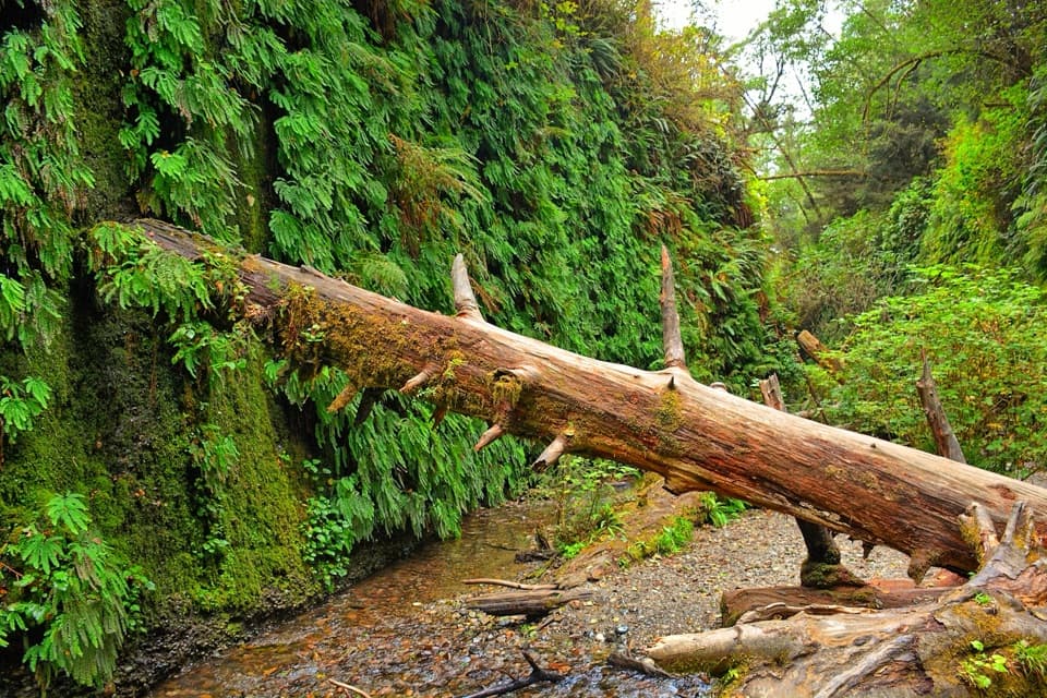
  1. 1Fern CanyonSight
  2. 2Stout Memorial GroveSight
  3. 3Big Tree WaysideSight
  4. 4Lady Bird Johnson GroveSight
  5. 5Grove of TitansSight
  6. 6Tall Trees GroveSight

Take Parkwolf to Redwood.

The audio tour guide for the drive, plus offline maps, trails, and wildlife heatmaps for when the signal drops.

4.7 from 8,600+ ratings

Download Parkwolf on the App StoreGet Parkwolf on Google Play