Parking
Tall Trees Grove Trailhead Parking, reached by Tall Trees Access Road from Bald Hills Road. A free advance reservation is required. The lot is small; RVs and trailers are not allowed.

Redwood National Park, CA
A steep old-growth loop with a rough, low-water creek crossing.
Overview
Map & elevation
Plan your hike

The highest, rockiest slopes around here are a summer buffet for grizzly bears.
Redwood Tour Guide
Parkwolf is a GPS audio tour guide for Redwood National Park. As you drive, it chimes in with what’s ahead: hidden gems, upcoming stops, history, geology, and wildlife, right through your car’s speakers.
See the Redwood audio tourRecorded for this trailhead
Tall Trees Grove“You're approaching the access road for Tall Trees Grove, a half-day outing with a long drive and a steep hike. You'll need an online reservation for the locked gate.”
Plays as you drive up to this trailhead in the Parkwolf Redwood Tour Guide.
More stories near here in the app
“Fantastic app with many points of information… It’s great to just turn on while you’re driving and it gives you an audio tour of the national Park. We love it!!!!”


Trail guide
This is a 4.3-mile loop from Tall Trees Grove Trailhead Parking: descend Emerald Ridge, follow about 1.5 miles of Redwood Creek's gravel bed, then climb back out on Tall Trees Trail. Plan about four hours on the trail; the creekbed and return climb slow this down. The 2.8-mile figure listed for Emerald Ridge fits the outward ridge-and-creek leg, while the full trip includes the Tall Trees return.
This route only works at low water, generally in summer. The creek section has no dependable single tread: gravel bars and crossing points can shift after storms. Rocks are smooth and loose, and the water can range from a few shallow steps to deep pools that require much deeper wading. Check current park conditions before setting out. If the creek is fast or high, take the Tall Trees Trail out and back instead.
A free advance reservation is required to use the Tall Trees access road. The parking area is small and does not take RVs or trailers. Dogs are not allowed on park trails.
From the parking access, turn onto Emerald Ridge. The trail drops about 580 feet through forest, with loose dirt and gravel on the steeper grade. The route passes a patch that narrowly escaped logging in the late 1960s.
At the creek, turn downstream and cross along the broad gravel bars toward Tall Trees Grove. The smooth, fist-sized stones make walking tiring even where the water is shallow; expect several fords. Tall Trees Grove sits beside the creek, with huge redwoods on one part of its separate loop and streamside maples on the other. The mapped 4.3-mile route reaches the grove connection and returns on Tall Trees Trail; adding the grove circuit makes the walk longer.
The wide gravel channel is part of Redwood Creek's logging history. Logging and road building in the early 1950s caused erosion and landslides in the watershed. A 1964 storm sent about 20 feet of sediment into the creek channel near its headwaters, and the valley is still recovering. The route gives you a close look at both the old-growth forest and the stream that shaped its lowland.
Wildlife
 256 sightingsBlack BearMost seen around 7 PMSighting map
 2,389 sightingsElkMost seen around 6 PMSighting map
 62 sightingsCalifornia CondorMost seen around 1 PMSighting map
 60 sightingsCalifornia Sea LionMost seen around 11 AMSighting map
 216 sightingsHarbor SealMost seen around 10 AMSighting map
 13 sightingsMountain LionMost seen around 7 PMSighting map
Sighting maps show where each species has been reported across Redwood. Wildlife moves, so no sighting is guaranteed.
Keep exploring
ChallengingTall Trees Trail3.7 mi · 4 hr · At the trailheadTall redwoods reward the steep descent and the long climb back. ChallengingDolason Prairie Trail9 mi · 6 hr · 2.2 mi awayPrairie views and a historic barn lead down to a redwood grove.
 ModerateRidge Loop7 mi · 4 hr · 6.4 mi awayA forested seven-mile loop with a few old-growth redwood groves.
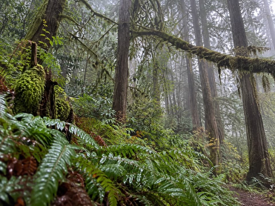 ChallengingMcArthur Creek Loop14 mi · 8 hr · 6.4 mi awayCreek crossings and ferny redwoods make this a full-day loop.
 ChallengingRedwood Creek Trail16 mi · 7.5 hr · 6.6 mi awayA long creek valley hike to Tall Trees Grove’s towering redwoods.
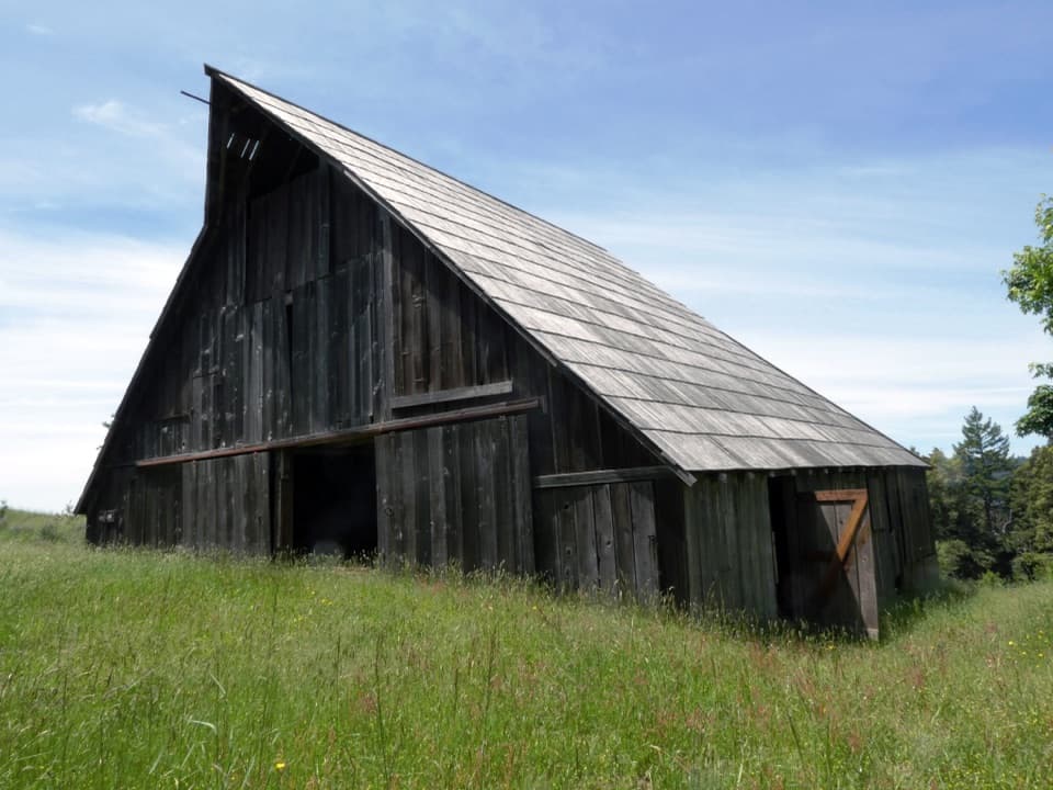 ModerateLyons Ranch Trail4 mi · 2.5 hr · 6.6 mi awayOpen prairie, oak groves and a historic barn at the far end.
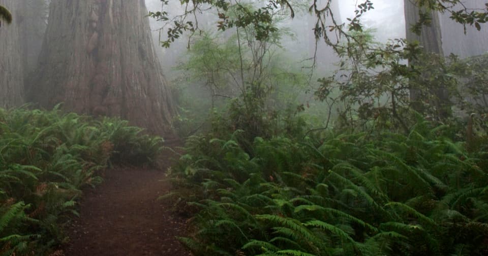 EasyLady Bird Johnson Grove Trail1.5 mi · 1 hr · 6.7 mi awaySee redwoods and a historic clearing on an easy 1.5 mile loop.
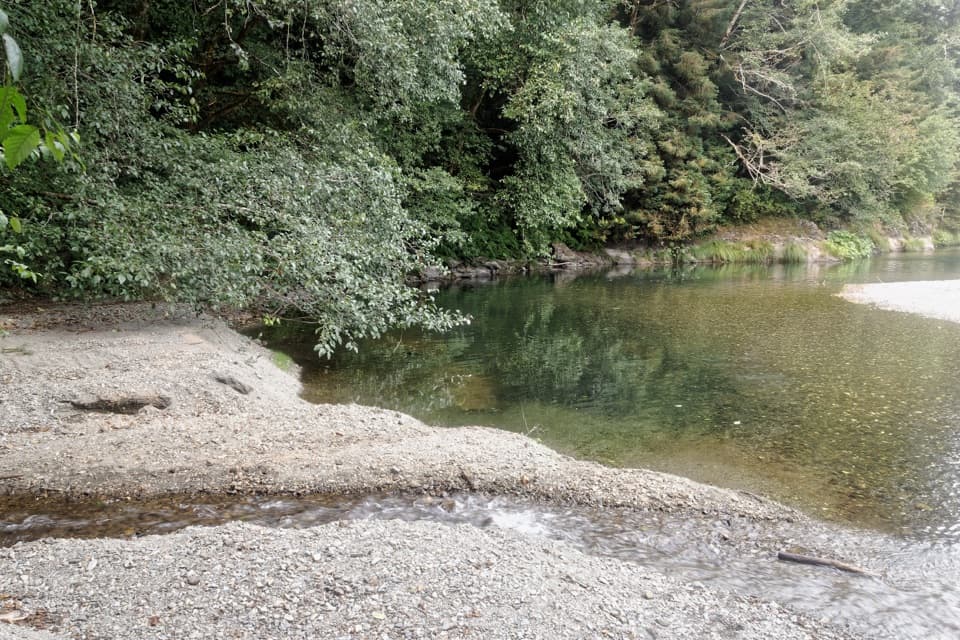 ChallengingElam Creek Loop20 mi · 10.5 hr · 6.8 mi awayA long ridge walk to Elam Camp and its streamside forest.Sight · 1.1 mi awayTall Trees GroveA quiet creekside grove worth the long, steep hike.
 Campground · 1.2 mi away44 CampFour walk-in sites near the Tall Trees redwoods.
 Picnic area · 2.2 mi awayDolason Prairie Picnic AreaA shaded roadside table with a view into Redwood Creek country.
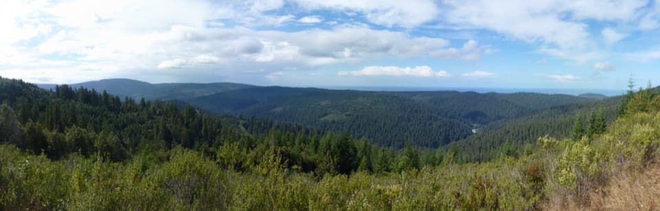 Sight · 3.5 mi awayRedwood Creek OverlookOld-growth and younger forest meet in a valley-to-ocean view.
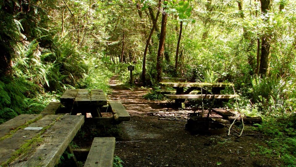 Campground · 4.2 mi awayElam Backcountry CampA small trail-side camp; creek levels shape the approach.Sight · 6.5 mi awayLyons Ranch Home PlaceRedwood barn and orchard, reached by a four-mile prairie walk.
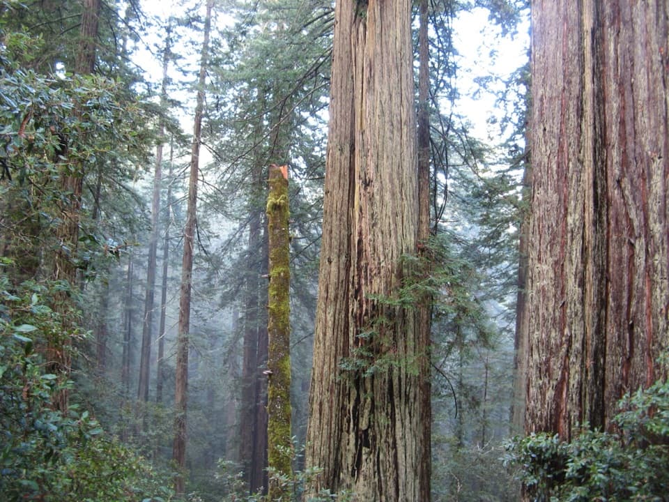 Sight · 6.7 mi awayLady Bird Johnson GroveAn easy loop through old-growth redwoods with a conservation story.
 Sight · 7.1 mi awayFreshwater LagoonA calm-water lagoon for kayaking, swimming, and fishing.
Parkwolf’s Redwood ranking

The audio tour guide for the drive, plus offline maps, trails, and wildlife heatmaps for when the signal drops.




