Tall Trees Trail in Redwood National Park

#6 of 83 trails in Redwood

Redwood National Park, CA

Tall Trees Trail

Tall redwoods reward the steep descent and the long climb back.

Photo: Public Domain
Length
3.7mi
Time
4hr
Elev. change
804ft
Difficulty
Challenging
  • Loop
  • No dogs
  • High point 906 ft

Hear the audio tour

Tall Trees Grove

Overview

About Tall Trees Trail

Why go

  • A quiet grove loop among huge redwoods, with the Libbey Tree marker as a piece of park history.

Heads up

  • The return is a sustained climb after the steep descent; gated access also takes advance planning.
Tall Trees Trail is a steep out-and-back to a loop among the giant redwoods of Tall Trees Grove. The route drops about 800 feet in its first 1.5 miles, circles the grove, then climbs back to the same trailhead. The mapped round trip is about 3.7 miles; some park visitor materials list 4.5 miles without explaining the difference. The measured footpath supports 3.7, but treat either figure as a half-day commitment: the return climb is the part to plan around. If you want a quiet old-growth grove and don't mind a sustained uphill finish, the effort has a clear payoff. Allow roughly 3 to 6 hours to hike and explore, plus the drive in.
Parkwolf’s verdictIs the climb worth it?

Map & elevation

The route

Loading the Redwood map
Full map
Elevation102–906 ft
TrailheadTall Trees Trailhead parking lot41.20804, -123.99304
Keep this map with you offline in the Parkwolf app

Plan your hike

Before you go

Parking

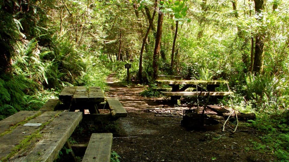
Tall Trees Trailhead parking lot, reached from Bald Hills Road by a narrow, winding gravel access road. A free online reservation is required for the gate; keep the emailed code. The small lot has two vault toilets and a shelter, but no drinking water. RVs over 21 feet and vehicles towing trailers cannot park here.

Safety

The trail drops about 800 feet over the first 1.5 miles, then climbs the same steep grade back to the lot. Carry your own water and food; no potable water is available at the trailhead. Pets are prohibited.

6 active Redwood alerts

  • ClosureBald Hills Road, Mill Creek and 44 Creek restrictionsMentions Bald Hills Road, referenced in this guideUse caution on damaged Bald Hills Road and plan around Mill Creek and 44 Creek access restrictions.Official details
  • ClosureJames Irvine, Miners Ridge and Dolason Prairie trail restrictionsMentions this trailConstruction, downed trees and a bridge failure restrict three trails; plan alternate routes and obey closures.Official details
See all 6 alerts
A park ranger sits on a dash-mounted phone, talking, as Parkwolf’s Tour Guide plays “Army Cutworm Moths: A Grizzly Bear Buffet” on Grand Loop Road below Dunraven Pass in Yellowstone
Parkwolf Tour GuideThe highest, rockiest slopes around here are a summer buffet for grizzly bears.

Redwood Tour Guide

Your drive to Tall Trees Trail, narrated.

Parkwolf is a GPS audio tour guide for Redwood National Park. As you drive, it chimes in with what’s ahead: hidden gems, upcoming stops, history, geology, and wildlife, right through your car’s speakers.

See the Redwood audio tour

Recorded for this trailhead

Tall Trees Grove
0:00 / 0:25
“You're approaching the access road for Tall Trees Grove, a half-day outing with a long drive and a steep hike. You'll need an online reservation for the locked gate.”

Plays as you drive up to this trailhead in the Parkwolf Redwood Tour Guide.

More stories near here in the app

  • How Redwoods Catch Fog
  • A Giant from a Tiny Cone
  • Dolason Prairie Picnic Area
  • Soil in the Treetops
  • 85 audio storiesacross Redwood’s roads, triggered by GPS as you drive
  • Wildlife heatmapsfor Black Bear, Elk, California Condor, and 13 more
  • Works offlinemaps, 83 trails, 48 places, and audio download before you lose signal
  • CarPlay readysimple controls built for the drive
★★★★★
“Fantastic app with many points of information… It’s great to just turn on while you’re driving and it gives you an audio tour of the national Park. We love it!!!!”
JMJamesApp Store review
Download Parkwolf on the App StoreGet Parkwolf on Google Play

4.7 from 8,600+ ratings

Trail guide

Hiking Tall Trees Trail

Sort out access firstA free online reservation is required year-round to pass the locked gate to Tall Trees…

A free online reservation is required year-round to pass the locked gate to Tall Trees Trailhead. Follow the current reservation instructions and keep the emailed gate code handy. The access road is narrow, winding and gravel, and park guidance warns that digital directions and data coverage can be unreliable. Allow about an hour to drive from the nearest visitor center. The small lot has two vault toilets, a shelter and information panels, but no drinking water or food service. RVs over 21 feet and vehicles towing trailers cannot park there. Pets are not allowed on this trail.

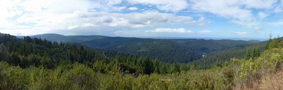
Follow the descentThe trail drops steadily through forest toward Redwood Creek's floodplain.

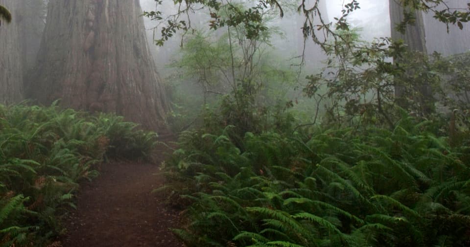
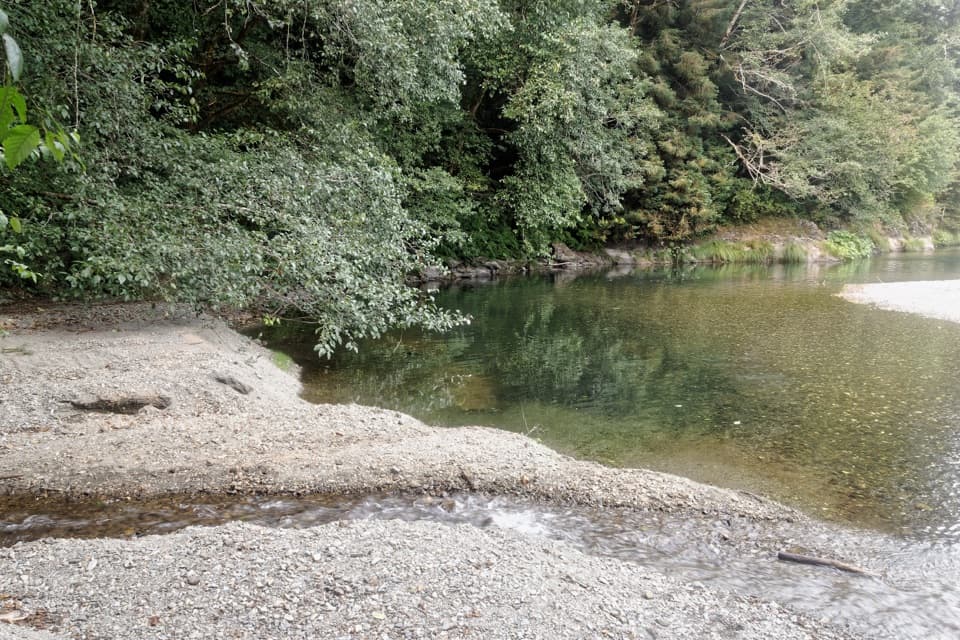
The trail drops steadily through forest toward Redwood Creek's floodplain. That 800-foot descent in about 1.5 miles feels like a bargain on the way down; remember that you will have to regain it on foot. At the bottom, follow the short loop through the grove. The standard route does not require a creek crossing. A junction at the grove's north end leads onto the separate Redwood Creek Trail, so stay on the grove loop if you mean to do this hike and return to the permit trailhead.

Take your time in the groveThe loop winds among widely spaced giant redwoods, then briefly leaves them for big-leaf maples…

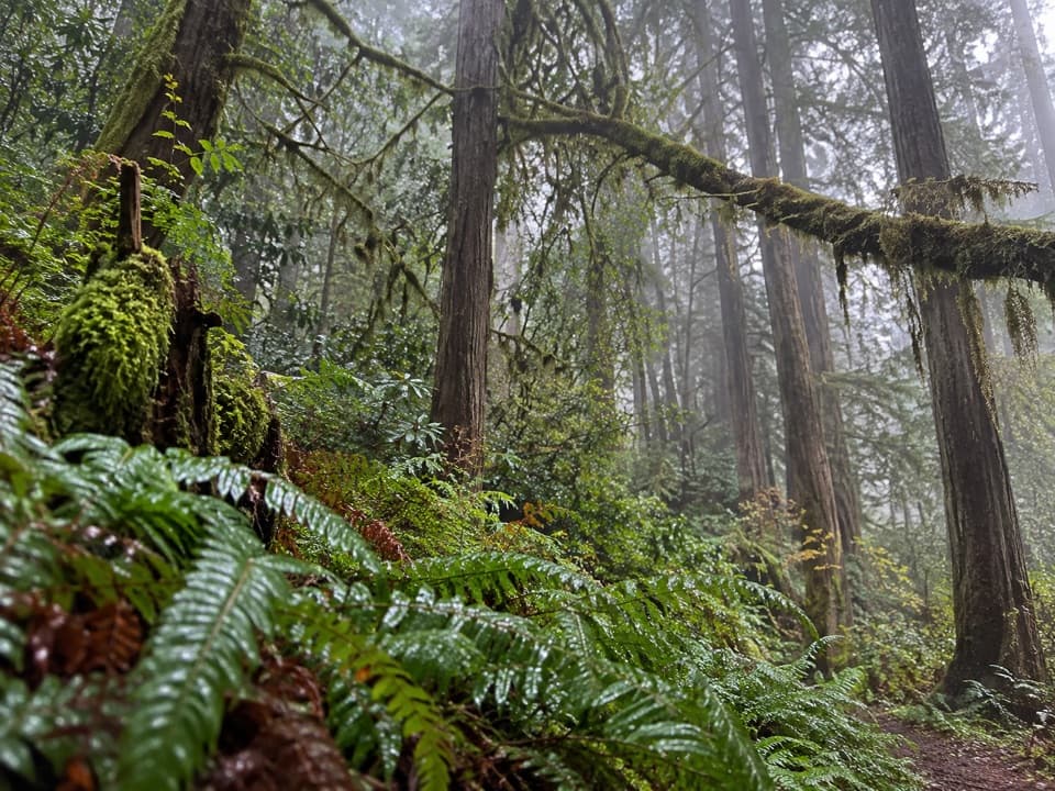
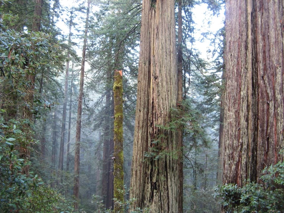
The loop winds among widely spaced giant redwoods, then briefly leaves them for big-leaf maples by the creek before returning beneath the redwoods. Moss and ferns cling to the maples, and an opening in the canopy lets more light into this sheltered valley. This is the place to slow down after the descent. For a photo that shows the trees' scale, include several trunks from their bases up into the canopy instead of filling the frame with one trunk.

The tree that made the park famousA 1963 survey measured the Libbey Tree at 368 feet, then the tallest tree known.

A 1963 survey measured the Libbey Tree at 368 feet, then the tallest tree known. The discovery and the attention it drew helped lead to the creation of Redwood National Park. Its crown later died back, and it no longer holds the record. The small marker is easy to miss, and the tree itself is hard to pick out from the ground among its neighbors. Hyperion is also in this region but strictly off-limits; this trail does not go to it.

Redwood Creek's recovering valleyThe grove grows on the creek's moist, fertile floodplain, protected from strong winter winds.

The grove grows on the creek's moist, fertile floodplain, protected from strong winter winds. Big-leaf maples and redwoods thrive in those conditions. This landscape was heavily affected by logging, road building and erosion beginning in the 1950s; a major 1964 storm left as much as 20 feet of sediment near the watershed's headwaters. The tall trees are part of a valley that is still recovering, not an untouched forest.

Save energy for the climb outThe walk back is the same long, steep trail, climbing about 800 feet to the lot after the grove…

The walk back is the same long, steep trail, climbing about 800 feet to the lot after the grove loop. Carry enough water and food for the whole outing; there is no potable water at the trailhead, and the remote access means a short stop can become a long day. Sturdy footwear and rain gear are sensible for a dirt trail in a wet coastal forest. If a sustained uphill finish is not your kind of hike, choose a grove walk with easier access instead.

Wildlife

Wildlife in Redwood

All Redwood wildlife maps

Sighting maps show where each species has been reported across Redwood. Wildlife moves, so no sighting is guaranteed.

Keep exploring

Near Tall Trees Trail

See it all on the map

Trails that start nearby

Places near the trailhead

Parkwolf’s Redwood ranking

Top-rated trails in Redwood

All 83 trails
  1. 1Fern Canyon Loop TrailModerate · 1 mi
  2. 2Miners Ridge and James Irvine LoopChallenging · 12 mi
  3. 3Boy Scout Tree TrailModerate · 5.6 mi
  4. 4Stout Memorial Grove TrailEasy · 0.6 mi
  5. 5Grove of Titans TrailEasy · 1.8 mi
  6. 7Lady Bird Johnson Grove TrailEasy · 1.5 mi

Take Parkwolf to Redwood.

The audio tour guide for the drive, plus offline maps, trails, and wildlife heatmaps for when the signal drops.

4.7 from 8,600+ ratings

Download Parkwolf on the App StoreGet Parkwolf on Google Play