Parking
Drive the unpaved Walker Road to its only intersection and take the narrower left branch to the northern trailhead. The semicircular pullout fits about five or six cars; parking is limited, and RVs or vehicles with trailers are not advised.

Redwood National Park, CA
Two quiet loops weave through old-growth redwoods and a marshy flat.
Overview
Map & elevation
Plan your hike

The highest, rockiest slopes around here are a summer buffet for grizzly bears.
Redwood Tour Guide
Parkwolf is a GPS audio tour guide for Redwood National Park. As you drive, it chimes in with what’s ahead: hidden gems, upcoming stops, history, geology, and wildlife, right through your car’s speakers.
See the Redwood audio tourRecorded for this trailhead
Leiffer Loop's Redwoods and Old Road“You're nearing the Leiffer Loop trailhead, where a forest walk passes giant redwoods hollowed by old fires.”
Plays as you drive up to this trailhead in the Parkwolf Redwood Tour Guide.
More stories near here in the app
“Fantastic app with many points of information… It’s great to just turn on while you’re driving and it gives you an audio tour of the national Park. We love it!!!!”


Trail guide
Leiffer-Ellsworth is a clockwise loop of two connected trails, about 1.9 miles from the northern Walker Road trailhead. It crosses lowland redwoods and a marshy flat, climbs the Ellsworth hillside for a view over the redwoods, then circles back on Leiffer. Allow about 1.5 hours. The grades are uneven but not steep; expect two sustained climbs and several junctions. Published totals for the paired walk range from about 1.9 to 2.6 miles, and the extra distance is not explained. Confirm the route at the trailhead.
From the northern pullout, follow the access path through the redwood flat and go straight at the first junction. Near the marsh, turn right at the next junction, then left onto the Ellsworth loop. Its hillside climb and descent open views down to the lowland trees; a log bench sits beside a large redwood near the bottom. Continue on Leiffer for a longer climb along an old roadbed, then descend through marshy lowlands and return along the access path. The upper hillside is less distinctive than the redwood flat.
The route moves between large redwoods, maples and tanoak, with hazel and vine maple in the canyon. In spring, look for clintonia, western trillium, western burning bush, thimbleberry and red huckleberry. The trail also follows a portion of the 19th-century Crescent City Plank Road, once used as a wagon route inland from the coast.
The northern trailhead is reached on unpaved Walker Road. At its only intersection, take the narrower branch to the left; a small semicircular pullout fits about five or six cars. Parking is limited, and RVs or vehicles with trailers are not advised. Pets are prohibited on park trails; service animals are excepted.
Wildlife
 256 sightingsBlack BearMost seen around 7 PMSighting map
 2,389 sightingsElkMost seen around 6 PMSighting map
 62 sightingsCalifornia CondorMost seen around 1 PMSighting map
 60 sightingsCalifornia Sea LionMost seen around 11 AMSighting map
 216 sightingsHarbor SealMost seen around 10 AMSighting map
 13 sightingsMountain LionMost seen around 7 PMSighting map
Sighting maps show where each species has been reported across Redwood. Wildlife moves, so no sighting is guaranteed.
Keep exploring
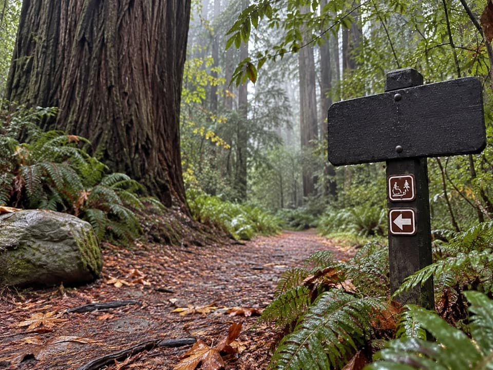 EasyLeiffer Loop Trail1.5 mi · 1 hr · At the trailheadQuiet forest, fire-scarred giants and a climb above the redwood flat.
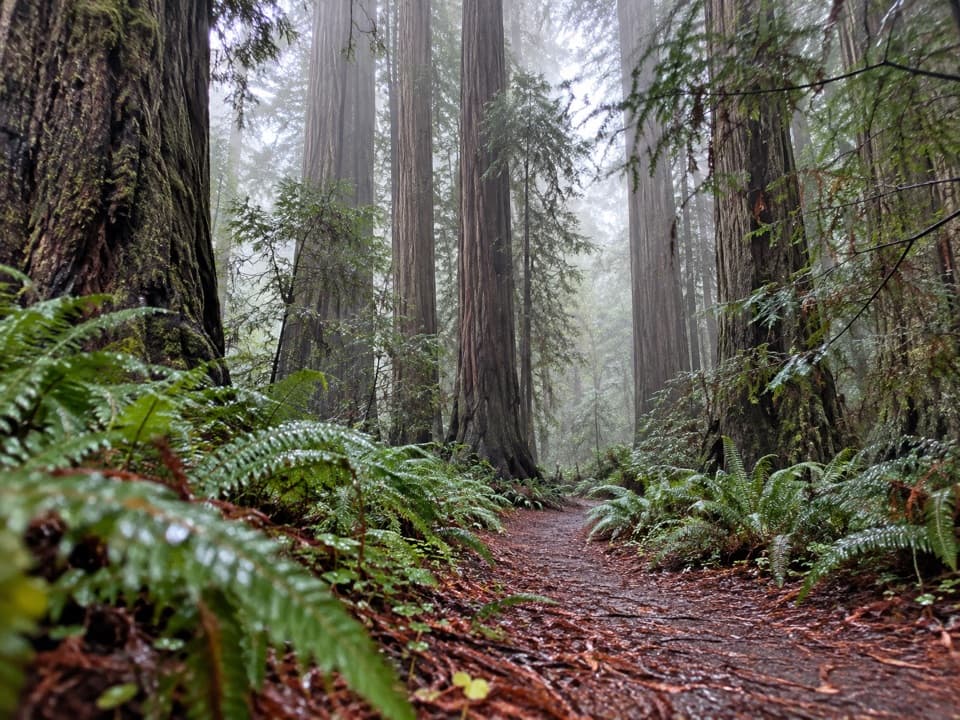 EasyMetcalf-Huntington Grove Trail0.8 mi · 30 min · 0.9 mi awayA short, unmarked redwood walk ends at two memorial benches.
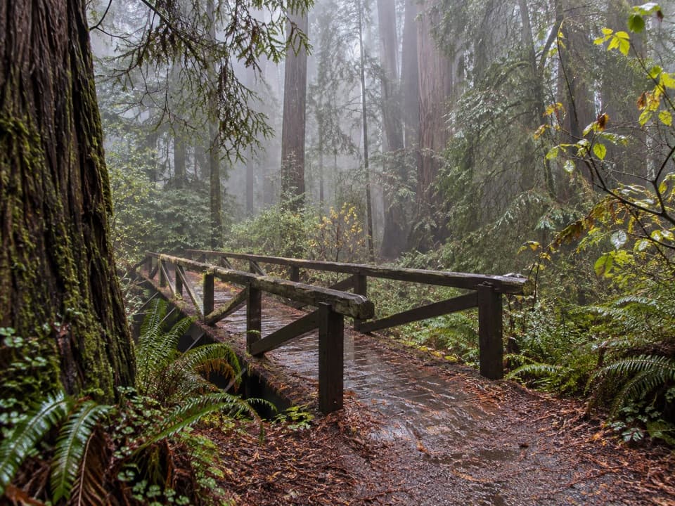 EasyPeterson Memorial Trail0.4 mi · 15 min · 0.9 mi awayA short redwood loop crosses a timber footbridge among ferns.
 EasySimpson-Reed Trail0.8 mi · 45 min · 1 mi awayFallen giants shape stream pools beneath the old-growth redwoods.
 EasyHatton Loop Trail0.3 mi · 20 min · 1.1 mi awayA tiny loop trades a short climb for a lush redwood hollow.
 ModerateLohse Grove Trail3.6 mi · 2.5 hr · 1.1 mi awayAn airy redwood grove rewards a noisy, rooty hillside climb.
 ModerateHatton-Hiouchi Trail1.2 mi · 45 min · 1.4 mi awayA redwood ridge climb linking Hatton access to the Hiouchi Trail.
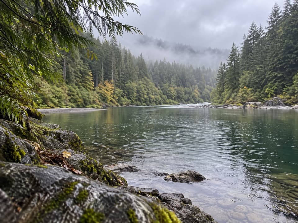 ModerateHiouchi Trail2 mi · 1.5 hr · 2.1 mi awayWalk the Smith River terrace through redwoods and two ravines.
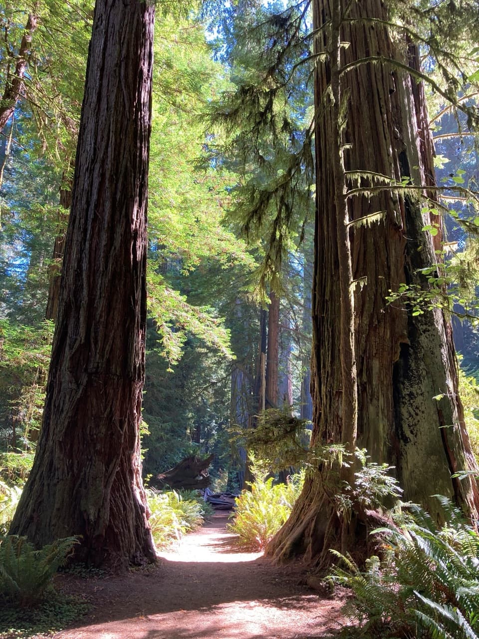 Sight · 1 mi awaySimpson-Reed GroveAn easy, flat walk through lush old-growth redwoods and ferns.
 Picnic area · 2.5 mi awayJedediah Smith Redwoods Day Use AreaA cobbled Smith River shore with a summer footbridge to Stout Grove.
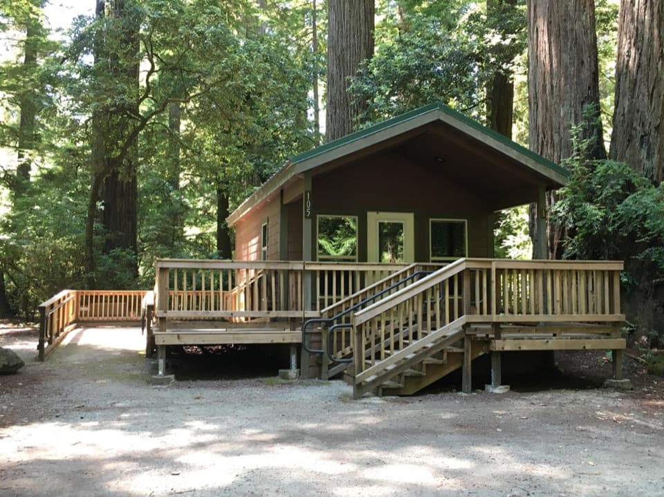 Campground · 2.5 mi awayJedediah Smith CampgroundStay among old-growth redwoods beside the Smith River.
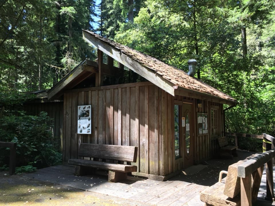 Visitor center · 2.5 mi awayJedediah Smith Visitor CenterFriendly staff help you pick a grove, trail, or quiet redwood road.
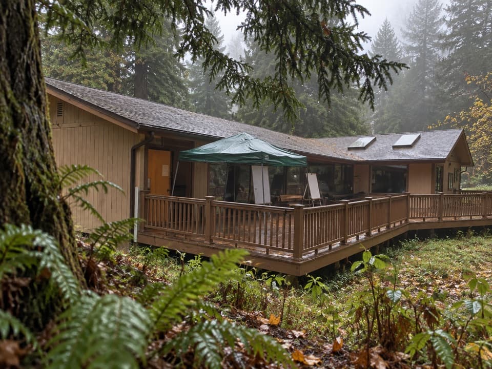 Visitor center · 2.6 mi awayHiouchi Visitor CenterPick up maps and ranger advice, then see Tolowa and redwood exhibits.
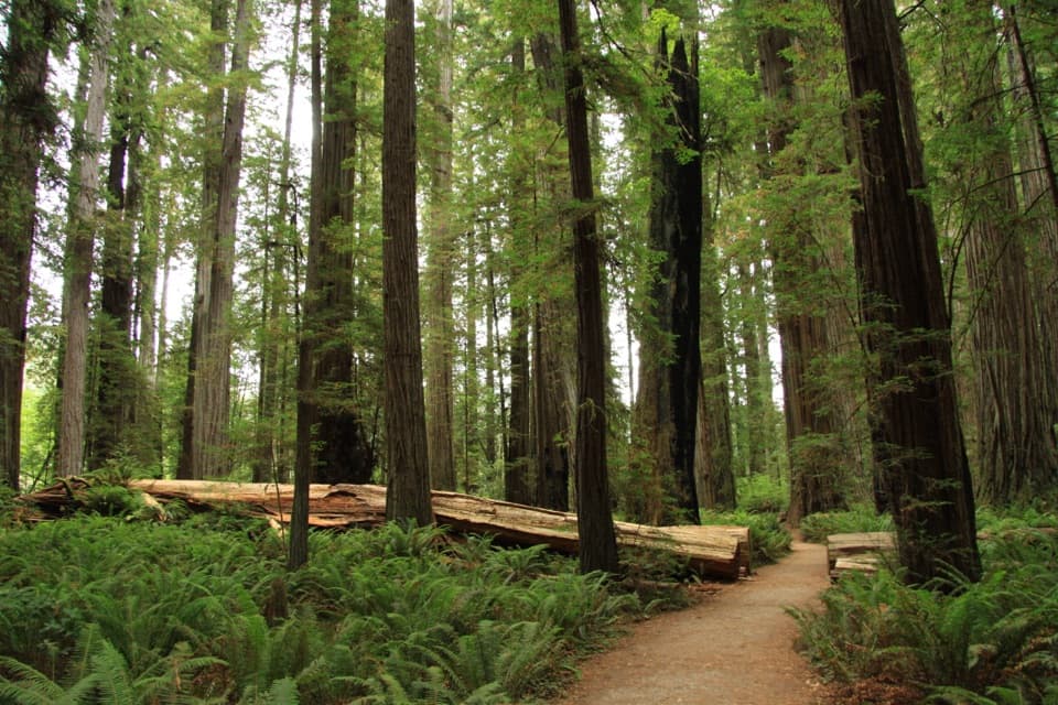 Sight · 3 mi awayStout Memorial GroveStand beneath redwoods that rise about 300 feet.
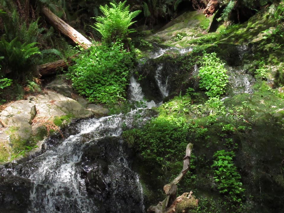 Sight · 3.1 mi awayFern FallsA small cascade caps a half-day walk through old-growth redwoods.
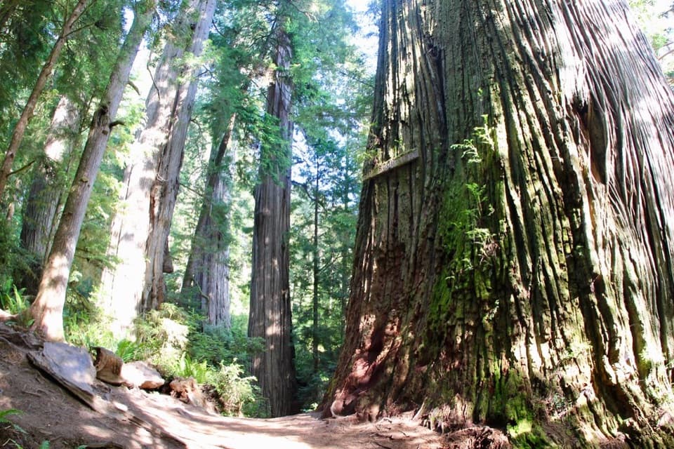 Sight · 3.1 mi awayBoy Scout TreeA double redwood landmark beyond 2.5 miles of forest trail.
Parkwolf’s Redwood ranking

The audio tour guide for the drive, plus offline maps, trails, and wildlife heatmaps for when the signal drops.





