Overview
About Keʻanae Park
Why stop
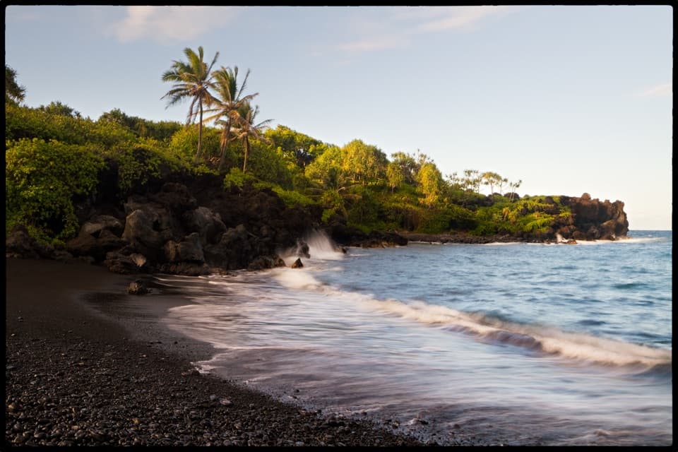
- Black lava and crashing surf make this a memorable coast stop.
Heads up
- The rough, exposed shoreline is unsuitable for swimming.
Map
Where it is

The highest, rockiest slopes around here are a summer buffet for grizzly bears.
Road to Hana Tour Guide
Your drive to Keʻanae Park, narrated.
Parkwolf is a GPS audio tour guide for Road to Hana. As you drive, it chimes in with what’s ahead: hidden gems, upcoming stops, history, geology, and wildlife, right through your car’s speakers.
See the Road to Hana audio tourRecorded for this place
Keʻanae’s Lava Shore and Banana Bread“You’re nearing Keʻanae Peninsula, where waves break against a jagged black lava shore.”
Plays as you drive up to Keʻanae Park in the Parkwolf Road to Hana Tour Guide.
More stories near here in the app
- Keʻanae Arboretum’s Rainbow Bark
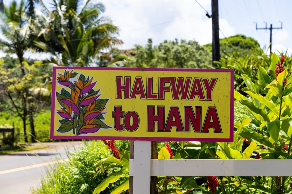
- Halfway to Hāna’s Roadside Snacks
- ʻAukuʻu’s Patient Hunt
- Understanding a Bowl of Poi
- 48 audio storiesacross Road to Hana’s roads, triggered by GPS as you drive
- Wildlife heatmapsfor Hawaiian Monk Seal, Green Sea Turtle, Frigatebird, and 13 more
- Works offlinemaps, 13 trails, 39 places, and audio download before you lose signal
- CarPlay readysimple controls built for the drive
“Fantastic app with many points of information… It’s great to just turn on while you’re driving and it gives you an audio tour of the national Park. We love it!!!!”


Guide
More about Keʻanae Park
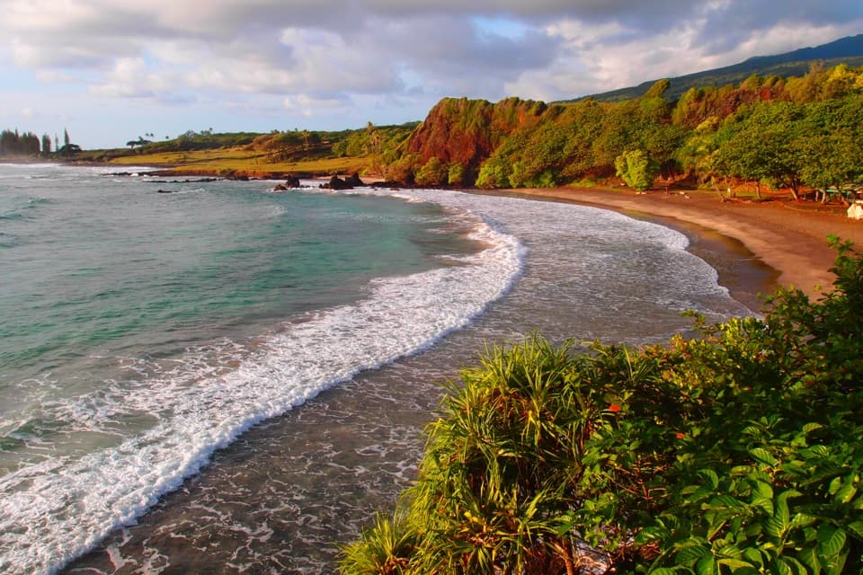
Take a short coast breakKeʻanae Park is a 4.1-acre public oceanfront park along Keʻanae Road, just off Hāna Highway.
Keʻanae Park is a 4.1-acre public oceanfront park along Keʻanae Road, just off Hāna Highway. The main draw is the raw lava shoreline and open Pacific; the softball field and comfort station are useful extras. It’s a worthwhile pause if you want to see the coast up close, but this is no swimming beach: the shore is rocky and exposed, and the County describes it as unsuitable for swimming.
Watch the surf from the park sideA Haleakalā lava flow reached the sea and cooled into the jagged dark shoreline here.
A Haleakalā lava flow reached the sea and cooled into the jagged dark shoreline here. Waves break hard against it, so stay back from the edge and don’t scramble across wet rock. The bright foam against black lava makes the best straightforward photo; take it from safe ground, not the slick boulders.
Plan the stopTurn onto Keʻanae Road near Mile Marker 16.
Turn onto Keʻanae Road near Mile Marker 16. Parking is an unmarked dirt area with additional shoulder parking along the entrance road; use the park spaces and leave local driveways clear. The public comfort station has water taps, though their potability isn’t specified. Parking and restrooms are listed as ADA-accessible; an accessible route down to the rough shoreline isn’t documented.
Look past the parkKeʻanae is a traditional taro-growing community.
Keʻanae is a traditional taro-growing community. Hawaiian growers carried soil onto the peninsula’s younger lava to create loʻi, and some fields are still worked by local families. These are private working lands: enjoy the patchwork from the public road or park rather than walking into the fields.
Add the wider view if you have timeA separate paved Keʻanae Lookout before the turnoff, around Mile Marker 17, gives the broad…
A separate paved Keʻanae Lookout before the turnoff, around Mile Marker 17, gives the broad view of the peninsula, including its taro fields and historic church. That’s a different stop from Keʻanae Park’s close-up surf and lava. Aunty Sandy’s banana bread is another separate stop on Keʻanae Road, not a park concession.
Wildlife
Wildlife in Road to Hana
 10 sightingsHawaiian Monk SealMost seen around 11 AMSighting map
 127 sightingsGreen Sea TurtleMost seen around 5 PMSighting map
 86 sightingsFrigatebirdMost seen around noonSighting map
 17 sightingsRed-footed BoobyMost seen around 6 AMSighting map
 73 sightingsNene (Hawaiian Goose)Most seen around 6 AMSighting map
 58 sightingsHawaiian StiltMost seen around 8 AMSighting map
Sighting maps show where each species has been reported across Road to Hana. Wildlife moves, so no sighting is guaranteed.