Parking
Use the paved Puaʻa Kaʻa State Wayside lot on the makai, or ocean, side of Hāna Highway. The falls path is across the highway from the restroom area; the lot can be busy during Road to Hāna stops.

Road to Hana, HI
A tiny waterfall loop makes a good Road to Hāna breather.
Overview
Map & elevation
Plan your hike

The highest, rockiest slopes around here are a summer buffet for grizzly bears.
Road to Hana Tour Guide
Parkwolf is a GPS audio tour guide for Road to Hana. As you drive, it chimes in with what’s ahead: hidden gems, upcoming stops, history, geology, and wildlife, right through your car’s speakers.
See the Road to Hana audio tourRecorded for this trailhead
Puaʻa Kaʻa’s Rainforest Break“Puaʻa Kaʻa State Wayside is coming up, a handy rainforest break with small waterfalls and picnic tables.”
Plays as you drive up to this trailhead in the Parkwolf Road to Hana Tour Guide.
More stories near here in the app
“Fantastic app with many points of information… It’s great to just turn on while you’re driving and it gives you an audio tour of the national Park. We love it!!!!”


Trail guide
Puaʻa Kaʻa Falls Trail is a 0.08-mile loop through the Puaʻa Kaʻa State Wayside to the lower cascades and pool. The short, mostly paved walk is a good Road to Hāna break when you want a stretch and a look at several small falls, not a longer hike. Allow about 10 to 15 minutes with time at the water.
Start from the wayside parking and restroom area. The compact route follows the established path to the lower falls, loops back on a connected path and retraces a short piece near the start. Keep this walk to the lower falls: the separate dirt route farther upstream is a different outing, with muddier footing and a viaduct crossing. At the falls, include the rock and pool beneath the cascade in your photo; the setting gives the small drop some scale.
The wayside has a restroom, picnic table and trash cans, but no drinking water. Swimming is prohibited. The state lists flash floods and submerged objects as hazards around the falls, so stay out of the pools even when other visitors do otherwise.
Wildlife
 10 sightingsHawaiian Monk SealMost seen around 11 AMSighting map
 127 sightingsGreen Sea TurtleMost seen around 5 PMSighting map
 86 sightingsFrigatebirdMost seen around noonSighting map
 17 sightingsRed-footed BoobyMost seen around 6 AMSighting map
 73 sightingsNene (Hawaiian Goose)Most seen around 6 AMSighting map
 58 sightingsHawaiian StiltMost seen around 8 AMSighting map
Sighting maps show where each species has been reported across Road to Hana. Wildlife moves, so no sighting is guaranteed.
Keep exploring
 EasyKeʻanae Arboretum Walk0.9 mi · 1 hr · 3.2 mi awaySee rainbow eucalyptus and old taro terraces on an easy walk.
 EasyGarden of Eden Loop0.8 mi · 30 min · 5 mi awayA short loop through palms and labeled tropical gardens.
 EasyWaikamoi Ridge Trail1.1 mi · 1 hr · 5.7 mi awayA shaded forest loop with bamboo just off the Hāna Highway.
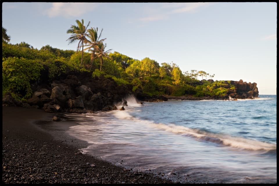 EasySea Caves and Black Sand Beach Trail0.7 mi · 30 min · 8.1 mi awayA short walk from black pebbles to a sea cave and blowhole.
 ModerateKe Ala Loa O Maui / Piʻilani Trail3 mi · 2.3 hr · 8.1 mi awayRough lava, a blowhole, and a boulder beach at the far end.
 ModerateWaiʻānapanapa Coast Trail North1.9 mi · 1.5 hr · 8.1 mi awayBlack lava, tucked coves, and a blowhole on a short coast walk.
 ModerateFagan’s Cross Trail1.5 mi · 1 hr · 9.9 mi awayA paved climb to Hāna’s hilltop cross and coastal views.
 ModerateTwin Falls Trail1.6 mi · 1.5 hr · 10.1 mi awayEasy lower falls; rocky stream crossings to Cave FallsScenic pullout · At the trailheadPuaʻa Kaʻa State WaysideA quick rainforest stop for small falls, pools and a picnic break.
 Sight · 1.1 mi awayHanawi FallsRainforest cascades flash by as Route 360 crosses Hanawi Stream.
 Sight · 1.4 mi awayUpper Waikani FallsThree cascades beside Hana Highway, best spotted as you pass.
 Scenic pullout · 1.9 mi awayWailua Valley State WaysideA two-sided overlook above Wailua’s taro fields.
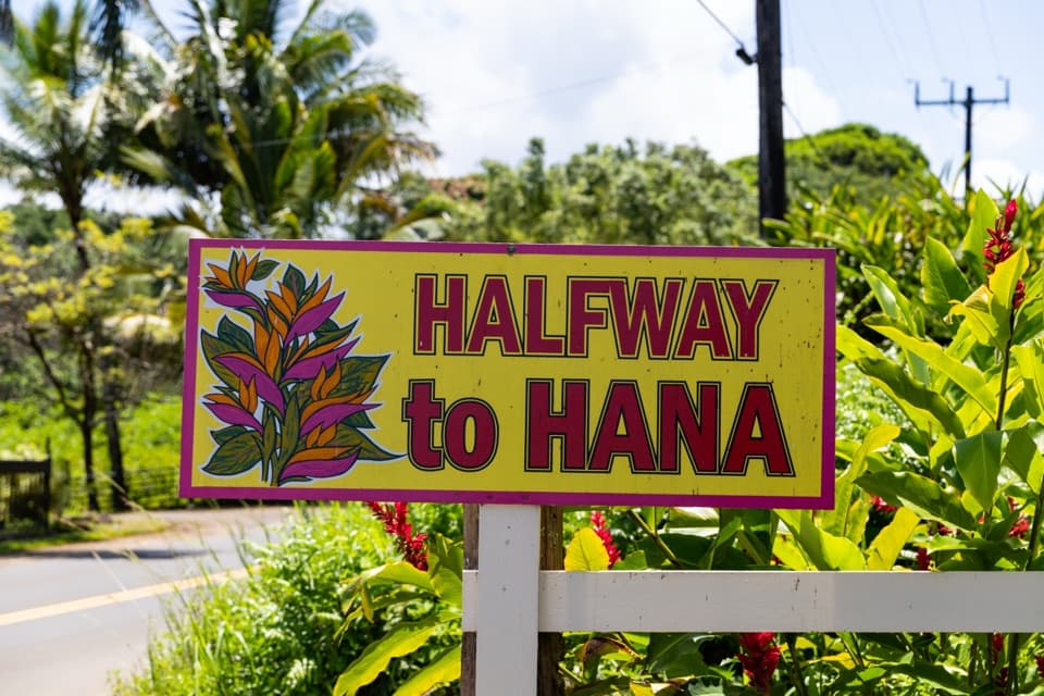 Food · 2.8 mi awayHalfway to HānaBanana bread and a quick break, right on the main road.Sight · 3.2 mi awayKeʻanae ArboretumRainbow eucalyptus make this short tropical walk a worthwhile leg-stretch.
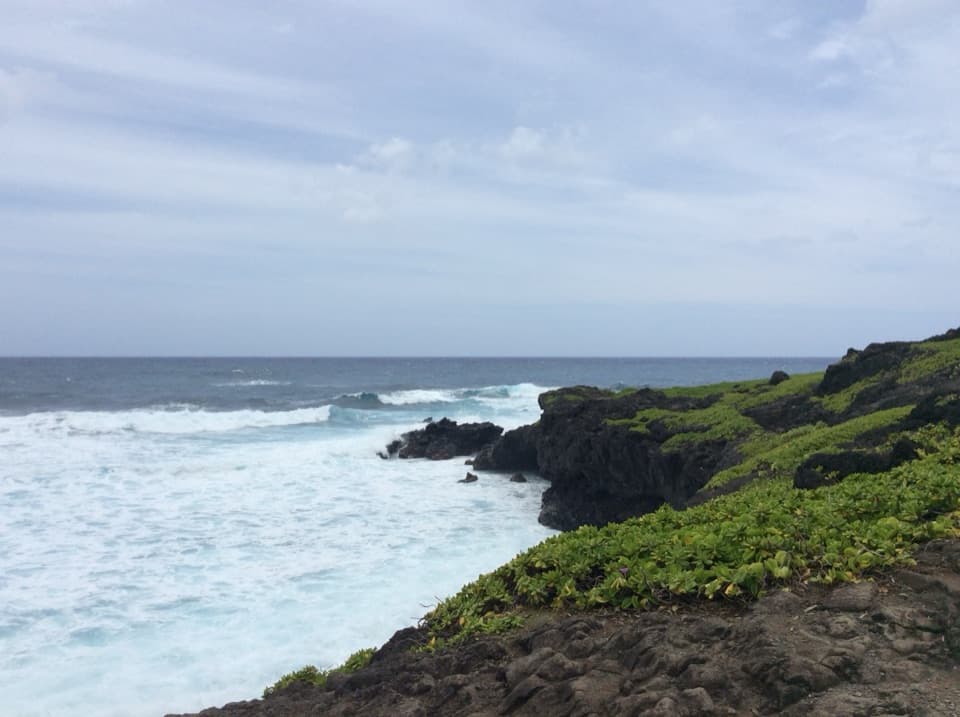
 Sight · 3.4 mi awayKeʻanae ParkA quick pause for Keʻanae’s black lava shore and crashing Pacific.
 Sight · 3.4 mi awayKeʻanae Congregational ChurchA stone church that survived the 1946 tsunami.
Parkwolf’s Road to Hana ranking

The audio tour guide for the drive, plus offline maps, trails, and wildlife heatmaps for when the signal drops.