Parking
Take Waiʻānapanapa Road from Hāna Highway (Hwy 360) to Waiʻānapanapa State Park. Use the visitor parking area, then walk to Pāʻiloa Bay shoreline access to begin. Advance park-entry and parking reservations are required for visitors.

#2 of 13 trails in Road to Hana
Road to Hana, HI
Rough lava, a blowhole, and a boulder beach at the far end.
Overview
Map & elevation
Plan your hike

The highest, rockiest slopes around here are a summer buffet for grizzly bears.
Road to Hana Tour Guide
Parkwolf is a GPS audio tour guide for Road to Hana. As you drive, it chimes in with what’s ahead: hidden gems, upcoming stops, history, geology, and wildlife, right through your car’s speakers.
See the Road to Hana audio tourRecorded for this trailhead
Waiʻānapanapa’s Black-Pebble Coast“You’re approaching Waiʻānapanapa State Park, where Pailoa Beach is a small bay of black volcanic pebbles. Those dark grains began as lava that cooled and broke apart in the sea.”
Plays as you drive up to this trailhead in the Parkwolf Road to Hana Tour Guide.
More stories near here in the app
“Fantastic app with many points of information… It’s great to just turn on while you’re driving and it gives you an audio tour of the national Park. We love it!!!!”


Trail guide
Ke Ala Loa O Maui / Piʻilani Trail follows the southeast shore from Pāʻiloa Bay to a boulder beach and back: 3 miles round trip over uneven lava, with a hala grove, park cabins, and ʻOhala Heiau along the way. It is a memorable coastal walk for hikers comfortable picking their way over broken rock. Plan on at least two hours, with extra time for the shoreline and cultural sites.
Start at Pāʻiloa Bay and head southeast. The tread is distinct in some places and faint in others, so keep the coast in view and watch for the continuation across the lava. This is not a smooth beach path: the surface rises and dips over sharp, broken rock. Slow down where the tread fades, and retrace the same corridor from the boulder beach rather than extending the mapped walk by mistake.
A broad lava bench and a blowhole are among the coast’s striking features. Spray can surge unpredictably, especially around high tide. Keep well back from openings and wet ledges; waves can sweep across the shore rocks, and falling rock is also a documented hazard. The exposed shoreline is the main reason to choose this walk carefully when the sea is rough.
A hala grove gives a welcome change from the black lava. This shoreline is described as part of an ancient King’s Trail, traditionally associated with the high chief Kihaʻapiʻilani. It is a good place to pause and notice how the route threads between the coast and the vegetation rather than cutting inland.
The path passes the park cabins and ʻOhala Heiau. Low stone walls, graves, and platforms are cultural features, not shortcuts or places to climb; remain outside them and leave stones where they are. A faint red human figure pictograph has been noted on a low wall near the cabins. It can be easy to miss, and should be viewed without touching or tracing it.
The state-park walk reaches a boulder beach, then returns the way it came. The longer continuation toward Kāʻinalimu Bay goes beyond the park and is a separate, roughly 4-mile round-trip outing; it is not included in this trail’s 3-mile distance or route line. Stay with the shoreline route described here if you want the park’s shorter out-and-back.
Waiʻānapanapa State Park requires advance reservations for visitor entry, so arrange access before driving out to the trail. There is no drinking water on the route. The park information prohibits pets, while the trail activity listing says dogs are allowed on leash; those rules conflict, so confirm directly with the park and do not assume a pet can join this hike.
Wildlife
 10 sightingsHawaiian Monk SealMost seen around 11 AMSighting map
 127 sightingsGreen Sea TurtleMost seen around 5 PMSighting map
 86 sightingsFrigatebirdMost seen around noonSighting map
 17 sightingsRed-footed BoobyMost seen around 6 AMSighting map
 73 sightingsNene (Hawaiian Goose)Most seen around 6 AMSighting map
 58 sightingsHawaiian StiltMost seen around 8 AMSighting map
Sighting maps show where each species has been reported across Road to Hana. Wildlife moves, so no sighting is guaranteed.
Keep exploring
 ModerateWaiʻānapanapa Coast Trail North1.9 mi · 1.5 hr · At the trailheadBlack lava, tucked coves, and a blowhole on a short coast walk.
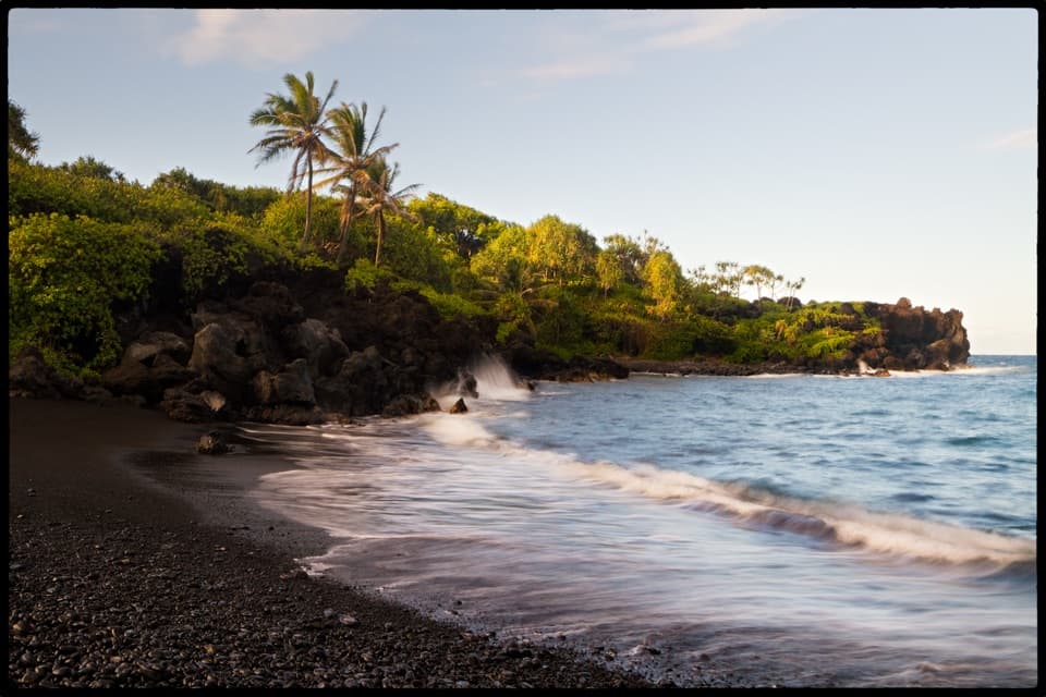 EasySea Caves and Black Sand Beach Trail0.7 mi · 30 min · 0.1 mi awayA short walk from black pebbles to a sea cave and blowhole.
 ModerateFagan’s Cross Trail1.5 mi · 1 hr · 2.6 mi awayA paved climb to Hāna’s hilltop cross and coastal views.
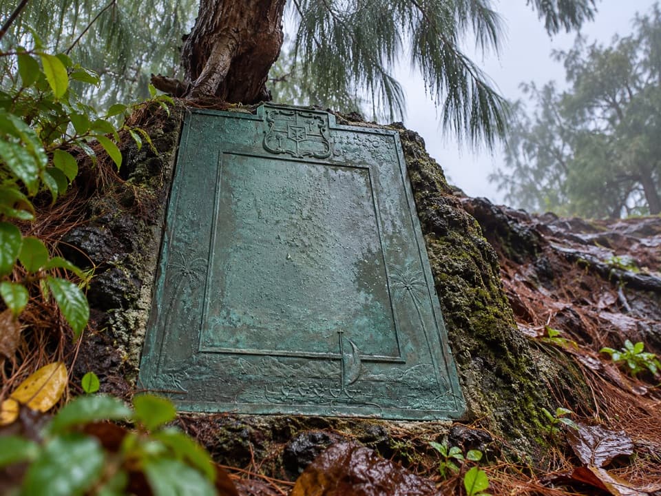 ModerateHāna Bay Cliff Path0.4 mi · 45 min · 2.7 mi awayA short cliff path to Kaʻahumanu’s birthplace plaque
 EasyPuaʻa Kaʻa Falls Trail0.1 mi · 15 min · 8.1 mi awayA tiny waterfall loop makes a good Road to Hāna breather.
 ModeratePīpīwai Trail4 mi · 3.5 hr · 9.1 mi awayBamboo corridors and two waterfalls reward the steady climb inland.
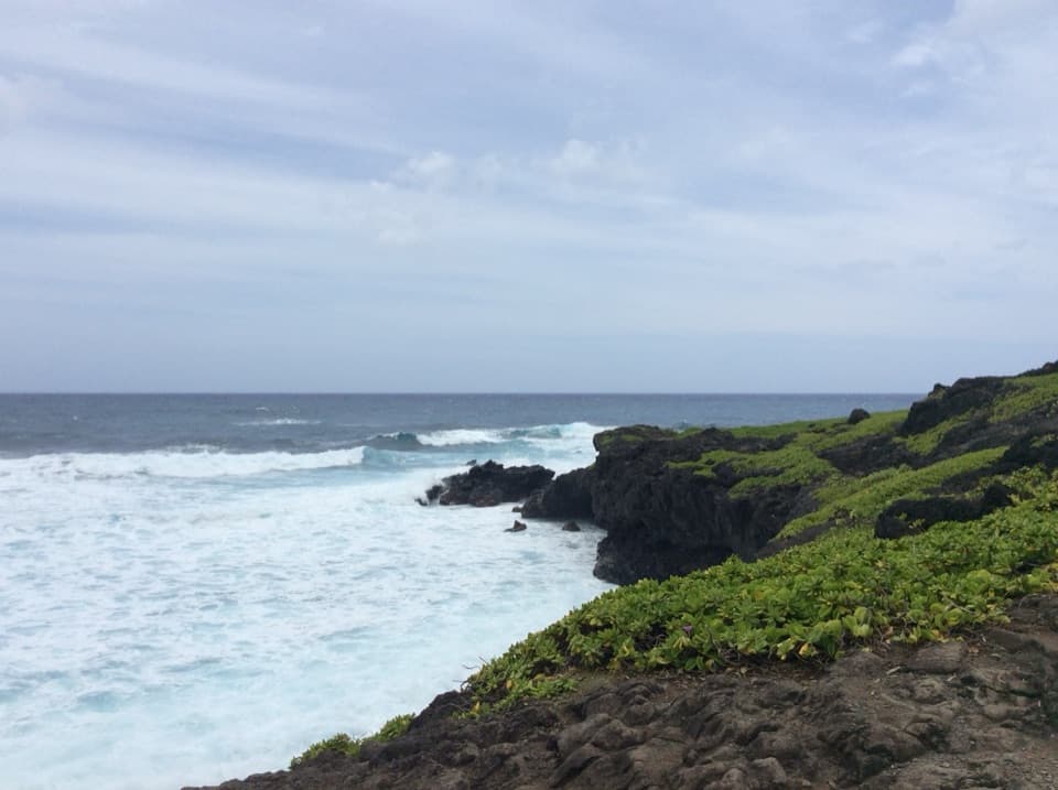 EasyKūloa Point Trail0.5 mi · 45 min · 9.2 mi awayA short coastal loop to Kūloa Point and ʻOheʻo Gulch.
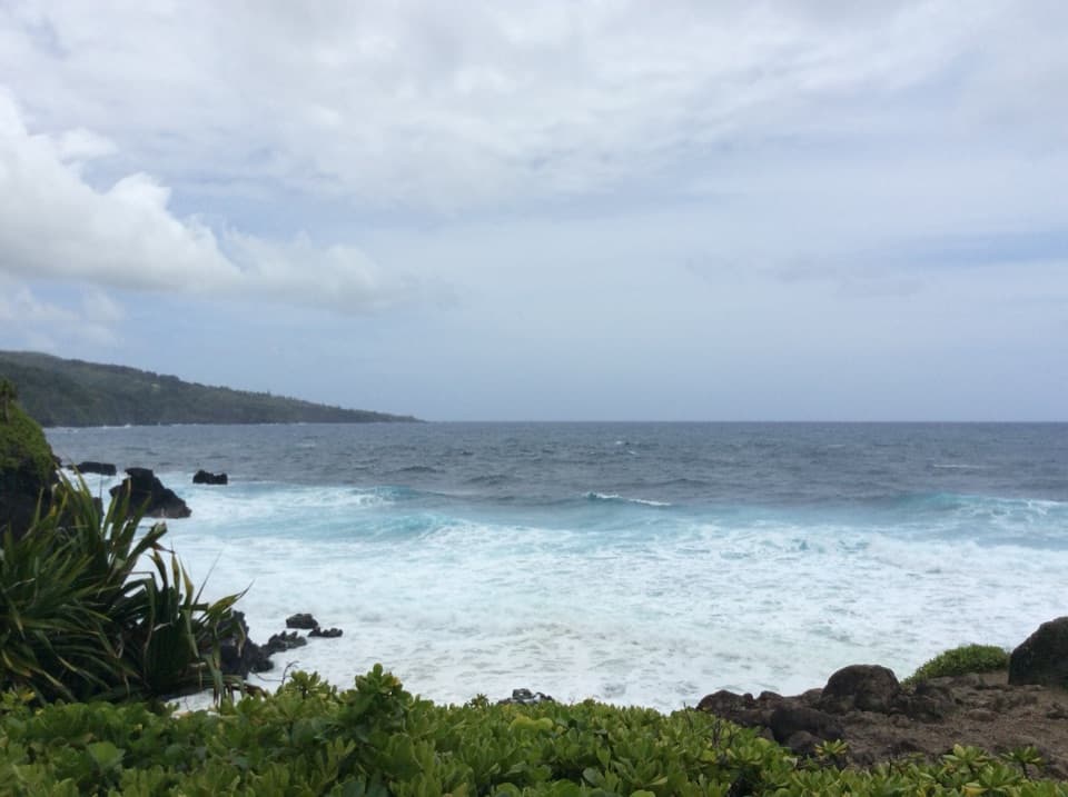 EasyKahakai Trail0.3 mi · 20 min · 9.3 mi awayA short coastal link from Kīpahulu Campground to Kūloa Point Trail
 Campground · 0.1 mi awayWaiʻānapanapa State Park CampgroundAn overnight stay gives you a head start on the black-sand coast.Sight · 0.2 mi awayWaiʻānapanapa State ParkA black-pebble beach with a sea cave and jagged lava coast.
 Restaurant · 1.2 mi awayHāna FarmsStop for banana bread, Hāna-made food and lunch under bamboo.
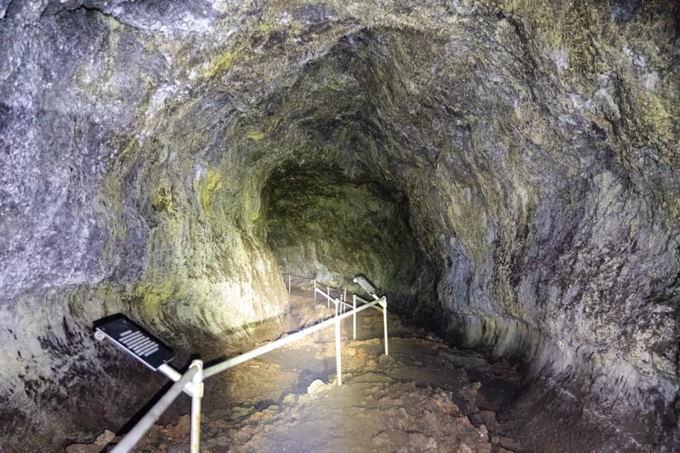 Sight · 1.6 mi awayHāna Lava TubeA short cave walk with lava textures and a Cold War surprise.
 Sight · 2.3 mi awayKahanu GardenA huge heiau anchors a Pacific plant garden beside the sea.
 Sight · 2.5 mi awayHāna Cultural Center & MuseumLocal stories, an 1871 lockup and a replica chiefly compound.
 Lodging · 2.7 mi awayHāna-Maui ResortAn ocean-view stay at the far end of the Hāna drive.
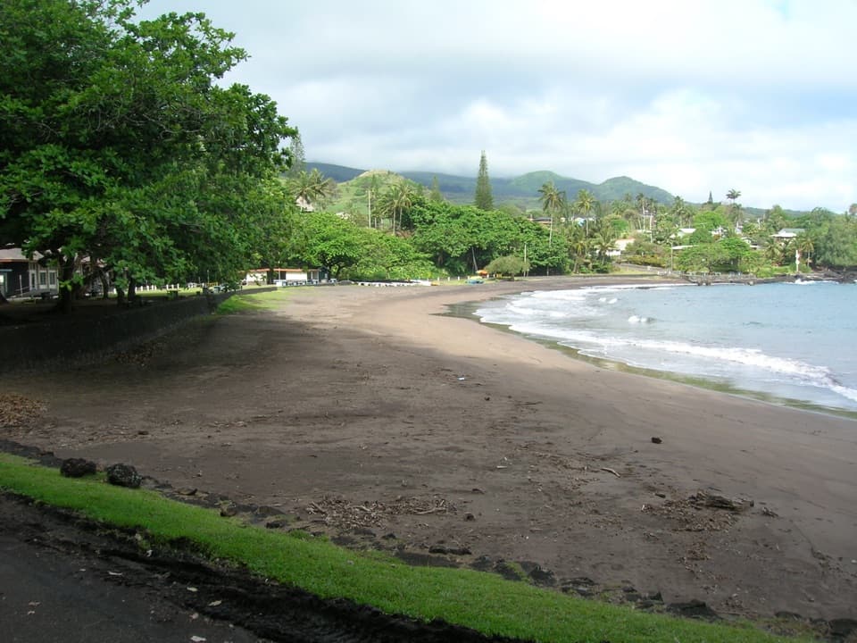 Beach · 2.7 mi awayHāna Bay Beach ParkA shaded picnic stop with a dark-sand shoreline.
Parkwolf’s Road to Hana ranking

The audio tour guide for the drive, plus offline maps, trails, and wildlife heatmaps for when the signal drops.

