Parking
Start at Pīpīwai Trail Access in the Kīpahulu Visitor Center area off Hāna Highway. Use the visitor-area parking and have a Haleakalā park entrance pass; drinking water is available at visitor centers.

#1 of 13 trails in Road to Hana
Road to Hana, HI
Bamboo corridors and two waterfalls reward the steady climb inland.
Overview
Map & elevation
Plan your hike

The highest, rockiest slopes around here are a summer buffet for grizzly bears.
Road to Hana Tour Guide
Parkwolf is a GPS audio tour guide for Road to Hana. As you drive, it chimes in with what’s ahead: hidden gems, upcoming stops, history, geology, and wildlife, right through your car’s speakers.
See the Road to Hana audio tourRecorded for this trailhead
Kīpahulu’s Coast and Waterfalls“You’re coming up on Kīpahulu Visitor Center, the starting point for coastal walks and the Pīpīwai waterfall hike.”
Plays as you drive up to this trailhead in the Parkwolf Road to Hana Tour Guide.
More stories near here in the app
“Fantastic app with many points of information… It’s great to just turn on while you’re driving and it gives you an audio tour of the national Park. We love it!!!!”


Trail guide
Pīpīwai Trail is an out-and-back from the Kīpahulu access area to the designated viewing area for Waimoku Falls. The park lists 4 miles round trip and about 800 feet of elevation gain, with the falls two miles from the start. A connected digital trail line measures about 1.6 miles each way, and GPS totals vary, so treat the park’s whole-mile distance as a rounded planning figure. Allow about three to four hours with time for the two waterfall stops and the bamboo forest. The trail is moderately strenuous: you climb to the falls, then retrace the same route downhill.
The path leaves the visitor area and works inland through varied forest beside a freshwater stream. At about half a mile, a short stop at Makahiku Overlook gives the first view of Makahiku Falls. The route continues through forest, with the large banyan tree becoming a landmark on the way. Its long branches and hanging roots spread across an open patch beside the trail; pause here if you want a break before the longer climb. The stream is more than scenery: the coastal forest watercourse is habitat for endemic fish, though there is no guarantee you will see them.
Around a mile in, the trail enters the bamboo forest. Tall green stalks close over the path, and boardwalks and footbridges carry you across sections of the grove and stream. It is the change in the walk that makes this section memorable: the broad forest trail narrows into a shaded corridor, then opens again at crossings. Between the built sections, expect an uneven mix of dirt, rocks, roots, and steps. Hikers regularly describe mud and slippery patches after rain, so sturdy, closed-toe shoes matter more here than on a smooth park path. The Kīpahulu district is humid and rainy, and a dry start does not promise dry footing farther along.
At the two-mile point, the trail ends at the designated Waimoku Falls viewing area. The waterfall drops down a high, green cliff above the forest, with the narrow stream corridor opening into a much larger wall of rock and vegetation. Stop at the marked public viewpoint; do not continue beyond posted barriers to approach the falls base. Off-trail travel is dangerous and illegal. For a photo, include some of the surrounding cliff and foreground leaves with the waterfall so the frame shows the scale of the setting, not just the white ribbon of water.
The trail starts in the Kīpahulu Visitor Center area, reached by Hāna Highway. Use the visitor-area parking and have a Haleakalā park entrance pass. Drinking water is available at visitor centers, but no food is sold in the park, so bring what you need for a several-hour walk and the drive. Pets are prohibited on park trails. Check posted closures before setting out, and stay on the marked route for the full visit.
Wildlife
 10 sightingsHawaiian Monk SealMost seen around 11 AMSighting map
 127 sightingsGreen Sea TurtleMost seen around 5 PMSighting map
 86 sightingsFrigatebirdMost seen around noonSighting map
 17 sightingsRed-footed BoobyMost seen around 6 AMSighting map
 73 sightingsNene (Hawaiian Goose)Most seen around 6 AMSighting map
 58 sightingsHawaiian StiltMost seen around 8 AMSighting map
Sighting maps show where each species has been reported across Road to Hana. Wildlife moves, so no sighting is guaranteed.
Keep exploring
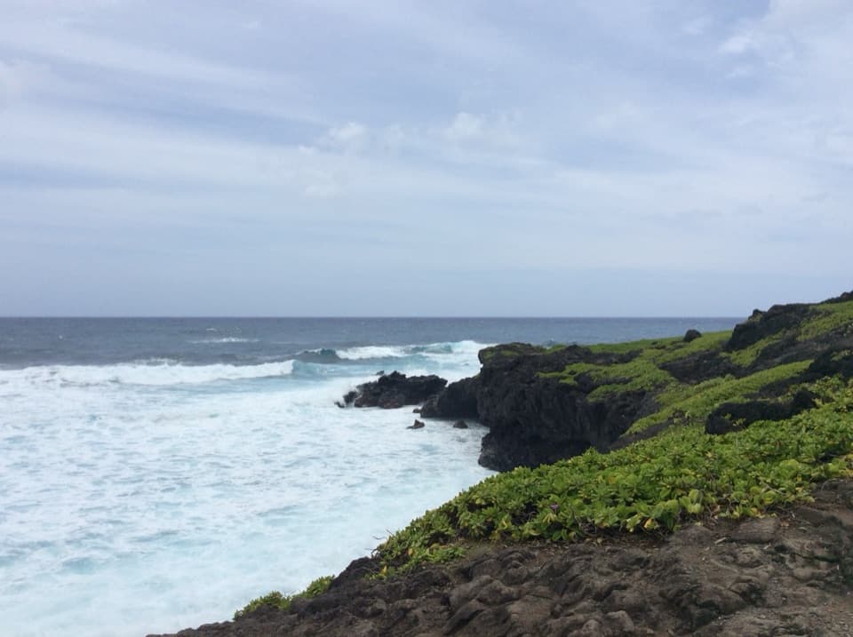 EasyKūloa Point Trail0.5 mi · 45 min · 0.1 mi awayA short coastal loop to Kūloa Point and ʻOheʻo Gulch.
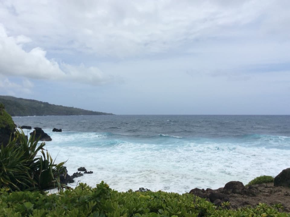 EasyKahakai Trail0.3 mi · 20 min · 0.2 mi awayA short coastal link from Kīpahulu Campground to Kūloa Point Trail
 ModerateFagan’s Cross Trail1.5 mi · 1 hr · 7.3 mi awayA paved climb to Hāna’s hilltop cross and coastal views.
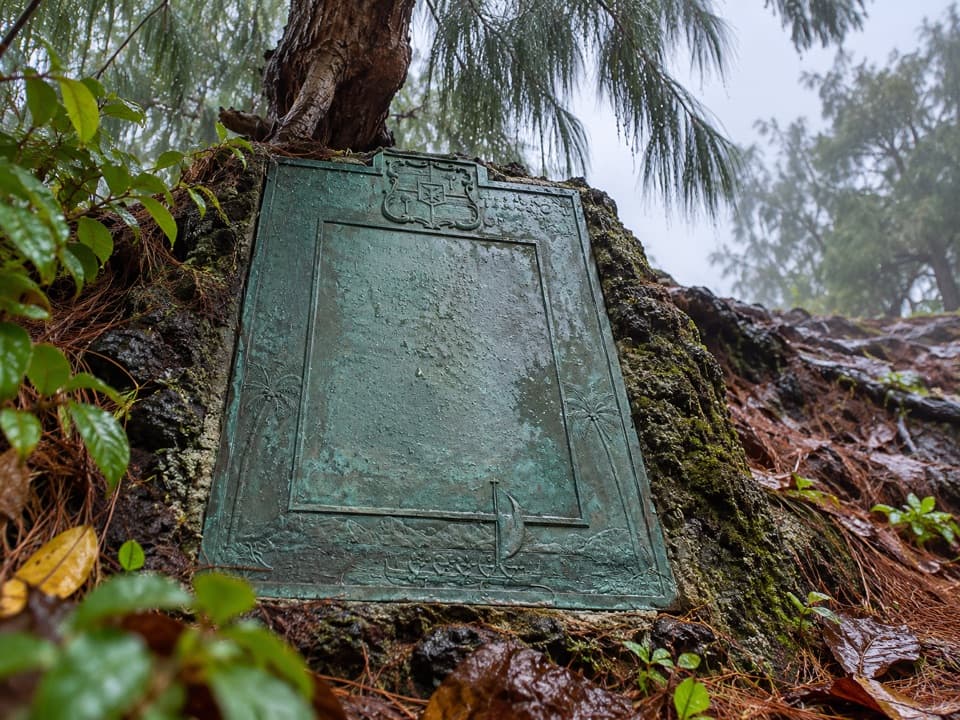 ModerateHāna Bay Cliff Path0.4 mi · 45 min · 7.6 mi awayA short cliff path to Kaʻahumanu’s birthplace plaque
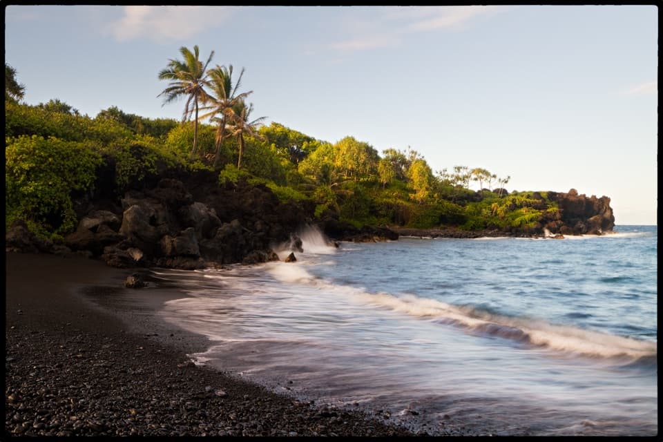 EasySea Caves and Black Sand Beach Trail0.7 mi · 30 min · 9.1 mi awayA short walk from black pebbles to a sea cave and blowhole.
 ModerateKe Ala Loa O Maui / Piʻilani Trail3 mi · 2.3 hr · 9.1 mi awayRough lava, a blowhole, and a boulder beach at the far end.
 ModerateWaiʻānapanapa Coast Trail North1.9 mi · 1.5 hr · 9.1 mi awayBlack lava, tucked coves, and a blowhole on a short coast walk.
 EasyPuaʻa Kaʻa Falls Trail0.1 mi · 15 min · 11.8 mi awayA tiny waterfall loop makes a good Road to Hāna breather.
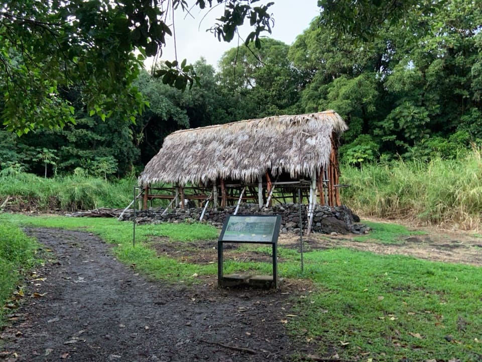 Sight · 0.1 mi awayHale HālāwaiA traditional meeting house adds a cultural pause at the trail fork.
 Visitor center · 0.1 mi awayKīpahulu Visitor CenterA water refill and trail advice before exploring Kīpahulu.
 Sight · 0.2 mi awayPools of ʻOheʻoA short loop for waterfall views; you can't swim in the pools.
 Campground · 0.2 mi awayKīpahulu CampgroundQuiet camping above the cliffs; bring your own water.
 Sight · 0.3 mi awayMakahiku Falls OverlookA half-mile walk to a nearly 200-foot waterfall and carved valley.
 Sight · 1 mi awayPalapala Hoʻomau ChurchA quiet coastal church and cemetery hold Lindbergh’s grave.
 Food · 1.2 mi awayLaulima Farm Fruit Stand & CafeA tropical fruit tasting with a shady garden walk.
 Sight · 1.3 mi awayWaimoku FallsThe bamboo forest makes this four-mile waterfall hike worth the work.
Parkwolf’s Road to Hana ranking

The audio tour guide for the drive, plus offline maps, trails, and wildlife heatmaps for when the signal drops.

