
Place · 0 mi away
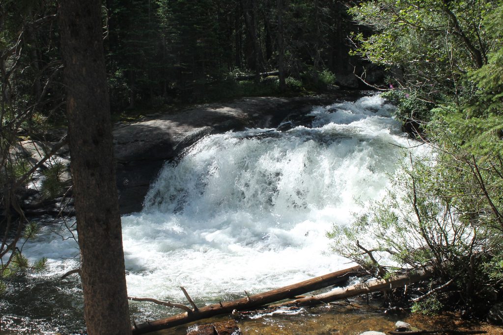
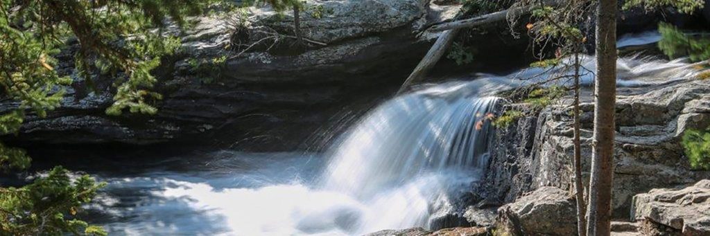
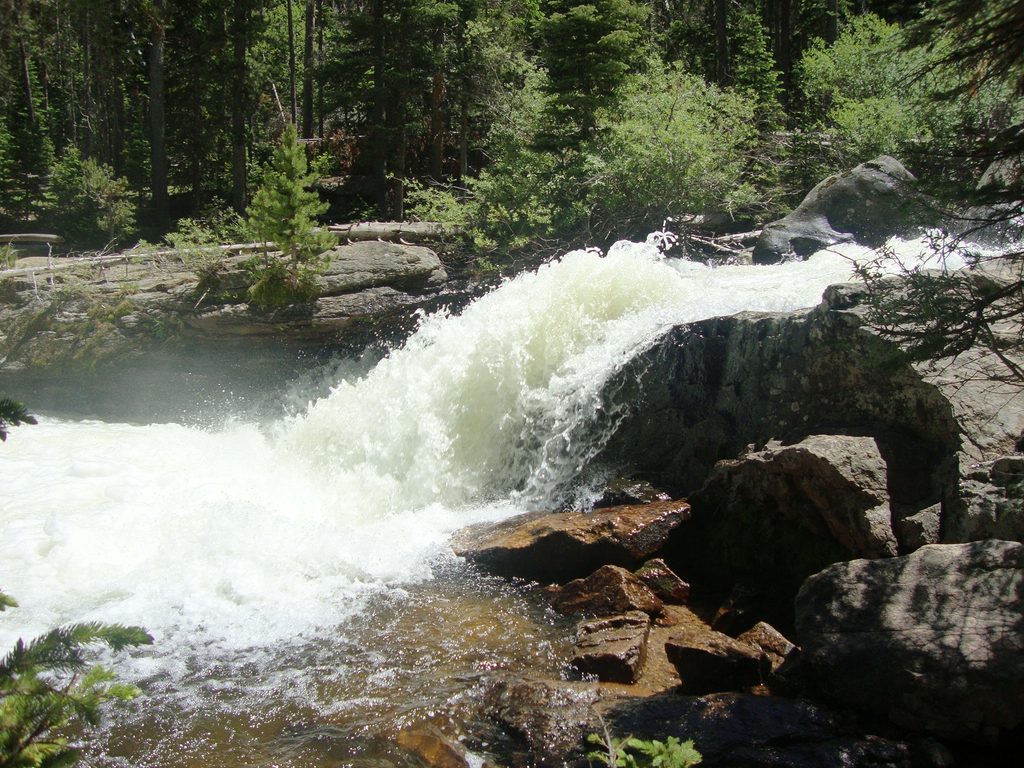
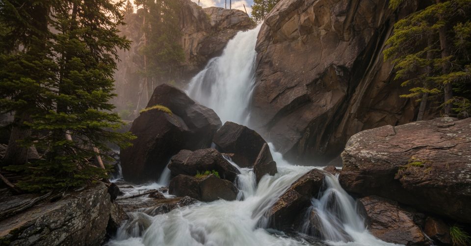
Lower Copeland Falls is the quick win of Wild Basin—tumbling cascades just minutes from the trailhead, wrapped in pine and aspen. It’s an easy, family-friendly outing with the soothing soundtrack of North Saint Vrain Creek and plenty of shade.
From the Wild Basin Trailhead, the path is mostly level and well‑signed. Cross two footbridges, then take the spur to the Lower Falls at roughly 0.3 miles. Upper Copeland Falls sits another ~0.2 miles upstream. Plan on about 1 mile round‑trip to visit both tiers, with only minor ups and downs. Expect a few rocky or rooty spots and slick rock near the water—great for photos, but take care.
Rock uplift and long-term erosion left stair‑step layers of resistant bedrock here; the creek tumbles over these natural steps, creating the cascades you see at Copeland Falls.
This stretch of Wild Basin regularly turns up moose and deer. Give them very wide space and never approach—moose are large, fast, and unpredictable.
If you’ve got the energy, continue up the main trail to Calypso Cascades and Ouzel Falls for bigger water and more mileage. Copeland is a perfect warm‑up.
Turn off CO‑7 at the Wild Basin sign and follow the narrow dirt road about 2 miles to the road’s end. The trailhead area has parking, vault restrooms, picnic tables, and a ranger station. It’s popular—arrive early or later in the afternoon for a better shot at a space.
Late spring through summer brings peak flow and wildflowers. In winter, the road typically closes to vehicles and the area becomes a snowshoe destination; bring traction appropriate to conditions. No dogs on park trails. Stock can use the main trail but must stop before the falls. Anglers need valid licenses and must follow regulations.
Place · 0 mi away
Place · 0 mi away
Place · 0.1 mi away
Place · 0.5 mi away
Moderate · 0.1 mi away
Moderate · 0.1 mi away
Challenging · 0.1 mi away
Moderate · 0.1 mi away

Parkwolf Tour Guide
