Overview
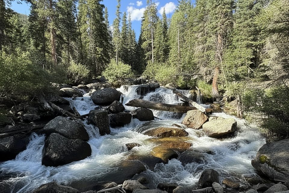
Wild Basin Trailhead is the low-key, wilder gateway to the park’s southeast corner. Think roaring creeks, wooden bridges, and a greatest-hits lineup of cascades on the way to big alpine basins. A small ranger station and vault toilets sit at the end of the gravel approach road. Expect a more tranquil feel than Bear Lake—if you time it right.
What You’ll See
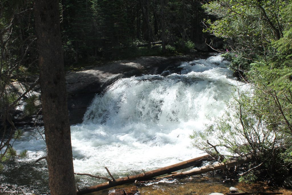
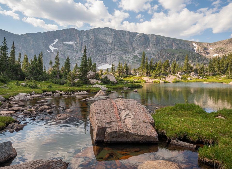
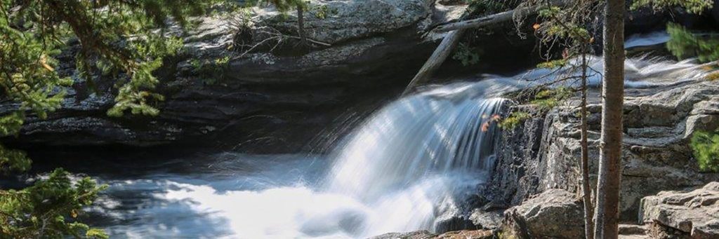
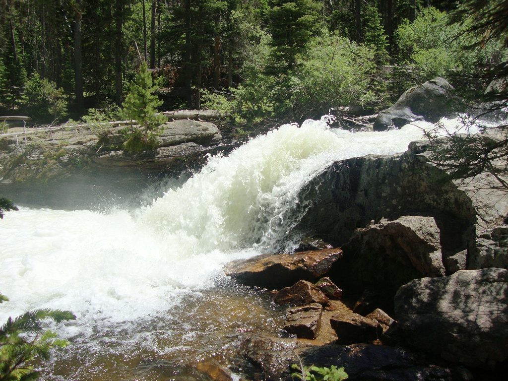
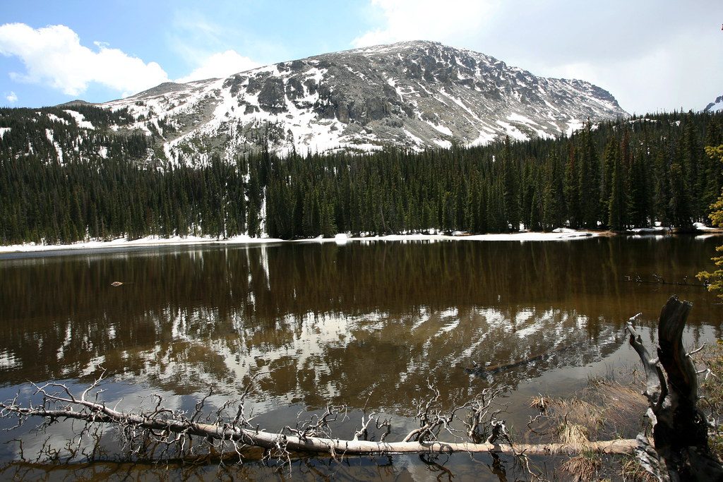
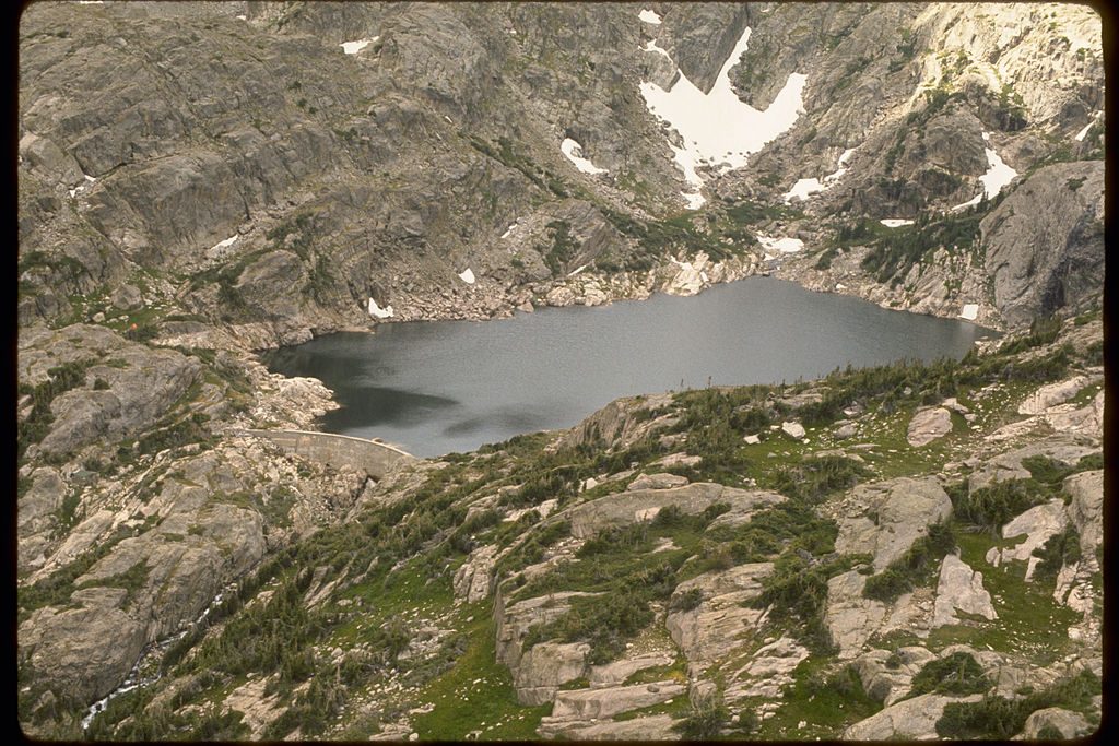
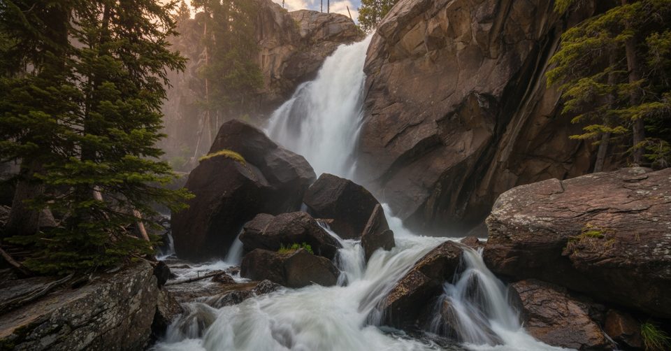
This is waterfall country. Short walks deliver Copeland Falls and Calypso Cascades; go farther for Ouzel Falls and on to lakes tucked under jagged peaks. The trail network follows the creek for long stretches, so you’ll hike with the sound of moving water most of the day. Burn scars from the 1978 Ouzel Fire are visible on routes toward Ouzel Lake, a reminder of the area’s natural reset.
Top Hikes from the Trailhead (round-trip)
- Copeland Falls: ~0.6 mi, easy.
- Ouzel Falls: ~5.4–6 mi, ~950 ft gain, moderate.
- Hidden Falls: ~4.4 mi, ~500 ft gain.
- Ouzel Lake: ~10 mi, ~1,700 ft gain.
- Thunder Lake: ~10.6 mi, ~2,234 ft gain.
- Bluebird Lake: ~12.6 mi, ~2,478 ft gain.
- Lion Lakes & Snowbank: ~14 mi, ~3,021 ft gain.
- Advanced options with navigation: Eagle & Box Lakes, Junco Lake; Lake of Many Winds via Thunder Lake.
Wildlife
This is bear country with healthy wildlife in general. Dawn and dusk are your best bets for sightings. Give animals space, secure food and scented items, and keep your eyes open along creeks and meadows.
Seasonal Notes
- Spring: Trails can be slushy or muddy; some years late May waterfalls aren’t at full drama yet.
- Early summer: Peak snowmelt supercharges the cascades—prime time for waterfall chasers.
- Summer afternoons: Thunderstorms are common; start early.
- Winter: The road is typically gated about 1 mile before the main lot (use the winter trailhead). Expect snow/ice and “complex” avalanche terrain off the main trails; traction or snowshoes are often necessary.
Logistics
- Road & parking: The final approach is narrow, unpaved, and bumpy. Parking is limited and fills very early on busy days. Turnarounds are tight when full.
- Facilities: Vault toilets at the trailhead; no running water—bring what you need.
- Cell service: Spotty to nonexistent; download maps for offline use.
- Fees & entry: Standard park entrance fees apply. Seasonal timed-entry permits may be required during daytime hours—policies change, so check current NPS guidance before you go.
Best Time to Visit
- For solitude: Arrive at dawn or come late afternoon/evening. Weekdays are easier than weekends.
- To see waterfalls at their best: Early summer during peak runoff.
- Crowds: Weekends from late morning into mid-afternoon are the crunch; early starts beat the rush and afternoon storms.
Is It Worth It?
If you want classic creek-and-cascade hiking without the Bear Lake scene, this is your move. The tradeoffs—rougher road and tight parking—are worth the payoff of big scenery and a more backcountry feel right from the car.